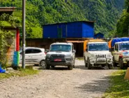
Plan a Trip


Private Jeep Hire for Salleri, Phaplu, Thamdanda & Surke
 Private Jeep Hire for Salleri, Phaplu, Thamdanda, and Surke
For decades now, reaching the remote Everest region has meant either a dramatic, short flight into Lukla’s famously challenging mountainside airstrip or a long, multi-day trek in from Jiri following the historic route used by early Everest expeditions. Over the past several years, however, steady road construction through Solukhumbu district has quietly rewritten this equation, extending drivable access well beyond the traditional Salleri and Phaplu roadhead toward the villages of Thamdanda and, increasingly, Surke, bringing jeep transport closer than ever to the standard Everest trekking trail near Lukla itself.
This guide covers everything trekkers need to know about arranging
Private Jeep Hire Salleri Phaplu: the geography of this extended road corridor, how far the road actually reaches today, the journey from Kathmandu itself, vehicle options, how this changing roadhead affects Everest region trekking itineraries, permits, seasonal considerations, and how this overland route compares to flying into Lukla. Nepal Vehicle Hiring has arranged jeep transport along this exact corridor for years, and this guide draws directly on that route experience.
Where Are Salleri, Phaplu, Thamdanda, and Surke
Salleri itself serves proudly as the district headquarters of Solukhumbu, the broader district containing the entire Everest region within its boundaries, while Phaplu, a short distance away, hosts its own small airstrip and has long served as an alternative, lower-risk entry point to the region compared to Lukla’s more famous and more challenging airstrip. Thamdanda and Surke themselves sit considerably further along this same general road corridor, considerably closer to the standard Everest trekking trail, with Surke in particular sitting close enough to Chaurikharka, just below Lukla, that trekkers driving this far can join the main Everest Base Camp trekking route with only a short remaining walk, bypassing the need to fly into Lukla at all.
This lower Solukhumbu region sits within the Solu portion of the district, distinct from the higher Khumbu region containing Namche Bazaar, Everest Base Camp, and the classic high-altitude trekking trail, and is home to a mixed population of Rai, Chhetri, and other communities alongside the Sherpa population more commonly associated with the higher Khumbu villages further up the trail.
The Journey From Kathmandu
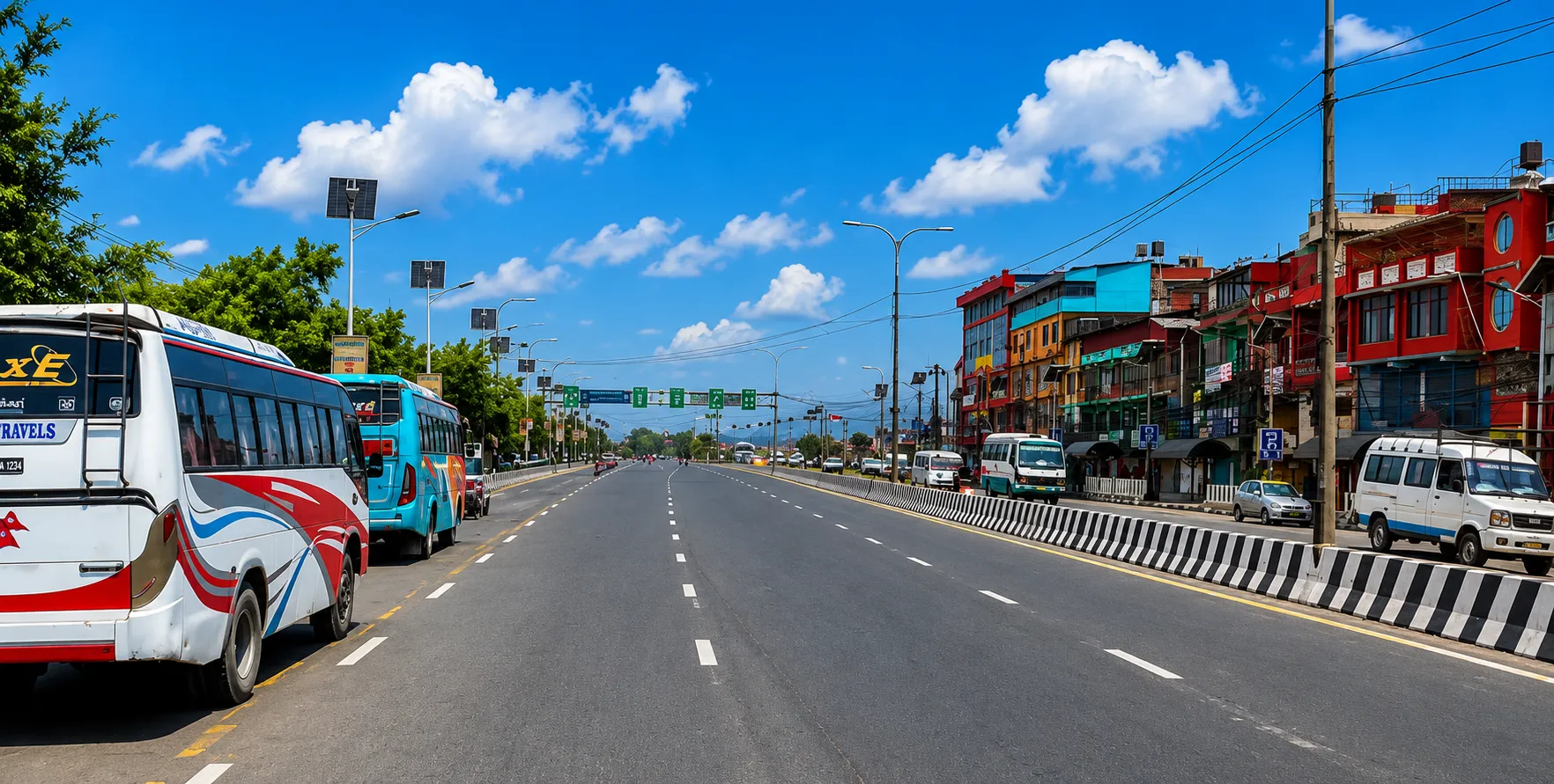
The drive from Kathmandu toward Salleri and Phaplu covers a considerable distance through Nepal’s central and eastern hill regions, typically taking a full day or, more commonly, two days with an overnight stop, given the distance and road conditions involved. Our
Kathmandu to Salleri Phaplu jeep service covers this established leg of the journey in detail, and forms the foundation for the extended route now reaching toward Thamdanda and Surke as road construction has continued to push further along this corridor in recent years.
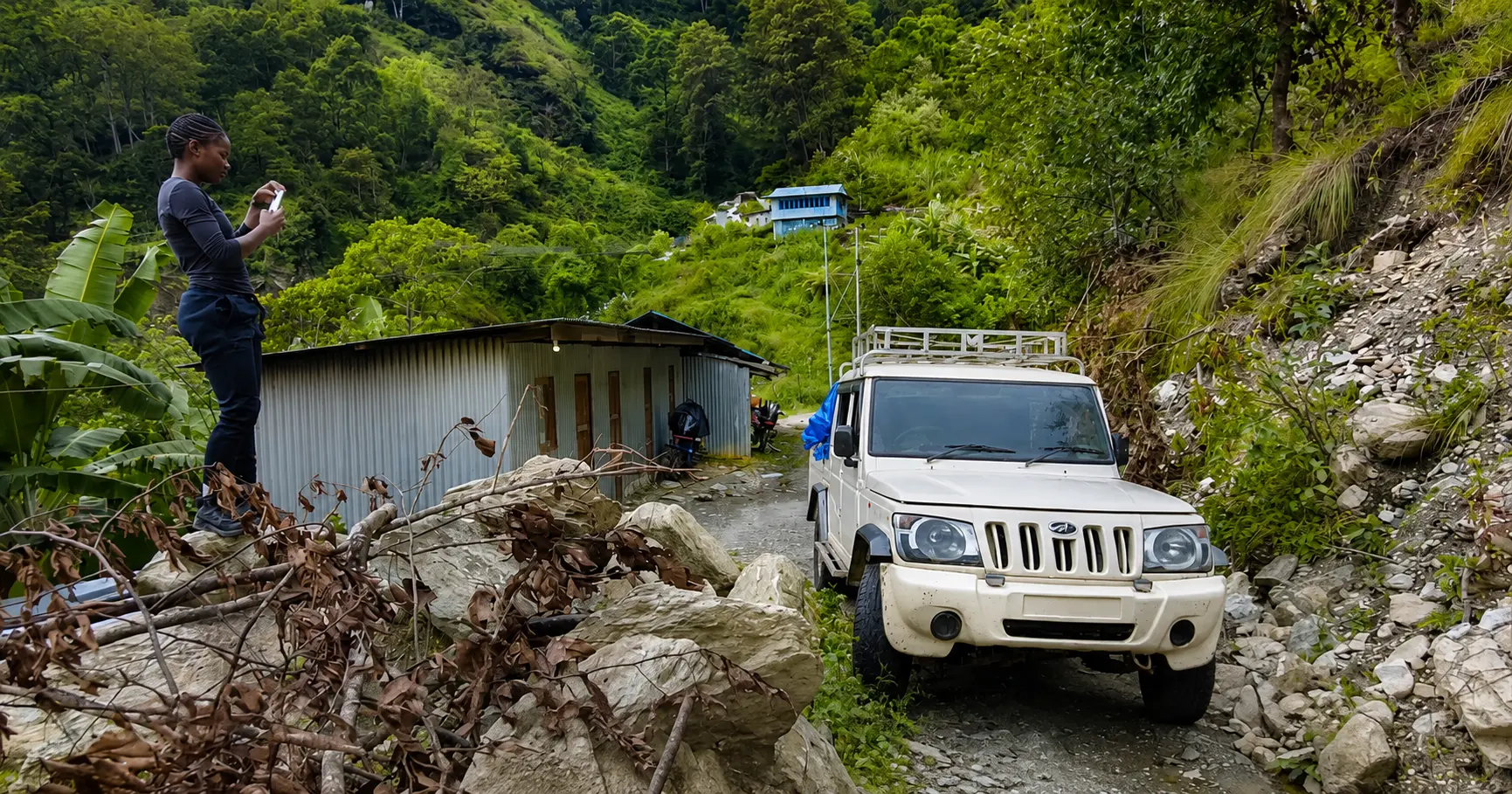
Beyond Phaplu, the more recently constructed and considerably rougher road continues toward Ringmo, Taktor, and onward toward Thamdanda, with the furthest currently drivable sections reaching Surke on a good day, subject to current road maintenance and recent weather conditions. This extended section demands a genuine four-wheel-drive vehicle and a driver with specific, up-to-date knowledge of exactly how far the road remains passable on any given trip, since this changes more frequently on this newer section than on the well-established Kathmandu-to-Phaplu leg.
Why This Extended Route Matters
The extension of drivable road access beyond Phaplu toward Thamdanda and Surke represents a genuinely significant development for Everest region trekking logistics, offering trekkers a way to reach the immediate vicinity of the standard trekking trail without relying on a Lukla flight at all. Lukla’s small mountainside airstrip, despite its considerable international fame, remains notoriously subject to significant weather-related delays and cancellations, particularly during the shoulder seasons and any period of genuinely unstable, unpredictable mountain weather, and a growing number of trekkers now specifically choose the overland route via Salleri, Phaplu, and onward toward Surke specifically to avoid this flight risk entirely, accepting a longer overall journey in exchange for greater schedule reliability.
Vehicle Options for This Route
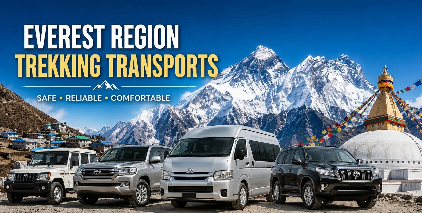
Toyota Land Cruiser and Prado
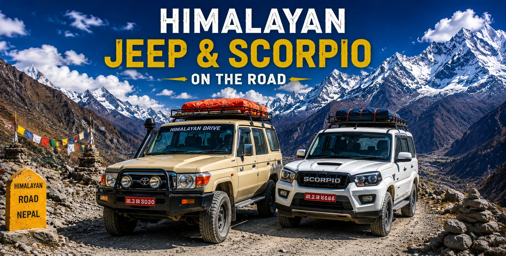
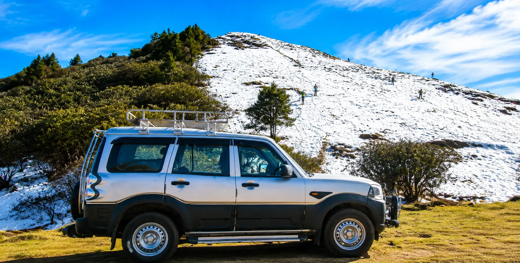
For the demanding sections beyond Phaplu toward Thamdanda and Surke, a Land Cruiser or Prado remains the most reliable option, offering the ground clearance and mechanical dependability this genuinely rough corridor requires.
Mahindra Bolero and Local Jeeps
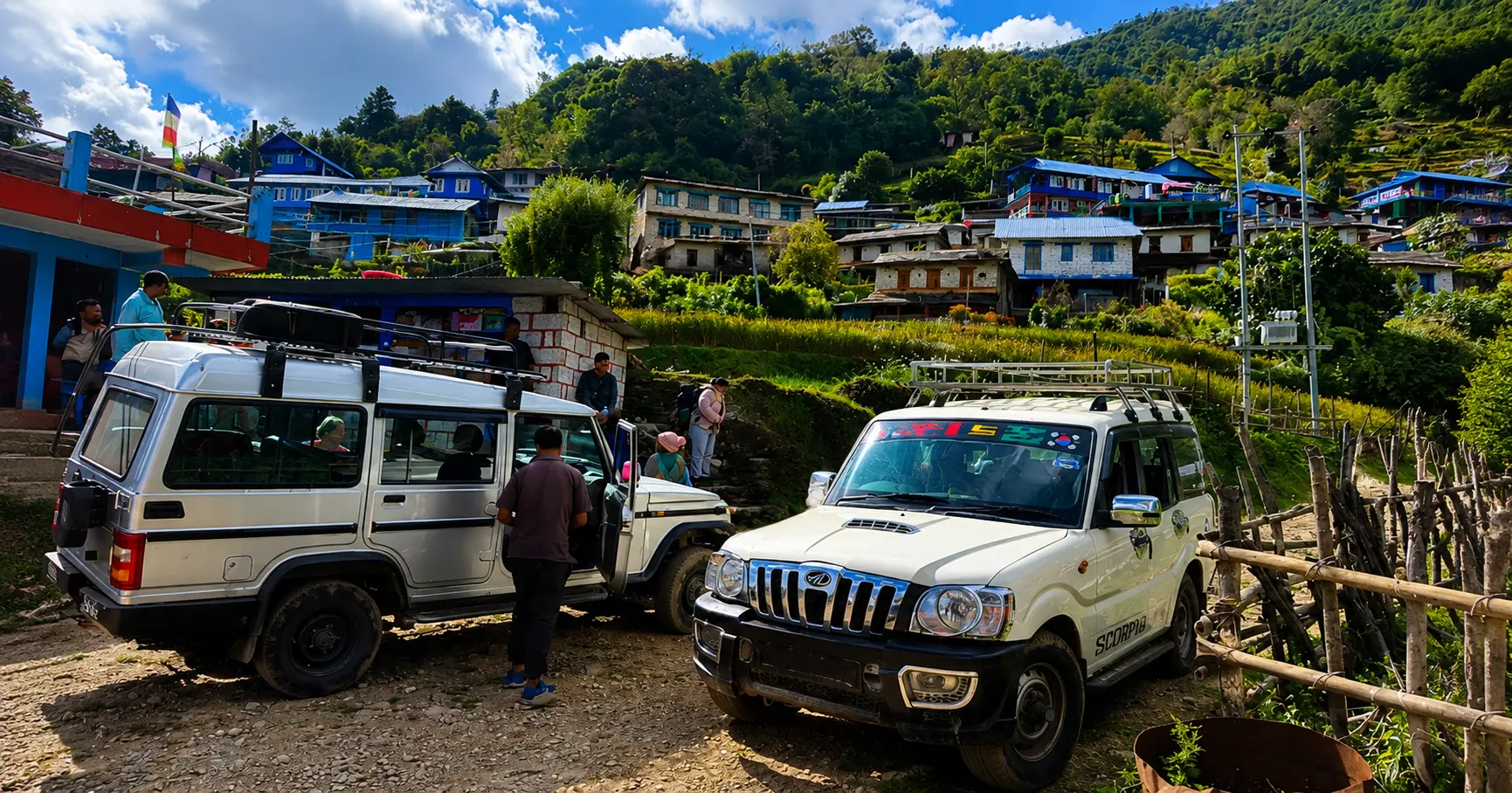
Local jeeps such as the Mahindra Bolero are widely used by regional operators on this corridor and remain a practical, cost-effective option for smaller groups, discussed further in our
Mahindra Bolero and Tata Sumo trekking transfer guide.
Executive Hiace for the Kathmandu-Phaplu Highway Sections
For larger trekking groups, our
Hiace hire service suits the more established, paved sections of the journey closer to Kathmandu, before smaller groups transfer into 4WD jeeps for the rougher stretch beyond Phaplu.
Phaplu’s Airstrip as an Alternative to Lukla
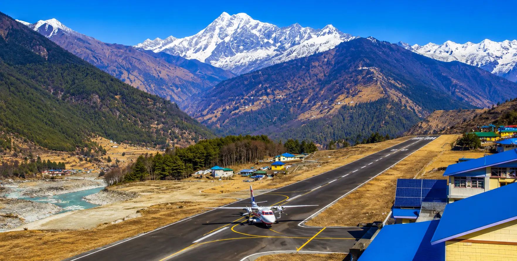
Beyond its role as a road terminus, Phaplu also hosts its own small airstrip, occasionally used as a lower-risk alternative to Lukla for trekkers wanting to fly rather than drive the full distance from Kathmandu, while still avoiding Lukla’s more challenging approach and higher weather-related cancellation rate. This gives trekkers a genuine third option beyond a pure road journey or a Lukla flight: driving or flying to Phaplu, then continuing on foot or by the extended road toward Thamdanda and Surke before joining the main Everest trail.
Trekking From Surke to the Main Everest Trail
For trekkers driving as far as the road currently allows toward Surke, the remaining walk to join the standard Everest Base Camp trekking route near Chaurikharka and Lukla itself is considerably shorter than the multi-day walk once required from Jiri or even from Phaplu in earlier years. This compressed approach has made the overland route an increasingly practical alternative to flying, rather than simply a slower, more scenic option reserved for trekkers with unlimited time, and its growing popularity reflects genuine road infrastructure improvement rather than simply changing trekker preferences.
Comparing the Overland Route to Flying Into Lukla
Flying to Lukla remains the fastest way to begin an Everest Base Camp Trek, but carries genuine weather-related risk, with flights frequently delayed or rerouted through Manthali in Ramechhap district during peak season, as discussed in our
Everest Range Nepal Full Guide. The overland route via Salleri, Phaplu, Thamdanda, and Surke takes considerably longer overall, typically adding two to three days compared to flying directly, but offers far greater schedule predictability, an important consideration for trekkers with a fixed return flight or limited overall trip duration who cannot afford an open-ended wait for Lukla flight conditions to improve.
Comparing This Route to the Classic Jiri Approach
The traditional Jiri to Everest route, covered in our companion guide to the
Jiri to Everest Trek offered by our sister company Alpine Luxury Treks, remains available for trekkers specifically seeking the full historical approach used by early Everest expeditions including Hillary and Tenzing’s own 1953 climb. The Salleri, Phaplu, Thamdanda, and Surke route, by contrast, offers a considerably shorter overland approach for trekkers prioritizing efficiency over historical authenticity, while still avoiding a Lukla flight entirely.
Permits Required for This Route
Trekkers joining the standard, well-established Everest Base Camp Trek via this particular overland approach require exactly the same permits as those flying into Lukla: a Sagarmatha National Park entry permit and the Khumbu Pasang Lhamu Rural Municipality entry fee, both typically arranged in Kathmandu or at the appropriate checkpoint along the route. No additional restricted area permit is required for this lower Solukhumbu approach itself, since it falls outside any restricted zone.
Best Time of Year for This Route
Spring (March to May)
Generally favorable road conditions and stable weather make this one of the two peak seasons for both the drive and onward trekking.
Summer and Monsoon (June to August)
Heavy rainfall significantly increases landslide risk on the rougher sections beyond Phaplu, making this the least reliable season for the extended road toward Thamdanda and Surke specifically.
Autumn (September to November)
The clearest skies and most stable conditions of the year, and the busiest season for Everest region trekking overall, making early booking for this route advisable.
Winter (December to February)
Cold conditions affect the higher trekking sections beyond Surke, though the lower road corridor itself generally remains passable, appealing to trekkers seeking a quieter season.
Road Safety on This Extended Corridor
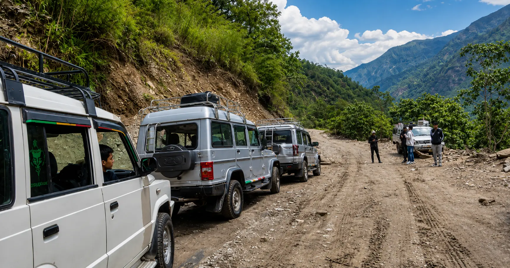
The road beyond Phaplu toward Thamdanda and Surke remains considerably rougher and less consistently maintained than the established Kathmandu-to-Phaplu highway sections, passing through active landslide zones particularly during and after the monsoon. An experienced driver with current, up-to-date knowledge of exactly how far the road remains passable is essential, given how much this can change between trips depending on recent weather and maintenance activity.
Combining This Route With the Full Everest Base Camp Trek
Trekkers using this overland approach typically continue on to complete the full
Everest Base Camp Trek offered by our sister company, Alpine Luxury Treks, joining the standard trail near Chaurikharka and continuing through Namche Bazaar, Tengboche, and onward to Base Camp and Kala Patthar exactly as trekkers flying into Lukla would, simply with a different and more schedule-reliable starting point.
Cost Factors for This Route
Vehicle hire costs for the Salleri, Phaplu, Thamdanda, and Surke corridor depend on vehicle class, group size, and how far the current road allows the vehicle to travel on a given trip. Our team is glad to prepare a custom quote based on your group size and travel dates, confirming current road conditions at the time of booking. Visit our
homepage or explore our
trekking transport section for further guidance.
How to Book Your Transport
Booking begins with sharing your group size, preferred travel dates, and whether your priority is reaching as far as possible toward Surke to minimize walking, or a more standard Salleri-Phaplu drop-off. Our team will confirm current road conditions and match the appropriate vehicle and driver for your specific itinerary. Booking at least two to three weeks ahead is recommended during peak spring and autumn seasons.
Related Guides for Planning Your Everest Region Journey
Trekkers planning an Everest region trip via this overland approach may find these related guides useful:
- Everest Range Nepal: Full Guide
- Everest Helicopter Tour: One-Day Full Guide
- Kathmandu to Machha Khola Jeep Transfer
- Kathmandu to Tamang Heritage Trail Transport
- Luxury Vehicles for Trekking in Nepal
- Luxury Airport Transfer Nepal
- Why Luxury Vehicle Hire Is Transforming Nepal Travel
Frequently Asked Questions
How far can I currently drive toward the Everest region without flying?
Road access currently reaches as far as Thamdanda and, on good days, Surke, though exact conditions vary and should be confirmed with your vehicle operator before finalizing travel plans.
Is this route safer than flying to Lukla?
It avoids Lukla’s specific flight-related weather risk entirely, though the road itself demands a genuine 4WD vehicle and an experienced driver given its rough, landslide-prone sections beyond Phaplu.
How much walking remains after driving to Surke?
The remaining walk to join the main Everest trail near Chaurikharka and Lukla is considerably shorter than the traditional Jiri approach, typically achievable within a single day depending on the exact road endpoint on your trip.
Do I need different permits for this route compared to flying into Lukla?
No. The same Sagarmatha National Park permit and Khumbu Rural Municipality entry fee apply regardless of whether you fly into Lukla or approach overland via this route.
Can I fly from Phaplu instead of driving the whole way?
Yes. Phaplu’s airstrip offers an alternative, generally lower-risk flight option compared to Lukla, and can be combined with the extended road toward Thamdanda and Surke for trekkers wanting to shorten their overland journey.
What is the best season for this route?
Spring and autumn offer the most reliable road conditions, with the monsoon season carrying the highest landslide risk on the rougher sections beyond Phaplu.
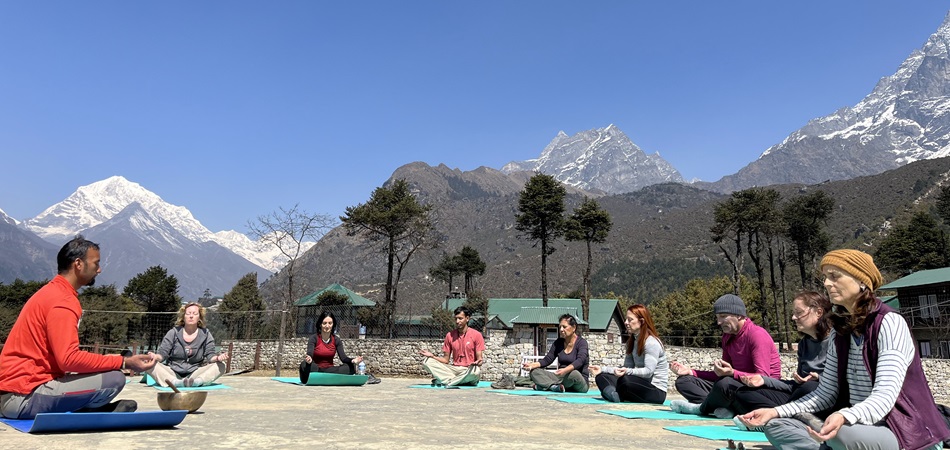
Final Thoughts: Nepal’s Quietly Changing Everest Gateway
The steady extension of drivable road access from Salleri and Phaplu toward Thamdanda and Surke represents one of the more significant, if quietly developing, changes to Everest region trekking logistics in recent years, offering a genuine alternative to Lukla’s flight-dependent access without the multi-day commitment of the full traditional Jiri approach. Getting this journey right, with an experienced driver and up-to-date knowledge of current road conditions, sets a reliable, weather-independent start to one of the world’s great trekking adventures.
Contact Nepal Vehicle Hiring today at +977 9851013196 or visit
vehiclehiringnepal.com to arrange your private jeep for Salleri, Phaplu, Thamdanda, and Surke, and to help plan your onward journey into the Everest region with current, accurate route information for whichever season you plan to travel.
The History of Road Development in Lower Solukhumbu
Road construction into Solukhumbu district has proceeded in distinct phases over recent decades, beginning with the establishment of a reliable road connection to Salleri and Phaplu, which for years served as the practical limit of drivable access toward the Everest region. This Salleri-Phaplu roadhead became the standard starting point for trekkers choosing an overland approach rather than flying into Lukla, effectively creating a shorter alternative to the full traditional Jiri route while still requiring several additional trekking days compared to flying directly. More recently, continued road construction has pushed this drivable limit further, through Ringmo and Taktor, toward Thamdanda and, on favorable days, as far as Surke, progressively compressing the walking distance required to join the standard Everest trekking trail near Lukla and Chaurikharka.
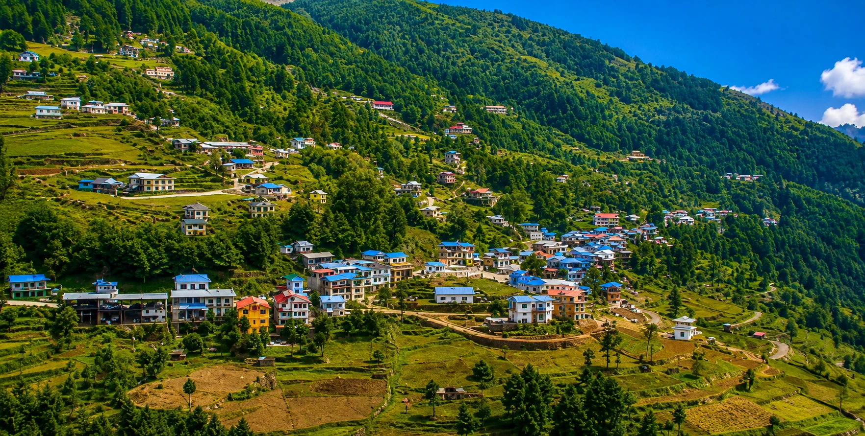
Salleri: The District Headquarters
As the administrative headquarters of Solukhumbu district, Salleri hosts government offices, a hospital, and a range of services reflecting its role as the district’s administrative center, distinct from the more purely trekking-oriented character of villages further up the trail toward the high Khumbu region. Many trekkers pass through or briefly stop in Salleri as part of their overland journey, and the town offers a useful last point for final supplies or services before continuing on toward the more remote sections of the route.
Phaplu in Greater Detail
Phaplu, a short distance from Salleri, has developed its own distinct identity centred around its small airstrip and its role as a common starting or ending point for trekking itineraries in the region. The Phaplu area also hosts a hospital originally established with support connected to the Hillary family’s long-standing philanthropic work in the region, part of the broader legacy of infrastructure development in Solukhumbu tracing back to Sir Edmund Hillary’s post-expedition work supporting local communities throughout the district.
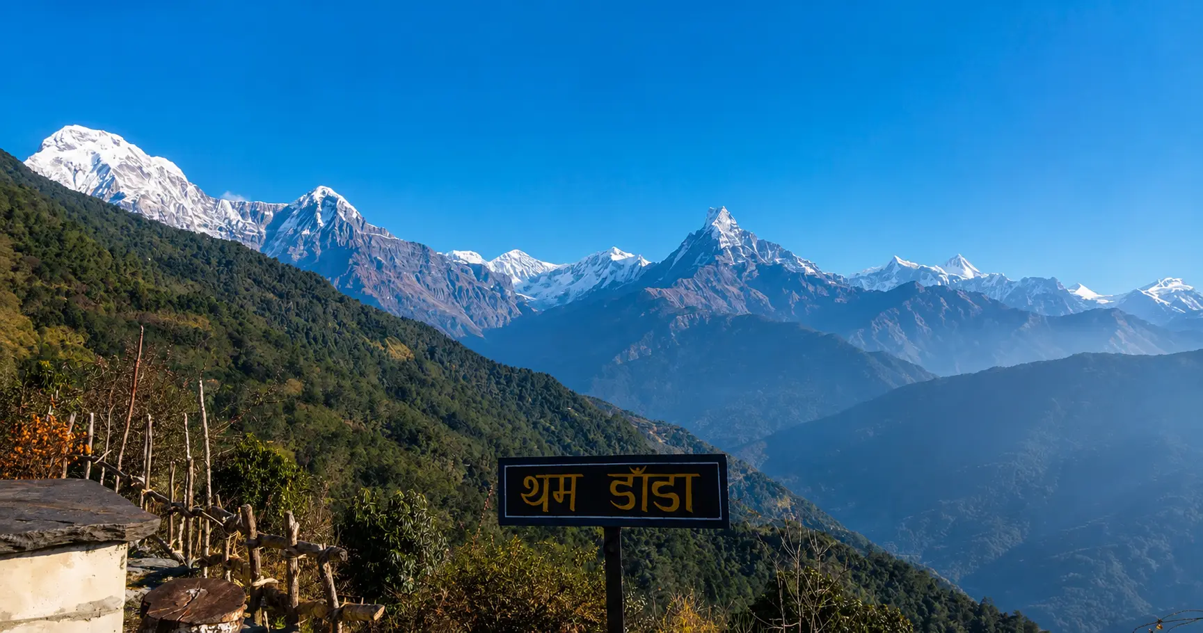
Thamdanda and the Newer Road Sections
Thamdanda represents one of the more recently established points along this extending road corridor, reflecting the ongoing, incremental nature of road construction through this challenging terrain. Unlike the well-established Kathmandu-to-Phaplu highway sections, the road beyond Phaplu toward Thamdanda remains under active development, meaning conditions and the exact drivable endpoint can shift meaningfully between trekking seasons as construction continues and monsoon damage is repaired.
Surke and Its Proximity to the Main Trekking Trail
Surke’s particular significance within this extended road corridor comes from its proximity to Chaurikharka, a village sitting directly on the standard Everest Base Camp trekking trail just below Lukla itself. Trekkers able to drive as far as Surke on a given trip face only a relatively short remaining walk to join this main trail, effectively allowing them to bypass both the Lukla flight and the considerably longer trek from Phaplu or Jiri that earlier generations of overland trekkers faced. This proximity is precisely what has made Surke the focus of considerable interest as road construction has continued to extend toward it in recent years.
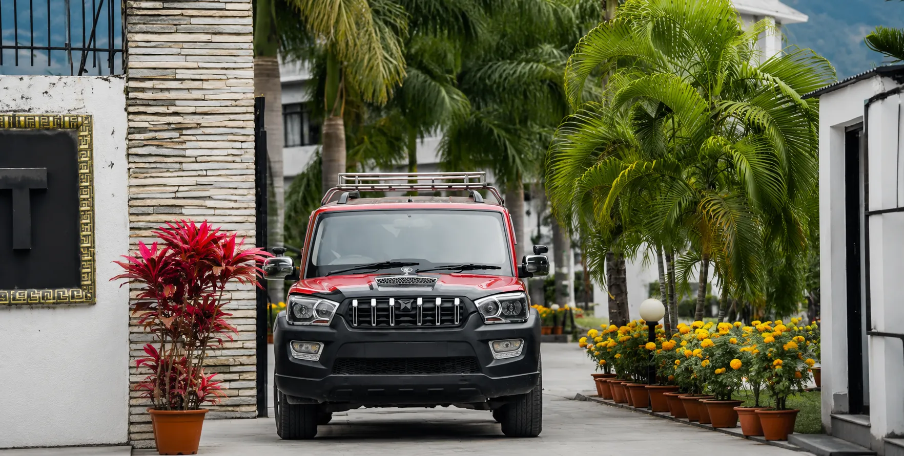
A Typical Itinerary Using This Extended Route
A common itinerary for trekkers choosing this overland approach begins with the drive from Kathmandu to Salleri or Phaplu, typically requiring a full day or an overnight stop given the distance involved, followed by a second day continuing along the rougher, more recently constructed road toward Thamdanda and as far toward Surke as current conditions allow. From this point, trekkers complete the remaining walk to join the main trail near Chaurikharka, continuing on to Lukla itself or directly onward toward Namche Bazaar depending on their specific itinerary and acclimatization schedule. This combined road and short trekking approach typically adds two to three days to an itinerary compared to flying directly into Lukla, but removes the schedule uncertainty associated with Lukla flight delays entirely.
Weather Patterns Affecting This Corridor
The lower Solukhumbu region through which this road passes experiences a genuinely different weather pattern than the higher Khumbu region further up the standard trekking trail, with more monsoon-influenced rainfall and denser forest cover typical of the mid-hill elevations this corridor traverses before climbing toward the higher, more exposed terrain near Lukla and Namche Bazaar. This means road conditions along the Phaplu-to-Surke stretch are particularly sensitive to monsoon-season rainfall, with landslide risk considerably higher during and immediately after the main monsoon months compared to the drier, more stable conditions typical of the peak autumn and spring trekking seasons.
Local Communities Along the Route
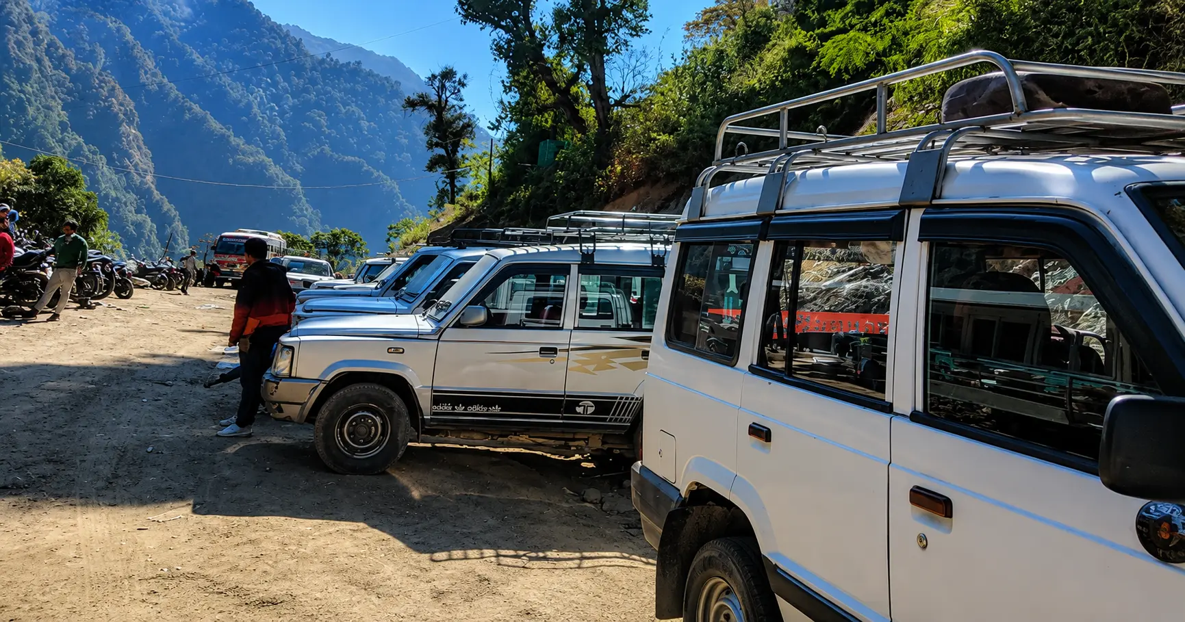
The villages along this extended corridor, including Salleri, Phaplu, and the smaller settlements toward Thamdanda and Surke, are home to a genuinely mixed population reflecting lower Solukhumbu’s more ethnically diverse character compared to the more uniformly Sherpa communities found in the higher Khumbu villages further up the trail. Rai and Chhetri communities form a significant part of the population in these lower villages, alongside Sherpa residents, giving trekkers using this overland route a somewhat different cultural cross-section than those flying directly into the more purely Sherpa cultural landscape of Lukla and Namche Bazaar.
Why Trekkers Increasingly Choose This Overland Approach
Beyond simply avoiding Lukla flight risk, a growing number of trekkers choose this overland approach specifically for the additional cultural and scenic exposure it offers compared to flying directly into the high Khumbu region. The drive and short trek through lower Solukhumbu offer a genuinely different landscape and cultural setting than the higher trail sections most trekkers experience, providing a more gradual, immersive introduction to the broader Everest region rather than the more abrupt transition of a direct Lukla flight. This has made the route appealing not only to risk-averse trekkers but also to those specifically seeking a richer, more complete regional experience.
Health and Altitude Considerations for This Approach
One genuine advantage of this overland route lies in its gradual elevation gain compared to flying directly into Lukla’s 2,860 metres. Trekkers driving from Kathmandu’s roughly 1,400 metres through Salleri and Phaplu, both at considerably lower elevations, before continuing on foot toward the higher trail sections, experience a more gradual acclimatisation profile than those who fly directly into Lukla and begin trekking immediately at a considerably higher starting elevation. Some trekkers and guides consider this gradual approach genuinely beneficial for altitude acclimatization, complementing the standard rest days built into most Everest Base Camp itineraries.
Guides and Local Knowledge for This Route
Given the more variable and continually evolving nature of road conditions found beyond Phaplu toward both Thamdanda and Surke, working closely with a guide or vehicle operator who maintains current, up-to-date knowledge of the exact drivable endpoint is particularly valuable for this specific route, more so than on well-established, unchanging highway corridors elsewhere in Nepal. Local drivers who regularly travel this corridor typically have the most accurate, current information regarding road status, since conditions can change meaningfully between individual trips depending on recent weather and ongoing construction activity.
Combining This Route With a Broader Solukhumbu Exploration
Trekkers with additional time sometimes use this extended overland approach as an opportunity to explore lower Solukhumbu more broadly, rather than treating the drive purely as a transit journey toward the main Everest trail. Salleri’s role as district headquarters, Phaplu’s historic hospital and airstrip, and the general cultural landscape of the lower Solu region all offer worthwhile points of interest for trekkers willing to build additional time into their itinerary beyond the minimum required to reach Surke and join the main trekking trail.
What to Pack for This Journey
- Warm, layered clothing given the range of elevations and temperatures encountered across the drive and subsequent trek.
- Sturdy footwear for the walking sections between the road’s current endpoint and the main Everest trail near Chaurikharka.
- A flexible itinerary buffer, given the more variable nature of road conditions on this evolving corridor compared to established highway routes.
- Cash in Nepali rupees, since card payment infrastructure remains limited throughout this rural corridor.
- Basic first aid supplies and any personal medication needed for the trekking portion of the journey.
Why Choose Nepal Vehicle Hiring for This Route
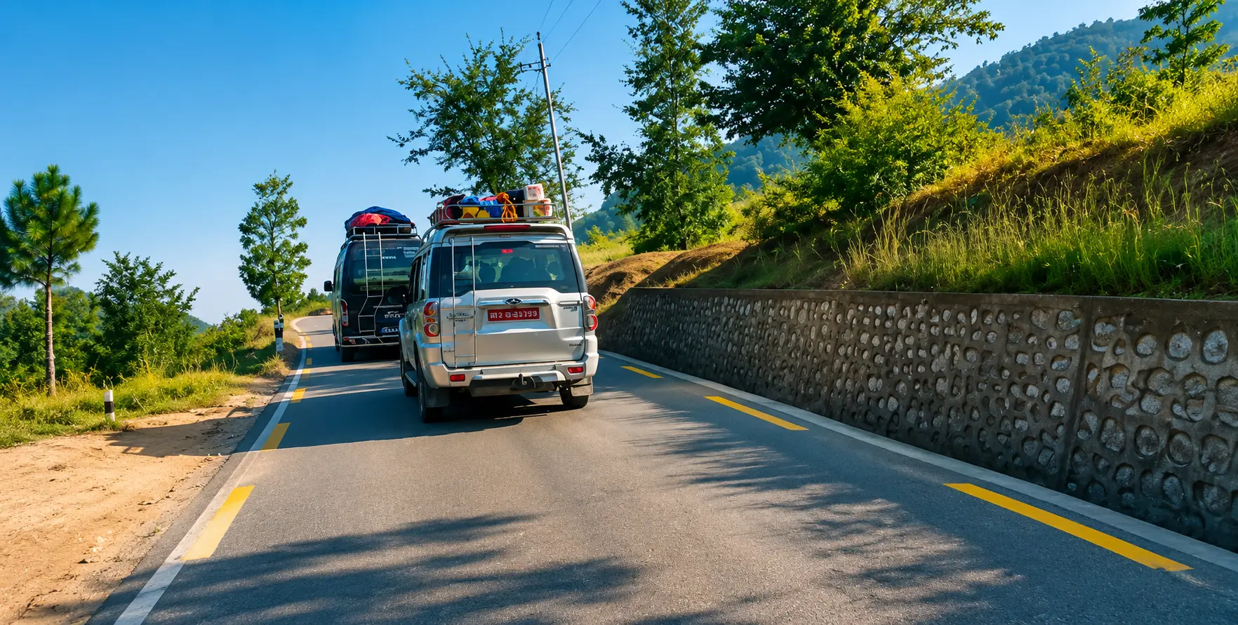
Nepal Vehicle Hiring has arranged transport along the Kathmandu to Salleri and Phaplu corridor for years, and our team maintains ongoing contact with drivers regularly working the extended sections toward Thamdanda and Surke, giving us genuinely current knowledge of road conditions rather than relying on outdated information. Our drivers assigned to this corridor are selected specifically for their experience navigating both the established highway sections and the rougher, evolving stretches beyond Phaplu, and we work directly with trekking groups to confirm realistic expectations regarding exactly how far the road allows travel on any given trip, since this genuinely does shift between seasons.
Coordinating With Trekking Agencies for This Route
Given the evolving nature of road access on this corridor, close coordination between ground transport providers and trekking agencies planning Everest region itineraries is particularly valuable for this specific route. Trekking agencies benefit from working with a vehicle provider who can confirm current road status close to a group’s actual departure date, allowing itinerary adjustments if the road has become more or less passable than assumed during initial trip planning months in advance. Our team works directly with trekking agencies, including our sister companies, to provide this kind of current, reliable route information supporting accurate Everest region itinerary planning.
The Broader Context of Nepal’s Rural Road Expansion
The extension of drivable access from Phaplu toward Thamdanda and Surke reflects a broader pattern of rural road construction occurring across many of Nepal’s trekking regions, similarly discussed in our guides to the changing roadhead at
Machha Khola on the Manaslu Circuit approach, and the historical development of the
Tribhuvan Highway connecting Kathmandu to Hetauda. This pattern of steadily extending rural road networks continues to reshape how trekkers access some of Nepal’s most significant mountain regions, generally compressing walking distances and reducing dependence on weather-sensitive domestic flights, though it often introduces new considerations around road quality and reliability on newly constructed sections.
Seasonal Booking Patterns for This Corridor
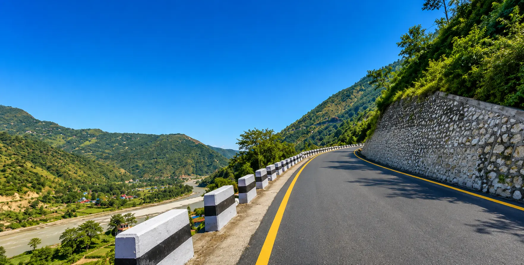
Demand for vehicle hire along this corridor follows Everest region trekking’s broader seasonal pattern, with autumn representing the peak booking period, followed by spring. Given the corridor’s dual role serving both established highway sections and the more variable extended road toward Surke, booking well in advance during peak season, while also confirming current road conditions closer to the actual travel date, offers the best combination of availability and route accuracy for trekkers planning this specific journey.
A Note on Realistic Expectations for This Route
Trekkers considering this overland approach should understand that, unlike the well-established Kathmandu-to-Phaplu highway sections, the extended road toward Thamdanda and Surke remains a genuinely evolving piece of infrastructure, and the exact distance drivable on any given trip should be treated as subject to change rather than a fixed, guaranteed endpoint. Approaching this journey with appropriate flexibility, and working with a vehicle provider who communicates honestly about current conditions rather than overpromising a specific drivable distance, leads to a considerably smoother overall experience than assuming a fixed, guaranteed route based on outdated trip reports.
Combining This Route With a Kathmandu Valley Stay
Most trekkers using this overland approach begin their trip with at least a day or two in Kathmandu, both for final trekking preparation and general acclimatisation before departure. Our
Kathmandu sightseeing tour and
Bhaktapur Durbar Square tour services pair naturally with this time before departure, while a reliable
Kathmandu airport transfer ensures a smooth arrival before the demanding overland journey toward Solukhumbu begins.
Insurance and Emergency Considerations
Given the genuinely more remote and continually evolving nature of the road beyond Phaplu specifically, comprehensive travel insurance covering trekking activities and, if relevant, emergency evacuation, remains important for this route, as it does for any Everest region trekking approach. Emergency response along the extended road sections toward Thamdanda and Surke may be less immediately available than along the well-established Kathmandu-to-Phaplu highway, and trekkers should discuss realistic emergency response expectations with their guide or vehicle provider before departure.
The Growing Appeal Among Repeat Everest Region Visitors
Trekkers who have previously visited the Everest region by flying into Lukla sometimes specifically choose this overland approach on a return visit, drawn by the novelty of a different route and the additional cultural exposure to lower Solukhumbu that a Lukla flight simply does not offer. This has made the Salleri, Phaplu, Thamdanda, and Surke corridor an increasingly popular choice not only among first-time trekkers seeking to avoid flight risk, but also among experienced repeat visitors specifically seeking a different way to experience a region they may already know well from previous trips.
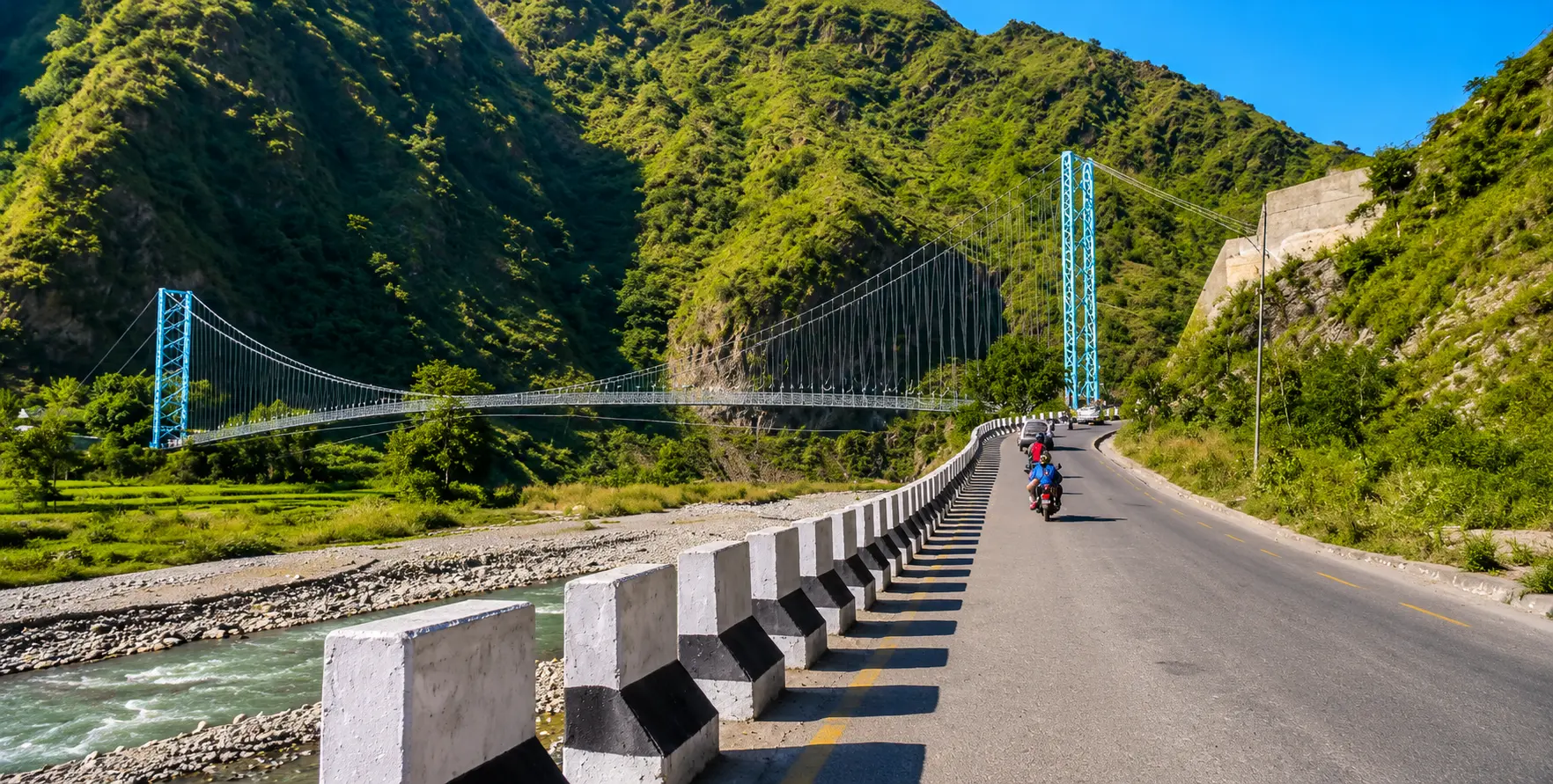
Photography and Scenic Highlights Along This Route
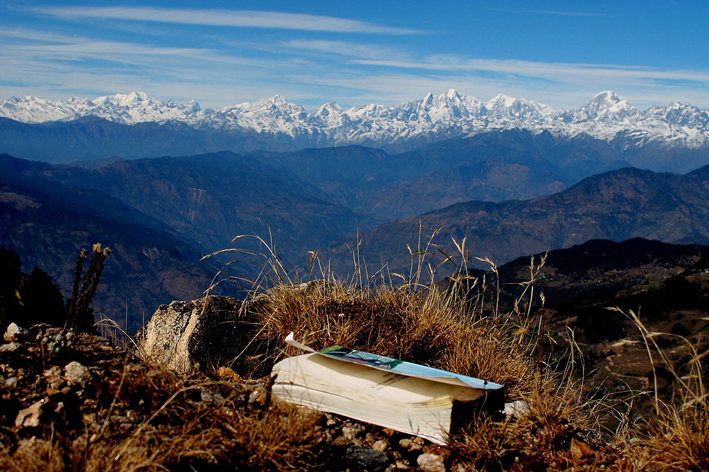
The drive and subsequent trek along this corridor offers a genuinely varied range of scenery, from the terraced hillside agriculture and forested slopes typical of Nepal’s central hill region near Kathmandu, through to the increasingly dramatic mountain terrain as the route approaches Solukhumbu and the first glimpses of high Himalayan peaks become visible on clear days. The gradual transition in landscape character across this multi-day journey offers photography opportunities considerably different from the more abrupt shift experienced by trekkers flying directly into Lukla’s high-altitude airstrip.
Local Food and Accommodation Along the Way
Both Salleri and Phaplu together offer genuinely reasonable accommodation and food options reflecting their established role as a regional hub and trekking gateway, with dal bhat widely available alongside a modest range of other options. Accommodation and food options become progressively more basic along the newer road sections toward Thamdanda and Surke, reflecting the more recent and less developed tourism infrastructure in these smaller settlements compared to the more established facilities in Salleri and Phaplu themselves.
Group Size Considerations for This Route
Given the genuinely variable road conditions found on the extended sections beyond Phaplu specifically, larger trekking groups should plan for the possibility of splitting across multiple vehicles if the current road endpoint requires a rougher, smaller-capacity jeep rather than a larger vehicle suited to the established highway sections closer to Kathmandu. Discussing group size and luggage requirements with your vehicle provider during initial booking allows more accurate planning around this potential need to transfer between vehicle types partway through the journey.
A Comparison of Total Journey Time Across Different Approaches
Trekkers weighing their options for reaching the Everest region can expect roughly the following total journey times from Kathmandu to the start of the main trekking trail: a direct Lukla flight typically takes under an hour of actual flying time, though total time including airport procedures and potential weather delays can vary considerably; the full Jiri approach typically requires six to eight days of trekking after an initial day’s drive to Jiri itself; and the Salleri, Phaplu, Thamdanda, and Surke overland approach typically requires two to three days of combined driving and short trekking to reach the same starting point near Chaurikharka, positioning this route as a genuine middle ground between the speed of flying and the extended duration of the full historical Jiri trek.
Why This Route Appeals to Budget-Conscious Trekkers
Beyond weather reliability alone, cost also drives many trekkers toward this overland approach, since ground transport for this corridor is generally more affordable than the combined cost of round-trip Lukla flights, particularly for larger groups able to share vehicle costs across multiple trekkers. This cost advantage, combined with the flight-risk avoidance already discussed, has made the overland route an increasingly attractive option for trekkers balancing budget considerations against their available trip time.
Environmental Considerations of Overland Versus Flight Access
Some environmentally conscious trekkers specifically choose the overland route over flying, given the generally lower per-passenger emissions associated with shared ground transport compared to short-haul mountain flights, though this environmental calculation depends considerably on vehicle occupancy and the total distance driven versus flown. Trekkers with a specific interest in minimizing their trip’s environmental footprint may find this consideration worth weighing alongside the other practical factors already discussed when choosing between flying and this overland approach.
Final Practical Tips Before You Go
- Confirm current road conditions toward Thamdanda and Surke with your vehicle operator close to your actual travel dates, given how frequently this can change.
- Book your vehicle at least two to three weeks ahead during the peak spring and autumn seasons.
- Build flexibility into your itinerary given the more variable nature of this evolving road corridor compared to established highway routes.
- Pack for a genuine range of temperatures and conditions across the multi-day journey from Kathmandu through to the higher trekking trail.
- Consider combining this route with additional exploration of lower Solukhumbu if your schedule allows.
A Sample Cost Breakdown for Planning Purposes
While exact pricing depends on vehicle class, group size, and current road conditions, travelers can generally expect the ground transport component of this journey to scale with total distance and driving days involved, similar to other extended trekking transport routes covered throughout our guides. Groups able to reach further toward Surke before transitioning to foot travel generally see a modestly higher transport cost reflecting the additional driving distance, offset by a correspondingly shorter and less physically demanding remaining trek to reach the main trail, a trade-off worth discussing directly with your vehicle provider when planning your specific budget.
Combining This Journey With Broader Sister Company Trekking Packages
Trekkers using this overland approach to reach the Everest region typically continue on to complete a full trekking itinerary through our sister company, Alpine Luxury Treks, whether the standard
Everest Base Camp Trek, the more premium
Everest Base Camp Luxury Lodge Trek, or an extended itinerary incorporating the
Gokyo Lakes or full
Three Passes circuit. Coordinating the overland ground transport and the trekking itinerary itself through a single point of contact, spanning both Nepal Vehicle Hiring and our sister trekking company, ensures a consistent, well-planned experience across the entire journey from Kathmandu to Everest Base Camp and back.
A Closing Perspective on This Evolving Route
The Salleri, Phaplu, Thamdanda, and Surke corridor represents Nepal’s trekking infrastructure in genuine, active transition, a road network still extending year by year into terrain that not long ago was accessible only on foot. For trekkers willing to accept a degree of route uncertainty in exchange for weather-independent scheduling, a potentially lower overall cost, and a richer cultural introduction to lower Solukhumbu, this overland approach offers a genuinely compelling alternative to the Lukla flight that has defined most visitors’ Everest region experience for decades.
Additional Frequently Asked Questions
Is this route suitable for first-time trekkers to Nepal?
Yes, though first-time trekkers should discuss realistic expectations regarding road variability and the remaining walking distance with their trekking agency or vehicle provider, given the less predictable nature of this route compared to established, unchanging routes elsewhere in Nepal.
How does road quality compare between Kathmandu-Phaplu and Phaplu-Surke sections?
The Kathmandu-to-Phaplu section follows a considerably more established highway route, while the Phaplu-to-Surke stretch remains rougher and more variable given its more recent, ongoing construction.
Can this route be used for the return journey as well as the approach?
Yes. Many trekkers use this overland route for both directions, though some choose to fly out from Lukla on the return leg to save time after completing their trek, using the overland approach only for the outbound journey.
What happens if the road is impassable beyond a certain point on my trip?
Your driver will confirm the furthest safely drivable point on the day itself, and any remaining distance to reach the main trekking trail is covered on foot, an outcome your vehicle provider should communicate clearly rather than presenting a fixed endpoint as guaranteed.
Is a guide required for this specific approach route?
While a guide is not strictly mandatory for this lower Solukhumbu approach itself, most trekkers travel with a guide for the onward Everest Base Camp Trek regardless of which approach route they use to reach the main trail.
One Final Word for Prospective Trekkers
If you are weighing this overland approach against a direct Lukla flight, consider your own priorities carefully: those with a fixed, non-negotiable return date may still prefer the speed of flying despite its weather-related risk, while those with greater schedule flexibility, a preference for avoiding mountain flights, or a specific interest in experiencing lower Solukhumbu’s distinct cultural landscape will likely find the Salleri, Phaplu, Thamdanda, and Surke corridor a genuinely rewarding way to begin their journey toward Everest.
How Nepal Vehicle Hiring Supports This Specific Route
Coordinating transport along an evolving, less predictable corridor like this one requires a genuinely different operational approach compared to managing bookings on Nepal’s more established, unchanging highway routes. Our team maintains ongoing communication with drivers regularly working the Phaplu-to-Surke stretch specifically, allowing us to provide trekkers and trekking agencies with current, accurate information about road status rather than relying on assumptions based on previous seasons. This ongoing local knowledge, built through years of coordinating transport along this exact corridor, forms the foundation of the guidance we provide to travelers planning this particular route into the Everest region.
The Role of This Route in Nepal’s Broader Trekking Infrastructure Evolution
This corridor’s continued development sits alongside similar road extension patterns seen elsewhere in Nepal, from the changing Manaslu Circuit roadhead at Machha Khola to the historical development of highway infrastructure connecting Kathmandu to destinations throughout the country. Together, these evolving road networks reflect Nepal’s ongoing infrastructure development story, gradually extending motorized access into terrain that trekkers a generation ago could only reach on foot, and reshaping trekking logistics across nearly every major region of the country as a result.
Supporting Trekking Agencies With Current Route Information
Trekking agencies planning Everest region itineraries via this overland approach benefit considerably from an established relationship with a ground transport provider who can supply current, reliable road status information during the trip planning process, months before a group’s actual departure date. This kind of ongoing collaborative relationship between trekking agencies and vehicle hire providers helps ensure itineraries are planned realistically from the outset, rather than requiring last-minute adjustments discovered only once a trekking group has already arrived in Nepal and begun their journey toward Solukhumbu.
Looking Ahead: The Continued Extension of This Road Corridor
Given the pace of road construction already seen along this corridor over recent years, further extension beyond Surke toward Chaurikharka itself, or even closer to Lukla, remains a genuine possibility in the years ahead, following the same incremental pattern that has already brought drivable access this far. Trekkers and trekking agencies alike continue to monitor this ongoing development closely, since further extension would likely compress the remaining walking distance even further, continuing the gradual transformation of how travelers access the Everest region that this guide has traced throughout.
A Final Summary of Key Considerations
Bringing together everything covered in this guide, trekkers considering the Salleri, Phaplu, Thamdanda, and Surke overland approach to the Everest region should weigh the genuine trade-offs involved: a longer overall journey compared to flying, offset by considerably greater schedule reliability and, for many travelers, a lower total cost and a richer cultural introduction to lower Solukhumbu. The exact drivable distance on any given trip remains subject to change given the evolving nature of the road beyond Phaplu, making flexibility and current, accurate route information from an experienced local vehicle provider essential rather than optional for planning this specific journey with confidence.
Thank You for Reading
We hope this guide has provided a clear, genuinely useful overview of this changing overland route into the Everest region, and we look forward to helping arrange your own journey toward Salleri, Phaplu, Thamdanda, and Surke, whatever combination of driving and trekking your own itinerary ultimately involves.
Combining Ground Transport With Nepal’s Wider Vehicle Hiring Network
Beyond this specific Solukhumbu corridor, Nepal Vehicle Hiring supports travelers across nearly every major route in the country, from
Kathmandu to Besisahar for Annapurna region trekking, to
Kathmandu to Lumbini, alongside our full
Hiace hire, and
Coaster and Bus hire fleet, all coordinated through the same trusted local team supporting your Everest region ground transport.
A Note on Booking Flexibility for This Evolving Route
Given everything discussed throughout this guide regarding the variable nature of road conditions beyond Phaplu, we recommend travelers approach booking for this specific route with a degree of flexibility not always necessary on Nepal’s more established, unchanging highway corridors. Confirming your itinerary broadly, while remaining open to adjusting the exact drivable endpoint based on current conditions confirmed closer to your actual travel date, leads to a considerably smoother overall experience than insisting on a fixed, guaranteed distance regardless of what conditions the road actually presents on the day of travel itself.
Cultural Etiquette Along the Lower Solukhumbu Route
Trekkers passing through the mixed Rai, Chhetri, and Sherpa communities along this corridor should approach local villages with the same respect and cultural sensitivity expected throughout Nepal’s trekking regions, including modest dress, requesting permission before photographing individuals, and general courtesy toward the communities whose homeland this road and trail pass through. This lower Solukhumbu cultural landscape, while less visited than the higher Khumbu villages further up the trail, holds its own genuine significance and deserves the same respectful engagement afforded to any community along Nepal’s trekking routes.
Wishing You a Smooth and Reliable Journey
Whether you choose this evolving overland route specifically to avoid Lukla’s flight-related uncertainty, to explore lower Solukhumbu’s distinct cultural landscape, or simply because it fits your available budget and schedule better than the alternatives, we wish you a safe, smooth journey toward Salleri, Phaplu, Thamdanda, and Surke, and an unforgettable trek beyond it toward the roof of the world.
A Practical Reminder Before You Book
As a final practical reminder, always request the most current road status directly from your chosen vehicle provider before finalizing travel dates, particularly if traveling during or shortly after the monsoon season when conditions on the newer road sections beyond Phaplu are most likely to have changed since your initial research.
Closing Summary
This guide has covered the geography, history, road conditions, permits, seasonal considerations, and practical booking guidance for the Salleri, Phaplu, Thamdanda, and Surke overland approach to the Everest region, offering a genuinely useful alternative for trekkers seeking to avoid Lukla’s flight-related risk while still reaching the main Everest trekking trail within a reasonable, well-planned timeframe.
Safe, smooth, and genuinely pleasant travels to you and your whole trekking group, and we sincerely look forward to very warmly welcoming your entire trekking party back to Nepal again very soon indeed.
- Private Jeep Hire for Salleri, Phaplu, Thamdanda, and Surke
- Where Are Salleri, Phaplu, Thamdanda, and Surke
- The Journey From Kathmandu
- Why This Extended Route Matters
- Vehicle Options for This Route
- Phaplu's Airstrip as an Alternative to Lukla
- Trekking From Surke to the Main Everest Trail
- Comparing the Overland Route to Flying Into Lukla
- Comparing This Route to the Classic Jiri Approach
- Permits Required for This Route
- Best Time of Year for This Route
- Road Safety on This Extended Corridor
- Combining This Route With the Full Everest Base Camp Trek
- Cost Factors for This Route
- How to Book Your Transport
- Related Guides for Planning Your Everest Region Journey
- Frequently Asked Questions
- Final Thoughts: Nepal's Quietly Changing Everest Gateway
- The History of Road Development in Lower Solukhumbu
- Salleri: The District Headquarters
- Phaplu in Greater Detail
- Thamdanda and the Newer Road Sections
- Surke and Its Proximity to the Main Trekking Trail
- A Typical Itinerary Using This Extended Route
- Weather Patterns Affecting This Corridor
- Local Communities Along the Route
- Why Trekkers Increasingly Choose This Overland Approach
- Health and Altitude Considerations for This Approach
- Guides and Local Knowledge for This Route
- Combining This Route With a Broader Solukhumbu Exploration
- What to Pack for This Journey
- Why Choose Nepal Vehicle Hiring for This Route
- Coordinating With Trekking Agencies for This Route
- The Broader Context of Nepal's Rural Road Expansion
- Seasonal Booking Patterns for This Corridor
- A Note on Realistic Expectations for This Route
- Combining This Route With a Kathmandu Valley Stay
- Insurance and Emergency Considerations
- The Growing Appeal Among Repeat Everest Region Visitors
- Photography and Scenic Highlights Along This Route
- Local Food and Accommodation Along the Way
- Group Size Considerations for This Route
- A Comparison of Total Journey Time Across Different Approaches
- Why This Route Appeals to Budget-Conscious Trekkers
- Environmental Considerations of Overland Versus Flight Access
- Final Practical Tips Before You Go
- A Sample Cost Breakdown for Planning Purposes
- Combining This Journey With Broader Sister Company Trekking Packages
- A Closing Perspective on This Evolving Route
- Additional Frequently Asked Questions
- One Final Word for Prospective Trekkers
- How Nepal Vehicle Hiring Supports This Specific Route
- The Role of This Route in Nepal's Broader Trekking Infrastructure Evolution
- Supporting Trekking Agencies With Current Route Information
- Looking Ahead: The Continued Extension of This Road Corridor
- A Final Summary of Key Considerations
- Thank You for Reading
- Combining Ground Transport With Nepal's Wider Vehicle Hiring Network
- A Note on Booking Flexibility for This Evolving Route
- Cultural Etiquette Along the Lower Solukhumbu Route
- Wishing You a Smooth and Reliable Journey
- A Practical Reminder Before You Book
- Closing Summary

Related Blog & Articles
Kathmandu to Salleri & Phaplu Jeep Price 2026–2027
Kathmandu to Phaplu Vehicle Guide 2026
Airport to Trek Starting Point Transfer Nepal
Kathmandu to Lukla Road Route Transfer