Plan a Trip


Kathmandu to Kakarbhitta Border Transport

Kathmandu to Kakarbhitta Border Transport
At the far eastern tip of Nepal, where the Mechi River marks the international boundary with India’s West Bengal state, lies Kakarbhitta — the most important land border crossing in eastern Nepal and one of the busiest gateways on the entire Indo-Nepal frontier. For travelers heading toward Darjeeling’s tea gardens, Sikkim’s Himalayan monasteries, the kingdom of Bhutan, or simply continuing an overland journey deeper into India, Kakarbhitta is the threshold through which this entire corner of the eastern Himalayan world becomes accessible.
The journey from Kathmandu to Kakarbhitta is, by Nepali standards, a genuinely long one — approximately 432 to 457 kilometers depending on the route chosen, crossing from the hill country of the Kathmandu Valley down through the Terai plains to Nepal’s far southeastern corner. It is a journey that can be completed in a single demanding day or comfortably split across two days, by overnight tourist bus, by private vehicle, or — for those who value their time above all else — by a 50-minute domestic flight to nearby Bhadrapur Airport.
This is one of the longest and most detailed transport guides in our entire series, and deliberately so: the Kathmandu to Kakarbhitta corridor involves real route decisions, genuine trade-offs between speed and comfort, an international border crossing with its own particular procedures, and onward connections into some of the most spectacular corners of the eastern Himalaya — Darjeeling, Kalimpong, Gangtok, and beyond to Bhutan.
This complete 2026 guide covers every dimension of the journey: the two main route options, all transport choices and their 2026 costs, a full stop-by-stop route breakdown, the Panitanki border crossing experience, onward connections into India and beyond, recommended multi-day itineraries, required documentation, and why Nepal Vehicle Hiring Pvt Ltd is the right transport partner for this substantial cross-country journey.
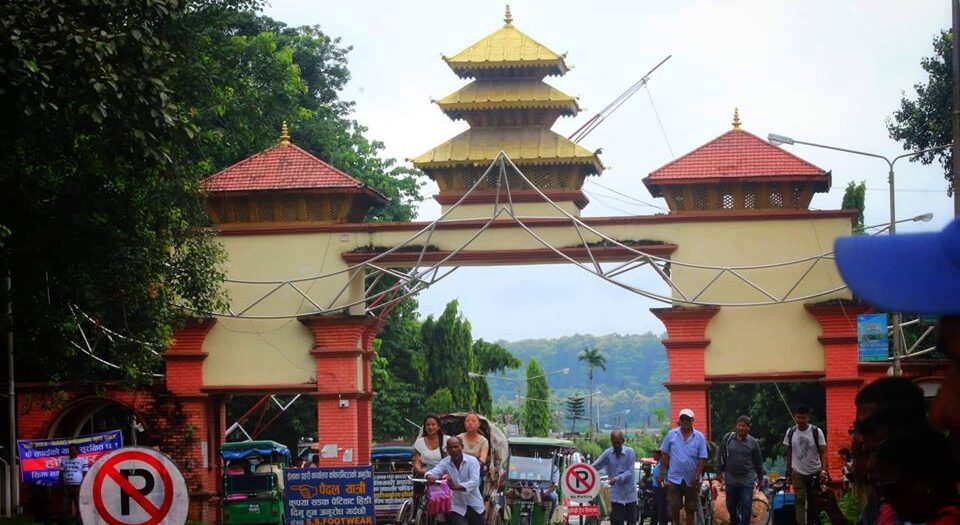
Kakarbhitta — Nepal’s Gateway to the Eastern Himalaya
Kakarbhitta (also spelled Kakarvitta or Kakadvitta) is a bustling border town in Jhapa District, at the easternmost edge of Nepal’s Koshi Province. Geographically, it sits at the point where Nepal’s flat Terai plains finally give way to the Indian state of West Bengal — and from this single crossing point, an entire region of extraordinary diversity opens up: the tea estates and colonial hill stations of Darjeeling, the Buddhist monasteries and high mountain landscapes of Sikkim, the dense forests of North Bengal, and ultimately the gateway into the Kingdom of Bhutan.
For decades, Kakarbhitta has functioned as Nepal’s principal overland connection to Northeast India and beyond. Long before any domestic airport existed in eastern Nepal, traders, pilgrims, and travelers crossed here on foot and by bullock cart between the hill kingdoms of Nepal and Sikkim and the British colonial tea plantations of Darjeeling. Today, the crossing retains this historic role as the primary corridor linking Nepal’s eastern region with the rest of the eastern Himalayan world — carrying everyday cross-border trade, Nepali workers commuting to and from jobs in India, Indian tourists visiting Nepal’s eastern destinations, and a steady stream of international backpackers threading together a multi-country Himalayan itinerary that takes in Nepal, Darjeeling, Sikkim, and Bhutan in a single overland circuit.
Why Travelers Make This Journey
- Onward travel to Darjeeling: The historic British hill station and India’s most celebrated tea-growing region, just 95 km from Kakarbhitta.
- Onward travel to Sikkim: The Himalayan Buddhist state of Gangtok, Pelling, and Yumthang Valley, reached via Siliguri and Rangpo.o
- Onward travel to Bhutan: Many overland travelers combine Nepal and Bhutan in a single trip, crossing through Kakarbhitta-Siliguri-Jaigaon to reach Phuentsholing
- Cross-border trade: Significant volumes of everyday commercial trade flow through Kakarbhitta between eastern Nepal and West Bengal
- Connecting to Northeast India: For travelers continuing further east into Assam, Meghalaya, and beyond
- Visiting eastern Nepal: Travelers based in Kathmandu or Pokhara visiting Jhapa, Ilam (Nepal’s famous tea district), and Koshi Tappu Wildlife Reserve sometimes combine this with a Kakarbhitta border stop
Key Facts at a Glance — Kathmandu to Kakarbhitta 2026
| Route Detail | Information |
| Total Road Distance | 432–457 km (Kathmandu to Kakarbhitta, depending on route) |
| Kakarbhitta Location | Jhapa District, Koshi Province — far southeastern Nepal |
| Border Town (India side) | Panitanki, West Bengal — separated by the Mechi River bridge |
| Travel Time by Private Vehicle (1 day) | 10 to 13 hours — long single-day drive |
| Travel Time by Private Vehicle (2 days) | 6–7 hrs Day 1 + 5–6 hrs Day 2 — recommended with overnight stop |
| Travel Time by Tourist Bus | 13.5 to 16 hours (overnight bus, multiple rest stops) |
| Flight Option | Kathmandu (TIA) to Bhadrapur Airport (BDP) — 50 min to 1 hr 15 min |
| Flight Cost (2026) | USD 120–180 per person, one way |
| Recommended Route | Kathmandu → BP Highway → Bardibas → East-West (Mahendra) Highway → Itahari → Birtamod → Kakarbhitta |
| Alternative Route | Kathmandu → Mugling → Narayanghat → Hetauda → East-West Highway → Itahari → Kakarbhitta |
| Road Type | Mixed — hill roads (BP Highway/Mugling) + flat Terai plains (East-West Highway) |
| 4WD Required? | No — fully paved roads throughout; standard sedan, jeep, or van all suitable |
| Bridge to India | Mechi Bridge — connects Kakarbhitta (Nepal) to Panitanki (India) |
| Onward India Connections | Siliguri (~22 km), Darjeeling, Kalimpong, Gangtok (Sikkim), Phuentsholing (Bhutan) |
This is a Genuinely Long Journey: At 432-457 km, the Kathmandu-Kakarbhitta drive is among the longest single domestic routes commonly traveled in Nepal. Unlike shorter mountain transfers, this journey deserves careful planning — either as a single very long driving day with an early start, or, as Nepal Vehicle Hiring Pvt Ltd generally recommends, split comfortably across two days with an overnight stop in the Itahari or Dharan area.
Two Route Options — Which Road to Take
There are two principal road routes connecting Kathmandu to Kakarbhitta, and the choice between them significantly affects both journey time and the character of the drive.
Route 1 — The BP Highway Route (Recommended, Faster)
The BP Highway (formerly B.P. Koirala Highway, also known as the Sindhuli Road) connects Kathmandu directly to the Terai plains at Bardibas, bypassing the older and more circuitous route through Mugling and Narayanghat entirely. From Bardibas, the journey joins the East-West Highway (Mahendra Highway) — Nepal’s principal Terai artery — and proceeds east through Lahan, Itahari, and Birtamod to Kakarbhitta.
This route is now generally the faster and more direct option for eastbound Terai travel from Kathmandu, having significantly reduced journey times since its completion compared to the older route via Narayanghat. The BP Highway itself, however, crosses genuine hill terrain through Sindhuli District — a winding, scenic, but slower-paced road before it descends to the flat Terai plains at Bardibas, after which the drive becomes fast, straight, and comfortable for the long eastward stretch.
- Total distance: Approximately 432 to 445 km
- Character: Hill road (Kathmandu to Bardibas) + flat Terai highway (Bardibas to Kakarbhitta)
- Recommended for: Most travelers — generally the faster overall option in 2026
Route 2 — The Traditional Route via Mugling and Narayanghat
The older, traditional route follows the Prithvi Highway from Kathmandu to Mug. The Narayangadh-Mugling road south to Narayanghat (Bharatpur), continuing via Hetauda before joining the East-West Highway and proceeding the long distance east through Itahari to Kakarbhitta. This route is longer overall and was historically the only paved option before the BP Highway’s completion.
- Total distance: Approximately 450 to 485 km, depending on the exact path through Hetauda or alternative connectors
- Character: More familiar route to most Nepali drivers; passes through Chitwan region
- Recommended for: Travelers wanting to combine the journey with a stop in Chitwan National Park along the way
Nepal Vehicle Hiring Pvt Ltd’s Recommendation: For most travelers, the BP Highway route via Bardibas is the faster and generally preferred option in 2026. However, if you wish to break the journey with a stop at Chitwan National Park (an excellent option for a 3-day itinerary), the traditional route via Narayanghat naturally accommodates this detour.
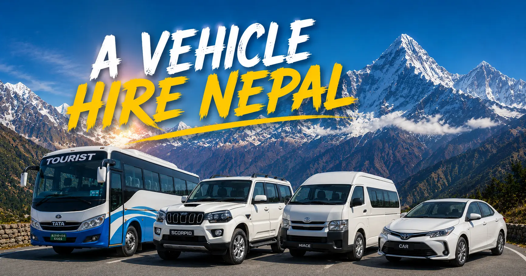
All Transport Options — Kathmandu to Kakarbhitta 2026
| Transport Option | Capacity | 2026 Cost | Travel Time | Best For |
| Private Sedan Car | 1–3 passengers | NPR 35,000–48,000 / USD 260–360 | 10–13 hrs (1 day) or split over 2 days | Small groups wanting flexibility + comfort |
| Private Jeep (Scorpio/Hilux) | 4–6 passengers | NPR 45,000–62,000 / USD 340–465 | 10–13 hrs (1 day) or split over 2 days | Families, groups with luggage |
| Private Hiace Van | 7–14 passengers | NPR 55,000–75,000 / USD 415–565 | 11–14 hrs (1 day) or split over 2 days | Larger groups, tour parties, trade delegations |
| Tourist Sofa/Deluxe Bus | 25–45 passengers | NPR 1,600–2,000 per person | 13.5–16 hrs (overnight) | Budget solo/group travelers |
| Local Night Bus | Many passengers | NPR 900–1,400 per person | 15–22 hrs (with transfers) | Tightest budget — slow, multiple stops |
| Domestic Flight (KTM–Bhadrapur) | Per seat | USD 120–180 per person | 50 min–1 hr 15 min flight | Fastest option — then a short transfer to the border |
| Flight + Private Transfer Combo | Per seat + full vehicle | USD 120–180 + NPR 2,000–3,500 (Bhadrapur–Kakarbhitta) | 2 hours total | Best combination of speed and comfort |
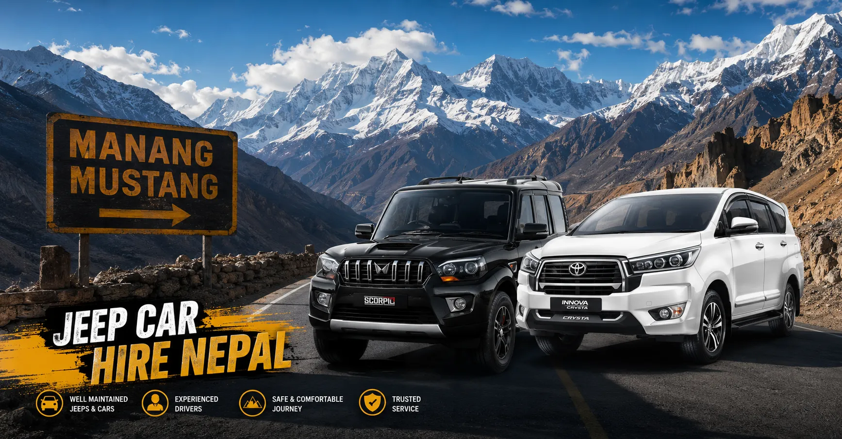
Private Vehicle — Maximum Comfort and Flexibility
Given the substantial distance involved, a private vehicle hire from Nepal Vehicle Hiring Pvt Ltd is the recommended option for travelers who value comfort, flexibility, and the ability to break the journey at will. A private sedan, jeep, or Hiace van allows complete control over departure time, rest stops, meal breaks, and — critically for a journey of this length — the decision whether to drive through in one very long day or split comfortably across two with an overnight stop.
- Private sedan (1–3 passengers): NPR 35,000–48,000 (USD 260–360) for the full one-way journey
- Private jeep (4–6 passengers): NPR 45,000–62,000 (USD 340–465) for the full one-way journey
- Private Hiace van (7–14 passengers): NPR 55,000–75,000 (USD 415–565) for the full one-way journey
- Includes: Driver, fuel, all road tolls — all-inclusive pricing from Nepal Vehicle Hiring Pvt Ltd
- Two-day package (with driver overnight): Add approximately NPR 5,000–6,000 for driver accommodation if splitting the journey
Per-Person Value for Groups: For a group of 6 sharing a private Hiace van at NPR 65,000 total, the per-person cost is approximately NPR 10,830 (USD 82) — for a fully private, flexible, door-to-door journey across nearly the entire length of Nepal, with complete control over stops, pace, and timing.
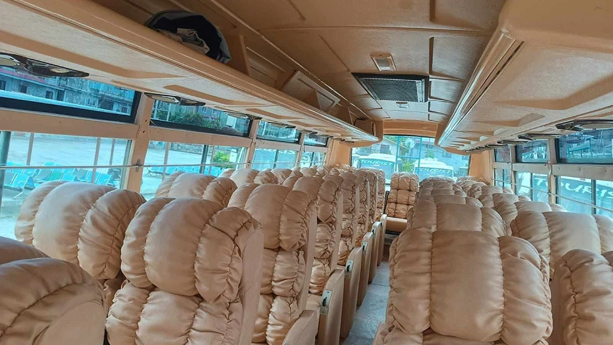
Tourist Sofa / Deluxe Bus — The Standard Budget Option
Several established operators run daily tourist bus services on the Kathmandu-Kakarbhitta route, typically departing in the afternoon (around 3:00 PM) from Kathmandu and arriving in Kakarbhitta the following morning after an overnight journey of 13.5 to 16 hours. These buses follow the East-West Highway corridor via Mugling, Narayanghat, Hetauda, Itahari, and Birtamod, with multiple rest and meal stops along the way.
- 2026 fare: NPR 1,600–2,000 per person (sofa/deluxe seating)
- Departure: Typically 3:00 PM from Kathmandu (Kalanki/Balkhu area) — arriving Kakarbhitta around 9:00 AM the next morning
- Drop-off: Most operators drop passengers within walking distance (or a short taxi ride) of the Kakarbhitta border crossing area
- Best for: Budget travelers comfortable with an overnight bus journey
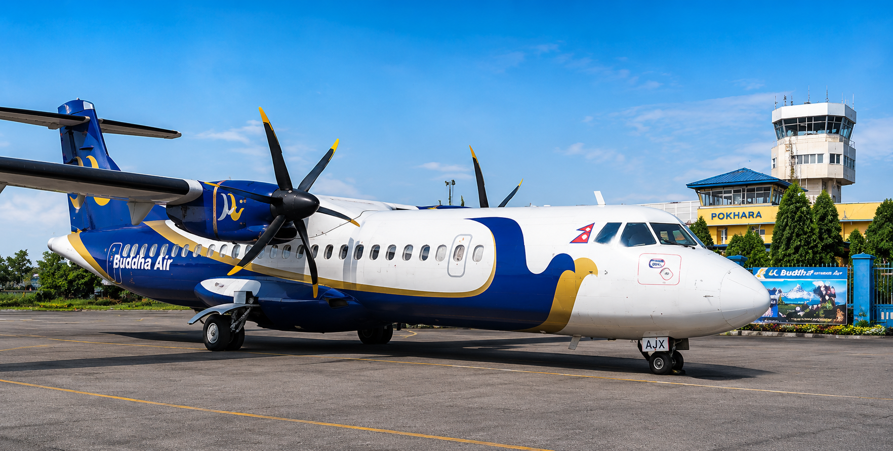
Domestic Flight — The Fastest Option
For travelers prioritizing speed over budget, a domestic flight from Kathmandu’s Tribhuvan International Airport to Bhadrapur Airport (BDP) — located approximately 22 km from Kakarbhitta — covers the same distance in under an hour and a half door-to-door, compared to 10+ hours by road.
- Airlines: Yeti Airlines, Buddha Air, and other domestic carriers operate multiple daily flights
- Flight time: Approximately 50 minutes to 1 hour 15 minutes
- 2026 fare: USD 120–180 per person, one way
- Onward transfer: Bhadrapur Airport to Kakarbhitta border — approximately 22 km, 30–40 minutes by private vehicle
Best Combination for Time-Pressed Travelers: Fly from Kathmandu to Bhadrapur (under 1.5 hours), then book a Nepal Vehicle Hiring Pvt Ltd private vehicle for the short 22 km transfer from Bhadrapur Airport directly to the Kakarbhitta border crossing point—total door-to-door time: approximately 2 to 2.5 hours, versus 10+ hours by road.
Local Night Bus — Cheapest but Slowest
Local (non-tourist) buses connecting Kathmandu to the eastern Terai and onward to Kakarbhitta are the most economical option but involve multiple vehicle changes, longer waiting times, and considerably less comfort than the dedicated tourist sofa bus services.
- 2026 fare: NPR 900–1,400 per person (with transfers)
- Travel time: 15 to 22 hours, including transfers and waiting time
- Best for: Extremely budget-constrained travelers with maximum time flexibility
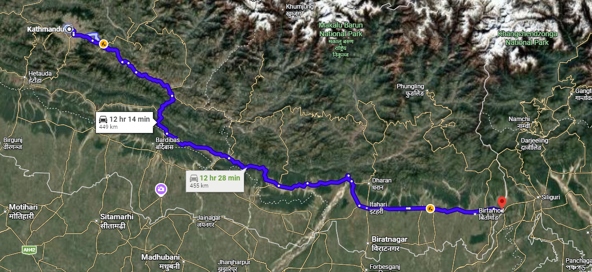
The Route — Step by Step (BP Highway Option)
| Stop | Distance from KTM | Road | Key Notes |
| Kathmandu (Thamel/Koteshwor) | Start | City roads | Departure — hotel pickup |
| Sindhuli / BP Highway summit | 85–100 km | BP Highway (hill road) | Winding Hill Road: scenic but slower section |
| Bardibas | 165–180 km | BP Highway ends — joins East-West Highway | Major junction town — fuel, food stops |
| Lahan | 210 km | East-West (Mahendra) Highway | Flat Terai — faster driving begins |
| Rajbiraj turn-off | 240 km | East-West Highway | Saptari District — flat highway continues |
| Itahari | 330 km | East-West Highway | Major junction — Biratnagar turn-off; common overnight stop |
| Dharan turn-off | 340 km | East-West Highway | Eastern hill town nearby — Sunsari District |
| Birtamod | 410 km | East-West Highway | Jhapa District commercial hub — last major town before the border |
| Kakarbhitta | 432–445 km | East-West Highway terminus | Nepal’s easternmost border town — Mechi Bridge crossing |
Kathmandu to the Sindhuli Hills (BP Highway)
The journey begins on the BP Highway, climbing out of the Kathmandu Valley through the hill districts of Kavrepalanchok and Sindhuli. This section is genuinely mountainous — winding roads through forested hills, occasional sweeping valley views, and a driving pace considerably slower than the flat highway sections that follow. The BP Highway, completed in stages over the past two decades with significant Indian government support, was specifically built to create a more direct connection between Kathmandu and Nepal’s eastern Terai, avoiding the longer detour via Mugling and Narayanghat that the older route required.
Bardibas — Where Hills Meet Plains
Bardibas, in Mahottari District, is the critical junction point where the BP Highway descends from the hills and meets the East-West Highway (Mahendra Highway) — Nepal’s principal Terai artery running the entire length of the country’s southern plains from Mechi in the far east to Mahakali in the far west. From Bardibas onward, the character of the drive transforms completely: a flat, straight, fast Terai highway replaces the winding hill roads, and the remaining 250+ kilometers to Kakarbhitta are covered at a considerably faster average pace.
Lahan, Rajbiraj, and the Eastern Terai Plains
East of Bardibas, the East-West Highway passes through a succession of Terai market towns — Lahan, the turn-off toward Rajbiraj and Saptari District, and onward through the rich agricultural plains of eastern Nepal. This stretch of highway runs through some of Nepal’s most fertile farmland — rice paddies, sugar cane fields, and mustard crops stretching to the horizon, with the distant blue line of the Mahabharat hill range visible to the north on clear days.
Itahari — The Major Eastern Junction
Itahari, in Sunsari District, is the most significant transport junction in eastern Nepal — the point where the East-West Highway meets the road north to Dharan and the Koshi Highway, which connects to Biratnagar, Nepal’s second-largest city and a major industrial and commercial center. Itahari has extensive hotel, restaurant, and fuel facilities, making it the natural overnight stop for travelers splitting the Kathmandu-Kakarbhitta journey over two days.
Birtamod and the Final Approach to Kakarbhitta
Birtamod, in Jhapa District, is the last major commercial town before Kakarbhitta itself — a bustling market centre serving the tea-growing areas of Jhapa and nearby Ilam District (one of Nepal’s premier tea-producing regions, often compared favourably to Darjeeling tea by connoisseurs). From Birtamod, the East-West Highway continues its final stretch to its eastern terminus at Kakarbhitta, where it ends at the Mechi River and the international border.
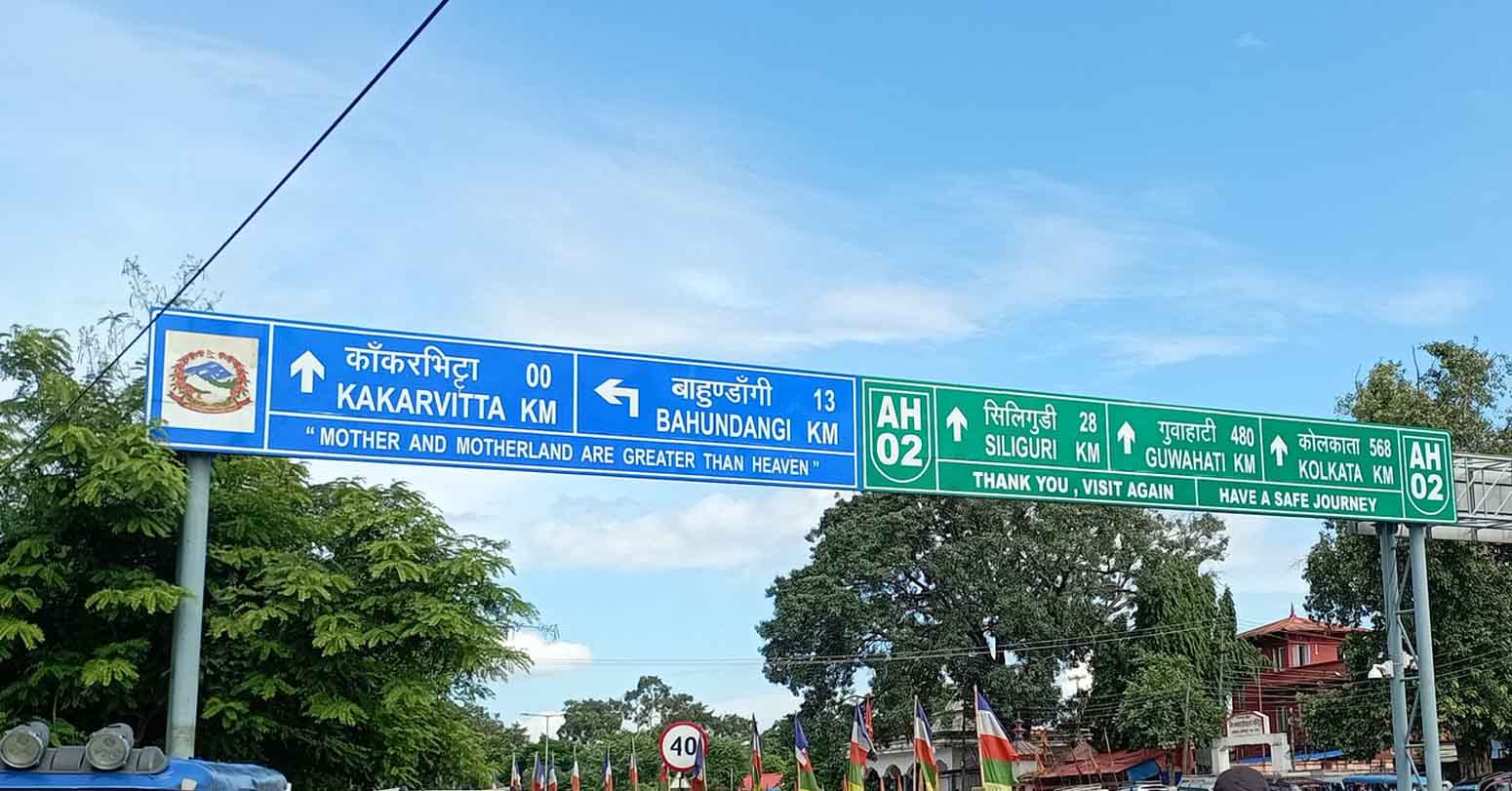
The Border Crossing — Kakarbhitta to Panitanki
The Kakarbhitta-Panitanki crossing is the principal land border between Nepal and India’s West Bengal state — a relatively compact and straightforward crossing point compared to the larger Sunauli crossing further west, but every bit as important for travelers heading toward Darjeeling, Sikkim, and the eastern Himalaya.
The Mechi Bridge
The actual international boundary is marked by the Mechi River, with a bridge connecting Kakarbhitta on the Nepal side to Panitanki on the Indian side. The crossing itself — walking across the bridge — takes only a few minutes. From wherever your vehicle drops you in Kakarbhitta town, the walk (or short rickshaw ride) to the Nepal immigration office across the bridge and on to the Indian immigration office at Panitanki typically takes 10 to 15 minutes in total.
Nepal Immigration (Exiting Nepal)
If you are a foreign national who entered Nepal on a visa, you will need to process your exit at the Nepal immigration office in Kakarbhitta before crossing the bridge. This is generally a quick and straightforward process — present your passport, confirm your visa status, and receive your exit stamp.
Indian Immigration (Entering India at Panitanki)
On the Indian side at Panitanki, foreign nationals (other than Indian and Nepali citizens, who do not require visas under the 1950 bilateral treaty) must present a valid Indian visa obtained in advance — Indian visas are NOT issued on arrival at this land border crossing. This is a critical planning point for international travelers: secure your Indian visa well before arriving at Kakarbhitta, as there is no on-the-spot visa facility here.
Critical Indian Visa Warning: Unlike Nepal, which offers visa-on-arrival to most foreign nationalities at land borders, including Kakarbhitta, India does NOT offer visa-on-arrival at the Panitanki land crossing for most nationalities. If you are a non-Indian, non-Nepali traveler planning to cross into India here, you must obtain your Indian e-Visa or regular visa well in advance of your trip. Attempting to cross without a pre-arranged visa will result in being turned back.
Indian Nationals and Nepali Nationals
Under the 1950 Indo-Nepal Treaty of Peace and Friendship, Indian and Nepali citizens cross freely in both directions without a visa, using a valid passport or other approved government photo identification such as a Voter ID card. This reciprocal arrangement is what makes Kakarbhitta (like Sunauli further west) such a heavily trafficked crossing for everyday cross-border movement, trade, and family connections between the two countries.
Customs and Cross-Border Trade
Kakarbhitta is also a significant customs point for cross-border commercial trade — substantial volumes of goods move through this crossing daily between eastern Nepal and West Bengal. Travelers should be prepared for the customs and immigration area to feel busier and more commercially active than some of Nepal’s quieter mountain border crossings, with cargo trucks, traders, and daily commuters forming a steady backdrop to the tourist and traveler crossing experience.
Onward Travel — What Kakarbhitta Connects You To
| Destination (India/Region) | Distance from Kakarbhitta | Travel Time | Why Visit |
| Siliguri, West Bengal | 22 km (via Panitanki) | 30–45 min | Major transport hub — gateway to the entire eastern Himalaya |
| Darjeeling, West Bengal | 95 km | 3–4 hrs | Tea gardens, Himalayan Railway (UNESCO), Tiger Hill sunrise |
| Kalimpong, West Bengal | 85 km | 3–3.5 hrs | Hill town, monasteries, flower nurseries, Kanchenjunga views |
| Gangtok, Sikkim | 125 km | 4–5 hrs | Capital of Sikkim — monasteries, Himalayan views, Indian permit required |
| Phuentsholing, Bhutan (via Siliguri/Jaigaon) | 165 km from Kakarbhitta | 6–7 hrs | Bhutan border town — gateway for Bhutan visa processing |
| Bagdogra Airport, India | 25 km | 35–45 min | Nearest major Indian airport — flights to Kolkata, Delhi, Guwahati |
Siliguri — The Regional Transport Hub
Siliguri, approximately 22 km from Kakarbhitta via Panitanki, is the principal transport and commercial hub of North Bengal — the gateway through which virtually all onward travel into Darjeeling, Sikkim, and the Northeast Indian states must pass. Siliguri has extensive bus, shared jeep, and taxi connections fanning out to every destination in the region, and Bagdogra Airport (the nearest major airport to Kakarbhitta) offers flights to Kolkata, Delhi, Guwahati, and other major Indian cities.
Darjeeling — The Queen of the Hills
Darjeeling, the legendary British colonial hill station and India’s most celebrated tea-growing region, is approximately 95 km away and a 3- to 4-hour drive from Kakarbhitta via Siliguri. The town’s tea estates, the UNESCO-listed Darjeeling Himalayan Railway (the famous ‘toy train’), and the sweeping Himalayan panorama from Tiger Hill — including, on exceptionally clear days, views of Mount Everest itself alongside the much closer Kanchenjunga massif — make Darjeeling one of the most rewarding onward destinations from a Nepal trip via Kakarbhitta.
Kalimpong — The Quieter Hill Town
Kalimpong, approximately 85 km from Kakarbhitta, offers a quieter, less touristed alternative to Darjeeling, with its own charm: monasteries, flower nurseries (Kalimpong is a major center for orchid and gladiolus cultivation), colonial architecture, and excellent Kanchenjunga views. Many travelers combine a Darjeeling-Kalimpong loop as part of their post-Nepal eastern Himalaya itinerary.
Gangtok and Sikkim — The Himalayan Buddhist State
Gangtok, the capital of Sikkim, lies approximately 125 km from Kakarbhitta and is reached via Siliguri and the Rangpo checkpoint, where the mandatory Sikkim Inner Line Permit (ILP) is processed for both foreign and domestic Indian visitors. Sikkim’s extraordinary Buddhist monastery culture, its position beneath Kanchenjunga (the world’s third-highest mountain), and increasingly developed tourism infrastructure make it an excellent extension for travelers willing to handle the additional permit requirement.
Bhutan — The Final Frontier
For travelers with sufficient time, Kakarbhitta can be the starting point for an extended overland journey to the Kingdom of Bhutan, via Siliguri and the Indian border town of Jaigaon, crossing into Phuentsholing on the Bhutan side. This onward leg covers approximately 165 km andtakes 6 to 7 hours from Kakarbhitta. Entry into Bhutan requires advance arrangements through a licensed Bhutan tour operator — independent travel within Bhutan is not permitted for most foreign nationalities, and the necessary visa and tour arrangements should be confirmed well before reaching the region.
Documents Required
| Traveler Type | Documents Required | Visa Needed? |
| Indian Nationals | Passport, Voter ID card, or government photo ID | No visa required (1950 Treaty) |
| Nepali Nationals | Citizenship certificate or passport | No visa required (reciprocal) |
| Foreign Nationals (entering Nepal) | Valid passport + photo + visa fee (USD cash) | Nepal visa on arrival at most borders incl. Kakarbhitta |
| Foreign Nationals (entering India at Panitanki) | Valid Indian visa obtained IN ADVANCE | Indian visa CANNOT be obtained on arrival at this land border |
| Travelers continuing to Sikkim | Inner Line Permit (ILP) for Sikkim | Required — arranged at the Siliguri or Rangpo checkpoint |
| Travelers continuing to Bhutan | Bhutan visa/permit | Arranged via a licensed Bhutan tour operator before travel |
Plan Your Visas Before You Travel: Unlike many of Nepal’s other land borders, the Kakarbhitta-Panitanki crossing requires non-Indian, non-Nepali travelers to have their Indian visa fully arranged BEFORE arrival. There is no on-arrival facility here. If your itinerary includes Sikkim, arrange the Inner Line Permit in Siliguri or at the Rangpo checkpoint. If Bhutan is part of your plan, confirm your arrangements with a licensed Bhutan operator well in advance.
Recommended 2-Day Itinerary — The Comfortable Approach
| Day | Route | Drive Time | Overnight | Notes |
| Day 1 | Kathmandu → Itahari (via BP Highway, Bardibas) | 6–7 hrs | Itahari or Dharan | Most comfortable overnight break point |
| Day 2 | Itahari → Kakarbhitta border crossing | 2–2.5 hrs | Cross into India / Siliguri | Arrive at the border well-rested for immigration |
Given the substantial distance involved, Nepal Vehicle Hiring Pvt Ltd recommends splitting the Kathmandu-to-Kakarbhitta journey over two days wherever possible, with an overnight stop in the Itahari or Dharan area. This approach transforms what would otherwise be a grueling 10- to 13-hour single-day drive into two comfortable and far more enjoyable half-day journeys, allows proper rest for both the driver and passengers, and provides flexibility to handle any unexpected delays without the pressure of needing to complete the entire distance before nightfall.
Why Itahari is the Ideal Overnight Stop: Itahari offers good-quality hotels, abundant restaurants, easy highway access for an early Day 2 departure, and sits at the natural two-thirds point of the journey — leaving only a comfortable 2- to2.5-hourr final stretch to the Kakarbhitta border on Day 2, with plenty of time for the crossing and onward connections.
Season Guide — Best Time for the Journey
| Season | Months | Road & Border Conditions | Recommendation |
| Autumn | Oct–Nov | Excellent — dry, clear, comfortable Terai heat | Best season — ideal for the long drive |
| Winter | Dec–Feb | Good — cool, occasional morning fog in Terai | Very good — fog can delay early morning starts |
| Spring | Mar–May | Good but hot in the lower Terai | Good — start early to avoid midday heat |
| Monsoon | Jun–Sep | Variable — heavy rain risk, occasional flooding on Terai sections | Caution — verify road conditions, especially near rivers |
The Terai plains sections of this route (the majority of the distance) are considerably hotter and more humid than Kathmandu — particularly from April through June, when daytime temperatures in Itahari, Birtamod, and Kakarbhitta can exceed 38–40°C. Early-morning departures are strongly advisable during these months, both for comfort and to avoid the most intense heat on the long highway sections.
Practical Tips for the Kathmandu to Kakarbhitta Journey
- Decide early whether you will drive through in one day or split the journey — book your overnight accommodation in Itahari or Dharan in advance if choosing the two-day approach.
- If continuing into India, confirm your Indian visa is fully arranged BEFORE departure — there is no visa-on-arrival facility for foreign nationals at Panitanki.
- If your itinerary includes Sikkim, research the Inner Line Permit (ILP) requirement in advance — it is processed at Siliguri or the Rangpo checkpoint, not at Kakarbhitta itself.
- Carry adequate NPR cash for the journey — while ATMs are available in major towns along the route (Bardibas, Itahari, Birtamod), having cash on hand for fuel stops, meals, and incidental costs makes the long journey easier.
- If flying to Bhadrapur instead of driving, book your onward private vehicle transfer from Bhadrapur to Kakarbhitta in advance with Nepal Vehicle Hiring Pvt Ltd for a seamless connection.
- Pack snacks, water, and entertainment for the journey — even with the BP Highway’s improvements, this remains one of Nepal’s longest domestic road journeys.
- Cross the border during daylight hours for the smoothest immigration and customs processing and the best availability of onward transport on the Indian side.
- If combining this journey with a Chitwan stop, consider the traditional route via Narayanghat rather than the BP Highway — Nepal Vehicle Hiring Pvt Ltd can plan either route based on your specific itinerary.
- Carry a printed copy of your Indian visa (if applicable) in addition to the digital version — printed documentation is often required at land border immigration counters.
- For Bhutan-bound travelers: confirm all tour arrangements, visa processing, and entry logistics with your licensed Bhutan operator well before reaching Kakarbhitta — Bhutan entry cannot be arranged spontaneously at the border.
Why Choose Nepal Vehicle Hiring Pvt Ltd
- Long-Distance Route Expertise: Our drivers have extensive experience along the full Kathmandu-to-Kakarbhitta corridor — both the BP Highway route and the traditional Mugling-Narayanghat route — and can advise on the best choice for your specific itinerary.
- Flexible One-Day or Two-Day Planning: We can arrange the journey as a single very long driving day for time-pressed travelers, or as a comfortable two-day journey with an overnight stop in Itahari — including driver accommodation in our package pricing.
- All Vehicle Types: Private sedan, jeep, or Hiace van — sized correctly for your specific group, with full luggage capacity for longer cross-country and cross-border journeys.
- Bhadrapur Airport Transfers: For travelers flying to Bhadrapur, we provide reliable, prompt private vehicle transfer for the short onward leg to the Kakarbhitta border.
- Transparent All-Inclusive Pricing: Driver, fuel, and road tolls are included in every quote — clear pricing for a journey that covers a substantial portion of Nepal’s entire length.
- 24/7 Booking: WhatsApp or phone at +977-9851343204 — book this longer journey with confidence, with full itinerary planning support included.
Frequently Asked Questions
How far is Kathmandu from Kakarbhitta?
The road distance from Kathmandu to Kakarbhitta is approximately 432-457 km, depending on the route taken. The newer BP Highway route via Bardibas is generally shorter and faster than the traditional route via Mugling and Narayanghat.
How long does it take to drive from Kathmandu to Kakarbhitta?
By private vehicle, the journey takes approximately 10 to 13 hours if driven in a single day. Nepal Vehicle Hiring Pvt Ltd recommends splitting the journey across two days with an overnight stop in Itahari — approximately 6 to 7 hours on Day 1 and 5 to 6 hours on Day 2. Overnight tourist buses take 13.5 to 16 hours, including rest stops.
What is the fastest way to get from Kathmandu to Kakarbhitta?
Flying from Kathmandu (TIA) to Bhadrapur Airport (BDP) takes approximately 50 minutes to 1 hour 15 minutes, followed by a30-0 to40-minutee private vehicle transfer covering the remaining 22 km to the Kakarbhitta border — a total door-to-door time of approximately 2 to 2.5 hours, compared to 10+ hours by road.
What is the 2026 cost of a private vehicle from Kathmandu to Kakarbhitta?
A private sedan costs approximately NPR 35,000 to NPR 48,000 (USD 260 to USD 360) for the full one-way journey. A private jeep costs NPR 45,000 to NPR 62,000 (USD 340 to USD 465). A Hiace van for larger groups costs NPR 55,000 to NPR 75,000 (USD 415 to USD 565). All rates include driver and fuel.
Can foreign tourists get an Indian visa at the Kakarbhitta-Panitanki border?
No. Unlike Nepal’s visa-on-arrival policy at most land borders, India does NOT offer visa-on-arrival for most foreign nationalities at the Panitanki land crossing. Foreign travelers planning to enter India must obtain their Indian e-Visa or regular visa in advance, before arriving at the border.
Do Indian and Nepali citizens need a visa to cross at Kakarbhitta?
No. Under the 1950 Indo-Nepal Treaty of Peace and Friendship, both Indian and Nepali nationals cross freely in both directions without a visa, using a valid passport or approved government photo identification.
What can I visit after crossing into India at Kakarbhitta?
Kakarbhitta connects via Siliguri (22 km) to Darjeeling (95 km, tea gardens and the UNESCO Himalayan Railway), Kalimpong (85 km, monasteries and Kanchenjunga views), Gangtok and Sikkim (125 km, requires Inner Line Permit), and onward to Bhutan via Jaigaon-Phuentsholing (165 km, requires licensed Bhutan tour operator arrangements).
Should I take the BP Highway or the Mugling-Narayanghat route to Kakarbhitta?
The BP Highway route via Bardibas is generally faster and the recommended option for most travelers in 2026. The traditional Mugling-Narayanghat route is longer but allows an easy stop at Chitwan National Park along the way — a good option if you want to combine the eastern journey with a wildlife safari.
Is a 4WD vehicle necessary for the Kathmandu to Kakarbhitta route?
No. Both route options are fully paved throughout — a standard sedan, jeep, or van is entirely suitable. The journey does not require 4WD capability, unlike many of Nepal’s mountain trekking trailhead transfers.
Conclusion
The journey from Kathmandu to Kakarbhitta is one of Nepal’s longest and most consequential overland routes — a 432 to 457 kilometre traverse from the hill capital to the flat eastern Terai, ending at a border crossing that opens onto an entire world of onward adventure: the tea-scented hill stations of Darjeeling and Kalimpong, the Buddhist monasteries and high mountain landscapes of Sikkim, and ultimately the remote Kingdom of Bhutan itself.
Whether your purpose in making this journey is cross-border trade, a multi-country eastern Himalayan adventure, or simply the practical necessity of reaching Nepal’s far southeastern corner, the choice between the modern BP Highway route and the traditional Narayanghat corridor, between a single demanding driving day and a comfortable two-day approach, and between road, bus, and flight options all deserve careful consideration given the substantial distance involved.
Nepal Vehicle Hiring Pvt Ltd brings extensive experience, flexible itinerary planning, and a full range of private vehicles to this significant cross-country journey — ensuring that wherever your onward adventure beyond Kakarbhitta takes you, the journey to get there is as comfortable, well-planned, and reliable as the destination deserves.
Book your Kathmandu to Kakarbhitta transfer — Call or WhatsApp: +977-9851013196
- Kathmandu to Kakarbhitta Border Transport
- Kakarbhitta — Nepal's Gateway to the Eastern Himalaya
- Key Facts at a Glance — Kathmandu to Kakarbhitta 2026
- Two Route Options — Which Road to Take
- All Transport Options — Kathmandu to Kakarbhitta 2026
- The Route — Step by Step (BP Highway Option)
- Onward Travel — What Kakarbhitta Connects You To
- Documents Required
- Recommended 2-Day Itinerary — The Comfortable Approach
- Season Guide — Best Time for the Journey
- Practical Tips for the Kathmandu to Kakarbhitta Journey
- Why Choose Nepal Vehicle Hiring Pvt Ltd
- Frequently Asked Questions
- Conclusion

Related Blog & Articles
Korala – Nepal’s Gateway to Tibet: The Mustang Jeep Route to the Nepal-China Border 2026
Kathmandu to Kodari Border Transport
Chitwan to Birgunj Border Transport – Complete Private Vehicle Hire Guide
Janakpur Airport Transfer Service – Private Car, Jeep & Van Hire in Janakpur