MCAP Permit Guide

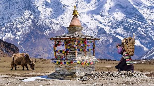
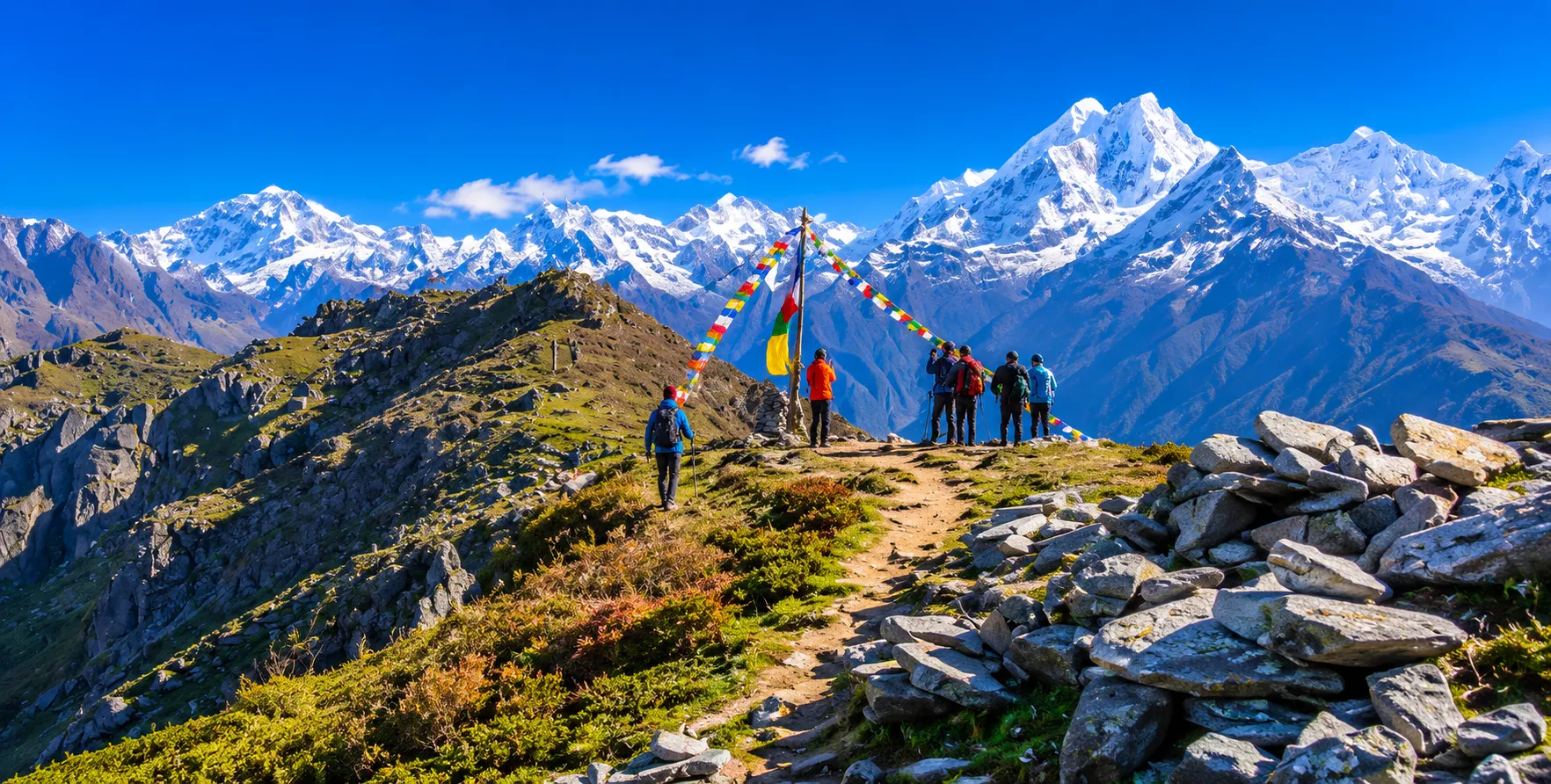
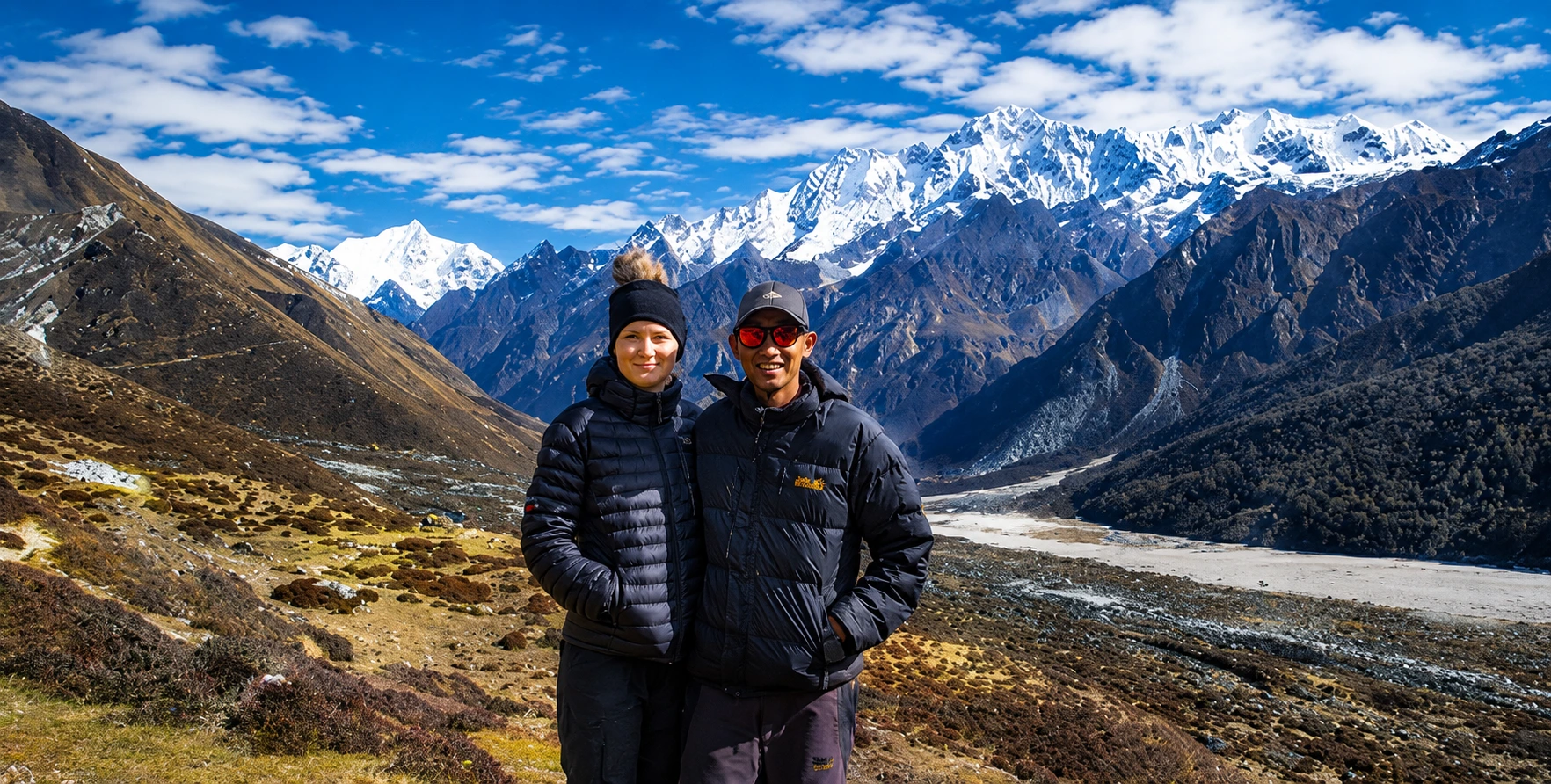
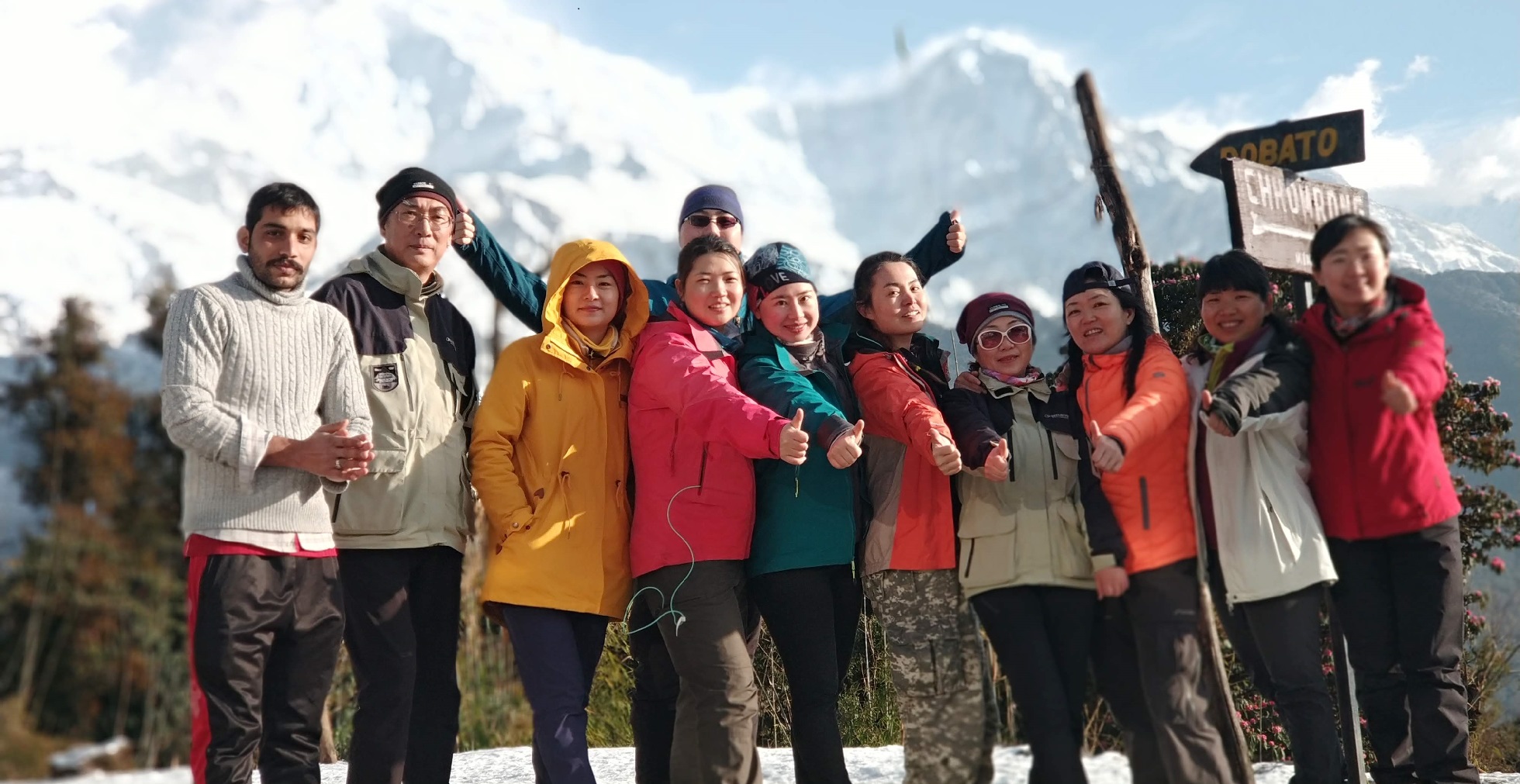
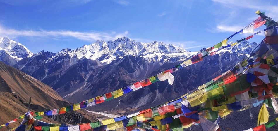
Trekker obtaining MCAP Permit guide for the Manaslu Conservation Area in Nepal
Manaslu Circuit and Tsum Valley Trek.

The MCAP Permit: Complete Guide to the Manaslu Conservation Area Permit 

When trekkers begin researching the Manaslu Circuit Trek — one of Nepal’s most celebrated, most demanding, and most culturally rewarding long-distance trekking routes — they quickly discover that the region operates under a significantly more complex permit framework than the Annapurna or Langtang circuits they may have attempted before. Three distinct permits, issued by two separate government bodies, must be in a trekker’s possession before they can legally set foot on the restricted section of the Manaslu trail.

Of these three, the Manaslu Conservation Area Permit — universally abbreviated to MCAP — is perhaps the most fundamental and the most directly connected to the long-term well-being of the extraordinary landscape through which the Manaslu Circuit passes.

The MCAP is not a bureaucratic inconvenience or a revenue-raising exercise dressed up in conservation language. It is the primary legal instrument through which Nepal’s government, working through the National Trust for Nature Conservation (NTNC), regulates access to and manages the health of one of the Himalayan region’s most significant protected landscapes. The Manaslu Conservation Area, established in 1998, covers 1,663 square kilometers of terrain spanning extraordinary ecological and cultural diversity — from subtropical forest in the lower Budhi Gandaki valley to alpine meadow and high-altitude desert above 4,000 meters, from the ethnically Nepali villages of the lower route to the Tibetan Buddhist communities of Nubri and Tsum that the high valleys contain. Understanding what the MCAP is, why it exists, and what it represents — rather than simply how to obtain it — fundamentally enriches the experience of every trekker who carries it into the Manaslu wilderness.

This deep research guide addresses the MCAP from every angle relevant to a trekker planning the Manaslu Circuit: the conservation area’s history, geography, and ecological significance; the complete legal and regulatory framework governing the permit; the precise costs in Nepali rupees and US dollars for every nationality category; the step-by-step process for obtaining it; the network of checkpoints where it is verified along the route; its relationship to the other two mandatory permits.

the Restricted Area Permit (RAP) and the Annapurna Conservation Area Permit (ACAP) — that together make up the Manaslu Circuit’s full permit requirement; the specific provisions for the Tsum Valley extension that many trekkers add to the standard circuit; and the broader context of what the permit system means for the future of trekking in one of Nepal’s most precious protected landscapes.

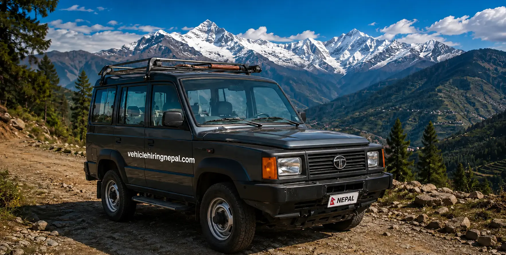
Nepal Vehicle Hiring Pvt Ltd (vehiclehiringnepal.com) has included this comprehensive MCAP permit guide as part of its commitment to ensuring that every client approaching the Manaslu Circuit, whether independently or as part of a package, arrives at the trailhead fully informed and properly documented.

Our private 4WD jeep service for the Kathmandu-to-Arughat and Kathmandu-to-Soti Khola approach roads — the two principal starting points for the Manaslu Circuit — is directly connected to the permit-planning process. Clients who book trailhead transfers with us can access permit guidance and, where needed, referrals to trusted registered agencies for assistance with permit processing.

YouTube video

Understanding the Manaslu Conservation Area: Landscape, Ecology, and Significance

Establishment and Administration

The Manaslu Conservation Area (MCA) was formally established in 1998 under Nepal’s National Parks and Wildlife Conservation Act, covering 1,663 square kilometers in the Gorkha District of Gandaki Province. Its management was entrusted to the National Trust for Nature Conservation (NTNC), a semi-autonomous government organization with a mandate to conserve biodiversity and promote sustainable development across Nepal’s protected areas. The choice of NTNC rather than the Department of National Parks and Wildlife Conservation for MCA management reflects the hybrid conservation-development mission of the area: the Manaslu Conservation Area is explicitly designed not just to protect its natural heritage but to support the communities living within it through a model of conservation that integrates local people’s needs and traditional knowledge into management decision-making rather than excluding them.

This integrated approach distinguishes the conservation area model from the national park model, which governs other protected areas such as Sagarmatha (Everest) and Langtang. In a national park, most forms of resource extraction and permanent human settlement in core zones are prohibited. In a conservation area, local communities retain their right to live within the protected landscape and to use its resources — for fuel, fodder, building materials, and food — within limits set through collaborative management agreements that seek to balance current community needs against the long-term viability of the natural systems on which both communities and ecosystems depend. The revenue generated by MCAP fees is specifically allocated to financing conservation programs, trail maintenance, community development projects, and the administrative infrastructure needed to manage this balance over time.

Geographic Boundaries and Terrain

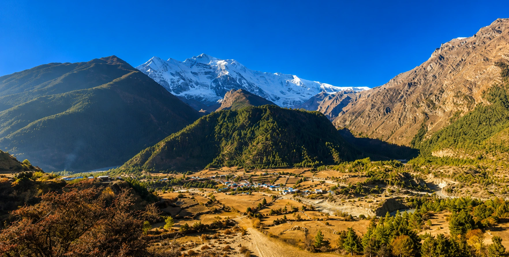
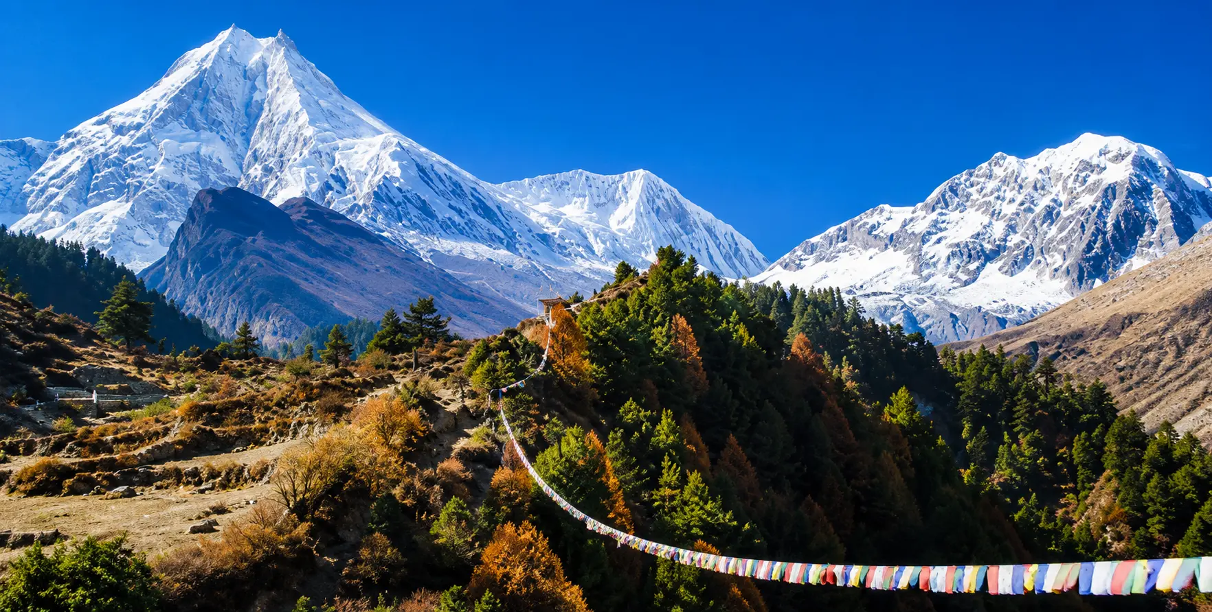
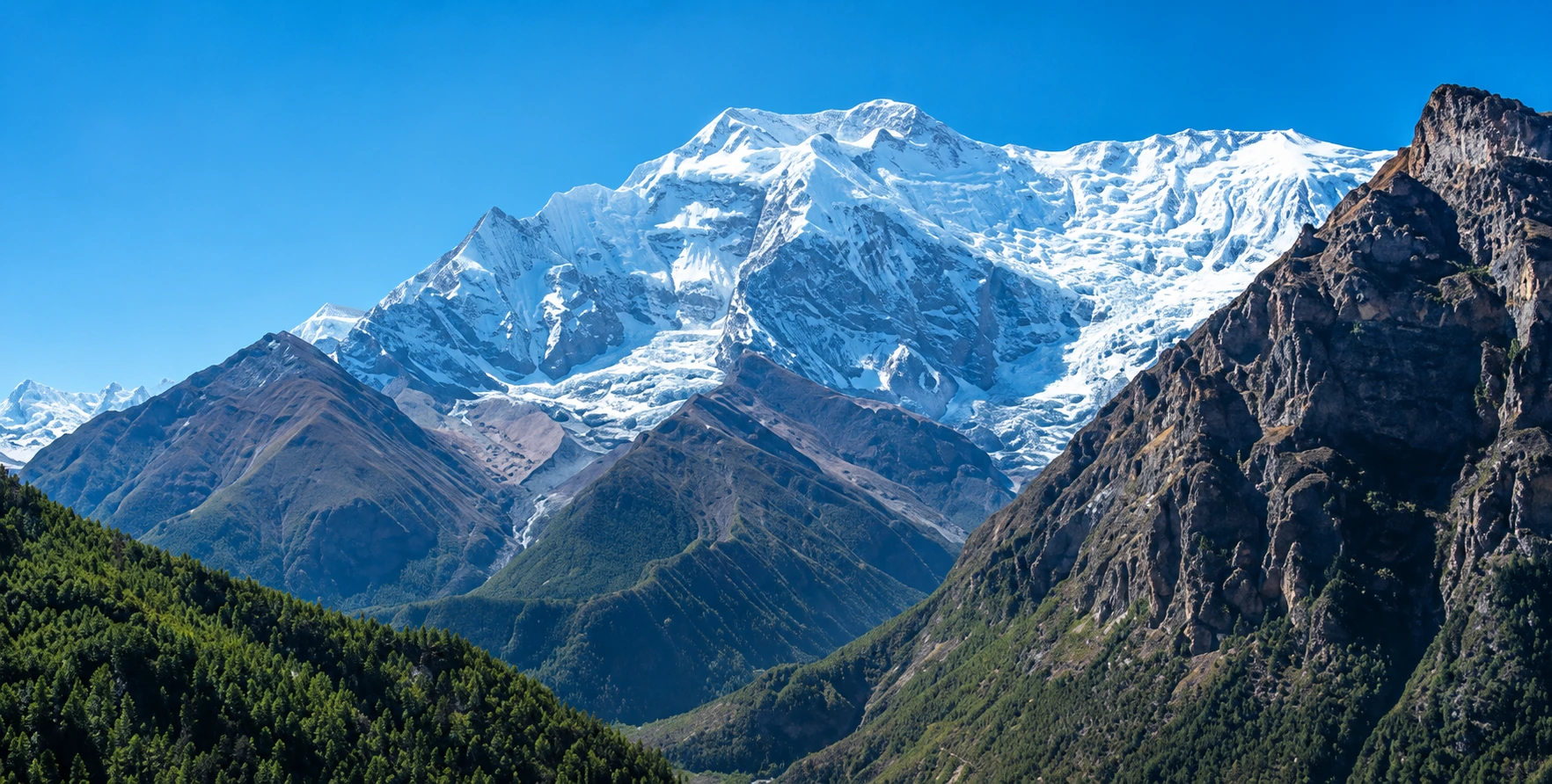
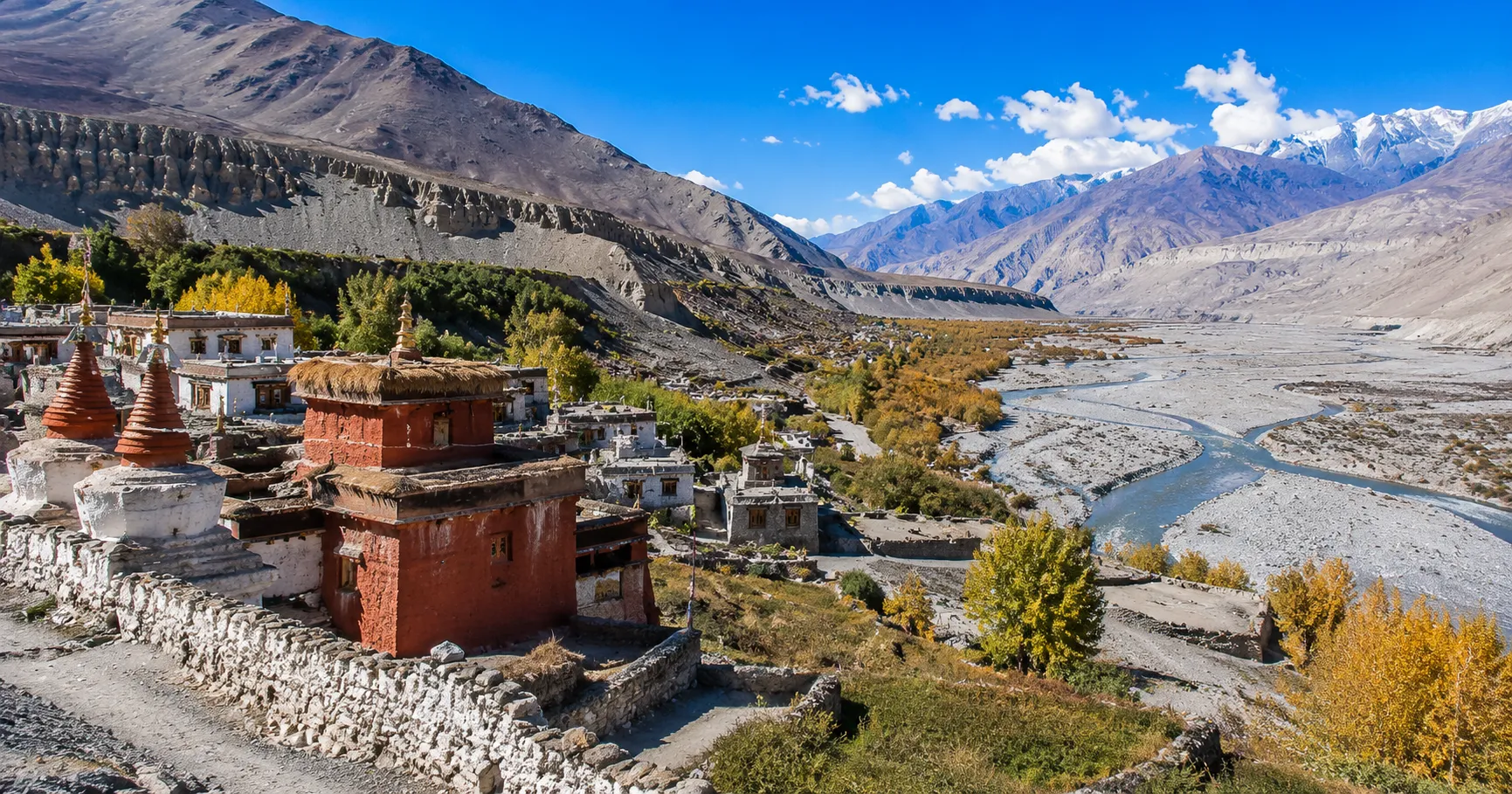
The Manaslu Conservation Area occupies a roughly rectangular zone in the upper Budhi Gandaki watershed, bounded on the north and northwest by the Nepal-Tibet border, on the east by the Annapurna Conservation Area boundary near Dharapani, and on the south and west by the lower reaches of the Budhi Gandaki River system below the village of Jagat. The area is dominated geographically by the Manaslu Massif — anchored by Manaslu itself at 8,16 meters, the world’s eighth-highest mountain — along with several other major peaks, including Himalchuli (7,893 m), Peak 29 or Ngadi Chuli (7,871 m), and Baudha Himal (6,672 m). The Budhi Gandaki River drains the central valley, flowing southward through a gorge that ranks among the most dramatic and least accessible in the entire Nepal Himalaya.

The terrain of the conservation area spans an elevation range from approximately 1,400 metres in the lower valleys near Arughat to over 8,000 metres at the summit of Manaslu, encompassing within this vertical distance a complete sequence of Himalayan ecological zones: tropical and subtropical forest in the lowest reaches, temperate oak and rhododendron forest in the middle altitude band, sub-alpine conifer and birch forest above 3,000 metres, alpine meadow and scrub between 4,000 and 5,000 metres, and the permanent ice and snow zone of the high peaks above. This ecological sequence supports extraordinary biodiversity, including populations of snow leopard, Himalayan tahr, musk deer, Himalayan black bear, red panda, and grey wolf among mammals, as well as over 100 bird species, ranging from subtropical forest specialists to high-altitude Himalayan endemics.

Cultural Landscape

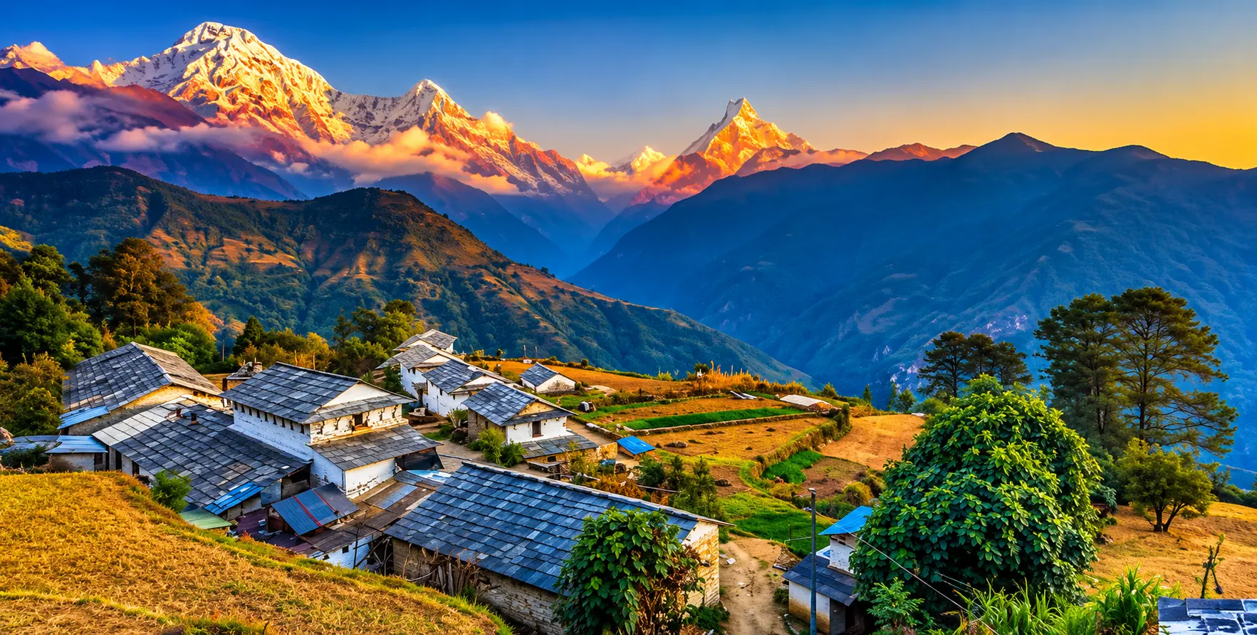
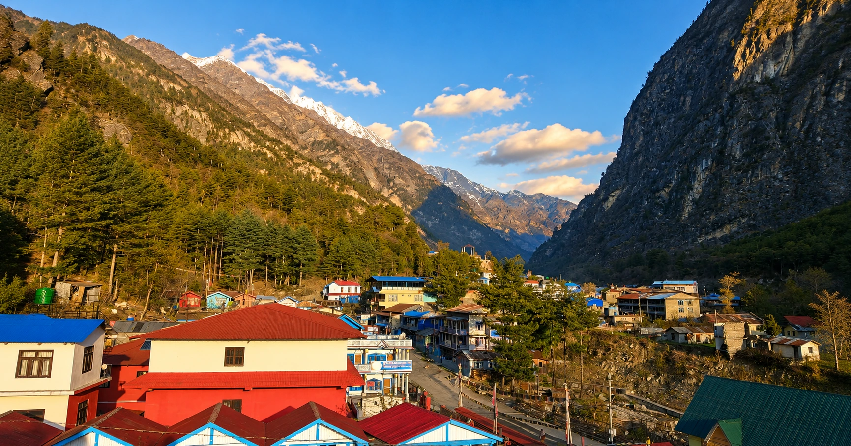
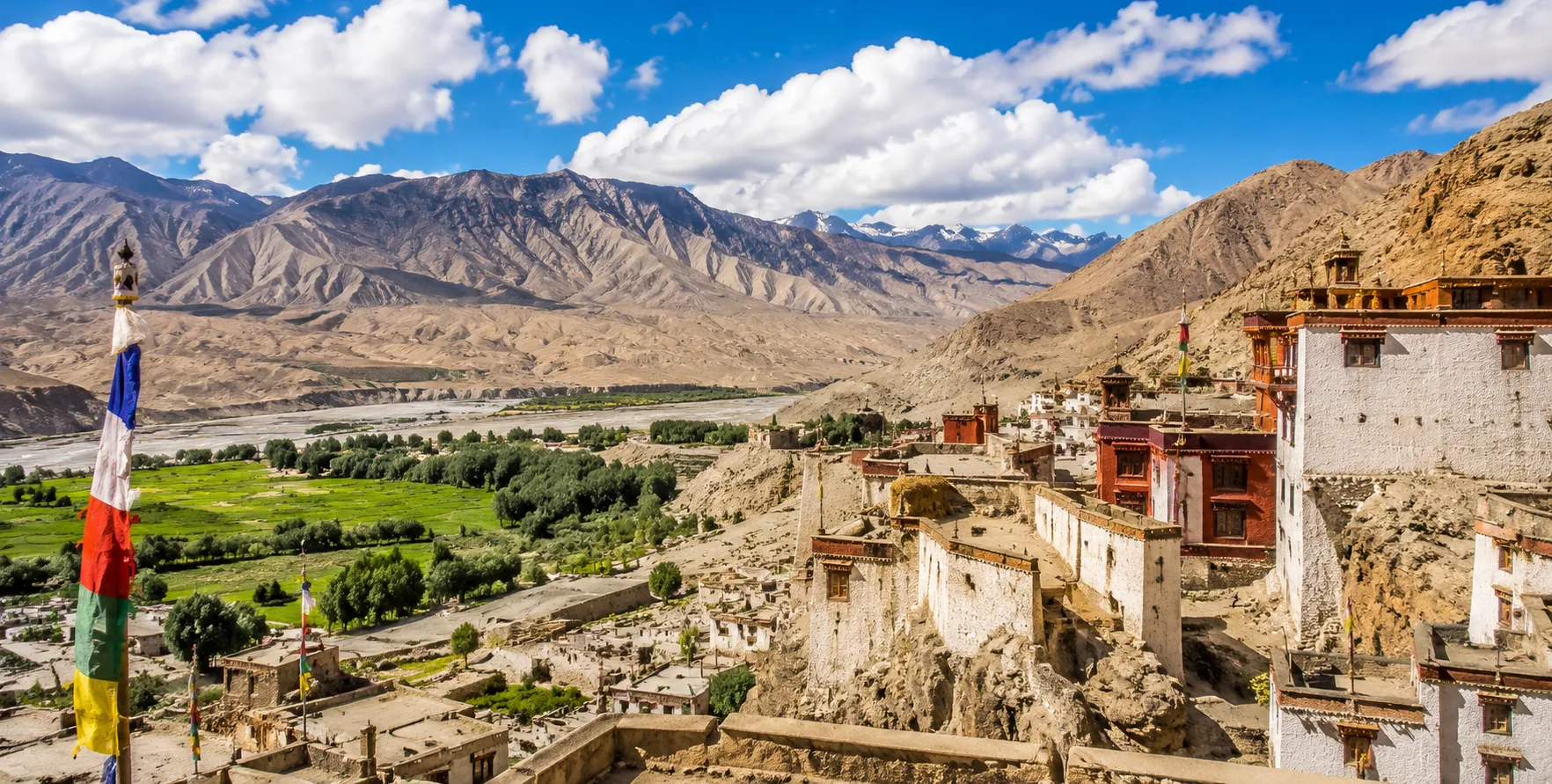
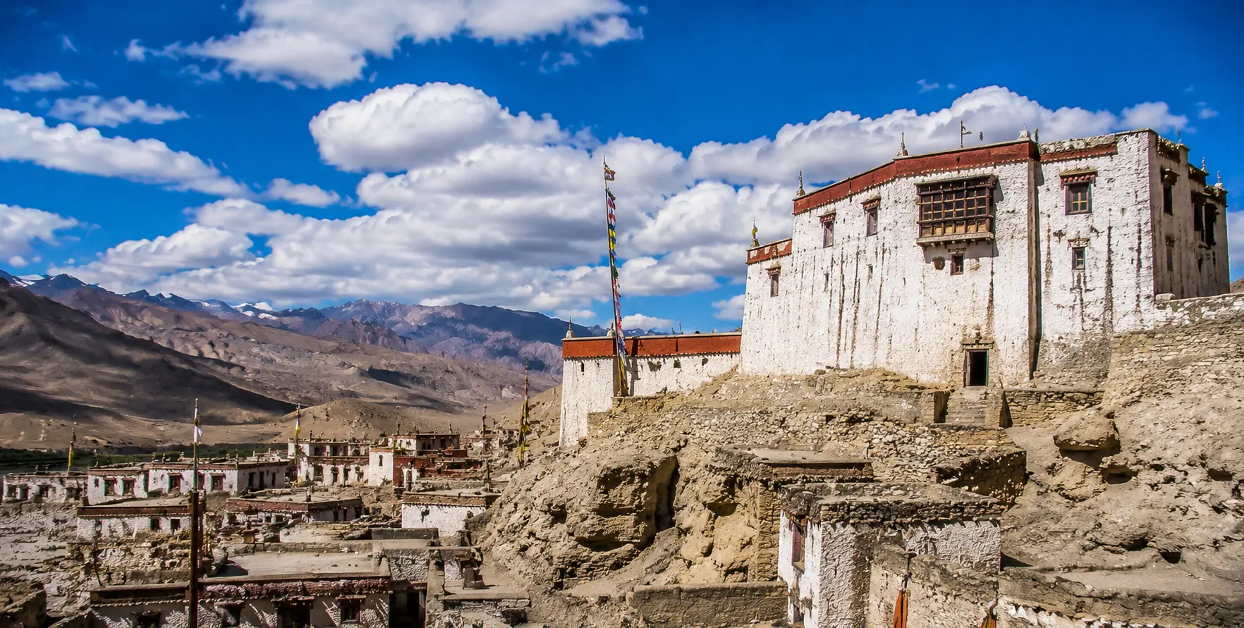
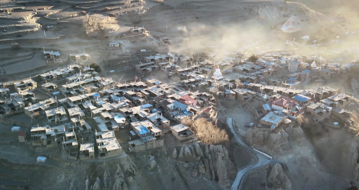
The human geography of the Manaslu Conservation Area is as richly diverse as its natural landscape. The lower valley is home to communities of Gurung, Magar, and mixed-caste Nepali groups whose agricultural and pastoral practices reflect centuries of adaptation to the middle-hill environment. Above Jagat, as the route enters the restricted zone and the valley deepens toward the high Himalaya, the communities transition to the ethnically Tibetan Nubri people — a community of Tibetan Buddhist practice and Tibetan language whose presence in this high valley reflects centuries of Tibetan cultural expansion southward across the Himalayan range. The upper valley villages of Sama Gaon, Samdo, and Dharmasala are Nubri settlements whose monasteries, prayer flags, and traditional architecture could easily be mistaken for Tibetan plateau communities, so complete is the cultural continuity with the world north of the Nepal-Tibet border.

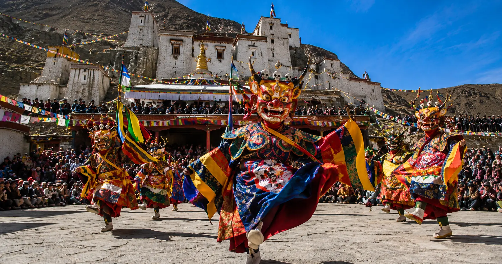
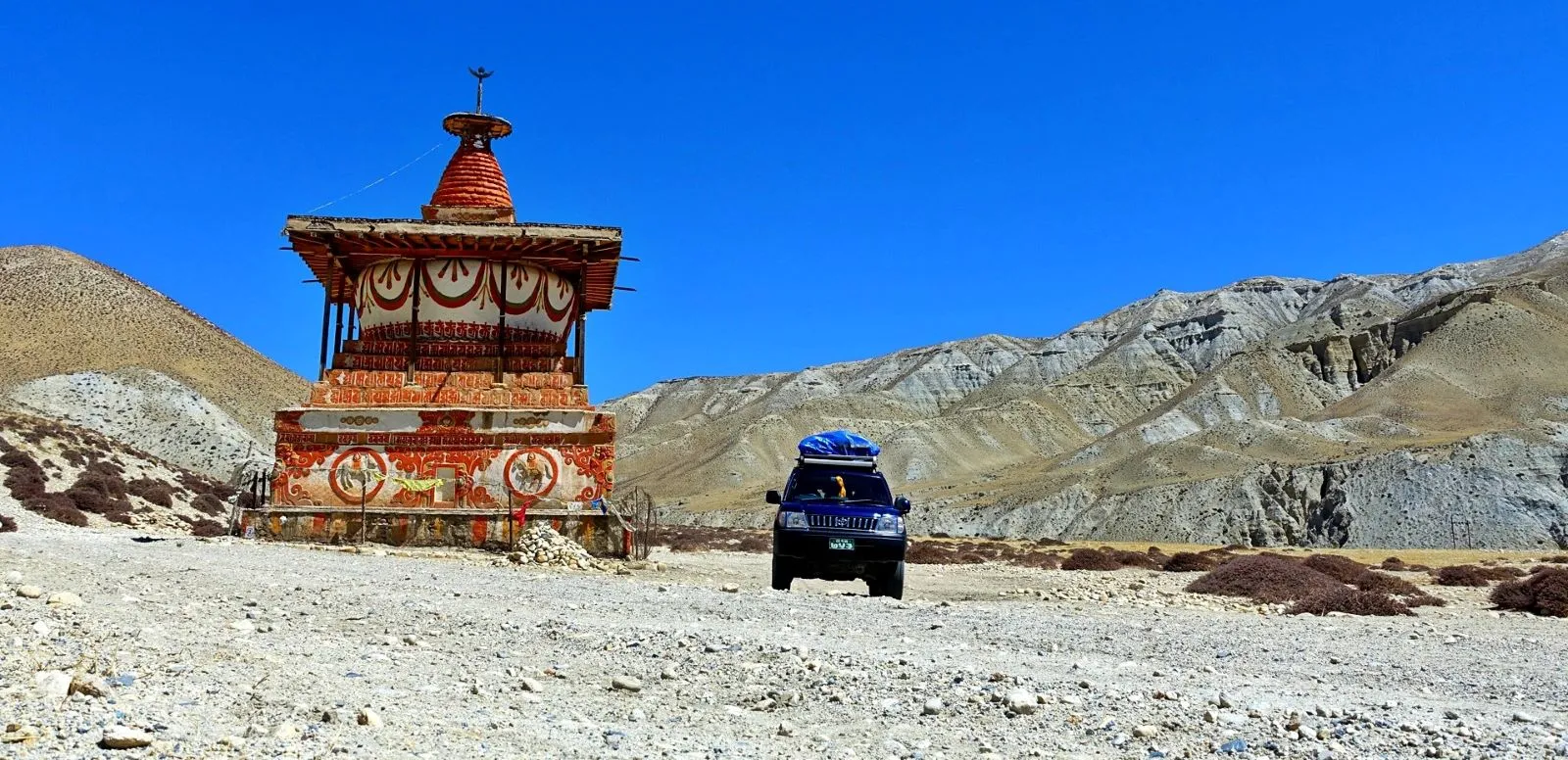
The Tsum Valley, which branches off the main Manaslu Circuit route near Chumling and can be visited as a significant extension requiring its own additional permit, is home to the Tsumba people — another ethnically Tibetan community whose cultural preservation has been even more complete than that of the main valley communities, partly because of the valley’s particular geographic isolation. Himalayan scholars and anthropologists widely describe Tsum as one of the most perfectly preserved examples of traditional Tibetan Buddhist village culture anywhere in the world accessible to visitors, and the experience of walking through its ancient villages and monasteries carries a quality of temporal dislocation that few other destinations in Nepal or indeed anywhere in the world can replicate.
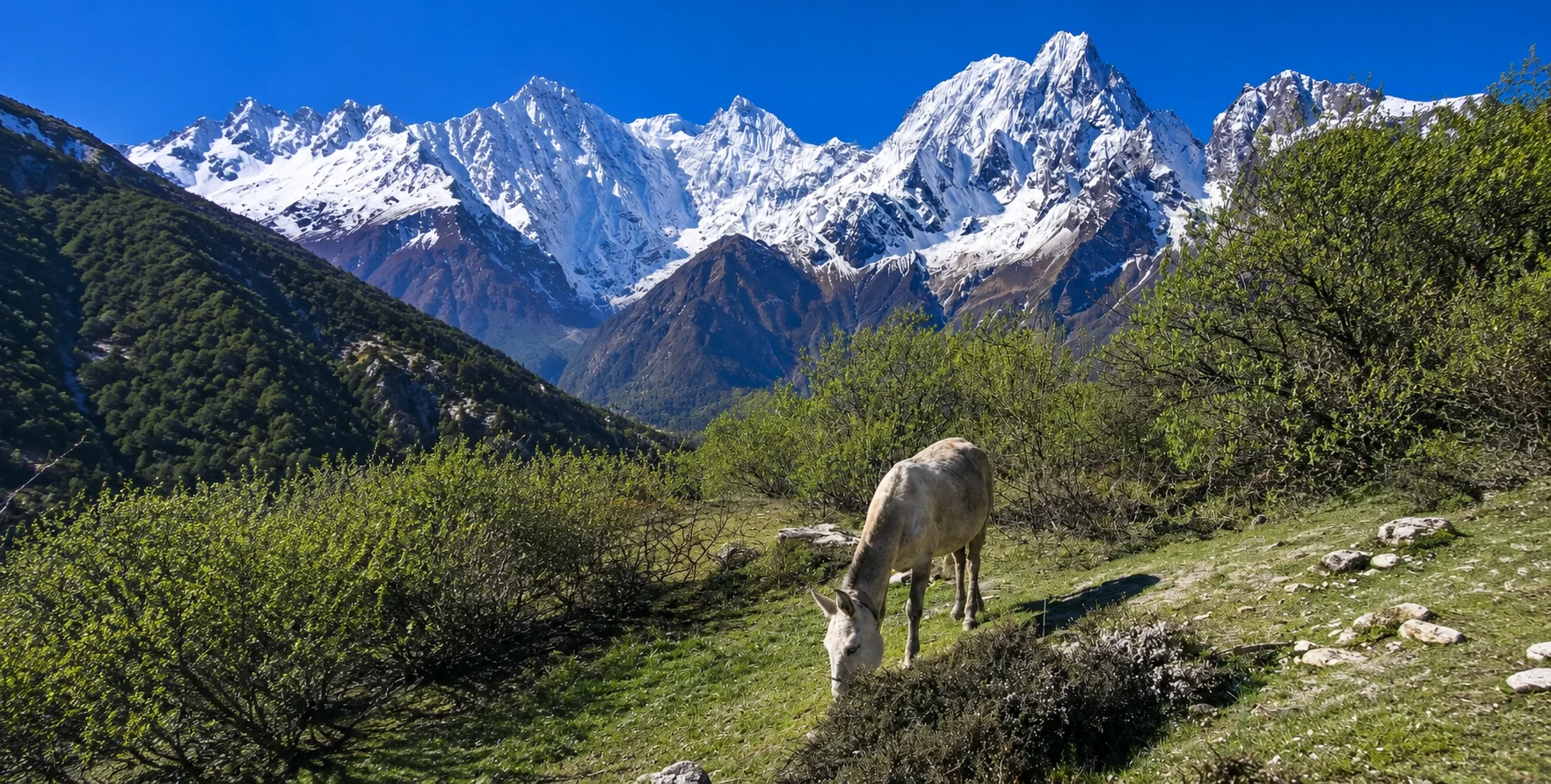
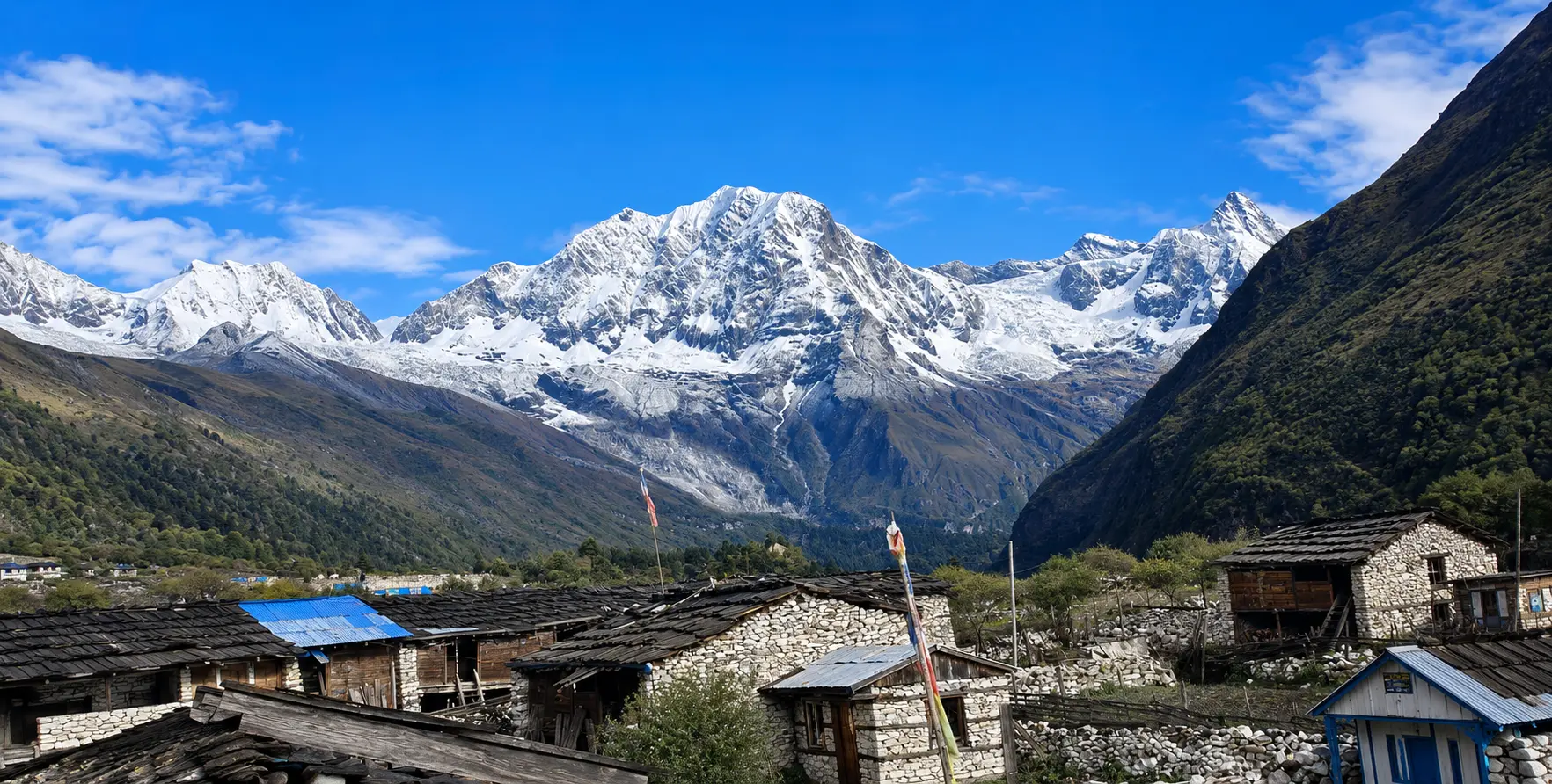
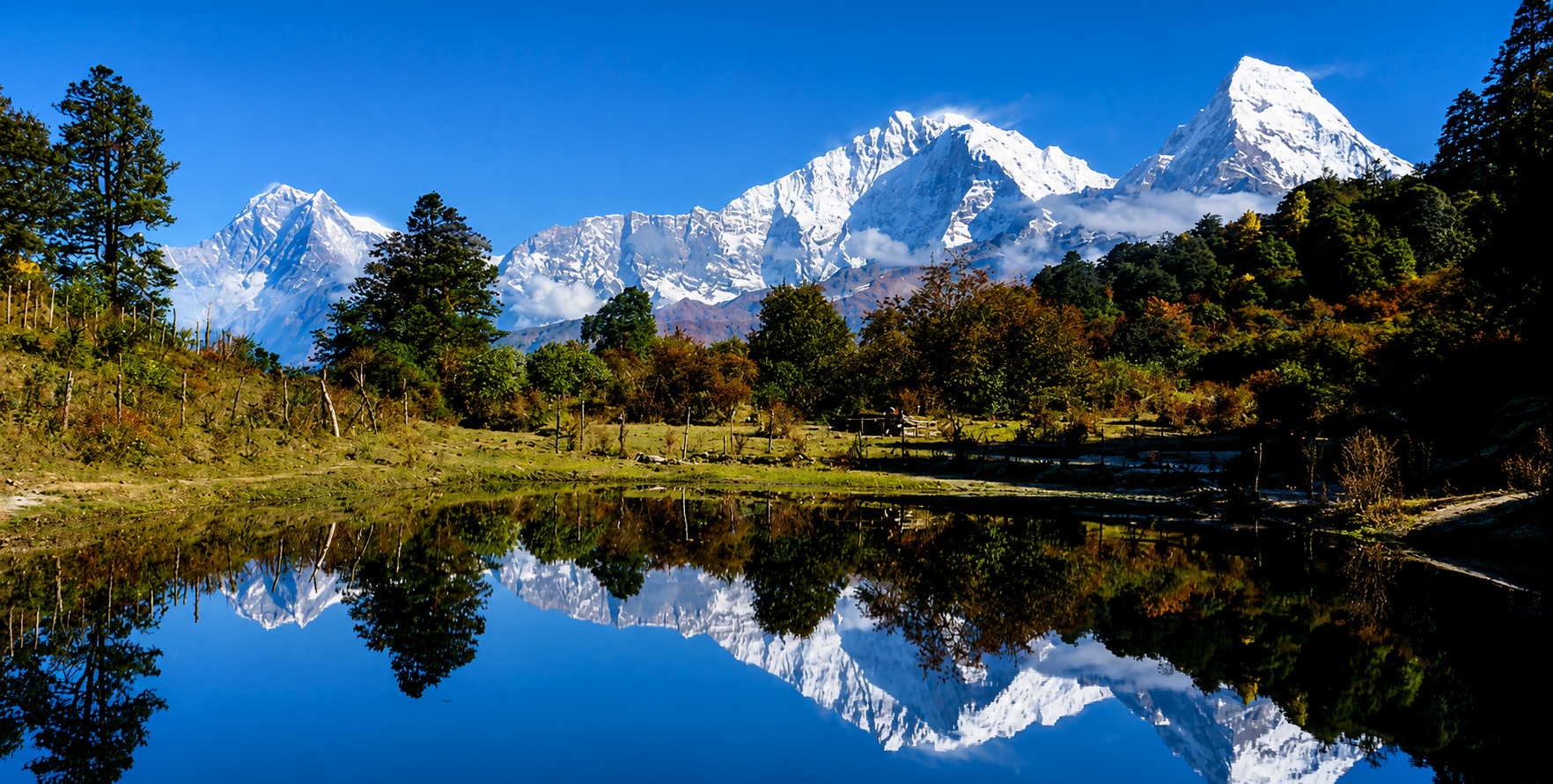
Trekker obtaining MCAP Permit guide for the Manaslu Conservation Area in Nepal
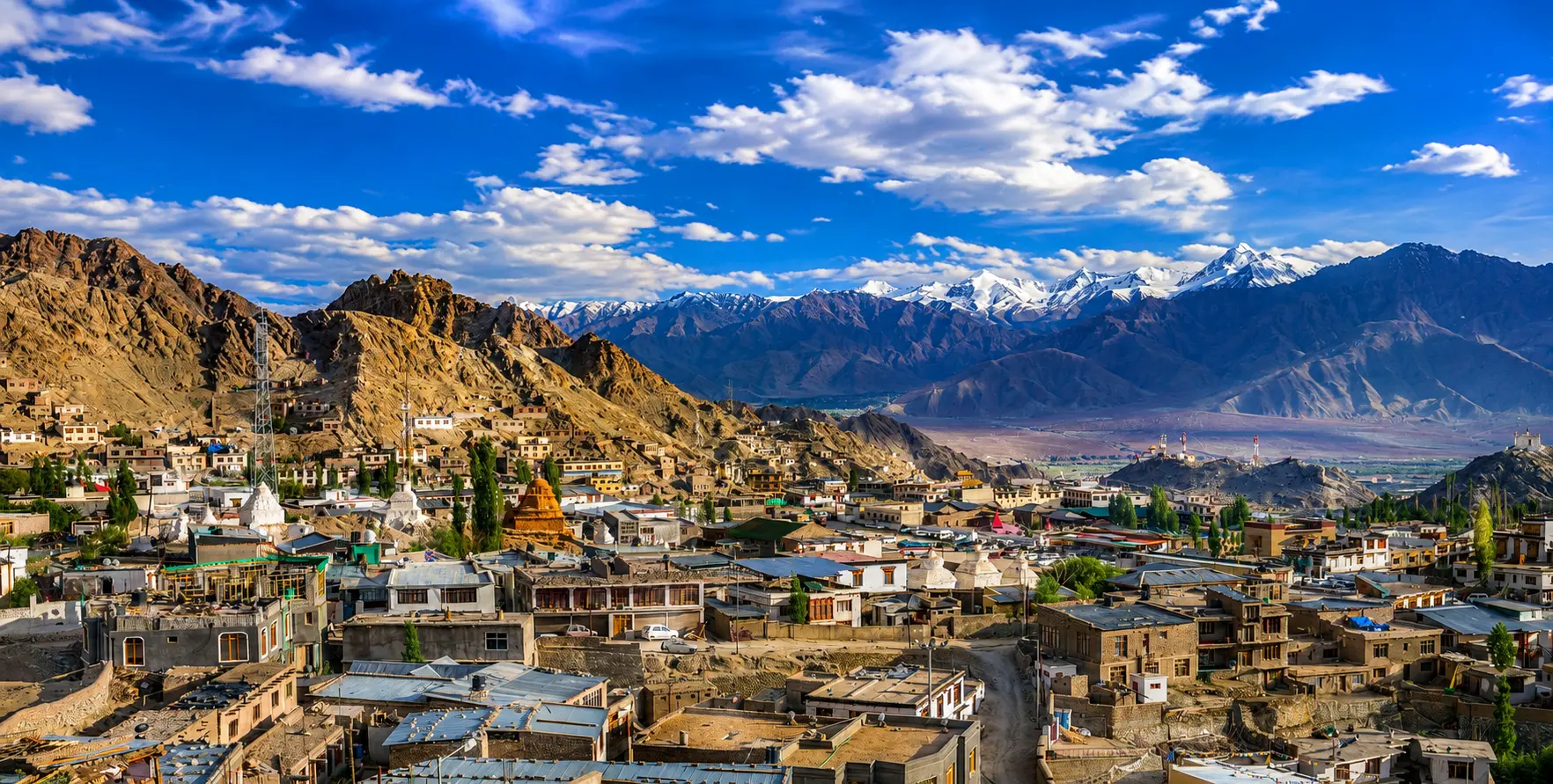
Manaslu-Conservation-Area-in-Nepal

The Manaslu Conservation Area Permit derives its authority from Nepal’s National Parks and Wildlife Conservation Act 2029 (1973 in the Western calendar), which establishes the legal framework for all protected areas in Nepal, and from the specific management regulations established by the NTNC for the Manaslu Conservation Area following its formal gazette notification in 1998. Under this framework, entry into the Manaslu Conservation Area by any person without a valid entry permit constitutes a punishable offense, and conservation area staff and associated security personnel are authorized to turn back, detain, or impose fines on individuals found inside the conservation area without the required documentation.

The permit system is implemented through a network of entry and checkpoint offices distributed along the trekking routes that access the conservation area. The primary entry permit must be obtained before reaching the first checkpoint, which is located near Arughat or Soti Khola for most trekkers approaching the Manaslu Circuit from Kathmandu, or near Dharapani for those approaching from the Annapurna Circuit. This requirement is strictly enforced, and the consequences of attempting to enter without a permit — including significant fines, forced return, and the loss of the entire investment made in reaching the trailhead — make obtaining a permit in advance not merely advisable but essential.

What the MCAP Is and Is Not

Understanding precisely what the MCAP covers and what it does not is important for planning purposes, since the Manaslu Circuit’s full permit requirement involves three separate documents whose scope and issuing authorities differ in ways that trekkers sometimes find confusing. The MCAP specifically authorizes entry into the Manaslu Conservation Area — the protected landscape managed by the NTNC. It covers the full trail from the lower-valley entry point near Arughat or Soti Khola through the conservation area, specifically from the village of Philim, where the conservation area boundary is officially located, all the way to the area’s exit at Dharapani, where the Manaslu Circuit connects with the Annapurna Circuit.

Critically, the MCAP does not authorize entry into the Restricted Area that lies within the conservation area. The section of the Manaslu Circuit between Jagat and Sama Gaon — roughly the middle section of the route through the high valley — constitutes a designated Restricted Area under Nepal’s foreign travel regulations, governed not by the NTNC but by the Department of Immigration through a separate permit instrument: the Restricted Area Permit (RAP).

A trekker who holds only the MCAP can legally enter the conservation area up to Jagat from the south, and beyond Sama Gaon from the north toward Dharapani, but cannot legally enter the zone between these two villages without also holding a valid RAP. In practice, all trekkers completing the Manaslu Circuit need both the MCAP and the RAP, since the Larkya La Pass crossing — the circuit’s defining high point — lies within the restricted zone.

The ACAP is the third permit, required for the section of the Manaslu Circuit that exits the Manaslu Conservation Area and enters the Annapurna Conservation Area near Dharapani as trekkers descend toward Besisahar and the end of the circuit. Even trekkers who do not intend to continue on the Annapurna Circuit beyond Dharapani must hold a valid ACAP to legally pass through the Dharapani area and out to the Besisahar road. The boundary between the two conservation areas is not a line that can be easily skirted, and checkpoint staff at Dharapani verify ACAP possession as part of the standard permit inspection for all trekkers exiting the Manaslu route.
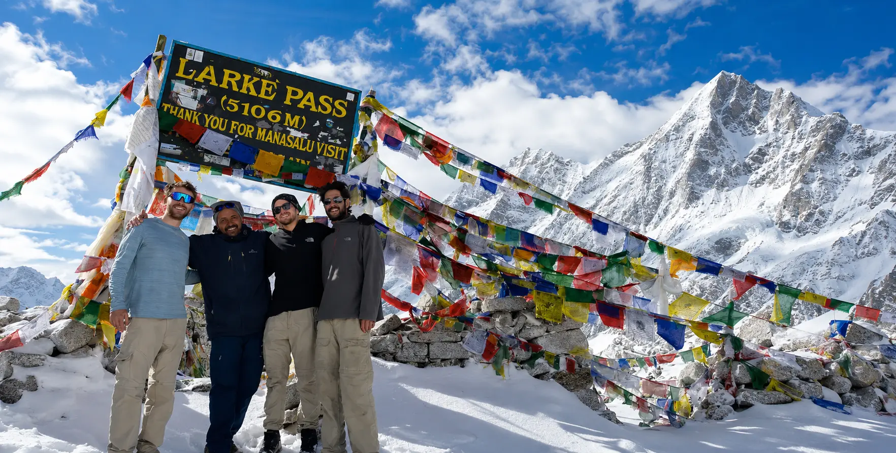
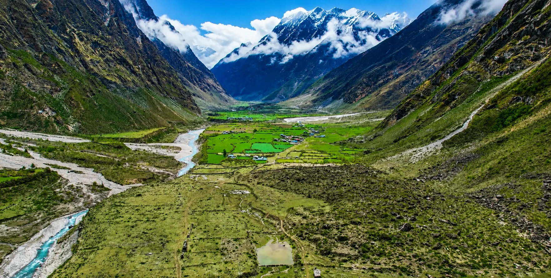
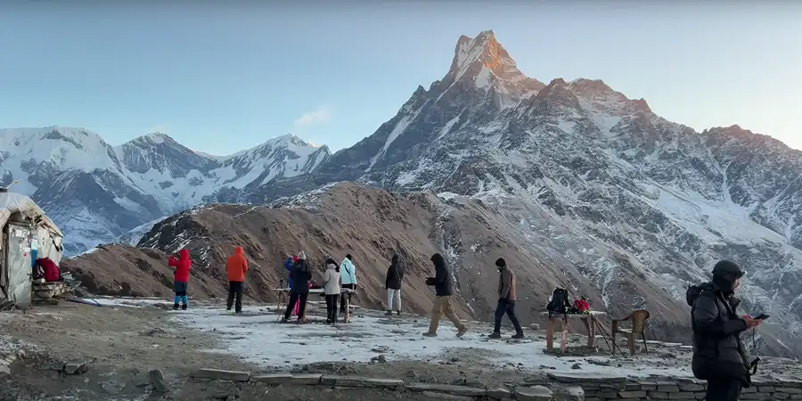
Trekker obtaining MCAP Permit guide for the Manaslu Conservation Area in Nepal
larke-la-pass

MCAP Permit Cost Complete Breakdown by Nationality

The MCAP permit fee structure is among the most straightforward of the three Manaslu Circuit permits, with a flat per-person rate that does not vary by season, visit duration, or number of days spent within the conservation area. This simplicity distinguishes it from the RAP, which applies different rates by season and adds daily fees beyond the first week. The MCAP is a one-time entry fee: pay it once, carry the resulting permit, and it authorizes your complete traverse of the Manaslu Conservation Area regardless of how many days you spend within it.

For foreign nationals who are not citizens of SAARC member states — meaning the vast majority of international trekkers from Europe, North America, Australia, East Asia, and elsewhere outside South Asia — the MCAP currently costs NPR 3,000 per person, equivalent to approximately USD 22-25 at current exchange rates. Multiple verified sources across the period 2025 to 2026 confirm this figure as the current rate, with one source noting the equivalent as NPR 3,000 or USD 22.46 per person. Payment is made in Nepali rupees at Nepal Tourism Board offices, and the USD equivalent is informational rather than an alternative currency for payment — permit fees at Nepal’s government offices are settled in NPR.

For citizens of SAARC member nations — India, Bangladesh, Sri Lanka, Pakistan, Afghanistan, Bhutan, and the Maldives — the MCAP fee is NPR 1,000 per person, reflecting the preferential rate structure that Nepal applies to visitors from neighboring South Asian countries across most of its protected-area permit system. Nepali citizens who require a conservation area entry permit for their activities within the MCA pay NPR 100 per person. Children under ten years of age are exempt from the MCAP fee entirely, making it one of the few Manaslu Circuit permit components that do not apply to young children in trekking families.

It is important to note that permit fee rates in Nepal are subject to periodic government revision, and while the NPR 3,000 figure for non-SAARC foreigners has remained stable across the 2025/26 period covered by this guide’s research, trekkers planning journeys further into the future should verify current rates with the Nepal Tourism Board or a registered trekking agency before finalizing their budget. The Nepal Tourism Board’s official offices in Kathmandu, at Bhrikutimandap, are open Sunday through Saturday, except on public holidays, from 9 AM to 5 PM, and provide authoritative, up-to-date information on all conservation area permit fees.

Complete Manaslu Circuit Permit Cost Summary

PermitNon-SAARC (NPR)Non-SAARC (USD)SAARC (NPR)Seasonal Variation
MCAP (Manaslu Conservation Area Permit)NPR 3,000~USD 22–25NPR 1,000None — flat fee year-round
ACAP (Annapurna Conservation Area Permit)NPR 3,000~USD 22–25NPR 1,000None — flat fee year-round
RAP (Restricted Area Permit) — Sep to NovUSD 100 first weekN/A+ USD 15/day from day 8
RAP (Restricted Area Permit) — Dec to AugUSD 75 first weekN/A+ USD 10/day from day 8
Tsum Valley RAP (optional extension)USD 35/weekN/AIn addition to the main RAP
TIMS Card (not required for Manaslu)NPR 2,000 (if needed)~USD 15–16NPR 1,000Not required with RAP in place
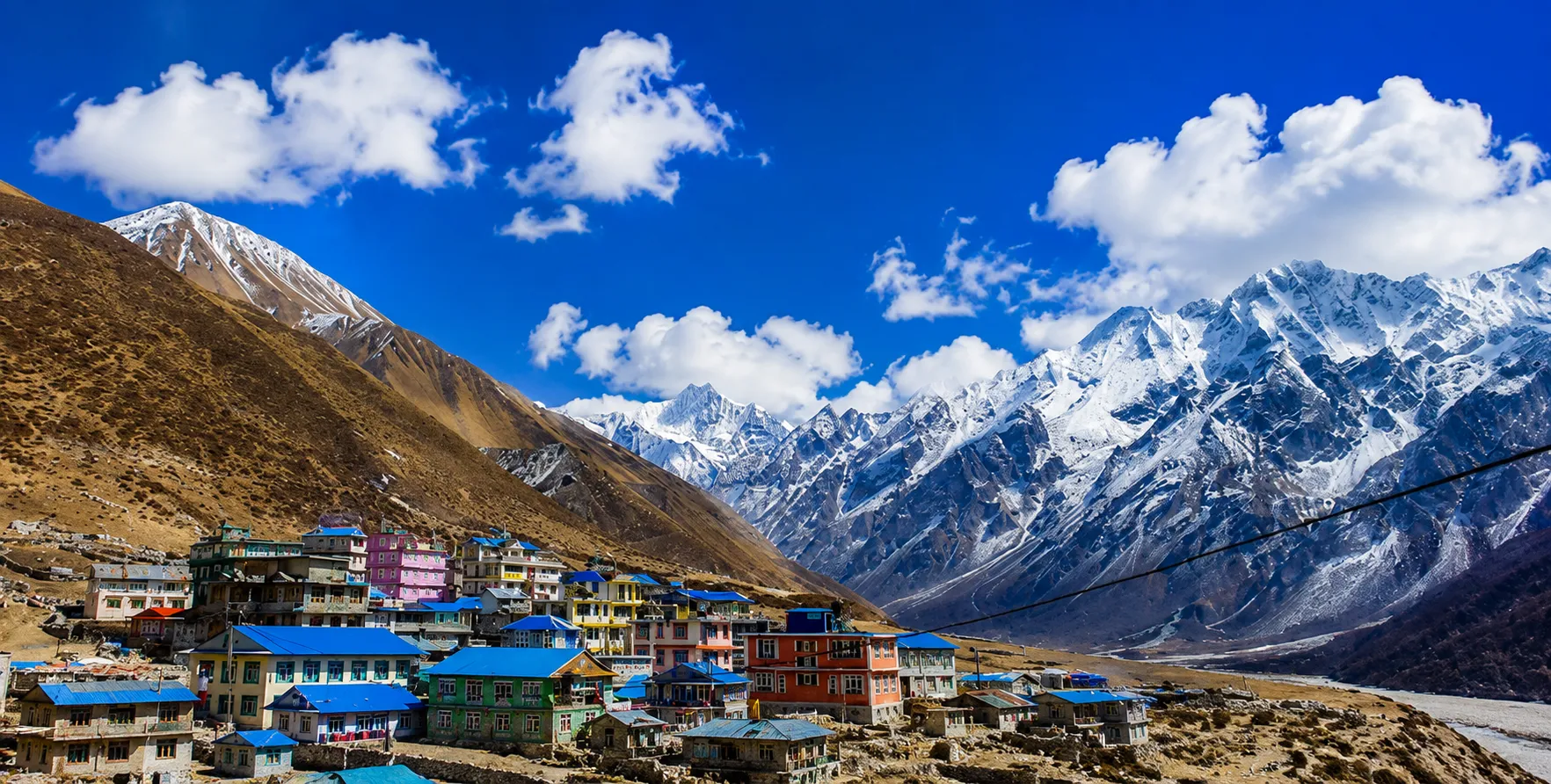
Trekker with MCAP Permit guide for the Manaslu Circuit and Tsum Valley Trek in Nepal
Manaslu Circuit and Tsum Valley Trek.

How to Obtain the MCAP: Step-by-Step Process

The Application Route

The MCAP can be obtained either directly from the Nepal Tourism Board offices in Kathmandu or Pokhara, or through a registered trekking agency on the trekker’s behalf. In practice, the overwhelming majority of trekkers obtain all three Manaslu Circuit permits — MCAP, ACAP, and RAP — simultaneously through their registered trekking agency, since this consolidated approach eliminates the need for multiple separate visits to different government offices and ensures that permit applications are processed by staff familiar with the specific documentation requirements and procedural steps involved. The Restricted Area Permit, in particular, can only be issued through a registered trekking agency and cannot be obtained by individual trekkers directly from the Department of Immigration — making agency involvement not just convenient but mandatory for at least one component of the full permit set.

For trekkers who prefer to handle permit acquisition themselves — perhaps those who have arranged their trek independently and need to manage the administrative side directly — the process begins with the Nepal Tourism Board office in Kathmandu at Bhrikutimandap. The MCAP and ACAP can be applied for and issued at this office without agency assistance, provided the applicant presents the correct documentation and fee. The office accepts only cash payment in Nepali rupees, so trekkers should ensure they have the appropriate amount in NPR before visiting. Recent sources confirm that the application process has been partially digitized, with online application forms available for submission in advance, reducing the time required at the physical office for verification and permit printing, and thereby shortening the overall application process.

Required Documents for MCAP Application

The documentation required for the MCAP application is straightforward compared to the more extensive requirements of the RAP. The core requirements, confirmed across multiple current sources, are as follows. A valid passport with at least 6 months’ remaining validity at the time of the trek is the primary identification document required. Two printed passport-sized photographs are required for the physical permit, which is produced as a laminated card featuring the trekker’s photograph alongside their permit details. This physical permit must be carried on the trail at all times and presented at checkpoints along the route. A completed application form, either filled out at the Nepal Tourism Board office or submitted online in advance, must accompany the other documents. Proof of payment of the permit fee, in NPR at the issuing office, completes the documentation requirement.

One important practical point: passport photographs for the MCAP must be printed physical photographs rather than digital images, since the permit production process requires physical photos for lamination. Trekkers who arrive at the Nepal Tourism Board without printed photographs can typically find photo services at nearby shops in the Bhrikutimandap area or in the broader Thamel district, but building this into the plan rather than discovering the need at the office saves time and reduces the stress of last-minute scrambling before a permit-sensitive departure date.
YouTube video

Processing Time and Practical Logistics

Under normal circumstances, the MCAP is issued on the same day as the application, typically within 1 to 2 hours of submitting the completed application and fee to the Nepal Tourism Board. The Department of Immigration, which issues the RAP, has a somewhat longer processing time — typically a minimum of one and a half hours for standard applications through the full official verification process involving multiple officers and ultimately the signature of the Director General of Immigration. Processing times may be longer if the online system is unavailable and the application must be processed manually, which occasionally occurs during busy periods or technical outages.

These processing realities translate into a practical recommendation that trekkers allow a full day in Kathmandu specifically for permit processing, preferably two to three working days before their planned departure for the trailhead. Attempting to process all three Manaslu Circuit permits the day before departure introduces significant risk: any delay in processing — system outage, documentation gap, or a longer-than-expected queue at either office — could result in missing a planned departure, with cascading consequences for a tightly scheduled itinerary. Investing an extra day in Kathmandu for comfortable permit processing is considerably less costly than the alternatives.

Tip: Most experienced Manaslu Circuit operators recommend arriving in Kathmandu at least three to four days before your intended trailhead departure date, using the extra time to process permits at a comfortable pace, acclimatize slightly to Nepal’s climate and timezone, explore Kathmandu’s extraordinary cultural sites, and complete any remaining gear or supply acquisitions before heading north toward the mountains.

The Restricted Area Permit: The MCAP’s Essential Companion

No guide to the MCAP would be complete without a thorough treatment of the Restricted Area Permit, since the two documents are functionally inseparable for any trekker completing the standard Manaslu Circuit. The RAP governs access to the zone of the Manaslu Circuit that lies between Jagat and Sama Gaon — the section of the route most immediately approaching the Nepal-Tibet border. It is this proximity to the border, combined with the desire to protect both the fragile cultural ecosystem of the Nubri communities and the politically sensitive border zone itself, that motivates the designation of a restricted area.

Nepal’s government has classified the Manaslu region as a restricted area since trekking was first opened there in 1991, a designation that has been maintained and refined over the intervening three decades as the trekking industry has grown. The management of visitor impacts on remote cultural and natural landscapes has improved. The restricted area status serves multiple concurrent purposes: it controls the total number of visitors in a zone where infrastructure is limited and cultural communities are vulnerable to rapid change; it maintains a security buffer near the Chinese border that Nepal’s government considers prudent regardless of trekking considerations; it requires the engagement of local guides, supporting the economy of communities within the restricted zone; and it generates the premium permit fee revenue that funds a larger share of conservation and community development spending than the lower-cost conservation area permits can support.

The RAP is issued exclusively through registered trekking agencies — a requirement that cannot be circumvented through any combination of individual applications or government office visits. The application requires passport details, a valid Nepal visa, a completed online application form, payment of the applicable fee, and the agency’s sponsorship letter confirming that the applying agency is serving the trekker. The permit itself is a laminated document in a format similar to the MCAP, produced after a multi-stage verification process at the Department of Immigration that involves at least three officers and the Director General’s signature. This process reflects the higher security sensitivity associated with restricted-area access compared to standard conservation-area permits.

The RAP fee structure, unlike the flat-fee MCAP, is both season-sensitive and duration-sensitive. During the peak season from September through November, the RAP costs USD 100 per person for the first 7 days within the restricted zone, plus USD 15 per person per day from the 8th day onward. In the off-peak season from December through August, the first-week rate drops to USD 75 per person, with an additional USD 10 per person per day from day 8 onward. For standard Manaslu Circuit itineraries of eleven to fourteen days — in which the restricted zone section between Jagat and Sama Gaon typically accounts for seven to ten days of the total trek — the RAP alone constitutes the largest single permit cost component, significantly exceeding the combined MCAP and ACAP fees.
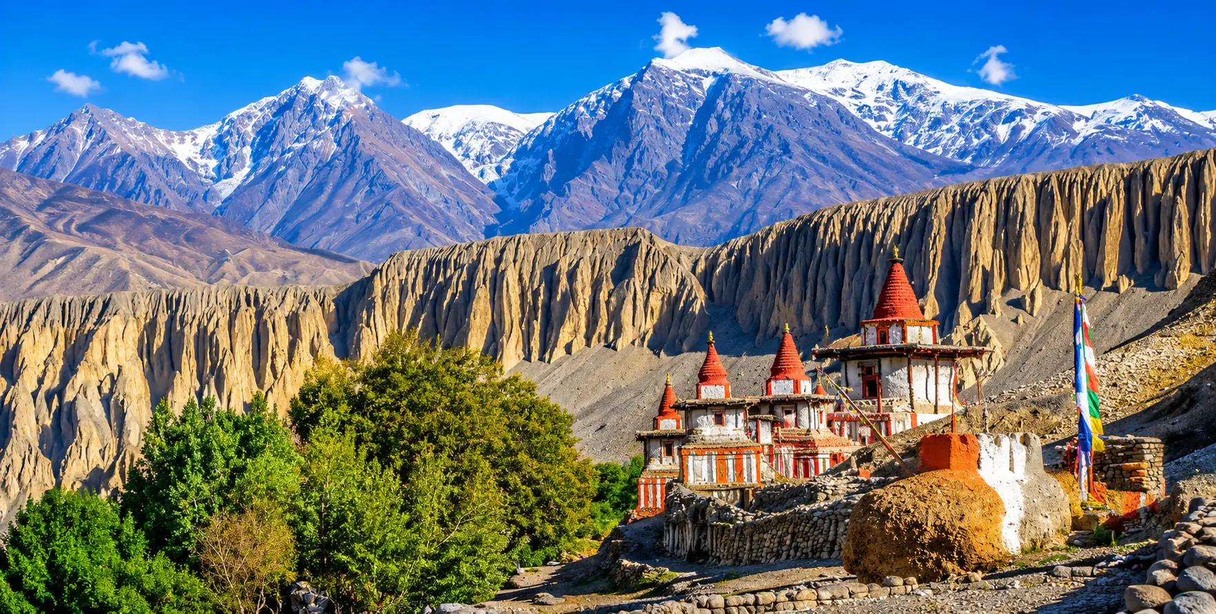
Trekker with MCAP Permit guide for the Manaslu Circuit and Tsum Valley Trek in Nepal
Manaslu Circuit and Tsum Valley Trek.

The Annapurna Conservation Area Permit: The Circuit’s Exit Permit

The requirement for an Annapurna Conservation Area Permit on the Manaslu Circuit surprises many trekkers who do not initially appreciate the geographic continuity between the two conservation areas at the trek’s southern exit near Dharapani. The Manaslu Circuit Trek, as classically completed, does not end at the edge of the Manaslu Conservation Area but continues southward through the lower Marsyangdi valley to the road at Besisahar or onward to Kathmandu — a journey that necessarily passes through the territory managed by the Annapurna Conservation Area Project from approximately Dharapani southward.

The ACAP fee mirrors the MCAP in its structure: NPR 3,000 for non-SAARC foreigners, NPR 1,000 for SAARC nationals, with no seasonal variation and no daily fee beyond the flat one-time rate. The ACAP is issued by the same Nepal Tourism Board offices as the MCAP, can be obtained simultaneously with the MCAP in the same visit, and requires the same documentation — passport, passport photos, and the completed application with fee. For most trekkers, acquiring MCAP and ACAP together at a single Nepal Tourism Board visit is the most efficient approach, reducing the total government office time required for conservation area permits to a single transaction.

Some trekking operators and independent trekkers occasionally question whether the ACAP is strictly necessary when their Manaslu Circuit exit route avoids entering the Annapurna Conservation Area — for example, by arranging vehicle pickup in Dharapani before crossing the ACAP boundary. This question deserves an honest answer: the boundary between the two conservation areas near Dharapani is a physical geographic line with a checkpoint, and the interpretation of exactly where trekkers must hold an ACAP can depend on the specific route taken from the Manaslu exit through to the road. The safest and most reliably compliance-ensuring approach is to obtain the ACAP as part of the standard permit set before departing Kathmandu, since the cost is modest, the acquisition is simple, and the alternative of being turned back at a Dharapani checkpoint because of a missing ACAP — after completing a demanding 14-day circuit — is a consequence out of all proportion to the inconvenience of having the permit in hand from the outset.


The Tsum Valley Extension: Additional Permit Requirements

Tsum Valley, accessible via a branch trail from the main Manaslu Circuit route near Chumling, is one of Nepal’s most extraordinary off-the-beaten-path trekking destinations and is chosen by an increasing proportion of Manaslu Circuit trekkers as a significant extension of their journey. The Tsumba people who inhabit this isolated lateral valley are among the most perfectly culturally preserved Tibetan Buddhist communities accessible to trekkers anywhere in Nepal — their villages, monasteries, festivals, and daily practices maintaining a traditional character that the more accessible communities of the main Manaslu Circuit have inevitably modified somewhat through greater exposure to the trekking economy.
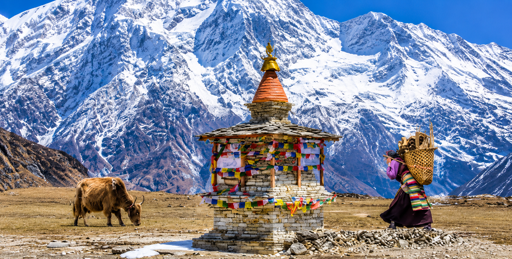
Trekker with MCAP Permit guide for the Manaslu Circuit and Tsum Valley Trek in Nepal
Manaslu Circuit and Tsum Valley Trek.

Entering Tsum Valley requires an additional Restricted Area Permit beyond the standard Manaslu Circuit RAP, since the valley lies within a separately designated restricted zone. The Tsum Valley Restricted Area Permit costs USD 35 per person per week, and the entry duration is typically calculated from the point of entering the Tsum Valley trail junction to the point of returning to the main Manaslu Circuit route.

Tsum Valley extensions require approximately one to two weeks of trekking, making the permit cost either USD 35 or USD 70 per person, depending on itinerary length. Additionally, the Tsum Valley extension route passes through portions of the Annapurna Conservation Area on its approach from the main circuit junction, making an ACAP permit relevant for this extension and reinforcing its value even for trekkers who might otherwise question the necessity of ACA  on the standard circuit.


The application process for the Tsum Valley RAP follows the same agency-only channel as the main Manaslu RAP. It requires submission through a registered trekking company with the applicable documentation. Because the Tsum Valley is even more remote and less-developed than the main Manaslu Circuit in terms of its teahouse infrastructure, and because conservation managers regard the cultural sensitivity of access to its communities as higher than the main valley, the RAP system’s role in regulating and limiting access to Tsum is particularly important.

The relatively small number of trekkers who complete the full Tsum Valley extension each season — compared to the main circuit — is a direct result of the permit requirement and the additional time commitment involved, and the cultural preservation benefit of this lower traffic is widely recognized by researchers studying the relationship between tourism access and cultural change in Himalayan communities.

Permit Checkpoints on the Manaslu Circuit: Where and What to Expect

Understanding the checkpoint system on the Manaslu Circuit helps trekkers prepare for the permit inspection process, rather than being caught off guard by the frequency and thoroughness of document verification along the route. The Manaslu Circuit is one of Nepal’s most systematically checkpoint-monitored trekking routes, reflecting both its restricted-area status and the government’s emphasis on ensuring that only properly permitted visitors access the region.

The first major checkpoint is located at or near the entry to the Manaslu Conservation Area, typically at Arughat or, more commonly, at the trail entry points near Soti Khola, where rangers verify that trekkers hold a valid MCAP and record their entry. This is usually where the MCAP is first scrutinized and its details — including the trekker’s photograph, name, nationality, and permit number — are cross-referenced against the physical permit document. A second checkpoint at Jagat marks the entry to the Restricted Area, where RAP documents are verified with particular care, given the higher security sensitivity of the restricted zone beyond. Additional checkpoints at Chumling (where Tsum Valley permits are checked for those entering that extension), at Sama Gaon, and at Dharapani verify permit possession at the end of the restricted zone and at the transition to the Annapurna Conservation Area, respectively.

At each checkpoint, trekkers should expect to present all permit documents simultaneously — MCAP, RAP, and ACAP — along with their passport, which serves as the primary identification document for verifying permit names and photographs. The checkpoint process is generally thorough but not lengthy for trekkers with complete documentation; the most common source of significant delay at checkpoints is missing or incomplete documents, which can result in trekkers being held at the checkpoint while the issuing agency is contacted for verification or, in the worst case, being turned back from the restricted zone entry altogether. This possibility — turning back at Jagat after three or four days of trekking from the road because of a missing RAP — is one of the most significant preventable risks in Manaslu Circuit planning and is entirely avoidable through proper advance permit acquisition.

Permits must be carried physically, not stored as digital images on a phone or other device. The checkpoint process involves a physical inspection of the permit document, including an examination of the photograph lamination to confirm that the permit has not been transferred from another person. Given that permits are explicitly non-transferable and non-refundable, and that they identify the holder’s photograph on the face of the document, any attempt to use another person’s permit would be both illegal and immediately detectable at the first checkpoint.


Trekking without valid MCAP, RAP, and ACAP in the Manaslu Circuit region is an offense under Nepal’s National Parks and Wildlife Conservation Act. Violations can result in significant fines, immediate expulsion from the conservation area, and potential complications with future Nepal visa applications. No exceptions are made for missing documentation — ensure all three permits are in your possession before leaving Kathmandu.
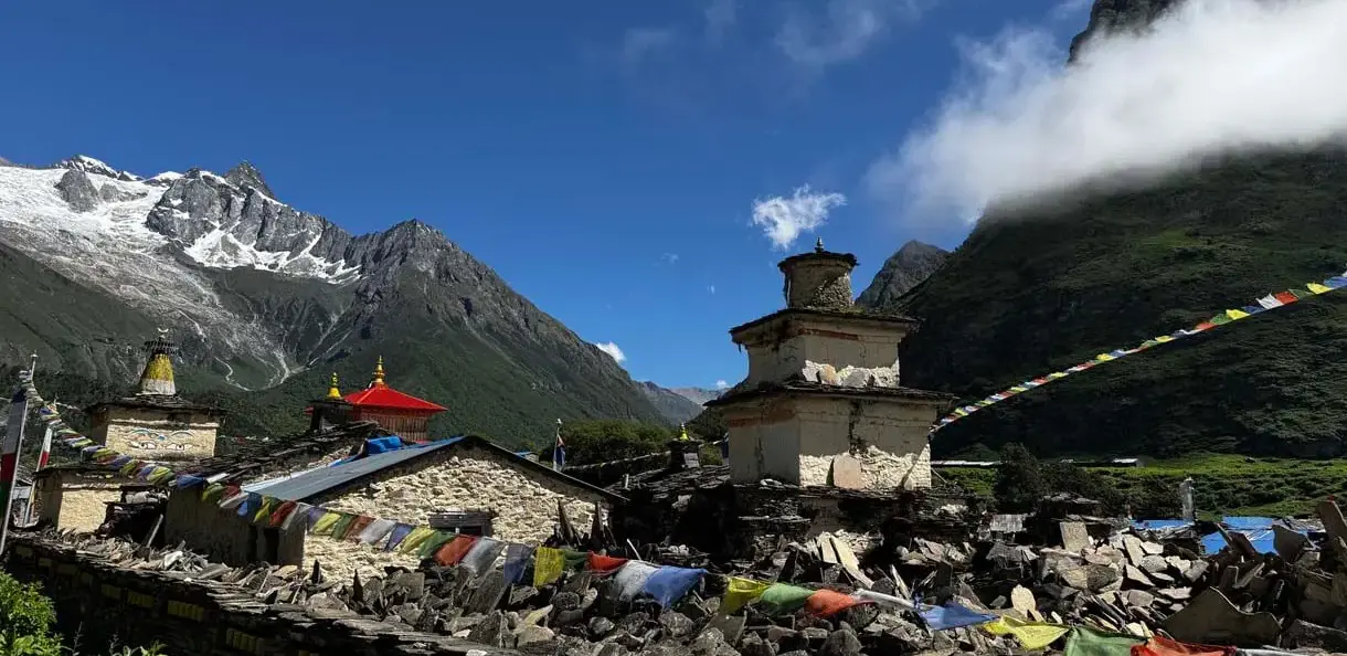
 

Trekker with MCAP Permit guide for the Manaslu Circuit and Tsum Valley Trek in Nepal
Manaslu Circuit and Tsum Valley Trek.

Where the Permit Fees Go: Conservation and Community Impact

The question of what permit fees actually accomplish — beyond their function as entry tickets into a protected landscape — is one that many trekkers ask but to which few receive a satisfying answer. Understanding the answer in the case of the MCAP requires understanding both the institutional structure of the NTNC, which manages the Manaslu Conservation Area’s revenue and expenditure, and the specific program areas that conservation area permit income has historically supported.

The NTNC’s approach to Manaslu Conservation Area management explicitly links permit revenue to four priority areas: biodiversity conservation and wildlife monitoring; trail and infrastructure maintenance within the conservation area; community development projects in the villages along the trekking routes; and the administrative costs of the conservation area management system itself. In practice, this means that a meaningful portion of each NPR 3,000 MCAP fee flows into programs that directly benefit both the natural systems and the human communities that the permit system is designed to protect.

Biodiversity conservation spending in the Manaslu Conservation Area has supported wildlife monitoring programs for snow leopard, red panda, and Himalayan tahr populations in the high-altitude zones above the main trekking corridor, as well as habitat restoration work in lower-altitude forest zones affected by fuel wood collection pressures from communities within the area. The NTNC has collaborated with international conservation organizations, including the WWF and the IUCN, on specific program elements, bringing both additional funding and technical expertise to MCA conservation work that NTNC’s own resources alone could not have sustained.

Community development spending from MCA permit revenue has funded primary school improvements, basic health post infrastructure, drinking water system development, and small-scale livelihood support programmes in the villages most directly affected by trekking traffic — an allocation that reflects the conservation area management model’s commitment to ensuring that the communities living within the protected landscape benefit tangibly from the revenues generated by visitors who come specifically to experience the remarkable landscape and culture those communities have maintained. This community benefit dimension is also a significant factor in the ongoing willingness of local communities to support conservation measures rather than oppose them as constraints on their livelihood options.

Trail maintenance spending has funded the construction and repair of bridges, stone stairways, and trail surfaces along the Manaslu Circuit — physical infrastructure that benefits trekkers directly while also improving year-round access for local communities to essential services and markets. The extraordinary quality of some of the trail infrastructure in the Manaslu Conservation Area — particularly the suspended bridges over the Budhi Gandaki gorge — reflects the NTNC’s investment of permit revenue in engineering solutions that balance trekker safety with environmental appropriateness in a landscape where large-scale construction would be both ecologically damaging and practically impossible.
Trekker with MCAP Permit guide for the Manaslu Circuit and Tsum Valley Trek in Nepal
jeep-hire-for-manaslu-trek-service

Getting to the Manaslu Circuit Trailhead: Vehicle Hire from Kathmandu

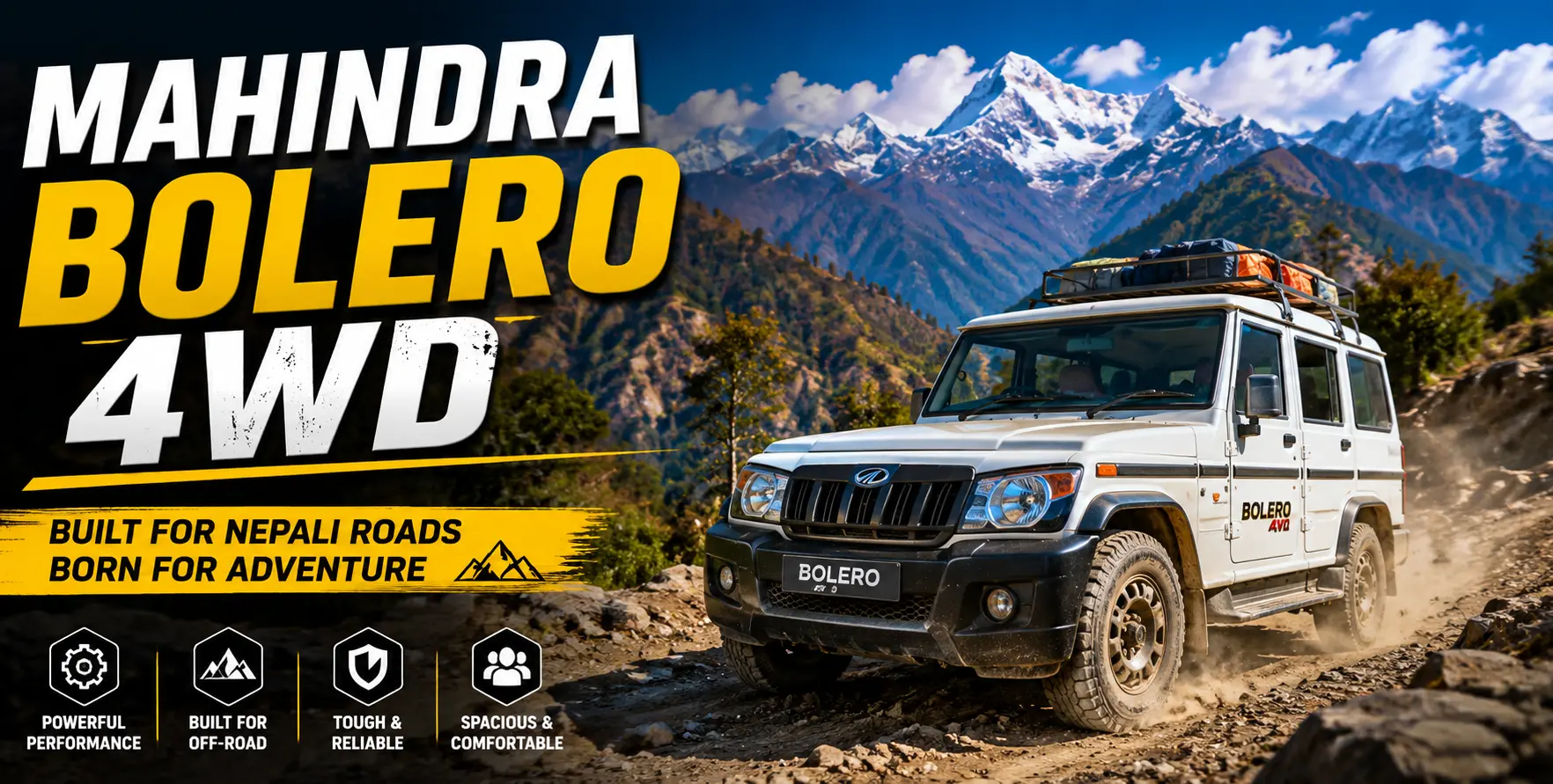
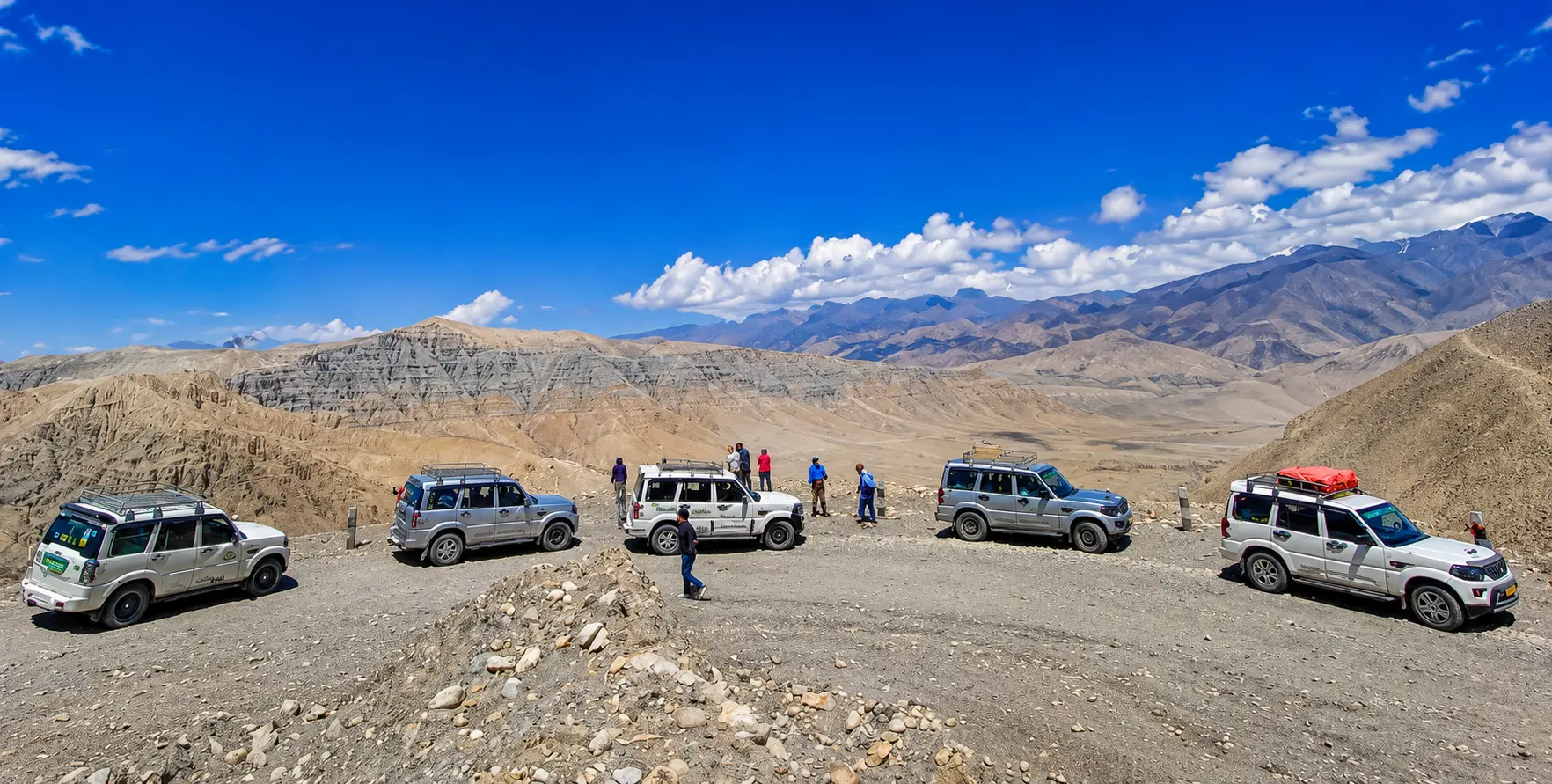
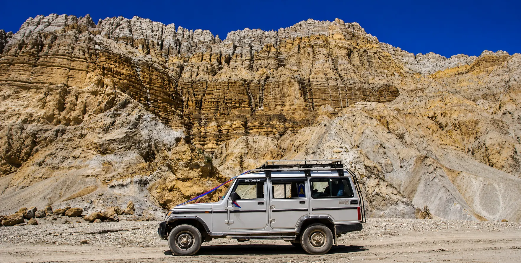
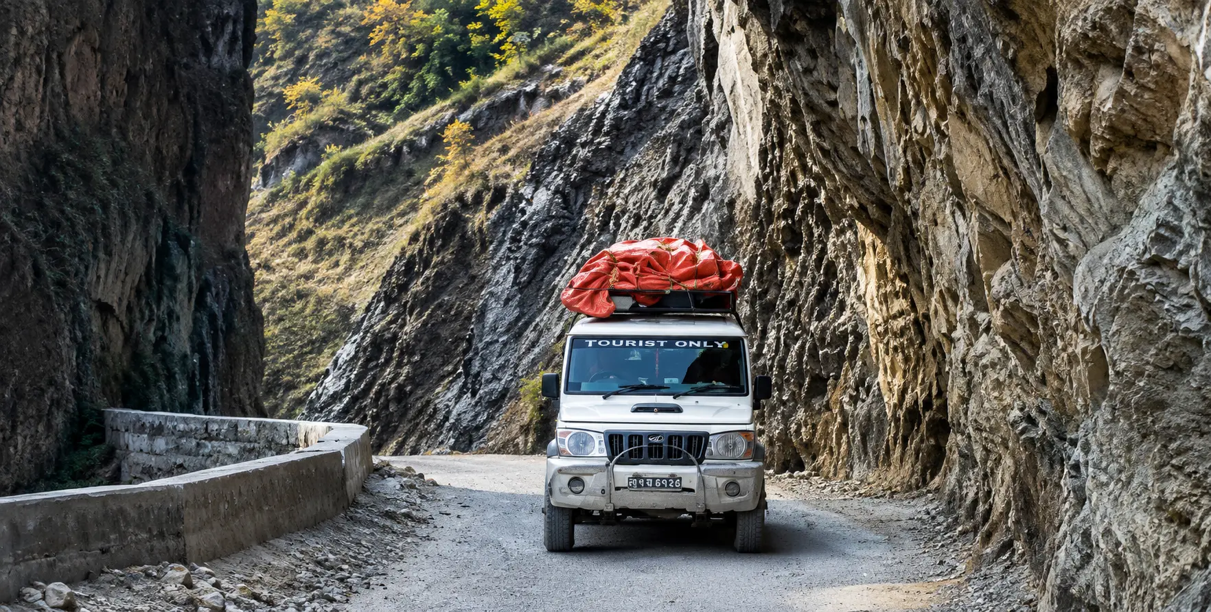
With permits secured in Kathmandu, the trekker’s attention turns to reaching the Manaslu Circuit trailhead — a journey that requires a dedicated 4WD hire for the approach roads from Kathmandu to the starting points at Arughat Bazaar or Soti Khola, both of which involve road conditions that demand appropriate vehicles and experienced drivers.

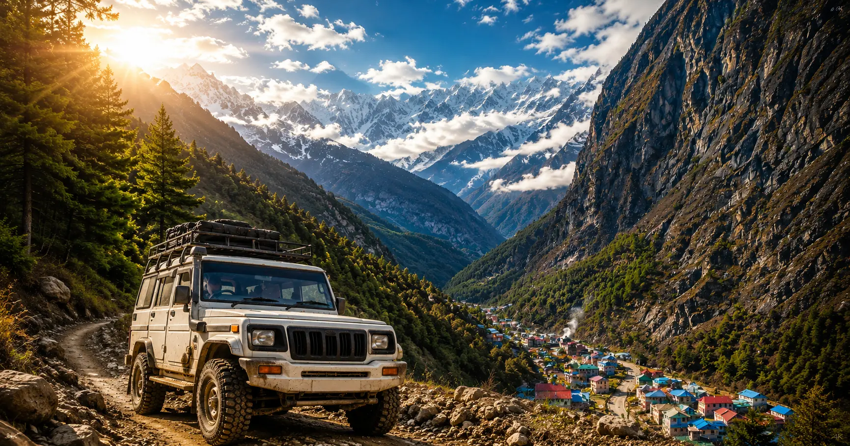
The approach to Arughat, the more commonly used northern trailhead for the Manaslu Circuit, covers approximately 140 to 150 kilometers from Kathmandu and takes six to eight hours by private 4WD jeep. The route follows the Prithvi Highway westward from Kathmandu, then turns north toward Gorkha town and continues along increasingly rough roads to Arughat itself. The road quality deteriorates significantly beyond Gorkha town, with sections of loose gravel, narrow lanes, and occasional rough patches that call for a vehicle with good ground clearance and a driver experienced on this specific approach road. From Arughat, many trekkers also arrange a local jeep transfer of approximately three to four hours to Soti Khola or Machha Khola, pushing the walking start point deeper into the valley and saving a day’s road walking on a route that, beyond Arughat, remains drivable for experienced jeep operators.

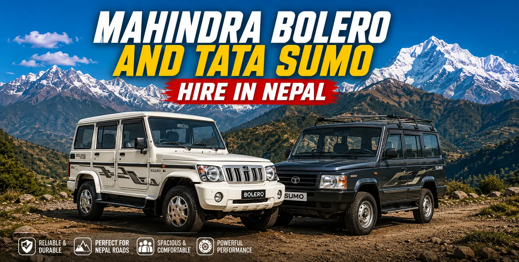
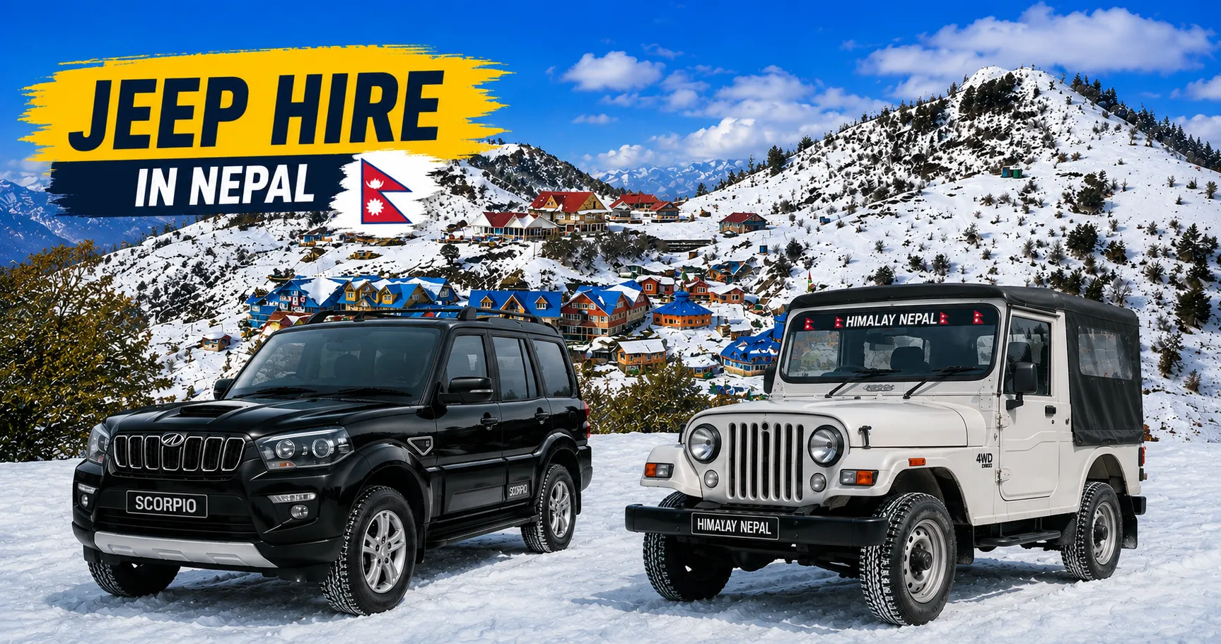
Nepal Vehicle Hiring Pvt Ltd (vehiclehiringnepal.com) provides private 4WD jeep hire for the Kathmandu-to-Arughat and Kathmandu-to-SotiKholaa approach roads, with vehicles specifically maintained for these route conditions and drivers who have completed these routes multiple times. Our current pricing for the Kathmandu to Arughat transfer ranges from NPR 18,000 to NPR 28,000 for a full private vehicle that accommodates up to six passengers with trekking gear. The Kathmandu-to-Soti Khola transfer, including the additional rough road beyond Arughat, costs NPR 22,000 to 32,000 for the full vehicle. All rates are fully inclusive of vehicle, driver, fuel, and tolls.

For trekkers completing the Manaslu Circuit in the standard direction — entering from Arughat or Soti Khola and exiting near Dharapani — the return transport from the circuit exit point near Dharapani to Kathmandu typically follows the Besisahar highway corridor, with a private vehicle transfer of approximately four to five hours covering the 175 kilometers from Besisahar to Kathmandu. Pre-arranging this return transfer through Nepal Vehicle Hiring Pvt Ltd eliminates the uncertainty of finding transport in Dharapani or Besisahar at the end of a physically demanding circuit. It allows trekkers to reach their Kathmandu hotel at a predictable time rather than waiting for whatever shared transport might be available.

Frequently Asked Questions About the MCAP Permit

Can I obtain the MCAP permit without a trekking agency?

Yes — the MCAP and ACAP can be obtained directly from the Nepal Tourism Board offices in Kathmandu or Pokhara without involving a trekking agency, provided you have the required documents and fee in NPR. The Restricted Area Permit, however, can only be issued through a registered trekking agency and requires agency involvement. Since all three permits are required for the Manaslu Circuit, agency involvement is effectively mandatory, even though the MCAP and ACAP could theoretically be obtained independently. Most trekkers find it simplest to obtain all three through their agency in a single coordinated process.

Is the MCAP valid for multiple entries or only a single entry?

The MCAP is valid for single entry only and is non-transferable and non-refundable. This means that once you have entered the Manaslu Conservation Area under your MCAP, you cannot use the same permit to re-enter the conservation area after exiting. Trekkers who plan to visit the Manaslu Conservation Area as part of multiple separate trips must obtain a new MCAP for each entry. The single-entry, non-refundable nature of the permit also means that applications should be confirmed only once trek departure dates are firmly established, since a canceled or postponed trek results in a permit fee that cannot be recovered.

Does the MCAP cover the Tsum Valley extension?

No. The MCAP generally covers access to the Manaslu Conservation Area, but entering Tsum Valley requires a separate Restricted Area Permit for Tsum Valley, costing USD 35 per person per week and issued through a registered trekking agency, in the same manner as the main Manaslu RAP. Trekkers who plan a Tsum Valley extension must arrange this additional permit before departing Kathmandu, as it cannot be obtained after reaching the trail junction.

What happens if I lose my MCAP on the trail?

Losing a permit on the Manaslu Circuit is a genuinely problematic situation, since permits are checked at multiple points along the route and a missing document can result in being held at a checkpoint or turned back. The best practical advice is to keep permits in a waterproof document holder at all times and to carry a photocopy as backup reference — though note that photocopies are not accepted as substitutes for the original at official checkpoints. If an original permit is lost, contacting your trekking agency immediately and having them communicate with the issuing authority to establish the permit’s validity may provide some resolution. Still, there is no guaranteed administrative solution once a permit is lost in a remote section of the trail.

Do children need an MCAP?

Children under ten years of age are exempt from the MCAP fee and do not require a separate permit to enter the Manaslu Conservation Area. Children over ten, regardless of age, are subject to the same permit requirements as adult trekkers. Families trekking with children of mixed ages should confirm each child’s age with the Nepal Tourism Board at the time of application to ensure the correct documentation is prepared for all group members.
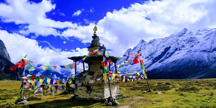
Trekker obtaining MCAP Permit Guide for the Manaslu Conservation Area in Nepal

Conclusion: The MCAP as Gateway and Responsibility

The Manaslu Conservation Area Permit is, at its simplest level, an administrative requirement — a piece of paper without which entry into a protected landscape is illegal and access to one of Nepal’s greatest trekking experiences is impossible. But at a deeper level, the MCAP is something considerably more significant than an entry ticket. It is the point of legal connection between the visiting trekker and the extraordinary landscape and community they are about to experience — the moment at which a person acknowledges, by paying a fee and accepting a document, that the Manaslu Conservation Area exists within a framework of law and management that has been created to protect something worth protecting, and that their presence within it carries both the privilege of access and the responsibility of care.

The Manaslu Conservation Area is home to snow leopards and red pandas, to the ancient monasteries of Nubri, to the time-preserved communities of Tsum, to the glacial grandeur of Manaslu’s southern flanks, and to the extraordinary human achievement of communities that have made meaningful lives in one of Earth’s most demanding environments across many centuries. The NPR 3,000 that a non-SAARC trekker pays for their MCAP is a genuinely modest contribution to the ongoing work of keeping this landscape and these communities in the condition that makes them worth visiting. Understanding what that fee supports — and holding the permit that carries that understanding into the mountains — is part of what distinguishes a genuinely aware trekker from one who passes through.

Nepal Vehicle Hiring Pvt Ltd is proud to support every stage of the Manaslu Circuit adventure, from the initial permit-planning consultation that clients can request alongside their trailhead vehicle booking, through the private 4WD jeep transfers that deliver trekkers to the Arughat or Soti Khola trailheads in the condition that demanding Himalayan trekking demands — well-rested, properly documented, and ready for what the mountains ahead will ask of them.


Book Your Manaslu Circuit Jeep Transfer Today 

E-mail:[email protected]
What APP:+977 9851013196

Kathmandu → Arughat  |  Kathmandu → Soti Khola  |  Dharapani → Kathmandu Return

Private 4WD Jeeps  |   Experienced Mountain Drivers  |  Transparent NPR & USD Pricing  |  24/7 Support
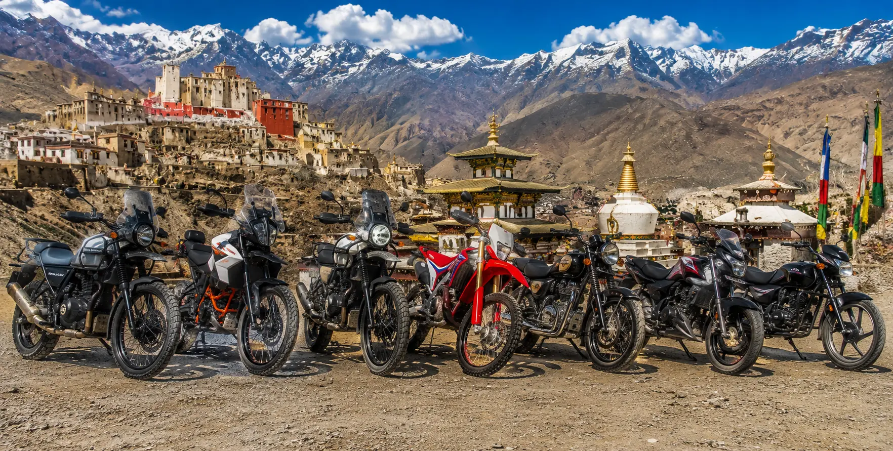
 

Adventure Bike Hire in Nepal: The Complete 2026 Guide to Motorcycle Rentals

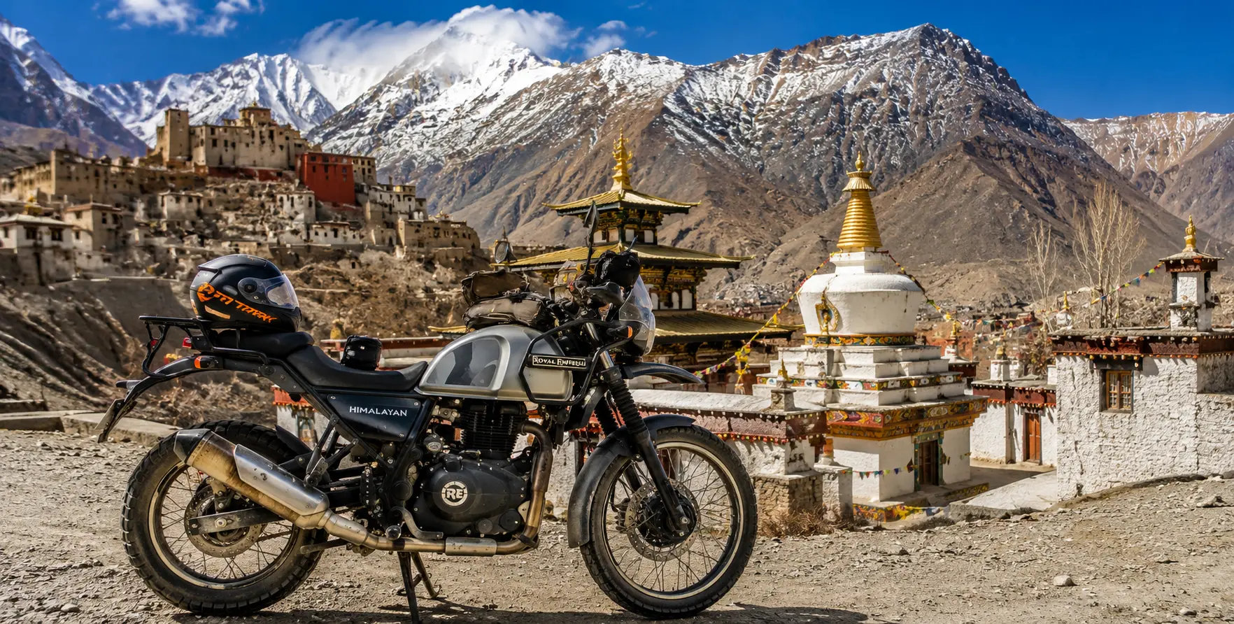
Royal Enfield Himalayan 450, KTM 390 Adventure R, Royal Enfield Himalayan 411, Royal Enfield Classic 350, Royal Enfield Classic 500, Bajaj Pulsar and Hero adventure motorcycles in Mustang Valley with the ancient Mustang Kingdom, Nepal.

Introduction: Why Nepal Is Every Adventure Rider’s Dream

Nepal. The word alone sets the pulse of a certain kind of traveler racing — the traveler who sees a mountain road not as an obstacle to be navigated but as an invitation to be answered. For adventure motorcyclists, Nepal is not simply one of the world’s great riding destinations. It is the riding destination — the place where the terrain, the culture, the challenge, and the reward combine in proportions that are impossible to find anywhere else on earth.

In Nepal, the motorcycle is not merely a vehicle. It is the ideal instrument for experiencing a country that changes with extraordinary rapidity across both altitude and culture. In a single day of riding — from the subtropical valleys near Pokhara northward through the Kali Gandaki gorge and into the arid, wind-blasted landscape of the Mustang plateau — a rider passes through terrain that in most countries would represent weeks of travel. The shift from lush rice terraces to Tibetan desert plateau, from Hindu temples to Buddhist cave monasteries, from sea-level heat to high-altitude cold, all compressed into a single unforgettable riding day: this is what Nepal on a motorcycle means.

Adventure bike hire in Nepal has grown substantially as a market in 2026, driven by an increasing international rider community that has discovered what overlanders and motorcyclists have known for decades: Nepal’s combination of the world’s most dramatic mountain roads, an astonishingly diverse cultural landscape, reasonable costs, and improving rental infrastructure makes it a bucket-list riding destination that delivers on every promise. In 2026, you can hire a brand-new Royal Enfield Himalayan 450 or KTM 390 Adventure R from premium rental operators in Kathmandu and Pokhara at competitive daily rates, complete with safety gear, route maps, and, in some cases, organized support.

This complete 2026 guide covers everything an adventure rider needs to know about hiring a bike in Nepal: the available motorcycle models and their suitability for different route types, rental costs and what is included, the legal requirements for foreign riders, the key riding routes from easy day trips to multi-week mountain expeditions, the permits required for specific regions, safety gear and road safety considerations, and how Nepal Vehicle Hiring Pvt. Ltd.’s support vehicle service can transform your Nepal motorcycle adventure from a solo challenge into a fully supported expedition.

Adventure Bike Hire Nepal — Quick Reference 2026
Most Popular Bike: Royal Enfield Himalayan 450 — from USD 42/day in Pokhara
Premium Option: KTM 390 Adventure R — from USD 52/day (new in 2026 at Zero Km Pokhara)
Budget Option: Royal Enfield Classic 350 / Bajaj Pulsar — from USD 15–25/day
Off-Road Choice: Honda CRF300L — from USD 38–55/day (limited availability)
Rental Hubs: Kathmandu (Thamel area) | Pokhara (Lakeside / Zero Km Hub)
Legal Requirement: International Driving Permit (IDP) + valid home motorcycle license — MANDATORY
Key Permits: ACAP (NPR 3,000) for Annapurna/Mustang | Upper Mustang RAP (USD 500/10 days)
Best Riding Season: October–November and March–May
Support Vehicle: Nepal Vehicle Hiring Pvt. Ltd. provides 4WD jeep support for all major routes
 Support Vehicle Booking: +977 9851013196 | [email protected]


Why Nepal Is the World’s Premier Adventure Motorcycle Destination

The Geography — Built for Riders

Nepal’s geographic diversity is the foundation of its appeal as a motorcycle destination. The country spans approximately 880 km from east to west. Still, within that relatively compact territory, the terrain rises from the subtropical Terai lowlands at barely 60 meters above sea level to the summit of Mount Everest at 8,849 meters — a vertical range of nearly 9,000 meters that creates every conceivable type of riding terrain within a single country.

The roads that traverse this extraordinary landscape range from smooth modern tarmac on the main inter-city highways to rough gravel mountain tracks carved into cliff faces at 4,000 meters to unpaved desert trails through the ochre landscape of Upper Mustang that require genuine off-road riding skill. In a single Nepal motorcycle trip, a rider can experience highway riding, mountain switchback tarmac, high-altitude gravel, desert off-road, and river-valley tracks — a variety of road surfaces and terrain that most motorcyclists would need to visit five different countries to equal.

The road network has been progressively improved in recent years. Major routes like the Prithvi Highway (Kathmandu to Pokhara), the Siddhartha Highway, and sections of the Beni-Baglung Highway are in increasingly good condition for highway-standard motorcycling. The Annapurna Circuit road has been extended and improved, though the upper sections remain appropriately rough for adventure riding. The new road to Upper Mustang — completed in sections through the 2010s — has made the ancient Forbidden Kingdom accessible to adventure riders for the first time in history.

The Culture — Every Village a Discovery

What makes Nepal motorcycle touring genuinely extraordinary — and what separates it from pure adrenaline activities like track days or enduro riding — is the cultural landscape through which you ride. Nepal is not empty terrain. It is one of the most culturally dense landscapes in Asia, with ancient temples, traditional villages, active monasteries, and living spiritual practices visible at virtually every bend in the road.

Riding through Nepal on an adventure bike, you are constantly encountering things that demand you stop: the whitewashed stupa suddenly visible through a gap in the pine forest; the ancient carved stone image of Vishnu sitting in a roadside niche that has been there for a thousand years; the procession of monks crossing the road in front of you with their saffron robes and chanting voices; the teahouse run by a Gurung grandmother who has been making the best dal bhat on this road for forty years. The motorcycle gives you the freedom and the pace to respond to these encounters in a way that a car or bus does not — you can stop anywhere, at any moment, and step into the world that surrounds the road.

This combination of riding adventure and cultural immersion is what consistently generates the extraordinary reviews Nepal motorcycle hire receives. Riders describe not merely the technical challenge and scenic beauty of the rides, but the human encounters — the moments of connection with the mountain communities through which they pass — as among the most moving experiences of their lives.

The Cost — World-Class at a Fraction of Global Prices

Nepal’s adventure bike hire rates in 2026 represent exceptional value by international standards. A Royal Enfield Himalayan 450 — currently the most celebrated adventure motorcycle in the world for its combination of off-road capability, engine character, and suitability for mountainous terrain — is available for hire from approximately USD 42–52 per day in Pokhara, with a helmet included. The same bike, rented in the UK, Europe, or New Zealand, would cost USD 100–180 per day.

Beyond the bike hire rate, Nepal’s cost of adventure motorcycling is dramatically lower than equivalent experiences in developed countries: fuel is cheaper, accommodation at mountain teahouses costs a fraction of a Western hotel, meals of dal bhat (the traditional Nepali rice and lentil dish that fuels trekkers and riders alike) cost NPR 200–500, and the road infrastructure — while demanding — provides the authentic mountain riding experience that riders pay enormous premiums to access in places like the Scottish Highlands or the Swiss Alps.

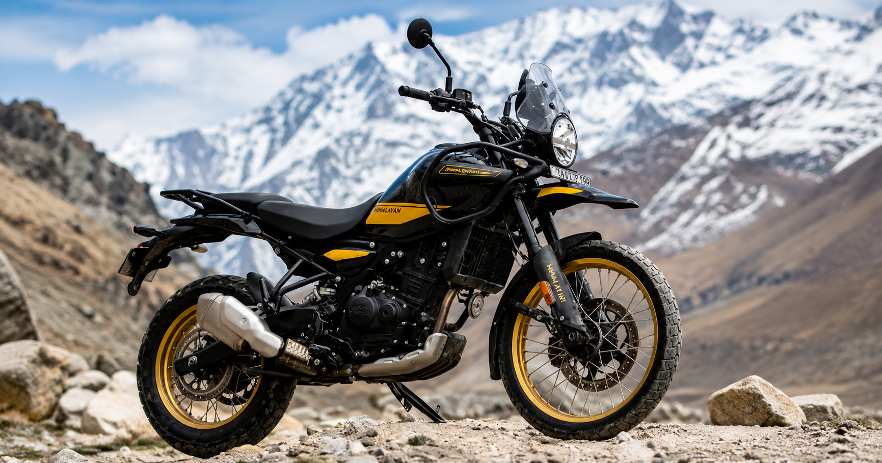
 Royal Enfield Himalayan 450 adventure motorcycle in the Mustang Valley, Nepal.
Royal-Enfield-Himalayan-450-hire-in-nepal

The Adventure Bikes Available for Hire in Nepal (2026)

Royal Enfield Himalayan 450 — The 2026 King of Nepal Motorcycle Hire

The Royal Enfield Himalayan 450 is the dominant choice for adventure motorcycle rentals in Nepal in 2026, representing a significant upgrade over the previous-generation Himalayan 411 that established the model’s reputation on Nepal’s mountain roads. The new 450cc liquid-cooled engine delivers substantially more power than its predecessor (39.5 bhp vs 24.3 bhp) while retaining

the low-rev torque character that makes the Himalayan so effective on Nepal’s steep gradient roads. Combined with a new 43mm USD front fork, a monoshock rear, 21-inch front and 17-inch rear spoke wheels, and a comprehensive electronics suite including ABS and traction control modes, the new Himalayan 450 is genuinely one of the most capable mid-displacement adventure motorcycles available globally.

In Nepal, the Himalayan 450 has the practical advantages of excellent parts availability (Royal Enfield has a significant dealership and service network in Nepal), familiarity to local mechanics who have worked on the platform for years, and a riding character — upright position, smooth power delivery, predictable handling — that is forgiving and accessible for riders who may not be the most experienced off-road riders but want to tackle Nepal’s mountain roads with confidence. Rental operators in both Kathmandu and Pokhara report that the Himalayan 450 is fully booked weeks in advance during peak riding season.

ReRate Rate (26): USD 42–75 per day from Pokhara; USD 35–65 per day from Kathmandu. A helmet is typically included. Safety gear (jacket, gloves, boots) is available at an additional cost. Weekly rates offer 15–25% discount vs daily rateRatest For: Annapurna Circuit, Upper Mustang, Pokhara to Muktinath, Kathmandu Valley exploration, Langtang approach road. Suitable for riders with moderate to good motorcycle experience.

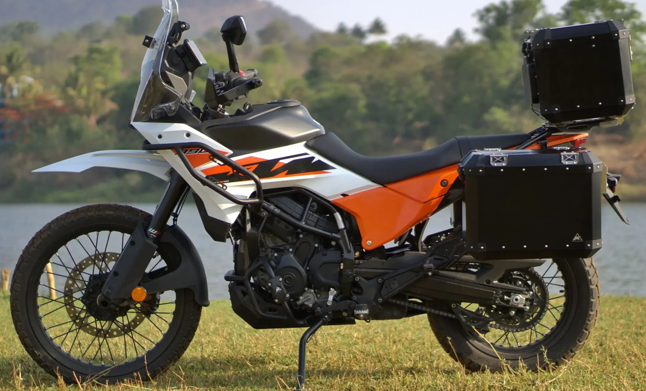
 KTM 390 Adventure R motorcycle on the scenic roads of Mustang, Nepal.
Explore Mustang Valley with the powerful KTM 390 Adventure R.

KTM 390 Adventure R — The Premium 2026 Choice

The KTM 390 Adventure R represents the premium end of Nepal’s adventure bike rental market in 2026 — a significantly more capable off-road machine than the Himalayan, with WP XPLOR suspension front and rear, a 21-inch front wheel, off-road tires, and a higher-revving engine with sharper throttle response.

The 390 Adventure R is the tool of choice for riders who have more off-road experience and want to push the Nepal terrain harder — it handles the rocky sections of Upper Mustang, the loose gravel of the Marsyangdi valley, and the technical mountain tracks with a confidence and precision that the Himalayan cannot quite match.

New for 2026, the KTM 390 Adventure R is available at the Zero Km Pokhara hub — described by riders as brand-new machines kept in top condition. The Zero Km operation has quickly established itself as the premium motorcycle rental service in Pokhara, with a rider-focused atmosphere, an excellent selection of gear, and genuine expertise in planning routes for Upper Mustang and the Annapurna Circuit.

Rental RateRate26): USD 52–90 per day from Pokhara. Safety gear available. Limited availability — booking essential.

Best For: Upper Mustang off-road sections, Annapurna Circuit technical sections, Marsyangdi Valley, riders wanting maximum off-road performance. Recommended for experienced off-road riders.

Adventure Bike Hire in Nepal 2026 Best Motorcycle Rentals Nepal

Royal Enfield Himalayan 411 — The Classic Choice

The original Royal Enfield Himalayan 411 remains available for hire in Nepal in 2026 and remains a very capable and popular choice for most routes. The 411cc air-cooled single-cylinder engine produces 24.3 bhp — sufficient for Nepal’s roads if approached with appropriate gearing and riding technique.


The Himalayan 411’s advantages over the 450 are its greater availability (it has been in production longer and the rental fleet is larger), its slightly lower cost, and the familiarity that experienced Nepal riders have developed with its specific characteristics on mountain roads.

For riders who will primarily stick to the main riding routes — Kathmandu to Pokhara, Pokhara to Muktinath, the lower Annapurna Circuit sections — the Himalayan 411 remains an entirely appropriate choice and a genuinely enjoyable riding companion. Its mechanical simplicity also makes it slightly more rebuildable in remote areas where a breakdown might occur.

Rental RateRate26): USD 28–50 per day from Kathmandu and Pokhara. The most widely available bike in Nepal’s rental market.

Best For: All main Nepal routes, riders wanting a well-proven, widely available machine, and budget-conscious adventure riders.

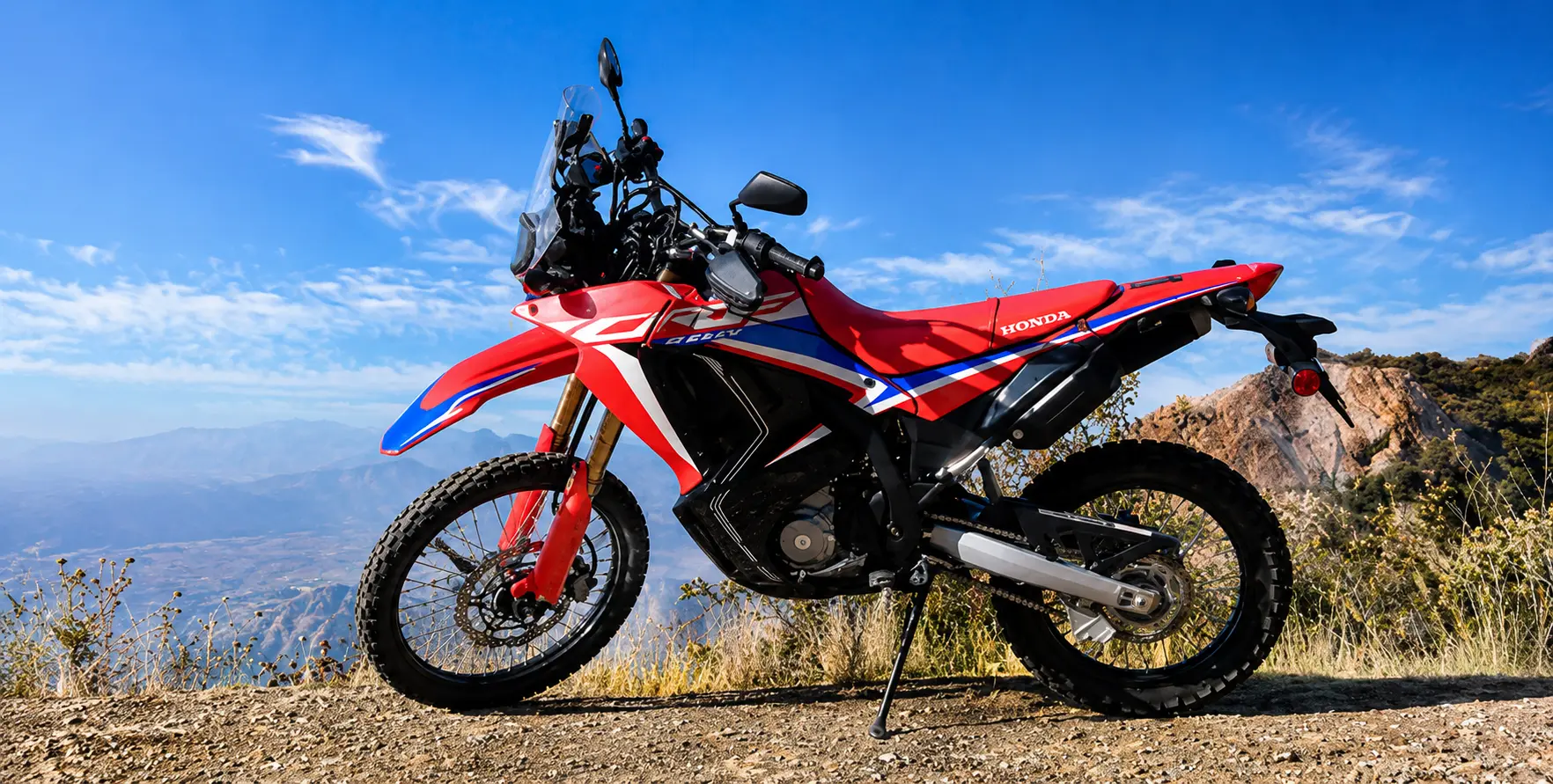
 Honda CRF300L dual-sport motorcycle exploring off-road trails in Mustang, Nepal.
Honda-CRF300L-Mustang-Valley.

Honda CRF300L — The Off-Road Specialist

The Honda CRF300L is the choice for dedicated off-road riders who prioritize trail capability over highway comfort. Lighter than the Royal Enfield (163 kg vs the Himalayan 450’s 196 kg), with dedicated off-road suspension, a proper off-road knobby tire fitment, and a compact, lightweight chassis designed for technical terrain, the CRF300L can go places on Nepal’s mountain tracks that the heavier adventure bikes struggle to follow. For the Thorong La Pass crossing on the Annapurna Circuit, the most technical mountain biking sections, and the rocky desert tracks of Upper Mustang’s most remote corners, the CRF300L is the weapon of choice.

The disadvantage of the CRF300L for Nepal touring is its limited highway comfort — the relatively low seat height and small windscreen make long tarmac stretches tiring — and its lower availability in Nepal’s rental market compared to Royal Enfield options.

RentaRate (2626): USD 38–65 per day. Limited availability — check with operators in Kathmandu and Pokhara several weeks in advance.

Best For: Technical off-road sections, experienced off-road riders, Thorong La Pass crossing, Upper Mustang extreme sections.

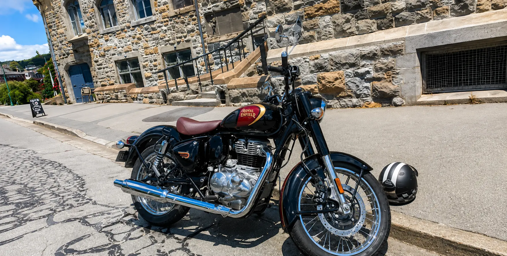
 Royal Enfield Classic 350 motorcycle with the beautiful Mustang mountains in Nepal.
Royal-Enfield-Classic-350

Royal Enfield Classic 350/500 — Style on the Highway

The Royal Enfield Classic 350 and Classic 500 are available for hire across Nepal and are popular choices for riders who primarily travel on the main highways — the Kathmandu-to-Pokhara Prithvi Highway, the Siddhartha Highway to Lumbini, and the valley roads of the Kathmandu region. These bikes are not adventure motorcycles in the off-road sense, but they are well-suited to Nepal’s better roads and deliver the characteristic Royal Enfield thump and character that many riders come to Nepal specifically to experience.

The Classic 350 is the most affordable Royal Enfield hire option and is widely used in Nepal by local riders, meaning parts availability and local mechanic familiarity are excellent. For a rider planning a Kathmandu-to-Pokhara trip, a Pokhara Valley exploration, or a Kathmandu heritage circuit, the Classic 350 is an entirely appropriate and enjoyable choice.

Rental Rate (2026): Classic 350: USD 15–30/day | Classic 500: USD 30–90/day. Most affordable Royal Enfield option.

Bajaj Pulsar / Hero Models — Budget City Riding

At the budget end of Nepal’s motorcycle hire market, local brands like Bajaj Pulsar (150–200 cc) and Hero models offer affordable options for city exploration and short valley excursions. These bikes are entirely unsuitable for mountain adventure routes but are widely available, inexpensive, and sufficient for day trips around Kathmandu or the lake area of Pokhara. Rental rates start from approximately USD 8–15 per day. Not recommended for any route beyond paved city roads.

MotorcycleEngineDaily Rate (2026)Best RoutesOff-Road RatingAvailability
Royal Enfield Himalayan 450450cc liquid-cooledUSD 42–75All Nepal adventure routes★★★★☆High — widely available
KTM 390 Adventure R373cc liquid-cooledUSD 52–90Off-road, Upper Mustang, Annapurna Circuit★★★★★Limited — Pokhara only
Royal Enfield Himalayan 411411cc air-cooledUSD 28–50All main Nepal routes★★★★☆Very high — most available
Honda CRF300L286cc liquid-cooledUSD 38–65Technical off-road, Thorong La★★★★★Low — limited stock
Royal Enfield Classic 500499cc air-cooledUSD 30–90Highways, valley roads★★☆☆☆Medium — select operators
Royal Enfield Classic 350349cc air-cooledUSD 15–30City, highways, valley roads★★☆☆☆Very high — most common
Bajaj Pulsar / Hero150–200ccUSD 8–15City only — Kathmandu, Pokhara★☆☆☆☆Very high — everywhere
 Honda CRF300L dual-sport motorcycle exploring off-road trails in Mustang, Nepal.
Honda CRF300L is built for off-road adventures across Mustang Valley.

Where to Hire Your Adventure Bike in Nepal (2026)

Kathmandu — The Capital Rental Scene

Kathmandu’s Thamel district — the tourist hub of Nepal’s capital — is the primary location for motorcycle rental operators. Several established rental shops operate in and around Thamel, offering a range from budget local bikes to well-maintained Royal Enfield models. The best-reviewed Kathmandu rental operators are known for responsive WhatsApp communication, professional service, and the ability to have a bike ready the same day for riders who arrive with their International Driving Permit.

Kathmandu-based rentals are ideal for riders who want to explore the Kathmandu Valley first before heading to Pokhara or other destinations by road on their hired bike. The valley’s rich heritage circuit — Bhaktapur, Patan, Nagarkot, Changu Narayan, Kakani — is excellent motorcycle exploration territory, and the highways connecting Kathmandu to Pokhara (200 km, Prithvi Highway) and to the Langtang region (120 km, Pasang Lhamu Highway) both begin from Kathmandu.

Pokhara — Nepal’s Premier Adventure Bike Hub

Pokhara has established itself as Nepal’s premier adventure motorcycle rental hub in 2026, with the best concentration of quality bikes, experienced operators, and premium rental services in the entire country. The city’s position as the gateway to the Annapurna region — and the starting point of both the Annapurna Circuit and the road to Upper Mustang — makes it the natural base for Nepal’s most spectacular motorcycle routes.

The Zero Km Pokhara hub, prominently reviewed in 2026, represents the newest and most premium motorcycle rental operation in Nepal — new-generation bikes (Royal Enfield Himalayan 450, KTM 390 Adventure R), professional gear selection, a rider-community cafe atmosphere, and deep local expertise in route planning for Upper Mustang and Annapurna Circuit motorcycle tours. For riders seeking the best bikes and the best pre-ride briefing in Nepal, Zero Km Pokhara is the benchmark for 2026.

The established rental operations around Pokhara Lakeside have long track records with the Royal Enfield Himalayan 411 and Scram models, and offer the advantages of familiarity, reliability, and local knowledge that guide riders to places they would never find without insider help. The best Pokhara rental shops go far beyond simply handing over a key — they plan routes, book accommodation, provide contact networks at key waypoints, and in some cases offer guided convoy tours led by experienced local riders.

CityRental Hub AreaBikes AvailablePrice RangeNotes
KathmanduThamel districtRE Himalayan 411/450, Classic 350/500, Bajaj PulsarUSD 15–65/dayGood availability; same-day rental often possible; best for valley exploration and Pokhara highway
PokharaLakeside / Zero Km HubRE Himalayan 411/450, RE Scram 440, KTM 390 Adventure R, Honda CRFUSD 28–90/dayBest quality and newest bikes in 2026; premium operators; ideal base for Mustang and Annapurna routes
BesisaharAnnapurna Circuit startsLimited — mostly shared/local optionsVariableVery limited rental availability — bring a bike from Kathmandu or Pokhara
JomsomUpper Mustang gatewayLocal shared bikes for short Mustang sections onlyVariableNot a reliable rental location — always bring a bike from Pokhara


International Driving Permit — The Non-Negotiable

Foreign nationals riding motorcycles in Nepal are legally required to carry a valid International Driving Permit (IDP) endorsed specifically for motorcycle operation. This is not optional, advisory, or negotiable — it is a firm legal requirement enforced at police checkpoints, and the consequences of riding without one include fines, vehicle confiscation, and the invalidity of your travel insurance for any accident claim.

The IDP must be obtained before you travel to Nepal — it cannot be issued there. In most countries, IDPs are issued by the national automobile association (AA in the UK, AAA in the USA, NRMA in Australia, etc.) and cost approximately USD 15–25. The process typically takes 1–3 days by post or can be obtained the same day at a local AA office. Take your valid home-country motorcycle license, a passport-sized photograph, and the application form. The IDP is valid for 1 year and must be carried with your original home-country license at all times while riding in Nepal.

Note specifically: the IDP must be endorsed for motorcycles (Category A). An IDP for cars only (Category B) does not authorize motorcycle riding in Nepal. Check the categories endorsed on your IDP before departure.

Home Country Motorcycle License

In addition to the IDP, you must carry your original home country motorcycle driving license (not a photocopy) at all times when riding. The combination of an IDP and an original home license provides legal authorization to ride in Nepal. Some checkpoints primarily check the IDP; others check both the IDP and the IDP. Carry both documents in a waterproof holder accessible in your jacket pocket — not buried in your luggage.

Nepal Driving Regulations — Key Rules for Foreign Riders

  • Drive on the LEFT side of the road — Nepal follows the British-style left-hand traffic convention.
  • Helmet wearing is legally mandatory for riders and pillion passengers — wear a helmet at all times, even in cities where you may observe local riders without them.
  • Speed limits: 40 km/h in urban areas, 80 km/h on highways. Speed enforcement is increasing in Nepal.
  • No mobile phone use while riding — Nepal law prohibits handheld phone use while operating a vehicle.
  • Alcohol and riding: zero tolerance is the effective practice — Nepal’s police can and do conduct spot checks. Never ride after consuming alcohol.
  • At checkpoints, stop completely, turn off the engine, remove the helmet, and present documents politely. Checkpoints are frequent on mountain routes and primarily verify permits and licenses.
  • Night riding is strongly discouraged on mountain roads — poor road lighting, wandering livestock, and reduced visibility of road hazards make it genuinely dangerous.


DocumentMandatory?Where to ObtainNotes
International Driving Permit (IDP) — Category A (motorcycle)YES — legally requiredYour home country automobile association BEFORE traveling to NepalMust be valid; must specifically include motorcycle (Category A) endorsement
Original Home Country Motorcycle LicenseYES — carry with IDPYour home country licensing authorityOriginal document, not a photocopy. Must be current and valid.
Nepal Entry VisaYESNepal Embassy/Consulate in your country OR on arrival at TIA, KathmanduStandard tourist visa — 15/30/90 day options
Bike Rental AgreementYES (from operator)Your rental shop in Kathmandu or PokharaCarry with you — identifies vehicle ownership in case of a police check
ACAP PermitYES if entering Annapurna Conservation AreaNTNC offices in Kathmandu or PokharaNPR 3,000 per person — covers all ACA routes
Upper Mustang RAPYES if going to Upper MustangDepartment of Immigration, Kathmandu — through a registered agencyUSD 500 per person for the first 10 days — must be obtained in advance
Travel Insurance (motorcycle-specific)Strongly recommendedYour home country insurance providerMust explicitly cover motorcycle riding in Nepal and helicopter evacuation

Adventure Bike Hire in Nepal 2026 Best  Motorcycle Rentals Nepal -Royal Enfield Himalayan 450, KTM 390 Adventure R, Royal Enfield Himalayan 411, Royal Enfield Classic 350, Royal Enfield Classic 500, Bajaj Pulsar and Hero adventure motorcycles in Mustang Valley with the ancient Mustang Kingdom, Nepal.


Top Adventure Bike Routes in Nepal (2026)

Route 1: Pokhara to Muktinath — The Classic Kali Gandaki Ride

If you are new to Nepal motorcycle riding and want to experience the country’s most spectacular and accessible road adventure, the ride from Pokhara northward through the Kali Gandaki gorge to the sacred Muktinath Temple (3,800 m) is the perfect choice — a route that delivers dramatic mountain scenery, wild river gorge riding, extraordinary cultural encounters, and a sacred destination of deep spiritual significance, all within a comfortable 2–3 day round trip from Pokhara.

The route follows the Beni-Baglung Highway northward from Pokhara through the market town of Beni and into the Kali Gandaki River valley — the world’s deepest gorge by some geological measurements, flanked by the 8,000-meter peaks of Dhaulagiri and Annapurna. The road passes through Tatopani (with its famous natural hot springs — a mandatory post-ride recovery stop), Ghasa, Dana, and the characteristic villages of the lower Mustang cultural zone before reaching Jomsom (2,720 m), the district headquarters of Mustang and a bustling little town with an airstrip, hotels, and fuel.

From Jomsom, the road continues another 20 km to the sacred complex of Muktinath Temple (3,800 m) — one of the most important pilgrimage sites in all of Hindu and Buddhist Asia, where a natural gas flame burns eternally from a spring and where the combination of Hindu and Buddhist sacred architecture creates an atmosphere of concentrated spiritual intensity that is genuinely affecting, even for non-religious riders. The approach road to Muktinath from Jomsom climbs steeply on a rough gravel track, giving the final approach to the temple the character of a genuine off-road challenge.

Route Details: Pokhara to Muktinath: approximately 165 km | 2 days riding (Day 1: Pokhara to Tatopani or Jomsom; Day 2: Jomsom to Muktinath and return or continue north). Altitude: 3,800 m maximum. Road: paved to Jomsom (with rough sections); gravel from Jomsom to Muktinath. Bike: Royal Enfield Himalayan 450 or 411 ideal. Permits: ACAP (NPR 3,000) required from Pokhara.

Route 2: Annapurna Circuit — Nepal’s Greatest Motorcycle Loop

The Annapurna Circuit is Nepal’s most celebrated multi-day motorcycle route — a complete loop around the entire Annapurna massif that covers approximately 300–400 km of riding across the full spectrum of Nepal’s road types: smooth new tarmac, rough mountain gravel, river valley tracks, and the ultimate challenge — the crossing of the Thorong La Pass at 5,416 metres, the highest motorable pass regularly crossed by adventure motorcyclists in the entire Annapurna region.

The circuit begins in Besisahar (approximately 170 km from Kathmandu or from Pokhara). It follows the Marsyangdi River northward through a sequence of environments of increasing dramatic intensity — subtropical forest, traditional Gurung villages, then Tibetan-influenced communities above the tree line, and finally the raw, high-altitude terrain of Manang Valley and Thorong Phedi.

The Thorong La crossing (typically done with a very early morning departure — 4:00–5:00 AM from Thorong Phedi) is the defining moment of the entire circuit for motorcycle riders — a climb of nearly 1,000 vertical meters on rough, rocky trail to the pass summit, followed by a spectacular descent to Muktinath on the western side.

The return from Muktinath to Pokhara via Jomsom and the Kali Gandaki gorge completes the circuit — the afternoon descent through the gorge, with Dhaulagiri and Annapurna flanking the valley, is one of the most visually rewarding riding experiences on the entire route. The complete circuit typically takes 8–12 days of riding,, depending on the pace andthe number of rest days taken.

Route Details: Total distance: 300–400 km (depending on starting point). Duration: 8–12 days. Max altitude: 5,416 m (Thorong La Pass). Bike: Royal Enfield Himalayan 450 or KTM 390 Adventure is strongly recommended. Permits: ACAP + TIMS. Fuel: Carry extra from Chame or Manang — limited fuel above Manang. Support vehicle: strongly recommended for luggage and emergency backup.

Adventure Bike Hire in Nepal 2026 Best  Motorcycle Rentals Nepal -Adventure motorcycles in Mustang Valley and Mustang Kingdom, Nepal. Ride the Royal Enfield Himalayan 450, KTM 390 Adventure R, Himalayan 411, Classic 350/500, Bajaj Pulsar, and Hero bikes through one of Nepal's most scenic Himalayan landscapes.

Route 3: Upper Mustang — The Forbidden Kingdom Motorcycle Expedition

Upper Mustang is the ultimate Nepal motorcycle adventure — the road to the ancient walled city of Lo Manthang (3,840 m) through a landscape of red and ochre desert cliffs, ancient cave monastery complexes, and Tibetan-culture villages that feel genuinely removed from the 21st century. The Upper Mustang region was closed to foreign visitors until 1992, and the aura of mystery and remoteness that earned it the name ‘the Forbidden Kingdom’ still clings to its landscape.

The ride from Kagbeni (the entry checkpoint for the restricted Upper Mustang zone) northward to Lo Manthang is largely off-road — compacted desert gravel, rocky tracks, sand, and occasional river crossings that give the route the character of a genuine off-road expedition rather than a mountain-road ride. Wind is a major factor: the Kali Gandaki valley is one of the world’s most powerful natural wind tunnels, and afternoon gusts of 60–80 km/h are common. Every experienced Upper Mustang rider follows the same rule: be off the road by noon.

The rewards for the logistical challenge are extraordinary. Lo Manthang’s ancient whitewashed walls, the multi-story palace of the Lo Kings, the 15th-century monastery with its remarkable tantric murals, the cave complex at Chhoser — these are experiences with virtually no equivalent elsewhere in Asia, accessible to the motorcycle rider in a way that is fundamentally different from the vehicle tour experience.

Route Details: Total distance (from Pokhara): 380 km to Lo Manthang. Duration: 10–14 days total. Max altitude: approx. 4,200 m on some tracks. Road: Paved to Jomsom, gravel/rough to Kagbeni, off-road beyond. Bike: KTM 390 Adventure R or Royal Enfield Himalayan 450 recommended. Permits: ACAP + Upper Mustang RAP (USD 500/10 days) — must be obtained in advance through a registered agency. Fuel: Limited beyond Jomsom — carry jerry cans. Support vehicle: ESSENTIAL for this route.

Route 4: Kathmandu Valley Heritage Loop

Not every Nepal motorcycle adventure requires a multi-day expedition. For riders who are based in Kathmandu and want a rewarding full-day or two-day motorcycle exploration, the Kathmandu Valley Heritage Loop is an outstanding choice — a circuit of the valley’s outer rim connecting the world-class heritage destinations of Bhaktapur, Nagarkot, Dhulikhel, Namobuddha, Panauti, and Kakani in a single riding day of approximately 100–150 km.

The Valley Heritage Loop offers the unique combination of world-class cultural heritage (three of the seven UNESCO World Heritage Sites in the Kathmandu Valley are on or near the circuit) with genuinely enjoyable motorcycling terrain — the hill roads connecting the valley’s rim viewpoints are winding, relatively traffic-free, and offer consistent mountain and valley views. The road to Nagarkot (2,195 m) for a dawn mountain view, the descent through the village roads of Bhaktapur’s outskirts, and the ridge road to Kakani through Shivapuri forest are all particularly rewarding riding sections.

Route Details: Distance: 100–150 km (full circuit). Duration: 1–2 days. Max altitude: 2 195 m (Nagarkot). Road: Paved throughout — some winding hill roads. Bike: Any motorcycle is suitable, including the Classic 350. Permits: None required. Ideal: First day’s ride for new arrivals to Nepal before a longer expedition.

Route 5: Kathmandu to Pokhara — The Great Nepal Highway Ride

The 200 km ride from Kathmandu to Pokhara along the Prithvi Highway is Nepal’s most popular motorcycle touring route and an essential part of any motorcycle trip in Nepal. The highway descends from the Kathmandu Valley through the Nagdhunga pass. Then it follows the spectacular Trishuli River gorge westward — one of the finest river gorge motorcycle roads in Asia — before crossing to the Modi Khola watershed and approaching Pokhara with the Annapurna range progressively revealing itself above the hills ahead.

The Prithvi Highway is primarily a highway ride rather than an off-road adventure. Still, its combination of the Trishuli gorge scenery, the interesting roadside towns of Malekhu and Mugling, the memorable approach to Pokhara with the first mountain panorama, and the comfortable cafe-stop potential makes it a thoroughly satisfying motorcycle day. Most riders complete the journey in 5–7 hours,s depending on stops, departing Kathmandu by 7:00 and arriving in Pokhara by early afternoon.

Route Details: Distance: 200 km. Duration: 1 day (5–7 hours riding time). Max altitude: approximately 1,000 m. Road: Paved throughout — excellent condition on most sections. Bike: A motorcycle,e including Classic 350. Permits: None required for highway only.

Route 6: Everest Foothills Road — Solu Khumbu by Motorbike

For riders who want to explore the eastern Himalayan approaches and get as close to the Everest region as the road network allows, the route from Kathmandu eastward through the Sindhupalchok and Solukhumbu districts to Salleri and Phaplu offers a different dimension of Nepal motorcycle adventure from the more popular Annapurna routes. The road is rougher, the terrain more remote, and the cultural landscape — deep Sherpa country, ancient rhododendron forests, Buddhist monasteries perched on ridgelines — is extraordinary.

The road to Salleri (approximately 300 km from Kathmandu via Okhaldhunga) involves a long, demanding day of riding on mixed surfaces, but rewards with a level of remoteness and cultural authenticity that the more frequently ridden western routes cannot match. Beyond Phaplu, rough tracks continue toward the higher Solu Khumbu valley — approaching the Everest base camp trekking corridor from the south in a direction that few motorcycle riders ever take.

Route Details: Distance: approximately 300 km (Kathmandu to Salleri). Duration: 2–3 days minimum. Altitude: 2,340 m at Salleri. Road: Mixed paved/rough beyond Okhaldhunga. Bike: Royal Enfield Himalayan 450 or KTM 390 recommended. Permits: Sagarmatha NP permit if entering park boundary (NPR 3,000).

Adventure Bike Hire in Nepal 2026 Best  Motorcycle Rentals Nepal -Crossfire 250 adventure motorcycle riding through the rugged roads of Mustang Valley with the Himalayan mountains in Nepal.
Explore the breathtaking landscapes of Mustang, Nepal, with the powerful Crossfire 250 adventure motorcycle.

Safety Gear, Road Safety,t y and Essential Preparation

Safety Gear — What You Need for Nepal Riding

Safety gear selection for Nepal motorcycle riding requires balancing protection against the very real physical risks of mountain road riding with the practical reality of tropical and sub-tropical temperatures at lower altitudes. Riders who overdress for protection at high altitude will be dangerously overheated in the Terai and lower valleys; those who underdress for comfort at low altitude will be dangerously exposed at high altitude, where temperatures can drop below zero even in the riding months.

  • Full-face helmet: Non-negotiable for all Nepal riding — open-face helmets provide inadequate protection on the rocky, potholed mountain roads where a crash can happen at low speed with high impact. CE-certified helmets are strongly preferred; many rental operators include them. The quality varies — bring your own if possible or purchase a quality helmet in Kathmandu or Pokhara.
  • Motorcycle jacket with CE-rated armor (shoulder, elbow, back): Essential for mountain riding where road surfaces can change without warning. A textile jacket with ventilation zippers allows temperature management across Nepal’s extreme altitude range. Waterproof capability is useful for monsoon-edge season riding.
  • Riding gloves: Full-finger gloves with knuckle protection — required for gravel sections where hand protection in a fall is critical. Bring a thin inner liner for cold high-altitude mornings.
  • Motorcycle boots with ankle protection: Minimum requirement for mountain road riding. Proper motorcycle boots with torsion resistance protect against ankle and foot injuries common in Nepal’srocky off-road sections.
  • Knee and shin guards: Strongly recommended for Upper Mustang and Annapurna Circuit off-road sections where low-speed falls on rocks are possible.
  • Layers: Nepal’s altitude range demands a layering system. A base layer, a mid layer (fleece), and a windproof outer layer allow for adjustment as you climb from 800 m to 3,800 m in a single day of riding. A down vest compressed into a tank bag is excellent for cold early mornings and high-altitude sections.

Road Hazards Specific to Nepal

  • Livestock on roads: Cattle, goats, and dogs regularly occupy Nepal’s mountain roads — particularly at dawn and dusk when animals move between pasture and village. Maintain speed appropriate to visibility and treat every blind corner as potentially occupied by an animal.
  • Road surface variability: Nepal’s mountain roads change surface character without warning — smooth tarmac gives way to gravel, gravel to dirt, dirt to rocks, rocks back to smooth tarmac, sometimes within a hundred meters. Ride at a speed appropriate to the worst surface ahead, not the best surface beneath you.
  • Landslide debris: During and after the monsoon, sections of the mountain road may be covered in rocks, mud, or debris from above. Approach any area where the cliff face meets the road edge with caution and reduced speed.
  • Vehicles on the wrong side: Nepal’s mountain roads are narrow and often have blind corners. Local trucks, buses, and jeeps coming from the opposite direction may occupy the center or the wrong side of the road while rounding tight corners. Adopt a defensive riding position and sound your horn before blind bends.
  • Altitude effects on performance: Both the rider and the motorcycle perform less well at altitude. The rider will feel fatigue, reduced concentration, and possible altitude-related symptoms above 3,000 m. The motorcycle’s engine loses power as altitude increases — the Himalayan 450’s liquid-cooled fuel injection manages altitude better than older carburetted bikes, but all bikes lose significant power above 4,000 m.
  • Wind in Kali Gandaki valley: Afternoon winds (12:00–18:00) in the Kali Gandaki gorge can reach 60–80 km/h, making motorcycle riding genuinely hazardous. Plan your ride to avoid the exposed gorge section before noon.

Mechanical Preparation and Emergency Kit

Mechanical reliability is the difference between a great Nepal motorcycle adventure and a very stressful ordeal in a remote location. Before accepting a rental bike, insist on checking: tire condition and pressure (both tires), brake condition (front and rear), chain tension and lubrication, all electrical systems (lights, horn), engine oil level, and that the fuel capacity and fuel gauge are understood. A reputable rental operator will have performed all of these checks and will welcome your verification.

  • Carry these items on every Nepal mountain ride: puncture repair kit (tyre levers, patches, CO2 inflators or mini pump), chain lube, basic tool kit (the rental operator should provide), zip ties and duct tape, spare brake and clutch levers (the most common casualty in a low-speed fall), headtorch/flashlight, emergency cash in NPR, paper map of the route (phone GPS fails in remote areas), small first aid kit, and altitude sickness medication (Diamox/acetazolamide — consult a doctor before the trip).

Insurance for Nepal Motorcycle Hire

This is one of the most important and most frequently overlooked aspects of motorcycle planning in Nepal. Standard travel insurance policies almost universally exclude motorcycle riding — meaning that any accident on a hired motorcycle in Nepal, regardless of its severity, may result in you personally bearing the full cost of medical treatment, helicopter evacuation, repatriation, and any liability to third parties. In Nepal, a helicopter evacuation following a mountain accident can cost USD 3,000–8,000, which is typically the minimum cost for a serious high-altitude incident.

Before your Nepal motorcycle trip, obtain a travel insurance policy that explicitly covers: motorcycle riding (as a rider, not a pillion), the engine size of the bike you are hiring (some policies only cover bikes up to 250cc), trekking and riding at the altitudes you will reach, helicopter evacuation from remote areas, and emergency medical treatment in Nepal. World Nomads is widely recommended for its comprehensive adventure sports coverage. Verify your policy by reading the exclusions section carefully, not just the headline coverage.

 Adventure Bike Hire in Nepal 2026 Best  Motorcycle Rentals Nepal -Royal Enfield Himalayan 450 adventure motorcycle in the Mustang Valley, Nepal.
Royal Enfield Himalayan 450

The Case for a Support Vehicle — Why Every Serious Nepal Bike Tour Needs One

What a Support Vehicle Changes

The difference between a Nepal motorcycle adventure with a dedicated support vehicle and one without is the difference between a supported expedition and a solo gamble. This is not hyperbole — it is the consistent conclusion of experienced Nepal riders at all levels. A support vehicle fundamentally changes the risk profile, comfort level, carrying capacity, and peace of mind of the entire adventure.

Nepal Vehicle Hiring Pvt. Ltd. provides 4WD support vehicle services specifically designed for motorcycle touring groups on all of Nepal’s major routes. Our Land Cruiser, Fortuner, and Hilux fleet are fully capable on every road surface that adventure riders encounter, from the Prithvi Highway to the rocky desert tracks of Upper Mustang. Our drivers have specific experience supporting motorcycle groups — they know the route, the rendezvous points, and how to handle the logistics of a moving motorcycle convoy with a vehicle backup.

What Your Support Vehicle Carries and Does

  • Luggage: Your full camping gear, extra clothing layers, sleeping bag, food supplies, and personal effects travel in the support vehicle — leaving your bike carrying only what you need for the day’s riding. This dramatically improves bike handling, reduces rider fatigue, and makes the riding experience more enjoyable overall, particularly on rougher off-road sections.
  • Spare fuel: On routes where petrol stations are absent or unreliable (beyond Manang on the Annapurna Circuit, beyond Jomsom in Upper Mustang), the support vehicle carries additional fuel in jerry cans — eliminating the range anxiety that severely limits riding confidence in remote areas.
  • Spare parts and tools: Tire repair equipment, spare tubes, spare chain links, brake pads, clutch and brake levers, basic hand tools, and a compressor — all carried in the support vehicle where they are accessible without adding weight to the motorcycle.
  • Emergency transport: In case of a mechanical failure (even a brand-new bike can develop a fault in Nepal’s demanding terrain), the support vehicle can transport the bike or the rider. In the event of a rider injury or altitude sickness, the support vehicle provides immediate road transport to the nearest medical facility.
  • Accommodation and logistics coordination: Your driver (in communication with Nepal Vehicle Hiring’s operations team) can contact ahead of time to confirm accommodation availability, arrange permits at checkpoints, and handle any logistical challenges that arise along the route.
  • Rest and shelter: During rest stops, lunch breaks, or weather waits, the support vehicle provides a comfortable, dry, warm shelter that makes multi-hour waits at mountain passes or during sudden weather changes significantly more comfortable.

Support Vehicle Cost Guide


RouteSupport VehicleDurationApprox. Cost (Vehicle Only)Notes
Pokhara to Muktinath (return)4WD Fortuner/Hilux2–3 daysNPR 28,000–38,000Includes driver, fuel, and all road tolls
Annapurna Circuit (full loop)4WD Land Cruiser8–12 daysNPR 120,000–180,000MultiRate rate, Rateriver accommodation, separate
Upper Mustang Expedition4WD Land Cruiser10–14 daysNPR 180,000–260,000Essential on this route — fuel carry is critical
Kathmandu–Pokhara HighwayCar or Jeep1 dayNPR 18,000–28,000Luggage + rider backup for highway ride
Kathmandu Valley Heritage LoopCar or Jeep1 dayNPR 10,000–15,000Light support for valley rides
Everest Foothills (Salleri)4WD Hilux3–5 daysNPR 55,000–80,000Essential beyond Okhaldhunga


Complete Cost Guide — Adventure Bike Hire in Nepal 2026


Cost ItemCost (2026)Notes
RE Himalayan 450 hireUSD 42–75/dayHelmet typically included; gear extra
RE Himalayan 411 hireUSD 28–50/dayMost widely available — good value
KTM 390 Adventure R hireUSD 52–90/dayPremium — limited to Pokhara (Zero Km)
Honda CRF300L hireUSD 38–65/dayLimited availability — book in advance
RE Classic 350/500 hireUSD 15–90/dayBudget to premium; highway/valley riding
Helmet (provided by operator)Usually includedVerify quality — consider your own helmet
Full gear set (jacket, gloves, boots)USD 5–15/day extraAvailable at most operators; quality varies
IDP (International Driving Permit)USD 15–25 (home country)Obtain before travel — essential
ACAP PermitNPR 3,000 (USD 22) per personRequired for Annapurna/Mustang routes
TIMS CardNPR 2,000 per personRecommended for trekking/riding routes
Upper Mustang RAPUSD 500 per person (first 10 days)Must obtain in advance through the agency
Fuel (per liter, Nepal 2026)NPR 160–190 (approx. USD 1.15–1.38)Carry extra jerry cans for remote sections
Teahouse accommodation (per night)NPR 300–1,000 (USD 2–7)Basic room; food extra NPR 500–1,500/day
Travel Insurance (motorcycle-specific)USD 50–120/weekWorld Nomads or equivalent — essential
Support 4WD Vehicle (Nepal Vehicle Hiring)NPR 18,000–30,000/day (multi-day discount)Full expedition support — see route table above
Adventure Bike Hire in Nepal 2026 Best  Motorcycle Rentals Nepal -Royal Enfield Himalayan 450, KTM 390 Adventure R, Royal Enfield Himalayan 411, Royal Enfield Classic 350, Royal Enfield Classic 500, Bajaj Pulsar and Hero adventure motorcycles in Mustang Valley with the ancient Mustang Kingdom, Nepal.
Adventure motorcycles in Mustang Valley and Mustang Kingdom, Nepal. Ride the Royal Enfield Himalayan 450, KTM 390 Adventure R, Himalayan 411, Classic 350/500, Bajaj Pulsar, and Hero bikes through one of Nepal’s most scenic Himalayan landscapes.

Frequently Asked Questions 

Do I need an International Driving Permit to hire a bike in Nepal?

Yes — absolutely and without exception. Foreign nationals riding motorcycles in Nepal must carry a valid International Driving Permit (IDP) endorsed for motorcycle operation (Category A), along with their original home-country motorcycle license. Riding without an IDP is illegal in Nepal, can result in fines and vehicle confiscation, and invalidates your travel insurance for any accident claim. Obtain your IDP from your home country’s automobile association before traveling to Nepal. It cannot be issued in Nepal.

What is the best bike to hire for a first Nepal motorcycle adventure?

For most riders visiting Nepal for the first time, the Royal Enfield Himalayan 450 (or 411 if the 450 is unavailable) is the ideal choice. It has been purpose-designed for Himalayan road conditions, is widely available in both Kathmandu and Pokhara, has excellent parts and mechanic availability across Nepal, and its riding character — upright position, predictable handling, strong low-end torque — is forgiving and accessible to riders who are competent but not highly experienced off-road. Rental rates of USD 42–75/day represent excellent value for a bike of this capability.

Can I hire a bike in Kathmandu and ride it to Pokhara and Upper Mustang?

Yes — most reputable Kathmandu rental operators allow their bikes to travel throughout Nepal (with the important exception that some restrict crossing state or district borders without prior notification — always confirm the territorial scope of your rental agreement). The Kathmandu-to-Pokhara highway ride is entirely standard for hired bikes. Upper Mustang requires an additional Restricted Area Permit (RAP) — some Kathmandu rental operators may have requirements regarding this, so confirm at the time of booking. Many riders prefer to hire in Pokhara specifically for Upper Mustang trips, as Pokhara-based operators have more expertise in planning Upper Mustang routes.

Is the Thorong La Pass (5,416 m) crossable by motorbike?

Yes — the Thorong La Pass on the Annapurna Circuit is motorcycle-crossable and one of Nepal’s most celebrated riding achievements. However, it requires specific preparation: an experienced rider, a capable motorcycle (Royal Enfield Himalayan 450 or KTM 390 strongly recommended), mandatory acclimatization rest at Manang (at least one full day) before the crossing attempt, a 4:00–5:00 AM departure from Thorong Phedi on crossing day, favorable weather conditions, and a support vehicle positioned on the Muktinath (western) side. Do not attempt the Thorong La crossing on a Classic or city bike — the engine demands at 5,400 m are beyond their capability.

What permits do I need to ride a motorcycle in Nepal?

For riding within Kathmandu Valley and on main highways: no special permits beyond IDP and license. For entering the Annapurna Conservation Area (Annapurna Circuit, Pokhara to Muktinath/Jomsom, Ghandruk): ACAP permit (NPR 3,000 per person) + TIMS card (NPR 2,000) are required. For Upper Mustang beyond Kagbeni: ACAP + Restricted Area Permit (USD 500 per person for the first 10 days) — must be obtained through a registered agency in Kathmandu before the ride. For Langtang region: Langtang National Park permit (NPR 3,000). Always verify current permit requirements as regulations can change between seasons.

Do I need a support vehicle for motorcycle touring in Nepal?

For routes on the main highways (Kathmandu–Pokhara, Siddhartha Highway) and in the Kathmandu Valley, a support vehicle is convenient but not essential. For the Annapurna Circuit, Pokhara to Muktinath, and especially for Upper Mustang, a support 4WD vehicle is very strongly recommended — it carries luggage (dramatically improving bike handling), transports spare fuel for remote sections, provides mechanical backup in case of breakdown, and offers emergency transport in case of injury or illness. Nepal Vehicle Hiring Pvt. Ltd. provides dedicated motorcycle tour support vehicles for all major routes in Nepal. Contact us at +977 9851013196.

When is the best time to hire an adventure bike in Nepal?

October to November (post-monsoon autumn) is the best overall riding season — clear mountain views, dry roads, stable weather, and ideal temperatures at altitude. March to May (spring) is equally excellent, with the bonus of rhododendron forests in bloom along the mountain routes. December to February is possible for lower routes, but the Thorong La and high Mustang sections may be snow-affected. June to September (monsoon) is not recommended for mountain riding — landslide risk and poor road conditions make the standard mountain routes genuinely hazardous. However,h Upper Mustang (in the rain shadow) remains rideable.

Conclusion: The Open Road Across the Roof of the World Awaits

Adventure bike hire in Nepal in 2026 has never offered better bikes, better routes, or better supporting infrastructure than it does today. The arrival of the Royal Enfield Himalayan 450, the KTM 390 Adventure R, and a new generation of premium rental operators who understand exactly what a serious adventure rider needs from their Nepal motorcycle experience has elevated Nepal’s bike hire scene to a genuinely world-class level.

And the roads — well, the roads are still Nepal’s roads: the most dramatic, the most diverse, the most challenging, and the most rewarding motorcycle terrain on the planet. The Prithvi Highway gorge at dawn. The first views of the Annapurna range above the Kali Gandaki. The silence of the Mustang plateau at 3,800 meters with only the wind and the prayer flags for company—the smoke of a morning fire in a teahouse courtyard after a cold night at Thorong Phedi.

The final push up the rocky trail to the Thorong La summit with the whole Himalayan world spread out below. These are not merely motorcycle experiences. They are life experiences, compressed into riding days that leave an impression no other country can match.

And with Nepal Vehicle Hiring Pvt. Ltd. alongside you — our 4WD fleet carrying your gear, your spare fuel, and your peace of mind — you can ride lighter, ride further, and ride with the confidence that comes from knowing that whatever the mountain throws at you, you have professional backup at every waypoint.

Contact us today to arrange support for your Nepal adventure motorcycle tour. The road to the Forbidden Kingdom is waiting.

Book Your Adventure Bike Support Vehicle with Nepal Vehicle Hiring!

Website: www.vehiclehiringnepal.com
Phone / WhatsApp: +977 9851013196 (24/7 — Instant Response)
 Email: [email protected]
Office: Bhagawatisthan, Thamel, Kathmandu, Nepal
Support Fleet: Toyota Land Cruiser | Fortuner 4WD | Hilux 4WD
Routes Supported: Pokhara–Muktinath | Annapurna Circuit | Upper Mustang | Everest Foothills | All major routes
8,000+ Happy Customers | 5.0 TripAdvisor | 1000+ Verified Reviews
Luggage Transport | Spare Fuel | Emergency Backup | 24/7 Communication
Full Tour Support or Specific Route Segments — Flexible Arrangement
Licensed & Registered | Company Reg. No. 219204 | Best Price Guaranteed


ACAP Permit – The Annapurna Conservation Area Entry Pass: Complete Guide

ACAP permit Annapurna Conservation Area permit

Introduction: Why the ACAP Permit Is Your Most Important Trekking Document

If you are planning to trek anywhere in the Annapurna region of Nepal — whether the iconic Annapurna Circuit crossing the 5,416-metre Thorong La Pass, the spectacular Annapurna Base Camp (ABC) trek through the glacial Annapurna Sanctuary, the beloved Ghorepani–Poon Hill route for its legendary sunrise mountain panoramas, the increasingly popular Mardi Himal Trek, the sacred Muktinath Temple pilgrimage, or the remote Tilicho Lake expedition — there is one document you absolutely cannot be without: the Annapurna Conservation Area Permit, universally known as the ACAP permit.

The ACAP permit is not optional bureaucratic paperwork. It is a legally mandatory entry pass issued by Nepal’s National Trust for Nature Conservation (NTNC) under the authority of the Government of Nepal. Without it, you cannot legally enter the Annapurna Conservation Area.

Without it, you will be turned back at the first trail checkpoint you encounter. Without it, you may face significant on-the-spot fines. And without it, you miss the opportunity to contribute directly to the conservation of one of the world’s most extraordinary mountain ecosystems. This contribution makes the ACAP fee one of the most genuinely worthwhile expenditures in any trekker’s budget.

In 2026, the ACAP permit fee is NPR 3,000 for foreign nationals (approximately USD 22–25) and NPR 1,000 for SAARC nationals (from India, Bangladesh, Pakistan, Sri Lanka, Bhutan, Maldives, and Afghanistan). Children under 10 years of age are exempt. NTNC offices in Kathmandu and Pokhara issue permits, which can also be processed through the NTNC online portal. It is valid for the entire Annapurna Conservation Area — one permit covers all routes within the ACA boundary during a single entry.

This complete 2026 guide explains everything you need to know about the ACAP permit: what it is and why it exists, what the Annapurna Conservation Area is and why it matters, the exact cost in 2026 for all nationalities, how and where to obtain the permit in Kathmandu and Pokhara, what documents you need, which trekking routes require it, the checkpoint system, the relationship between the ACAP and the TIMS card, common mistakes trekkers make, and how your ACAP permit connects to the vehicle hire you need to reach the trailhead — where Nepal Vehicle Hiring Pvt. Ltd. can help.

ACAP Permit 2026 — Quick Reference at a Glance
Full Name: Annapurna Conservation Area Permit (ACAP)
Issuing Authority: National Trust for Nature Conservation (NTNC), Government of Nepal
Cost (Foreign Nationals): NPR 3,000 (approx. USD 22–25)
cost (SAARC Nationals): NPR 1,000 (approx. USD 7–8)
Cost (Nepali Nationals): Free of charge
Children Under 10: Exempt — no permit required regardless of nationality
Where to Get It: NTNC Office, Kathmandu (Jawalakhel) | NTNC/NTB Office, Pokhara (Damside) | Online: epermit.ntnc.org.np
Documents Needed: Valid passport + 2 passport-sized photos + fee in NPR
Processing Time: 10–20 minutes (in-person, off-peak) | Go early in peak season
Covers: All trekking routes within the 7,629 km² Annapurna Conservation Area
Important: Carry a PRINTED copy — digital versions are often not accepted at remote checkpoints
Trekking without ACAP: Illegal under Nepali law — fines + forced removal from trail

The Origin of the Annapurna Conservation Area Project

The Annapurna Conservation Area Project — from which the ACAP permit takes its name — was established in 1986 by the National Trust for Nature Conservation (NTNC) with the support of the World Wildlife Fund and the Government of Nepal. It was Nepal’s first conservation area (as distinct from a national park) and remains Nepal’s largest protected area, covering 7,629 square kilometers across the Annapurna, Manaslu, and Lamjung districts of the Gandaki Province.

The project was conceived in response to a growing crisis. By the early 1980s, the Annapurna region — which had been opened to foreign trekkers in 1977 — was already experiencing the negative consequences of poorly managed tourism: deforestation driven by the enormous demand for firewood from trekking lodges and teahouses, overgrazing of alpine meadows, accumulation of non-biodegradable waste on pristine mountain trails, and cultural disruption in communities that had little experience of mass tourism or its management. The forests that had sustained Annapurna communities for centuries were being stripped at an alarming rate.

The Annapurna Conservation Area Project introduced a revolutionary model for protected area management: rather than displacing the local communities (as Nepal’s national parks had done), ACAP actively involved the over 100,000 people living within the conservation area in its management. The project established Local Conservation Area Management Committees (LCAMCs) in villages throughout the area, channeling permit revenue directly into local conservation, Education, and community development projects. This community-based conservation model has since been adopted across Nepal and recognized internationally as a landmark approach to sustainable mountain tourism.

What the ACAP Permit Does and Why It Matters

The ACAP permit serves three distinct but interconnected purposes, each of which is important for understanding why the fee represents genuine value rather than mere bureaucracy:

  1. Legal Authorization: The permit is the legal instrument that authorizes your entry into the Annapurna Conservation Area. Nepal’s protected area legislation requires all visitors to carry a valid permit, and enforcement at the network of checkpoints throughout the ACA is consistent and thorough. The permit identifies you as a registered visitor to the conservation area, enabling authorities to maintain visitor statistics, respond to emergencies, and plan conservation resources effectively.
  2. Conservation Funding: Revenue from ACAP permit fees is channeled directly into the Annapurna Conservation Area Project’s conservation and community development programs. These include: trail maintenance and bridge repair; waste management infrastructure in teahouse zones; reforestation and forest management projects; wildlife research and anti-poaching activities; community Education initiatives (schools, health posts, scholarships); clean water supply systems in remote villages; and the training and employment of local conservation staff and park rangers. When you pay for your ACAP permit, you are directly funding the protection and maintenance of the extraordinary landscape you are about to walk through.
  3. Trekker Safety and Records: The permit system creates a registry of who is in the Annapurna Conservation Area at any given time. This information is critical for search-and-rescue operations when trekkers go missing or require emergency assistance. In the Annapurna region, where weather can change rapidly, altitude sickness can affect trekkers at multiple elevations, and trail conditions can become hazardous, the safety value of the permit registration system is real and significant.

ACAP permit Annapurna Conservation Area permit

The Annapurna Conservation Area — What You Are Protecting

The Annapurna Conservation Area is not simply a trekking corridor — it is one of the world’s most biologically and culturally diverse mountain landscapes. Understanding what the ACAP protects gives context and meaning to the permit fee, which is easy to overlook when processing paperwork in a Kathmandu office.

The ACA encompasses a remarkable altitudinal range — from subtropical lowlands at approximately 1,000 meters near Pokhara to the extreme high-altitude desert environment above 8,000 meters on the flanks of Annapurna I (8,091 m), the world’s tenth-highest mountain. This extraordinary elevation gradient creates a sequence of distinct ecological zones, each with its own characteristic flora, fauna, and microclimate.

Subtropical broadleaf forest in the lower valleys transitions through temperate mixed forest (including the magnificent rhododendron forests, ablaze with color in March and April), to temperate coniferous forest, to sub-alpine scrub and alpine meadow, to the high-altitude desert landscape of the Manang and Mustang zones, and finally to permanent snow and glacier above 5,000 meters.

This biodiversity is genuinely outstanding by global standards. The ACA is home to 105 species of mammals — including snow leopard (Panthera uncia), clouded leopard (Neofelis nebulosa), Himalayan black bear (Ursus thibetanus), red panda (Ailurus fulgens), Himalayan tahr (Hemitragus jemlahicus), musk deer (Moschus moschiferus), and the elusive common leopard.

The bird fauna is equally remarkable — 518 species have been recorded within the ACA, including Nepal’s national bird, the Himalayan Monal (Lophophorus impejanus), the Satyr Tragopan, the Koklass Pheasant, the Snow Partridge, and numerous raptors, including the Lammergeier (Bearded Vulture) and the Himalayan Griffon Vulture. The 1,226 species of flowering plants include the iconic rhododendrons (over 30 species), orchids, primulas, and the medicinal plants that have been central to traditional Himalayan healing practice for centuries.

The human dimension of the ACA is equally rich. Over 100,000 people from more than 10 distinct ethnic and linguistic communities — including the Gurung (Tamu), Magar, Thakali, Manangi, and Tibetan-influenced communities of the upper valleys — live within the conservation area boundaries, maintaining cultural traditions, architectural styles, farming systems, and spiritual practices that stretch back centuries. The ACA program explicitly supports and preserves this living cultural heritage as an integral part of its conservation mission.

ACAP Permit Cost 2026 — Fees for All Nationalities

The ACAP permit fee structure in 2026 is straightforward, with fees set in Nepali Rupees (NPR). All fees must be paid in NPR — foreign currencies are not accepted at the permit offices. If paying digitally (through registered trekking agencies or the NTNC online portal), an additional 2.9% online payment gateway charge applies.

Nationality CategoryACAP Permit Fee (2026)Approx. USD EquivalentNotes
Foreign Nationals (Non-SAARC)NPR 3,000USD 22–25All non-SAARC international trekkers
SAARC NationalsNPR 1,000USD 7–8India, Bangladesh, Pakistan, Sri Lanka, Bhutan, Maldives, Afghanistan
Nepali CitizensFree (NPR 0)N/ANo permit fee for Nepali nationals
Children Under 10 YearsFree (NPR 0)N/AExempt regardless of nationality
Online Payment Gateway FeeAdditional 2.9%Applies only when paying through the NTNC online portal


Important note for 2026: As of the current trekking season, the Government of Nepal and the NTNC have confirmed that there is no change to the ACAP permit fee from previous years. The NPR 3,000 fee for foreign nationals remains the standard and is expected to remain stable. Always verify the current fee on the official NTNC website (ntnc.org.np) or at the permit office before payment, as fees can be updated between trekking seasons.

Also important: Permits obtained at trail checkpoints (rather than in Kathmandu or Pokhara) cost significantly more — in some cases double the standard office rate. Always obtain your ACAP permit in Kathmandu or Pokhara before reaching the trailhead.

ACAP Permit Cost vs. What You Get

At NPR 3,000 (approximately USD 22–25) for foreign nationals, the ACAP permit represents outstanding value given what it provides access to. The Annapurna Conservation Area contains some of the world’s most spectacular mountain scenery, most diverse wildlife habitats, and most culturally rich Himalayan communities — accessible via a world-class network of teahouse trekking routes that are maintained, in significant part, by ACAP permit revenue.

No other protected area of comparable scale and significance anywhere in Asia charges less than half this amount. The ACAP permit is not an imposition — it is the most direct and tangible way individual trekkers contribute to the long-term conservation of the extraordinary landscape they come to experience.

Where to Get Your ACAP Permit in 2026

The ACAP permit can be obtained from three main sources: NTNC offices in Kathmandu or Pokhara, through the NTNC online portal, or through a registered trekking agency. Here is a detailed breakdown of each option:

Option 1: NTNC Office in Kathmandu (In-Person)

DetailInformation
Office LocationNTNC Biodiversity Conservation Center, Jawalakhel, Lalitpur (near the Nepal Tourism Board, Bhrikutimandap / Pradarshani Marg)
Alternative Kathmandu LocationNTNC office near Nepal Tourism Board (NTB) at Pradarshani Marg, Bhrikutimandap — easily accessible from Thamel (10-min walk)
Office HoursSunday to Friday, 9:00 AM – 5:00 PM | Closed Saturday and public holidays
Documents RequiredValid passport (original) | 2 passport-sized photographs (color) | Fee in NPR cash
Processing Time10–20 minutes in off-peak season | 30–60 minutes in peak season (Oct–Nov, Mar–May)
Best Time to GoBefore 10:00 AM — queues build fast after 11:00 AM in peak season
Payment MethodCash in Nepali Rupees ONLY — carry exact amount or near-exact change


Option 2: NTNC / NTB Office in Pokhara (In-Person)


DetailInformation
Primary Office LocationNTNC Building, Damside (Pardi), near Phewa Lake, Pokhara
Alternative LocationNepal Tourism Board (NTB) office, Pardi, Damside, Ward No. 17, Pokhara
Also AvailableNTNC office near Pokhara Lakeside (near Tourist Police Station)
Office HoursSunday to Friday, 9:00 AM – 5:00 PM | Closed Saturday
Documents RequiredValid passport (original) | 2 passport-sized photographs | Fee in NPR cash
Processing Time10–20 minutes typically | Pokhara office is often less busy than Kathmandu in peak season
Best ForTrekkers beginning their route from Pokhara — most convenient option; permits obtained the day before the trek


Option 3: NTNC Online Portal (epermit.ntnc.org.np)

The National Trust for Nature Conservation has developed an online permit application system accessible at epermit.ntnc.org.np. This allows trekkers to apply for and pay for their ACAP permit digitally before arriving in Nepal or without visiting a physical office. The online process requires: uploading a digital passport photo, entering passport details and trekking itinerary information, and paying the fee by card (with the 2.9% gateway surcharge).

However, there is an important practical caveat for 2026: while the online portal is operational, many remote trail checkpoints in the Annapurna Conservation Area lack reliable internet connectivity and cannot verify digital permits electronically. Checkpoint officials in many parts of the ACA — particularly above Manang on the Annapurna Circuit, at Chhomrong on the ABC route, and in the Mustang section — may insist on seeing a printed permit with your photograph and permit number clearly visible. If you obtain your permit online, always print a copy before leaving for the trailhead.

Option 4: Through a Registered Trekking Agency

If you are booking your trek through a registered Nepali trekking agency (which is mandatory for some routes and advisable for all trekkers since the April 2023 licensed guide requirement), the agency will typically arrange your ACAP permit as part of the trek package. The agency processes the permit through its licensed portal, and it will be issued in your name. Verify with your agency that the permit has been obtained and that you have received the physical printed document before departing from Kathmandu or Pokhara for the trailhead.

Option 5: At Trail Entry Checkpoints (Last Resort Only)

ACAP permits can technically be obtained at some trail entry checkpoints — notably at Besisahar (for the Annapurna Circuit) and at Birethanti (for the ABC and Ghorepani–Poon Hill routes). However, this is strongly discouraged for several reasons: checkpoint permits typically cost significantly more than the standard office rate (sometimes double); checkpoint offices may have queues that delay the start of your trek; and not all checkpoints can issue permits — some only verify them. Always obtain your ACAP permit at an office in Kathmandu or Pokhara before reaching the trailhead.

Documents Required for the ACAP Permit

The document requirements for the ACAP permit are simple and consistent across all permit offices. Prepare these before visiting the office to ensure a smooth, efficient process:

DocumentDetails / Notes
Valid PassportThe original passport must be presented — photocopies are not sufficient for the initial application. Your passport must be valid for at least 6 months beyond your planned departure from Nepal.
2 Passport-Sized PhotographsRecent color photographs, passport size (35mm x 45mm or similar). It must be clear, well-lit, and show your full face without glasses. Many photo studios near the Kathmandu NTB office and Pokhara Lakeside can produce these in 10–15 minutes for NPR 100–200.
Permit Fee in NPRNPR 3,000 (foreign nationals) or NPR 1,000 (SAARC nationals) in Nepali Rupees cash. Fees must be in NPR — foreign currency is not accepted at counters.
Nepal Entry VisaYour valid Nepal visa (stamped in your passport or obtained on arrival at the airport). The permit office will verify your visa as part of the application.
Trekking Itinerary (sometimes requested)Some offices ask for a brief description of your planned trekking route. A simple written or verbal description of your itinerary is sufficient — no detailed document is required.
Travel Insurance (for guide registration)If you are registering with a licensed guide (mandatory since April 2023), your guide agency may require proof of travel insurance. This is not required for the ACAP permit itself.


Pro tip: Carry extra passport photos — you will also need them for the TIMS card, guide registration, and potentially restricted-area permits if your route includes Nar-Phu Valley or Upper Mustang. Bringing 8–10 passport photos to Nepal is always a good idea.

ACAP permit Annapurna Conservation Area permit

Which Trekking Routes Require the ACAP Permit?

The ACAP permit is required for entry into the Annapurna Conservation Area — which means it applies to all trekking routes within the ACA boundary. The key phrase is ‘within the ACA boundary’: not just the Annapurna Circuit and ABC, but every trail that crosses into the protected area. Here is a comprehensive breakdown:

Trekking RouteACAP Required?Additional Permits?Key Checkpoints
Annapurna Circuit TrekYES — mandatoryTIMS Card (recommended)Besisahar, Dharapani, Chame, Manang, Thorong Phedi, Muktinath, Jomsom
Annapurna Base Camp (ABC) TrekYES — mandatoryTIMS Card (recommended)Birethanti, Ghandruk, Chhomrong, Sinuwa (occasional)
Ghorepani–Poon Hill TrekES — mandatoryTIMS Card (recommended)Birethanti or Nayapul entry point
Mardi Himal TrekYES — mandatoryTIMS Card (recommended)Kande or Dhampus at trail start, Forest Camp / High Camp (occasional)
Tilicho Lake Trek (via Manang)YES — covered by standard ACAPTIMS CardSame as Annapurna Circuit (Besisahar, Manang, Khangsar)
Muktinath Temple (by road/vehicle)YES — required for ACA entryNone additional (unless via Jomsom flight)Jomsom area checkpoint
Khopra Danda / Khopra Ridge TrekYES — covered by ACAPNone additionalNayapul / Birethanti entry
Annapurna Sanctuary TrekYES — same as ABC TrekTIMS CardBirethanti, Chhomrong
Nar-Phu Valley TrekYES — ACAP + RAP requiredRestricted Area Permit (RAP) mandatory — separate, additional feeBesisahar, Koto entry to Nar-Phu
Upper Mustang TrekYES — ACAP + RAP requiredRestricted Area Permit: USD 500 for the first 10 daysJomsom, Kagbeni
Panchase Trek (via Kande/Bhadaure)YES — if the route enters the ACATIMS CardKande checkpoint for some routes
Ghandruk Village Visit (vehicle or foot)YES — ACA entry requiredNoneBirethanti checkpoint
Khangsar / Manang (vehicle or trek)YES — part of ACATIMS CardBesisahar, Chame, Manang


Key principle: If your route passes through any part of the 7,629 km² Annapurna Conservation Area — regardless of how you are traveling (on foot, by jeep, or by any other means) — you need a valid ACAP permit. This includes vehicle passengers traveling to destinations like Muktinath (by road through the Mustang region), Ghandruk (via the Birethanti road), and Manang/Khangsar (via the Besisahar highway).

Routes That Do NOT Require ACAP

Trekking routes entirely outside the ACA boundary do not require the ACAP permit. These include: Langtang Valley Trek (requires Langtang National Park permit instead), Everest Base Camp Trek (requires a Sagarmatha National Park permit), Helambu Trek (requires TIMS card), Tamang Heritage Trail beginning sections (check with your guide as the route may enter ACA), and most other routes in Nepal’s other national parks and conservation areas which have their own separate permit systems.


ACAP permit Annapurna Conservation Area permit

ACAP Permit Checkpoints — Where Your Permit Will Be Checked

The Annapurna Conservation Area maintains a systematic network of permit checkpoints along all major trekking routes. These checkpoints are staffed by conservation area personnel who verify that every trekker entering the ACA carries a valid ACAP permit. The checkpoint system is consistently enforced — trekkers attempting to pass without a valid permit are turned back or fined. Here is the checkpoint breakdown by major route:

RoutePrimary Entry CheckpointMid-Route CheckpointsNotes
Annapurna CircuitBesisahar (or Bhulbhule)Dharapani, Chame, Manang, Thorong Phedi, Muktinath/Jomsom areaMultiple checks — carry permit accessible, not buried in pack
Annapurna Base CampBirethanti (main)Ghandruk, Chhomrong, Sinuwa (occasional)Birethanti is the key entry point — strictly enforced
Ghorepani–Poon HillBirethanti or NayapulGhorepani (occasional)Same entry as ABC — check at Birethanti essential
Mardi HimalKande or DhampusForest Camp, High Camp (occasional)Entry checkpoint at Kande road-end or Dhampus village
Tilicho Lake (from Manang)Besisahar (initial), KhangsarBetween Manang and KhangsarCovered by standard Annapurna Circuit ACAP
Nar-Phu ValleyKoto village (ACA entry to Nar-Phu)Within Nar-Phu ValleyACAP + RAP both checked — RAP officer accompanies groups
Upper MustangJomsom, Kagbeni (Lo-Manthang approach)Ghami, Lo-ManthangACAP + Restricted Area Permit both verified


Critical Checkpoint Tips
Always carry your PRINTED ACAP permit — digital copies are often NOT accepted in remote areas.
Your permit will have your photograph on it — carry a copy of the relevant pages of your passport as well.
Attempting to bribe checkpoint officials is a serious criminal offense in Nepal — never attempt this.
Keep your permit in a waterproof zip-lock bag or document sleeve — mountain weather can be unpredictable.
Checkpoints operate roughly from 6:00 AM to 6:00 PM — plan to pass through during these hours.
Sign the visitor register at each checkpoint — this is part of the safety recording system.
Permits obtained at checkpoints cost significantly MORE than at permit offices — always get yours in advance.

ACAP Permit and the TIMS Card — What’s the Difference?

One of the most common sources of confusion for trekkers planning Annapurna routes is the relationship between the ACAP permit and the TIMS card (Trekkers’ Information Management System). Here is a clear explanation of both documents and their current status in 2026:

ACAP Permit — The Non-Negotiable

The ACAP permit is the primary document required for any trekking in the Annapurna Conservation Area. It is the conservation area entry authorization, issued by the NTNC under government authority, and enforced at checkpoints throughout the ACA. In 2026, the ACAP permit is the only permit that is consistently and universally enforced at Annapurna trail checkpoints. Trekking without it is illegal and will result in being turned back at the first checkpoint you encounter.

TIMS Card — The Situation in 2026

The TIMS card (Trekkers’ Information Management System) is a separate registration system managed by the Nepal Tourism Board (NTB) and the Trekking Agencies’ Association of Nepal (TAAN). It was introduced to maintain a database of trekker registrations for safety and emergency management purposes. The cost is NPR 2,000 for individual trekkers and NPR 1,000 for group trekkers (through a registered agency).

The TIMS card situation in 2026 is nuanced and has been a source of some confusion: multiple credible sources indicate that the TIMS card is not consistently enforced at Annapurna trail checkpoints in 2026 — several reports suggest that checkpoints verify only the ACAP permit, not the TIMS card, on most Annapurna routes. However, other sources and some agencies maintain that the TIMS card remains officially required for Annapurna routes. Nepal Vehicle Hiring Pvt. Ltd.

recommends obtaining both the ACAP permit and TIMS card before trekking to ensure full compliance and avoid any checkpoint issues regardless of current enforcement patterns. The combined cost (NPR 3,000 ACAP + NPR 2,000 TIMS = NPR 5,000 for foreign nationals) remains very reasonable for what is provided.

FeatureACAP PermitTIMS Card
Full NameAnnapurna Conservation Area PermitTrekkers’ Information Management System Card
Issuing AuthorityNTNC (National Trust for Nature Conservation)NTB (Nepal Tourism Board) / TAAN
Cost (Foreign)NPR 3,000NPR 2,000 (individual) / NPR 1,000 (group/agency)
Cost (SAARC)NPR 1,000NPR 1,500 (individual) / NPR 800 (group)
PurposeLegal conservation area entry authorizationTrekker registration for safety and statistics
2026 EnforcementSTRICTLY enforced at all ACA checkpointsInconsistently enforced on Annapurna routes in 2026
Online AvailableYes — epermit.ntnc.org.npYes — through registered agencies (eTIMS)
RecommendationMANDATORY — get this without failRECOMMENDED — get for full compliance
Where to ObtainNTNC offices (Kathmandu/Pokhara) or onlineNTB offices (Kathmandu/Pokhara) or through an agency


The Mandatory Licensed Guide Requirement (2026)

Since April 2023, the Government of Nepal has required all trekkers in specified areas — including the Annapurna Conservation Area — to be accompanied by a licensed trekking guide. This requirement is in addition to the ACAP permit and TIMS card and has been consistently enforced at ACA checkpoints since its introduction.

The requirement for a licensed guide means that independent solo trekking without a guide is no longer legally permitted in the Annapurna Conservation Area. The guide must be licensed by the Nepal Tourism Board and registered with the appropriate authority. When you register for your ACAP permit, you may be asked for your guide’s details. At trail checkpoints, both your permit and your guide’s credentials are verified.

If you are booking through a registered trekking agency, the guide requirement is automatically handled as part of your booking. If you are arranging your trek independently, you must engage a licensed guide before entering the ACA. Nepal Vehicle Hiring Pvt. Ltd. can connect you with trusted licensed guide services in Kathmandu and Pokhara — contact our team when booking your vehicle hire.

Required Documents Summary — Complete Annapurna Trek Checklist (2026)
ACAP Permit (NPR 3,000 for foreign nationals) — MANDATORY
TIMS Card (NPR 2,000 individual) — STRONGLY RECOMMENDED
Licensed Guide — MANDATORY since April 2023
Valid Nepal Entry Visa — REQUIRED
Travel Insurance (recommended by most agencies) — STRONGLY ADVISED
Restricted Area Permit (RAP) — ONLY if entering Nar-Phu Valley or Upper Mustang
Carry ALL printed copies — do not rely solely on digital versions at checkpoints
Carry 6–10 passport photos — needed for ACAP, TIMS, guide registration, and other permits

ACAP Permit and Your Vehicle Hire — How Nepal Vehicle Hiring Helps

Most trekkers heading to Annapurna Conservation Area routes begin their journey with a vehicle ride from Kathmandu or Pokhara to the trek trailhead — whether that is Besisahar (for the Annapurna Circuit), Nayapul/Birethanti (for ABC and Poon Hill), Kande (for the Mardi Himal Trek), or Syabrubesi (for Langtang). Nepal Vehicle Hiring Pvt. Ltd. is the trusted vehicle hire partner for these trailhead journeys, and we actively support our clients in ensuring they have all required documentation before reaching the checkpoints.

Why Getting Your ACAP Permit Before Your Vehicle Journey Matters

Every major Annapurna trekking trailhead has an ACAP permit checkpoint at or near the road-end or trail entry point. If you arrive at Birethanti by private jeep from Pokhara without your ACAP permit, you will not be allowed to proceed. You will have to return to Pokhara to obtain the permit — wasting half a day, the cost of the extra vehicle distance, and the best trekking hours of the day. Similarly, arriving at Besisahar from Kathmandu without permits means a frustrating delay at the checkpoint while other trekkers proceed.

Nepal Vehicle Hiring Pvt. Ltd. makes it standard practice to confirm permit status with all trekking clients during the booking process. Our team will remind you to obtain your ACAP permit (and TIMS card) before your scheduled vehicle pickup date and can guide you to the most convenient permit office near your hotel in Kathmandu or Pokhara. For clients who forget to obtain permits in advance, our drivers know the permit offices near the trailheads. They can redirect the vehicle there first — but this always takes additional time, and we strongly advise obtaining permits the day before departure.

ACAP Permit and Vehicle Passengers — Not Just Trekkers

An important point that many visitors overlook: the ACAP permit requirement applies to all visitors entering the Annapurna Conservation Area — not only those who are trekking on foot. If you are traveling by private vehicle to any destination within the ACA boundary — Ghandruk village (via Birethanti), Manang and Khangsar (via Besisahar and the Annapurna Circuit road), Muktinath Temple (via Jomsom), or any other ACA destination accessible by road — you are entering the conservation area and must carry a valid ACAP permit. Nepal Vehicle Hiring Pvt. Ltd. reminds all vehicle hire clients traveling to ACA destinations of this requirement during the booking process.


ACAP permit Annapurna Conservation Area permit

Our Vehicle Services for ACAP-Zone Destinations

Destination (ACA Zone)Vehicle RouteACAP Required?Nepal Vehicle Hiring Service
Besisahar (Annapurna Circuit start)Kathmandu → BesisaharYESPrivate jeep hire — all vehicle types
Birethanti / Nayapul (ABC/Poon Hill start)Pokhara → Birethanti/NayapulYES4WD jeep or car from Pokhara
Ghandruk VillagePokhara/Kathmandu → GhandrukYES4WD Jeep — Birethanti road section
Manang / KhangsarKathmandu/Pokhara → Manang/KhangsarYES4WD Jeep (Fortuner/Hilux/Land Cruiser)
Muktinath TemplePokhara → Jomsom → MuktinathYESLand Cruiser / Fortuner from Pokhara
Kande (Mardi Himal start)Pokhara → KandeYES (if entering ACA)Car or jeep — Baglung Highway
Tilicho Lake approach (Khangsar)Kathmandu → KhangsarYES4WD Jeep — same as Manang route
Upper Mustang (Lo Manthang)Pokhara → Jomsom → Lo ManthangACAP + RAPLand Cruiser — 2-day journey from Pokhara


Practical Tips for Getting Your ACAP Permit Smoothly

Timing Your Permit Visit

The NTNC permit offices in Kathmandu and Pokhara are open Sunday to Friday, 9:00 AM to 5:00 PM. During peak trekking season (October–November and March–May), the Kathmandu NTB office near Bhrikutimandap can become very busy from mid-morning onward, with queues that significantly extend processing times. The Pokhara office at Damside is generally less crowded than the one in Kathmandu during peak season. In both cities, arriving at 9:00–9:30 AM gives you the best chance of a quick, smooth permit process.

During off-peak season (December–February and June–September), permit offices are rarely busy, and the entire process typically takes 10–15 minutes from arrival to receipt of your printed permit.

Preparing Your Photographs

The most common cause of delay at permit offices is trekkers arriving without passport-sized photographs. These are not optional — the ACAP permit has your photograph printed on it as part of the security and identification system. If you arrive without photos, you will need to leave the queue, visit a nearby photo studio, and return.

Photo studios near the Kathmandu NTB office area (around Thamel and Bhrikutimandap) and near the Pokhara Damside permit office can produce passport-sized prints in 10–15 minutes for NPR 100–200. However, in peak season when offices are busy, leaving the queue to get photos made can mean a long wait on return. Always prepare your photographs the evening before your permit visit — your hotel can usually direct you to the nearest photo studio.

Currency and Payment

The ACAP permit fee must be paid in cash in  Nepali Rupees (NPR) at the permit office counter. Foreign currencies — including USD, EUR, GBP, and Indian Rupees — are not accepted. Carry NPR 3,000 (or NPR 1,000 if you are a SAARC national) in cash, preferably close to the exact amount. ATMs are widely available near both the Kathmandu and Pokhara permit offices. Withdraw NPR before going to the permit office rather than hoping to change currency at the office itself.

Protecting Your Permit

Once issued, your ACAP permit is a physical document with your photograph and permit number — it cannot be replaced quickly if lost or damaged. Protect it carefully throughout your trek: keep it in a waterproof zip-lock bag or plastic sleeve, store it in the same secure pocket of your daypack where you keep your passport, and never put it in the bottom of a wet stuff sack or in an outside pocket where it could be lost. Many experienced trekkers also keep a photocopy of the permit as a backup.

Carry your permit in your daypack — not in your main trekking bag, which a porter carries. You will need to present it at checkpoints throughout the trek, and having it accessible without stopping to unpack your main bag saves time and inconvenience.

Common ACAP Permit Mistakes — And How to Avoid Them

  • Mistake 1: Waiting until you reach the trailhead. Getting permits at checkpoints costs significantly more and wastes valuable trekking time. Always get your permit the day before departure in Kathmandu or Pokhara.
  • Mistake 2: Forgetting passport photos. The permit cannot be issued without photos. Carry 6–10 passport photos from home or prepare them the evening before your permit visit.
  • Mistake 3: Carrying only a digital copy. Print your permit — many remote checkpoints cannot verify digital permits and will not accept them.
  • Mistake 4: Assuming one permit covers multiple separate visits. The ACAP permit is valid for a single entry into the ACA. If you leave the conservation area and re-enter (for example, exiting at Nayapul and re-entering at Besisahar for a different route), you need a new permit for the second entry.
  • Mistake 5: Confusing the ACAP with the TIMS. They are different documents issued by different authorities. Both are recommended — check with your guide or agency about current enforcement status.
  • Mistake 6: Not having a licensed guide. Since April 2023, all Annapurna trekkers must be accompanied by a licensed guide. Entering without one means being turned back at the checkpoint.

Where Does Your ACAP Permit Fee Go? Conservation in Action

Understanding what the ACAP permit fee funds transforms it from a bureaucratic cost into a meaningful contribution. The revenue from ACAP permits is channeled through the National Trust for Nature Conservation and the Local Conservation Area Management Committees into a wide range of conservation and community development programs:

Environmental Conservation

  • Trail maintenance and repair: regular work on the network of trekking trails, bridges, and steps that connect the Annapurna region — including post-monsoon repair of landslide damage.
  • Reforestation projects: planting and monitoring of native tree species in areas affected by historical deforestation, particularly in the lower altitude zones near teahouse concentrations.
  • Waste management infrastructure: construction and maintenance of waste collection points, eco-toilets, and waste management facilities along popular trekking routes.
  • Wildlife monitoring and anti-poaching: funding for conservation staff, camera trap programs, and wildlife corridor management for the ACA’s extraordinary fauna, including snow leopard and red panda.
  • Forest protection: employment of community forest guards and support for community forestry management groups in villages throughout the ACA.

Community Development

  • Schools and educational facilities: construction, maintenance, and equipment of schools in remote ACA villages, along with scholarship programs for local students.
  • Health infrastructure: construction and maintenance of health posts, training of community health workers, and support for medical outreach in remote communities.
  • Clean water supply: installation and maintenance of clean water systems (gravity-fed pipe systems, water purification) in villages throughout the ACA.
  • Renewable energy: support for micro-hydropower and solar energy projects in remote communities that would otherwise rely entirely on firewood for heating and cooking — a major driver of deforestation.
  • Cultural heritage preservation: documentation and protection of traditional architecture, festivals, crafts, and cultural practices in Gurung, Manangi, Thakali, and other ACA communities.

When you consider this breadth of impact — from snow leopard conservation to village schools to clean water for 100,000 mountain residents — NPR’s $ 3,000 for a foreign trekker’s ACAP permit is among the best-value conservation contributions available anywhere in the world of adventure travel.

Frequently Asked Questions — ACAP Permit 2026

Is the ACAP permit the same as the Annapurna trekking permit?

Yes — the ACAP permit (Annapurna Conservation Area Permit) is the primary trekking permit for all routes in the Annapurna Conservation Area. The terms ‘ACAP permit’ and ‘Annapurna trekking permit’ are used interchangeably, though technically the ACAP is the entry permit to the conservation area, not a trekking route permit per se. It is issued by the NTNC (National Trust for Nature Conservation) and is mandatory for all visitors entering the ACA, whether trekking or traveling by vehicle.

Can I get the ACAP permit at the airport in Nepal?

No — the ACAP permit is not available at Tribhuvan International Airport (Kathmandu) or Pokhara Airport. You must obtain it from an NTNC permit office in Kathmandu (Jawalakhel or Bhrikutimandap area) or Pokhara (Damside), through the NTNC online portal, or through a registered trekking agency. Plan to visit the permit office on the day before your trekking vehicle departure from Kathmandu or Pokhara.

How long is the ACAP permit valid?

The ACAP permit is a single-entry permit valid for one visit to the Annapurna Conservation Area. It does not have a fixed expiry date in calendar terms, but it is valid for your current visit — defined as the period from your entry into the ACA until your exit. If you exit the conservation area and wish to re-enter (for example, to do two separate routes), you need a new permit for the second entry.

Do children need an ACAP permit?

No — children under 10 years of age are exempt from the ACAP permit requirement regardless of nationality. This exemption is official and consistently applied at all ACA checkpoints. Children 10 years and over are subject to the standard permit requirements.

Can I get the ACAP permit on the same day as my trek departure?

Technically, yes — the permit offices open at 9:00 AM, and a same-day permit is possible if you obtain it before your vehicle departs for the trailhead. However, this creates significant logistical stress, particularly in peak season when offices can be very busy. Nepal Vehicle Hiring Pvt. Ltd. strongly recommends obtaining your ACAP permit the day before your scheduled trek vehicle departure, so you start your journey without any last-minute permit anxiety.

What happens if I trek in the Annapurna region without an ACAP permit?

Trekking in the Annapurna Conservation Area without a valid ACAP permit is illegal under Nepali law. If caught at a checkpoint without a permit, you will be denied further access to the trail and required to return to obtain the permit. You may also face an on-the-spot fine that typically exceeds the standard permit cost. In extreme cases, repeat violations can result in being reported to immigration authorities. There is no benefit to attempting to trek without a permit — the risks and consequences far outweigh any perceived savings.

Does a passenger in a jeep going to Muktinath or Manang need an ACAP permit?

Yes — the ACAP permit requirement applies to all visitors entering the Annapurna Conservation Area, whether trekking on foot or traveling by vehicle. Vehicle passengers traveling to Muktinath, Manang, Khangsar, Ghandruk, or any other destination within the ACA boundary must carry valid ACAP permits. Nepal Vehicle Hiring Pvt. Ltd. confirms permit status for all vehicle-hire clients traveling to ACA destinations during the booking process.

Can Nepal Vehicle Hiring help me get the ACAP permit?

Nepal Vehicle Hiring Pvt. Ltd. is a vehicle hire company, not a trekking agency, so we cannot directly issue ACAP permits. However, we provide permit guidance as part of our client service: reminding clients of permit requirements during booking, advising on the most convenient permit office relative to your hotel location in Kathmandu or Pokhara, and providing our drivers’ contact details so you can coordinate timing if you need to visit the permit office before vehicle pickup. We can also connect you with trusted registered trekking agencies who can arrange your ACAP permit, TIMS card, and licensed guide as part of a complete service.

Conclusion: Your ACAP Permit Is Your Passport to the Annapurna World

The Annapurna Conservation Area is one of the natural and cultural wonders of the world — 7,629 square kilometers of Himalayan magnificence encompassing the world’s highest mountains, Nepal’s richest biodiversity, one of Asia’s deepest gorges, centuries-old mountain communities, and a network of trekking routes that draws hundreds of thousands of visitors annually from every corner of the globe. The ACAP permit is your gateway to all of it.

At NPR 3,000 for foreign nationals — approximately USD 22–25 — the ACAP permit is genuinely one of the most impactful and best-value contributions a traveler can make to mountain conservation anywhere in the world. Every rupee from your permit fee flows directly into the protection of the snow leopards, red pandas, and Himalayan Monals that share the ACA with you; into the schools, health posts, and clean water systems of the 100,000 people who call these mountains home; and into the maintenance of the trails, bridges, and teahouse facilities that make your trekking experience possible.

Get your ACAP permit the day before you trek, from the NTNC office in Kathmandu or Pokhara, with your passport and two passport photographs. Carry the printed copy in a waterproof sleeve in your daypack throughout the trek. Present it willingly and respectfully at every checkpoint — you are in one of the world’s great protected areas, and the permit is your acknowledgment that protecting it matters.

And when you are ready to reach your Annapurna trailhead — whether Besisahar for the Circuit, Birethanti for the Base Camp route, Kande for Mardi Himal, or Ghandruk for the Gurung Heritage Trail — Nepal Vehicle Hiring Pvt. Ltd. is the vehicle hire partner that ensures you arrive on time, in comfort, and with all the support you need for an extraordinary Himalayan adventure.


Book Your Annapurna Trailhead Vehicle — Nepal Vehicle Hiring Pvt. Ltd.

Website: www.vehiclehiringnepal.com
Phone / WhatsApp: +977 9851013196 (24/7 Support)
Email: [email protected]
Office: Bhagawatisthan, Thamel, Kathmandu, Nepal
Trailhead Routes: Besisahar | Birethanti | Nayapul | Kande | Ghandruk | Manang | Muktinath
Fleet: 4WD Fortuner | Hilux | Land Cruiser | Car | Hiace Van — all ACA routes covered
 8,000+ Happy Customers | 5.0 TripAdvisor | 200+ Verified Reviews
We confirm your ACAP permit status before every ACA-destination booking
Hotel Pickup from Kathmandu & Pokhara | Transparent Pricing | Licensed & Registered
ACAP Reminder: Get your permit at NTNC Kathmandu (Bhrikutimandap) or Pokhara (Damside) the day before departure!


Annapurna Conservation Area

Annapurna Conservation Area

Annapurna Conservation Area: Nepal’s Pioneering Model of Community-Led Conservation

Somewhere between the subtropical river valleys of central Nepal and the wind-carved high desert of the Tibetan plateau, an area of land slightly larger than the state of Delaware contains more recorded plant species than the entire British Isles, a vertical range from 760 metres to 8,091 metres that no other single protected area on earth can match, more than one hundred thousand permanent human residents speaking a dozen distinct mother tongues, and one of the most quietly radical experiments in conservation governance that the modern environmental movement has produced. This is the Annapurna Conservation Area — and it is, by any measure, one of the most extraordinary places on the planet, even before a single mountain peak enters the conversation.

Most visitors come to this region for the mountains, and understandably so: the Annapurna massif itself, the deeply sacred and visually overwhelming Machhapuchhre, the close-up intimacy of the Annapurna Sanctuary, and the high passes of the classic circuit trek have made this corner of Nepal one of the most celebrated trekking destinations on earth.

But the conservation area that contains all of this — the legal, ecological, and social structure that has allowed these mountains to remain wild, these forests to remain standing, and these communities to remain intact through four decades of exponential tourism growth — deserves to be understood in its own right. It is not simply a backdrop to the trekking routes that pass through it. It is one of the most important and most studied experiments in how human beings might live alongside, rather than apart from, a fragile natural world.

This is a longer and more discursive piece than most of the route guides in our blog series, and deliberately so. The Annapurna Conservation Area rewards a slower kind of attention — a willingness to sit with its history, its biology, its human geography, and its genuinely innovative governance model — before ever lacing up a boot or boarding a jeep. Nepal Vehicle Hiring Pvt Ltd has spent years transporting travelers into every corner of this remarkable landscape, and what follows is our attempt to convey not just the practical facts a visitor needs, but something closer to a real understanding of the place itself.

A Conservation Area Unlike Any Other in Nepal

To understand why the Annapurna Conservation Area matters, it helps to understand what came before it. Nepal’s first protected areas — Chitwan National Park, established in 1973, and Sagarmatha (Everest) National Park, established in 1976 — followed a conservation philosophy imported largely from the Western world: draw a boundary around a wilderness, restrict or remove human settlement and resource use within it, and place the entire area under the strict, often paramilitary, control of a government park authority.

This model, sometimes described by conservation scholars as ‘fortress conservation,’ had real successes in Nepal, particularly in protecting megafauna such as the Bengal tiger and the greater one-horned rhinoceros in the lowland Terai. But it carried a deep and often unacknowledged cost: the people who had lived within or adjacent to these landscapes for generations, and whose traditional land-use practices had often shaped the very ecosystems being protected, were treated as a problem to be managed rather than a resource to be engaged.

By the mid-1980s, conservationists working in Nepal — and a small, determined group of Nepali biologists and social scientists in particular, among them the influential figure of Dr. Chandra Prasad Gurung, who would become one of the architects of the new approach — had begun to question whether this model could ever work in the Annapurna region.

The reasons were practical as much as philosophical. The proposed conservation area was already home to well over one hundred thousand people, spread across dozens of villages practicing subsistence agriculture, herding, and an increasingly important trekking-tourism economy that had grown rapidly since Nepal first opened to foreign trekkers in the 1960s. There was, quite simply, no realistic way to evacuate or radically restrict the activity of this population without provoking the kind of resistance, resentment, and ultimately failure that had already begun to characterize more rigid conservation efforts elsewhere in the world.

The solution that emerged — formalized with the establishment of the Annapurna Conservation Area in 1986 under the newly created King Mahendra Trust for Nature Conservation (the organization now known as the National Trust for Nature Conservation, or NTNC) — was something genuinely new in the history of Nepali conservation, and indeed in the history of protected area management more broadly.

Rather than a government department staffed by uniformed park rangers enforcing exclusion, the Annapurna Conservation Area Project, or ACAP, was designed from its inception as a bottom-up, community-managed conservation initiative. Local people were not treated as obstacles to conservation; they were deliberately and structurally positioned as its primary agents and beneficiaries.

The Architecture of Community-Based Conservation

It would be a mistake to romanticize this model into something simpler or more idealistic than it actually is. ACAP’s governance structure is a carefully engineered system of incentives, institutions, and revenue flows, refined over nearly four decades of practical experience, occasional failure, and continuous adjustment.

At its foundation lies the Integrated Conservation and Development Program, or ICDP — an approach that explicitly links environmental protection to tangible improvements in local livelihoods, on the theory (now well supported by the region’s own track record) that conservation succeeds most durably when the people living closest to a resource have a direct and visible stake in its long-term health.

In practical terms, this has meant that ACAP’s activities extend far beyond wildlife monitoring and forest patrols. The project has invested heavily in alternative and renewable energy infrastructure — back-boiler water heating systems, improved cooking stoves, and micro-hydroelectric installations — specifically designed to reduce the immense pressure that a rapidly growing trekking-lodge industry was placing on the region’s forests for firewood. It has run extensive programs in women’s empowerment and community health, recognizing that conservation outcomes are inseparable from the broader social wellbeing of the communities responsible for delivering them.

It has supported the formation of community forest user groups that hold genuine decision-making authority over the management of their local forest resources, rather than simply receiving instructions from a central authority. And it has built and maintained the extensive network of trails, bridges, and basic infrastructure that today allows a trekker to walk for weeks across the Annapurna region while rarely being more than a few hours from a teahouse offering a hot meal and a roof — an infrastructure achievement that itself depends on continuous, locally rooted maintenance.

The financial architecture underpinning all of this is, in its own way, as significant as the conservation philosophy itself. Unlike most of Nepal’s national parks, which depend substantially on government budget allocations, ACAP is almost entirely self-financing, funded by entry permit fees paid by trekkers and travelers who pass through the conservation area each year. This creates a direct and continuously renewing link between the volume and value of tourism in the region and the resources available for its conservation — a relationship that, when it works well, aligns the economic interests of the tourism industry with the ecological health of the landscape that sustains it.

The governance structure divides the conservation area into seven Unit Conservation Offices — three in the trans-Himalayan north, at Jomsom, Manang, and Lo Manthang, and four on the wetter southern flank of the Annapurna massif, at Ghandruk, Sikles, Bhujung, and Lwang — each responsible for coordinating conservation and development activity within its own portion of this vast and ecologically varied territory.

None of this has been without friction. Scholars who have studied ACAP closely over the decades have documented genuine tensions: disputes over the equitable distribution of tourism revenue between villages with heavy trekker traffic and those with little; debates over how much authority should rest with the central NTNC organisation versus increasingly empowered local conservation area management committees; and the ongoing, unresolved challenge of managing a tourism economy that, in its most successful corridors, now generates pressures — on waste management, on water resources, on traditional architecture and ways of life — that the original 1986 framework could not fully have anticipated.

But by the broad measure that matters most in conservation — whether the forests, the wildlife, and the communities of the Annapurna region remain intact and viable four decades later — the model has worked, and worked well enough that NTNC has since exported variations of the same approach to the Manaslu and Gaurishankar conservation areas elsewhere in Nepal.

Annapurna Conservation Area-Himalayan mountain background for comfortable and adventurous travel.

Annapurna-Range

A Landscape That Defies Easy Description

The sheer physical range of the Annapurna Conservation Area is difficult to convey without sounding like an exaggeration. Within its 7,629 square kilometres — spread across the districts of Manang, Mustang, Kaski, Myagdi, and Lamjung — the land rises from roughly 760 metres above sea level in the warm, paddy-terraced foothills near Besisahar and Nayapul, through dense subtropical and then temperate forest, through the rhododendron and oak belt that gives the region’s mid-hills their characteristic spring colour, through high alpine pasture grazed by yak and blue sheep, and finally into the stark, wind-scoured, almost lunar high-altitude desert of the trans-Himalayan Mustang valley, before culminating at the 8,091-metre summit of Annapurna I itself — the world’s tenth-highest mountain and, statistically, one of the most dangerous 8,000-metre peaks ever attempted by mountaineers.

This vertical compression of nearly every climatic zone found on earth, from subtropical to high-altitude desert to permanent snow and ice, all within a horizontal distance that a determined traveler can cross in a matter of days, is the single most important fact about the Annapurna region’s ecology. It means that biodiversity here is not distributed evenly across the landscape but stacked in dramatic, telescoping bands of altitude — and it means that a single multi-week trek through the conservation area can expose a walker to a greater range of distinct ecosystems than an equivalent journey almost anywhere else on the planet.

At the heart of this landscape runs the Kali Gandaki River, which has carved what is generally described as the deepest river gorge on earth — a measurement based not on the simple depth of the river channel itself, but on the vertical distance between the riverbed and the summits of the two great mountains that flank it on either side: Dhaulagiri, at 8,167 metres, to the west, and Annapurna I, at 8,091 metres, to the east. The vertical relief between the Kali Gandaki’s waters and these two summits exceeds 5,500 meters in places — a scale of landscape that is genuinely difficult for the human eye and mind to process even when standing directly within it.

Geologically, the gorge is also a window into deep time: its exposed rock layers contain marine fossils, including the black ammonite stones known locally as Shaligrams and revered by Hindu pilgrims as natural manifestations of Lord Vishnu, dating from the ancient Tethys Sea that once covered this region some sixty million years before the Indian and Eurasian tectonic plates collided and began the slow, ongoing uplift that created the Himalaya.

To the east of this central gorge, the Marsyangdi River has carved its own dramatic valley, the corridor along which the classic Annapurna Circuit trek and its associated jeep road now run, climbing from the warm lowlands near Besisahar through a succession of increasingly dramatic gorge sections to the high, arid, Tibetan-influenced valley of Manang.

And tucked into the glacial basin above Manang, reached only after a demanding climb, lies Tilicho Lake — generally described as the highest lake of its size anywhere on earth, a body of intensely blue glacial water sitting at close to 4,920 metres beneath the sheer faces of the Tilicho and Annapurna peaks, in a setting of such stark, silent grandeur that it has become one of the most sought-after extension destinations for trekkers who have already completed the standard circuit.

The Living Forests — Flora of the Conservation Area

More than 1,200 species of flowering plants have been documented within the Annapurna Conservation Area. This figure places this single protected territory among the richest botanical landscapes in the Himalayan world, and indeed among the richest temperate and subtropical floras on earth, given the area’s modest size. This diversity is, again, substantially a product of the region’s extreme altitudinal range: as one climbs from the warm valley floor toward the high passes, plant communities shift in a continuous, overlapping succession of distinct ecological zones, each adapted to its own particular combination of temperature, rainfall, and growing season.

In the lower and middle elevations, particularly on the wetter southern flank of the Annapurna massif facing the monsoon winds rising from the Indian Ocean, dense forests of sal, oak, and chestnut give way with increasing altitude to magnificent stands of rhododendron — and it is here, around the village of Ghorepani on the approach to the celebrated Poon Hill viewpoint, that the conservation area contains what is frequently described as the largest contiguous rhododendron forest in the world.

Thirty-eight distinct species of rhododendron have been recorded within the Annapurna Conservation Area, ranging from low shrubs to towering forest trees, and when this extraordinary diversity bursts into bloom each spring — typically across March and April, in a cascading sequence as different species and different altitudes reach their flowering peak at slightly different moments — the hillsides above Ghorepani and across much of the lower Annapurna region turn through successive waves of white, pink, deep red, and occasionally yellow blossom that constitute one of the great floral spectacles of the entire Himalayan world. The rhododendron, known in Nepali as lali gurans, is Nepal’s national flower, and nowhere in the country is its diversity and abundance more visible than within this conservation area.

Above the rhododendron and oak belt, forests of birch, fir, and hemlock give way in turn to high alpine meadow and scrub, dotted in the brief summer growing season with a remarkable diversity of high-altitude wildflowers, many of them used in traditional medicine by local communities and increasingly studied by botanists and pharmacologists for their potential medicinal properties. And in the driest, highest, most exposed reaches of the trans-Himalayan north — the Mustang and upper Manang valleys, lying in the rain shadow cast by the Annapurna and Dhaulagiri massifs to their south — vegetation thins to the hardy, drought-adapted shrubs and grasses characteristic of high-altitude desert, interrupted by the carefully irrigated barley fields, apple orchards, and poplar groves that local communities have cultivated for centuries in the narrow, fertile pockets where mountain streams reach the valley floor.

Annapurna Conservation Area-Himalayan mountain background for comfortable and adventurous travel.
Upper-mustang

The Wild Inhabitants — Fauna of the Annapurna Region

The same altitudinal compression that produces the conservation area’s extraordinary plant diversity also supports an equally remarkable range of animal life, much of it rare, elusive, and of significant global conservation concern. Somewhere in the region’s higher, more remote crags and ridgelines, at altitudes generally above 3,000 metres, moves the snow leopard — perhaps the single most iconic and most rarely seen large mammal in the entire Himalayan range, an apex predator so superbly adapted to its harsh, rocky, high-altitude environment, and so naturally elusive in its behaviour, that even researchers who have spent years studying the species through camera-trap surveys and tracking studies consider a direct sighting to be a matter of exceptional fortune rather than routine observation.

The protection of viable snow leopard habitat and prey populations — principally blue sheep and Himalayan tahr, the wild goat-antelope species that share the highest reaches of the conservation area with the great cat that hunts them — has been a consistent conservation priority of the ACAP program since its inception.

At slightly lower elevations, in the dense temperate forests of the conservation area’s middle altitudes, lives the red panda — a species entirely unrelated, despite the shared name, to the giant panda of China, but equally distinctive in appearance, with rich rust-red fur, a long bushy tail, and an almost entirely bamboo-based diet that makes it acutely vulnerable to the loss or degradation of its specific forest habitat.

The red panda’s endangered status and its particular sensitivity to forest disturbance have made it something of a flagship species for ACAP’s broader forest conservation efforts, a visible and charismatic symbol of the stakes involved in protecting the temperate forest belt on which the species depends.

Beyond these two headline species, the conservation area supports musk deer (hunted historically, and still occasionally illegally, for the valuable musk gland prized in traditional medicine and perfumery), Himalayan black bear, grey wolf, several species of langur monkey, and a long list of smaller mammals that together constitute a recorded mammalian fauna of roughly one hundred species. The bird life is, if anything, even more remarkable in its diversity: more than four hundred and fifty species have been documented within the conservation area’s boundaries, including the spectacular Impeyan monal — known locally as the Danphe, and recognized as Nepal’s national bird — whose iridescent, multi-coloured plumage makes it one of the most visually striking pheasants anywhere in the world. 

Birders are also drawn to the conservation area for its impressive raptor population, including the lammergeier, or bearded vulture, a huge, distinctively marked scavenger that specializes in feeding on bone marrow extracted from carcasses dropped from height onto rocks below, and the Himalayan griffon vulture, whose enormous wingspan and effortless thermal-riding flight are a familiar sight above the region’s high ridgelines.

The conservation area’s herpetofauna — its reptiles and amphibians — receives considerably less popular attention than its mammals and birds, but remains scientifically significant: roughly forty reptile species and just over twenty amphibian species have been recorded, many of them adapted to the specific ecological niches created by the region’s extreme altitudinal range, including several species found at elevations that would be considered extraordinary for reptiles or amphibians almost anywhere else in the world.

Panche-Annapurna Conservation Area-Himalayan mountain background for comfortable and adventurous travel.

A Mosaic of Peoples Within a Single Conservation Boundary

Perhaps the most distinctive feature of the Annapurna Conservation Area, when set against most of the world’s other major protected landscapes, is simply the number and diversity of people who call it home. More than one hundred thousand permanent residents live within the conservation area’s boundaries, distributed across several dozen villages and belonging to a range of distinct ethnic and linguistic communities whose presence in this landscape, in several cases, considerably predates the arrival of the conservation area itself, and indeed predates the modern Nepali state.

On the wetter, more populous southern flank of the Annapurna massif, Gurung and Magar communities have farmed the steep terraced hillsides for generations, supplementing subsistence agriculture with a long and historically significant tradition of military service — first with the British and Indian Gurkha regiments, and subsequently with the Nepal Army itself — that has profoundly shaped the economic and social structure of villages such as Ghandruk and Sikles, both of which today also serve as important trekking hubs and conservation area unit office locations.

Moving north and west into the higher, drier valleys, the cultural character shifts noticeably: the Thakali people of the Kali Gandaki valley, historically the controllers of the lucrative trans-Himalayan salt trade between Tibet and the Indian plains, have built a reputation for both commercial acumen and culinary sophistication that extends well beyond their home region, while the Manangi people of the upper Marsyangdi valley around Manang village have likewise developed a distinctive trading tradition, taking advantage of historical trade privileges to build successful business networks that, in recent decades, have extended as far as international trading operations.

At the conservation area’s far northern edge, in the high-altitude desert valley of Upper Mustang, the Lhopa or Loba people maintain what is widely regarded as one of the most intact surviving examples of traditional Tibetan culture anywhere in the world — more continuous, in important respects, than what survives within Tibet itself, where decades of disruption under Chinese rule have severed many traditional religious and social structures that remain living practice in and around the walled medieval city of Lo Manthang. And interspersed among these distinct indigenous and trading communities are Hindu hill-caste Brahmin and Chhetri populations, settled across various parts of the conservation area, adding yet another layer to an already remarkably complex social landscape.

This human diversity is not incidental to the conservation area’s identity; it is, in many respects, central to it. ACAP’s founding insistence on community-based management was only possible because these communities already possessed their own traditions of collective resource management, local decision-making, and adaptation to a genuinely difficult mountain environment — traditions that the conservation project sought to recognize, formalize, and support, rather than displace with an imported bureaucratic alternative.

The conservation area’s various unit conservation offices, deliberately distributed to reflect this underlying cultural geography, function as much as cultural as ecological administrative units, each calibrated to the specific community structures and traditional governance practices of the populations they serve.

Panche-Annapurna Conservation Area-Himalayan mountain background for comfortable and adventurous travel.

Tourism, Trekking, and the Trail Network

It is impossible to discuss the Annapurna Conservation Area today without addressing its standing as one of the most celebrated trekking destinations on earth — a reputation the region has built steadily since Nepal first opened to independent foreign trekkers in the 1960s, and which the conservation area’s careful management has, on balance, sustained and even enhanced over the subsequent decades rather than diminished through overexploitation.

Before the global disruption of international travel in 2020, the conservation area was receiving well over one hundred thousand foreign visitors annually, a figure that places it among the most heavily visited single protected areas anywhere in the Himalayan world, and one that led Lonely Planet to rank the broader Annapurna region among its list of the world’s top tourism destinations.

The classic Annapurna Circuit trek — traditionally taking somewhere between fourteen and twenty-one days to complete on foot, circling the entire Annapurna massif via the dramatic Thorong La pass at 5,416 meters — remains the conservation area’s signature long-distance route. However, the extension of jeep roads along significant sections of its lower course, particularly the Marsyangdi corridor between Besisahar and Manang, has fundamentally changed how many modern trekkers approach the journey, often using vehicle transport to cover the lower sections more efficiently before continuing on foot through the higher and more dramatic terrain above Manang.

The Annapurna Base Camp trek, leading into the breathtaking glacial amphitheatre of the Annapurna Sanctuary, the shorter and increasingly popular Ghorepani-Poon Hill trek with its celebrated sunrise panorama and rhododendron forests, the steadily growing Mardi Himal trek offering close views of Machhapuchhre from a quieter and less developed trail, and the more demanding, restricted-area Nar Phu Valley trek into one of the conservation area’s most remote and culturally distinct corners together constitute a trail network of remarkable variety, capable of accommodating everything from a casual three-day family excursion to a serious multi-week mountaineering-adjacent expedition.

What makes this trail network function as smoothly as it does — allowing, as conservation researchers studying the area have specifically noted, a trekker to walk for days through genuinely remote high-altitude terrain while rarely being more than a few hours from a warm meal, a clean bed, and basic medical assistance — is the extensive teahouse and lodge infrastructure that local communities, supported by ACAP’s broader development programming, have built up over four decades.

This infrastructure is itself a direct expression of the conservation area’s underlying development philosophy: tourism revenue, rather than being extracted by outside operators and exported from the region, flows substantially to the same local families and communities who are also the conservation area’s primary environmental stewards, creating precisely the alignment of economic and ecological interest that the original 1986 framework was designed to achieve.

Panche-Annapurna Conservation Area-Himalayan mountain background for comfortable and adventurous travel.

Dharapani-treking-start-point-abc

The Unresolved Tensions of Success

No honest account of the Annapurna Conservation Area can avoid acknowledging that its very success has generated new pressures that the original conservation framework continues to grapple with. The extension of motorable jeep roads into the Marsyangdi and lower Kali Gandaki valleys over the past fifteen to twenty years — roads built primarily to serve the everyday transport needs of local communities, but which have also fundamentally altered the trekking economy along the routes they follow — remains a genuinely contested issue, both within local communities and among the broader trekking and conservation community.

For some lodge owners and villages, particularly those bypassed by the new roads, the shift in trekker traffic toward vehicle-accessible alternatives has led to a real decline in foot-traffic-dependent income. For others, the same roads have opened entirely new forms of tourism revenue, including the off-road jeep touring covered in detail elsewhere in our blog series, and have improved access to markets, healthcare, and Education for communities that previously depended on multi-day walks to reach the nearest road.

Climate change presents a less visible but arguably more serious long-term challenge. The glaciers that feed the Marsyangdi, Kali Gandaki, and Modi Khola river systems — and that ultimately sustain the agricultural communities living throughout the conservation area and far downstream beyond its boundaries — are retreating, as they are across the Himalayan range more broadly, with implications for water availability, agricultural patterns, and the frequency of glacial lake outburst flood events that current research suggests will only intensify in the coming decades.

The conservation area’s role as what ecologists term a critical watershed — a function explicitly recognized in its founding rationale, given that the rivers originating within its boundaries ultimately supply water to millions of people living far downstream in Nepal’s mid-hills and Terai plains — makes these climate pressures a concern that extends well beyond the conservation area’s own resident population.

Waste management, particularly the accumulation of non-biodegradable trekking and tourism-related waste along the most heavily trafficked sections of trail, remains an ongoing operational challenge that ACAP and local community organizations continue to address through a combination of permit-funded clean-up initiatives, waste collection infrastructure at major trekking hubs, and increasingly explicit guidance to visitors regarding responsible waste disposal and plastic reduction.

And the broader question of how to manage visitor volume on the most popular routes — balancing the conservation area’s genuine economic dependence on tourism revenue against the carrying capacity of specific trails, villages, and ecosystems — remains a live and unresolved policy question, addressed in recent years through measures including the 2023 regulation mandating licensed guides for foreign trekkers on major routes, a policy intended in part to improve visitor safety and in part to channel a greater share of tourism revenue toward trained local guiding professionals.

Annapurna Conservation Area-Himalayan mountain background for comfortable and adventurous travel.

Manang Annapurna Ranage

Permits, Fees, and the Mechanics of Visiting

Every visitor entering the Annapurna Conservation Area — whether on foot, by jeep, or by any other means of transport — is required to obtain the Annapurna Conservation Area Permit, generally referred to simply as ACAP, regardless of which specific trail or route they intend to follow, how long they plan to stay, or how high they intend to travel. This permit requirement applies uniformly throughout the conservation area and is checked at numerous entry checkpoints throughout the region, including Birethanti, Jhinu Danda, Chhomrong, Besisahar, and Jomsom.

The permit fee itself, alongside the related TIMS card that many routes also require, constitutes the principal funding mechanism for the entire ACAP conservation and development programme described throughout this article — meaning that every visitor’s permit fee is, quite literally, financing the trail maintenance, forest conservation, wildlife protection, and community development activity that makes their own visit possible in the first place.

Permit2026 Cost (approx.)Mandatory?Where Obtained
ACAP (Annapurna Conservation Area Permit)NPR 3,000 (USD 25–30) per personYes — without exception, for every route inside the ACANepal Tourism Board, Kathmandu or Pokhara; checked at every entry checkpoint
TIMS Card (Trekkers’ Information Management System)USD 10–20 per personEnforcement varies by season and route — increasingly expectedNepal Tourism Board / TAAN office
Licensed GuideUSD 25–35 per dayMandatory since the 2023 regulation for major ACA routesArranged through any registered trekking agency


Beyond the conservation area permit itself, trekkers undertaking the Annapurna Circuit’s extension into the restricted Nar Phu Valley, or continuing beyond Kagbeni into the separately regulated restricted area of Upper Mustang, face additional permit requirements specific to those more tightly controlled zones — reflecting both their particular cultural sensitivity and the Nepali government’s broader policy of managing visitor volume to its most ecologically and culturally fragile border regions.

Annapurna Conservation Area-Himalayan mountain background for comfortable and adventurous travel

ghorepani-poon-hill

Why This Landscape Still Matters

It would be easy, faced with the scale of the Annapurna massif itself, to treat the conservation area surrounding it as a mere administrative formality — the paperwork required to access a trekking route, rather than a subject worthy of attention in its own right. But to do so would be to miss something genuinely important about what this particular stretch of the Himalaya represents, both ecologically and as a working model for how protected landscapes everywhere might be managed more humanely and sustainably.

The Annapurna Conservation Area demonstrates, with nearly four decades of accumulated evidence, that conservation and human community do not have to exist in fundamental opposition to one another — that a landscape can sustain extraordinary biodiversity, protect globally significant and endangered species, preserve geological and ecological features of genuine planetary uniqueness, and simultaneously remain home to over a hundred thousand people pursuing their own traditional and evolving ways of life, provided the governance structure connecting conservation and community is designed with sufficient care, humility, and willingness to adapt.

This is not a small or easily replicated achievement. It is the product of sustained institutional commitment, considerable trial and error, and a foundational decision — made by a small group of Nepali conservationists in the mid-1980s, against the dominant conservation orthodoxy of their time — to trust local communities with the stewardship of their own landscape rather than displacing them in the name of its protection.

For the traveler passing through this conservation area, whether on foot along the high passes of the classic circuit, by jeep through the dramatic gorge country of the Marsyangdi and Kali Gandaki valleys, or simply for a few days around the foothill villages near Pokhara, this underlying story is worth carrying alongside the more immediate, more visually overwhelming experience of the mountains themselves. Every permit fee paid, every teahouse meal purchased, every local guide hired contributes, in a very direct and traceable way, to the continuation of an experiment in conservation that has, against considerable odds, succeeded — and that continues to offer genuine lessons for how the rest of the world might think about the relationship between protected landscapes and the people who call them home.

The Conservation Area at a Glance


Key FactDetail
Established1986 — Nepal’s first conservation area
Total Area7,629 sq km — Nepal’s largest protected area
Districts CoveredManang, Mustang, Kaski, Myagdi, and Lamjung
Managing BodyNational Trust for Nature Conservation (NTNC), via the Annapurna Conservation Area Project (ACAP)
Resident PopulationOver 100,000 people of diverse ethnic and linguistic backgrounds
Altitude Range760–790 m (subtropical valley floor) to 8,091 m (summit of Annapurna I)
Governance ModelCommunity-based — the first protected area in Nepal managed bottom-up by local people, not a paramilitary park authority.
Funding ModelSelf-financed almost entirely through visitor entry permit fees, not the government budget
Global RecognitionRanked among the world’s top tourism destinations by Lonely Planet (2020); cited by UNESCO as an exemplary conservation model (2010)
Annapurna Conservation Area-Himalayan mountain background for comfortable and adventurous travel
Chame-village
CategoryRecorded Species (approx.)Notable Examples
Flowering plantsOver 1,200 species38 species of rhododendron alone — Nepal’s national flower
Mammals100–105 speciesSnow leopard, red panda, Himalayan tahr, musk deer, Himalayan black bear, grey wolf, blue sheep
Birds450–520+ speciesImpeyan monal (Danphe, Nepal’s national bird), blood pheasant, lammergeier, Himalayan griffon vulture
Reptiles39–40 speciesVarious high-altitude and mid-hill lizard and snake species
Amphibians22–23 speciesHigh-altitude frog and toad species adapted to extreme elevation


Getting There — A Practical Note from Nepal Vehicle Hiring Pvt Ltd


Reaching the Annapurna Conservation Area, at nearly every one of its many access points, begins with a road journey before any trekking trail is ever reached — and the specific point of entry shapes the entire character of the visit that follows. Travelers heading toward Ghorepani and the famous Poon Hill viewpoint typically begin from Pokhara via Nayapul or Kande; those undertaking the Annapurna Circuit or its Manang extension begin from Besisahar, reached either from Kathmandu or via Pokhara, with the off-road jeep sections beyond Besisahar requiring a genuine 4WD vehicle as described in detail in our dedicated off-road jeep and Besisahar-Manang guides. Those continuing into the trans-Himalayan north toward Jomsom, Muktinath, and Upper Mustang generally travel from Pokhara along the dramatic Kali Gandaki corridor.

Nepal Vehicle Hiring Pvt Ltd provides private vehicle hire — sedan, 4WD Scorpio, Toyota Hilux, and Toyota Land Cruiser, depending on the specific route’s terrain demands — for every one of these access corridors, along with the experienced local drivers, permit guidance, and itinerary knowledge built up over years of operating throughout this conservation area. Whether your interest in the Annapurna Conservation Area is a short cultural excursion to a Gurung village near Pokhara, a full circuit trek requiring careful trailhead logistics, or an extended off-road jeep adventure into Upper Mustang, we are positioned to handle the transport logistics with the same care and attention to detail that this remarkable landscape deserves.

A Model Studied and Exported Far Beyond Annapurna

The influence of the Annapurna Conservation Area’s governance model has, over time, extended well beyond the boundaries of the landscape it was originally designed to protect. Having accumulated more than a decade of operational experience by the late 1990s, NTNC began applying substantially the same Integrated Conservation and Development Program philosophy to the Manaslu region immediately to the east, establishing the Manaslu Conservation Area.

Project with support from the Government of Nepal and the Asian Development Bank — a deliberate act of institutional replication that treated the Annapurna experience not as a one-off success but as a transferable template. A similar logic has since informed the establishment of the Gaurishankar Conservation Area, further east, extending the same basic principle of community-anchored, self-financing, bottom-up conservation governance into yet another of Nepal’s ecologically and culturally significant mountain landscapes.

International conservation researchers and protected-area managers have likewise taken sustained interest in the Annapurna case, treating it as one of the most thoroughly documented examples anywhere in the world of what conservation scholarship sometimes terms ‘community-based natural resource management’ operating at genuine landscape scale, rather than within the smaller, more easily controlled pilot projects through which this approach is more commonly tested.

UNESCO’s 2010 assessment of the Annapurna Conservation Area specifically highlighted its innovative fusion of tourism revenue, community empowerment, and ecological protection as a model relevant well beyond Nepal’s borders. This recognition has, in the years since, drawn conservation delegations and researchers from other Himalayan nations and beyond to study how the model has actually functioned in practice, including its genuine shortcomings as well as its more celebrated successes.

This exported influence matters for how the Annapurna Conservation Area should be understood today. It is not simply a successful local arrangement specific to one set of mountain valleys and one set of communities; it is, in a meaningful sense, a piece of conservation infrastructure that has shaped how an entire generation of Nepali conservation practitioners think about the relationship between protected landscapes and the people who inhabit them. Every subsequent Nepali conservation area established since 1986 has had to reckon, in one way or another, with the precedent set by the Annapurna model — whether by following its example closely, adapting it to different ecological and social circumstances, or consciously departing from it in response to lessons learned along the way.

Dharapani-Annapurna Conservation Area-Himalayan mountain background for comfortable and adventurous travel

Dharapani

Frequently Asked Questions — Annapurna Conservation Area

What is the difference between the Annapurna Conservation Area and ACAP?

The Annapurna Conservation Area (ACA) is the protected landscape itself — the 7,629 square kilometer territory spanning five districts. The Annapurna Conservation Area Project (ACAP) is the management program, operated by the National Trust for Nature Conservation, responsible for administering conservation and development activities within that landscape. In everyday usage, the two terms are frequently used interchangeably, though technically one refers to the place and the other to the programme that manages it.

When was the Annapurna Conservation Area established, and why was it significant?

The Annapurna Conservation Area was established in 1986, making it Nepal’s first conservation area and, at 7,629 square kilometers, its largest protected area of any kind. Its significance lies in its pioneering community-based management model — the first protected area in Nepal’s conservation history in which local communities were directly and structurally involved in actual management decisions, rather than being subject to a centrally imposed park authority.

How many people live within the Annapurna Conservation Area?

More than 100,000 permanent residents live within the conservation area’s boundaries, belonging to a wide range of distinct ethnic and linguistic communities including Gurung, Magar, Thakali, Manangi, Lhopa (Loba), and Hindu hill-caste Brahmin and Chhetri populations, among others.

What is the ACAP permit and how much does it cost in 2026?

The Annapurna Conservation Area Permit (ACAP) is the mandatory entry permit required for every visitor to the conservation area, regardless of route or duration. As of 2026, the fee is approximately NPR 3,000 (roughly USD 25-30) for foreign nationals, obtainable from the Nepal Tourism Board offices in Kathmandu or Pokhara, or, in some cases, online through registered trekking agencies.

What wildlife can be found in the Annapurna Conservation Area?

The conservation area supports the snow leopard, red panda, Himalayan tahr, musk deer, Himalayan black bear, grey wolf, and blue sheep among its approximately 100 recorded mammal species, along with over 450 bird species, including the Impeyan monal (Nepal’s national bird), and a smaller but scientifically significant population of reptiles and amphibians adapted to the region’s extreme altitudinal range.

What is the world’s deepest gorge inside the conservation area?

The Kali Gandaki Gorge, carved by the Kali Gandaki River between the Dhaulagiri and Annapurna massifs, is generally recognized as the world’s deepest river gorge when measured by the vertical relief between the riverbed and the flanking summits — a difference exceeding 5,500 meters in places.

Conclusion

The Annapurna Conservation Area is, in the end, two extraordinary things at once: one of the most biologically and geologically remarkable landscapes anywhere on the Himalayan range, and one of the most quietly influential experiments in conservation governance that the modern environmental movement has produced. Its mountains, gorges, forests, and high-altitude deserts would be worth protecting on their own merits.

But it is the deliberate, sustained decision to protect that landscape together with, rather than against, the more than one hundred thousand people who call it home that makes the Annapurna Conservation Area something genuinely instructive — a working demonstration, refined over nearly four decades, that conservation and human community can be made to serve one another rather than compete.

Nepal Vehicle Hiring Pvt Ltd is honored to provide the transport that carries travelers into this landscape — and we hope that, whatever brings you to the Annapurna region — whether the mountains themselves or the deeper story of how this remarkable place has been protected — you leave with a fuller appreciation of both.

Plan your Annapurna region journey — Call or WhatsApp: +977-9851013196
E-mail:[email protected] 

For travelers who have completed their trek and are planning to explore Kathmandu, we recommend continuing your journey with our trusted sister companies, Trek Nepal Himalayas and Alpine Luxury Treks. We specialize in organizing a wide range of travel experiences across Nepal, from classic trekking adventures to cultural and wildlife tours.

Our top offerings include iconic journeys such as the Everest Base Camp Trek, immersive Kathmandu sightseeing tours, breathtaking Nagarkot sunrise experiences, exciting Chitwan jungle safaris, and luxury packages. In addition, we can arrange short hikes, heritage tours, mountain flights, and customized travel plans tailored to your schedule and interests.

Whether you are looking for a budget-friendly trip or a luxury trekking experience with premium lodges, private guides, and high-end services, we ensure every detail is professionally managed. Our goal is to provide a seamless transition from your trekking adventure to a comfortable) and a memorable travel experience in Nepal.

Mustang Full Guide: Upper & Lower Mustang Vehicle Hire

Mustang Full Guide: Upper & Lower Mustang Vehicle Hire-Luxury 4WD Jeep Hire in Nepal – Premium Land Cruiser, Prado, Fortuner and Off-Road Vehicle Rental with Himalayan Mountain Background

Mustang Full Guide: Upper & Lower Mustang — Jeep Tour, Trek & Vehicle Hire 2025/26

The name Mustang conjures one of the most evocative landscapes in all of Nepal — a high-altitude world where wind-carved canyons of ochre and rust-red rock drop to the turquoise-blue waters of the Kali Gandaki River, where medieval walled cities perch on desert plateaus, where ancient Buddhist monasteries hold centuries of sacred art in near-perfect preservation, and where the skyline is defined by some of the most dramatic peaks on Earth: Dhaulagiri at 8,167 metres to the west, Annapurna at 8,091 metres to the east, and the striking Nilgiri massif looming directly above the valley floor.

Mustang is simply one of the most remarkable places that can be reached by vehicle anywhere on the planet — and for travelers willing to commit to the journey, it delivers experiences of cultural and natural richness that stay with visitors for the rest of their lives.

What many first-time travelers do not realize is that ‘Mustang’ encompasses two distinct geographic and administrative zones, each with its own character, permit requirements, key destinations, and optimal vehicle hire arrangements. Lower Mustang — also known as Southern Mustang or simply the Kali Gandaki Valley — covers the region from the Kali Gandaki gorge’s lower reaches at Beni through the dramatic river canyon to the ancient gateway town of Kagbeni, encompassing

the famous villages of Tatopani, Ghasa, Kalopani, Tukuche, Marpha, Jomsom, and Muktinath. Lower Mustang requires only the standard Annapurna Conservation Area Permit (ACAP) and is accessible to all visitors without special restrictions or group size requirements. It is Nepal’s most dramatic highway drive destination, a journey that most visitors describe as extraordinary even before the formal trekking begins.

Upper Mustang — formerly the independent Kingdom of Lo — begins at the police and ACAP checkpoint just north of Kagbeni and extends northward to the ancient walled capital of Lo Manthang and beyond toward the Nepal-Tibet border near the Korala Pass. Upper Mustang is an officially restricted area, closed to foreign visitors until 1992 and still controlled.

through a special Restricted Area Permit (RAP) that costs USD 500 per person for the first ten days (with USD 50 per day thereafter under the new 2025/26 daily extension rule), requires a minimum group of two foreign nationals, and mandates a licensed guide at all times. This additional layer of control has kept Upper Mustang genuinely less visited than the main Annapurna corridors, preserving a cultural and landscape character that feels — even in 2025 — authentically off the beaten path.

This complete guide to Guideom Nepal Vehicle Hiring Pvt Ltd (vehiclehiringnepal.com) covers both regions in full detail, drawing on thorough 2025/26 research into accommodation costs, permit fees, jeep distances, driving times, road conditions, and cultural content. Every distance, cost, and timing figure in this guide reflects current information from multiple verified sources.

Whether you are planning a 3-day Lower Mustang overland escape, a 10-day Upper Mustang jeep tour, a classic 14-day trek over the Thorong La Pass, or a combined circuit that takes in both regions on the same journey, this guide gives you everything you need to plan your Mustang adventure with total confidence.

Understanding Mustang: Geography, History, and Culture

Geographic Setting

Mustang District sits in the Gandaki Province of north-central Nepal, immediately north of the Annapurna Conservation Area and sandwiched between two of the world’s eight-thousanders. The district is bisected from north to south by the Kali Gandaki River, which flows through what is widely described as the world’s deepest gorge — a designation based on the vertical drop from the summits of Annapurna and Dhaulagiri on either side to the river between them, a difference of nearly 6,000 meters.

The Kali Gandaki Gorge is the primary geographic feature that has shaped both the landscape and the human history of Mustang, serving for millennia as the most practical high-altitude trade corridor between the Tibetan plateau to the north and the Indo-Gangetic plains to the south.

Upper Mustang, north of Kagbeni, sits in the pronounced rain shadow cast by the Annapurna and Dhaulagiri massifs, receiving minimal monsoon rainfall and developing a landscape strikingly reminiscent of the Tibetan Plateau, which it geographically and culturally resembles. The contrast between the lush, green terraced hillsides of the approach from Beni and the stark, wind-sculpted desert of the upper valley is one of the most dramatic landscape transitions in all of Nepal, occurring over just a few hours of driving as the valley narrows and climbs beyond Marpha and Jomsom.

The Kingdom of Lo: A History

Upper Mustang’s historical identity is inseparable from the Kingdom of Lo. This independent Tibetan-culture kingdom controlled this valley from the 14th century through its formal integration into the Kingdom of Nepal in 1795. It maintained a degree of cultural and administrative autonomy for decades thereafter. Founded by the Loba chieftain Ame Pal around 1380 CE, the Kingdom of Lo established its capital at Lo Manthang — still the principal settlement of Upper Mustang today — and built the elaborate palace, monastery, and city wall complex that defines the walled city’s extraordinary appearance.

The kingdom’s wealth derived primarily from its control of the trans-Himalayan trade route, collecting customs duties on the salt, wool, and grain caravans that passed through Lo Manthang on the route between Tibet and India.

The formal abolition of Nepal’s monarchy in 2008 technically ended the royal lineage of Lo Manthang. Still, the current Loba king — Jigme Dorje Palbar Bista — remains respected by the Loba community as a traditional cultural authority and spiritual figure. The population of Upper Mustang numbers approximately 6,000, all of whom follow Tibetan Buddhism, speak the Tibetan-derived Loba language as their primary tongue, and maintain traditions of dress, ceremony, and agricultural practice that connect them far more closely to the Tibetan plateau than to Nepal’s more familiar hill cultures.


Tiji festival Upper mustang-Mustang Full Guide: Upper & Lower Mustang Vehicle Hire
Tiji Festival, Upper Mustang

The Tiji Festival: Mustang’s Most Spectacular Event

No cultural event in all of Nepal’s calendar quite matches the Tiji Festival of Lo Manthang for sheer visual and spiritual impact. Held annually in Lo Manthang over three days in May according to the Tibetan lunar calendar — the 2026 dates fall on May 13-15 — the Tiji Festival enacts a mythological narrative of the triumph of the deity Dorje Jono over a demon who threatened to destroy the world by creating drought and flooding.

The festival involves three days of elaborate masked dance performances by monks from Lo Manthang’s principal monasteries, wearing costumes and masks of extraordinary craftsmanship, who perform before the entire assembled community in the courtyard of the ancient city. For travelers who time their Upper Mustang visit to coincide with Tiji, the experience transcends ordinary cultural tourism and becomes more of a genuine spiritual witness.

Lower Mustang: Key Destinations, Road Guide & Vehicle Hire

Lower Mustang — the section of Mustang District south of Kagbeni, roughly corresponding to the Kali Gandaki corridor from Beni to the Upper Mustang checkpoint — is one of Nepal’s most dramatic and diverse overland destinations, offering a concentration of natural and cultural highlights within a relatively compact driving distance that makes it ideal for travelers with limited time who still want a genuinely extraordinary Himalayan experience.

The Drive: Pokhara to Jomsom via Kali Gandaki Gorge

The overland journey from Pokhara to Jomsom — the administrative center of Mustang district and the main hub for Lower Mustang tourism — covers approximately 143 to 197 kilometers, depending on the specific routing, nd takes between 7 and 11 hours by private 4WD jeep. The route follows the Bhupi Sherchan Highway from Pokhara through Beni (109 km, approximately 3 hours on smooth concrete road), then transitions to rough off-road driving through Tatopani, Ghasa, Kalopani, Tukuche, and Marpha before reaching Jomsom. The off-road Beni to Jomsom section covers approximately 69 kilometers and takes 4 to 5 hours, making the road quality the dominant factor in the journey’s demands.

This drive through the Kali Gandaki Gorge is one of Nepal’s great overland journeys, combining geological drama — the vertical canyon walls tower hundreds of meters above the road on both sides in the most confined sections — with cultural richness, from the ancient hot springs at Tatopani to the wind-carved rock formations of the upper gorge and the apple orchards of Marpha. The road passes alongside a river famous for its saligram fossils — ancient ammonite stones that Hindu tradition associates with Lord Vishnu and that lie scattered throughout the riverbed in numbers that astonish first-time visitors.

Key Villages and Destinations in Lower Mustang

Tatopani — Natural Hot Springs and Gorge Drama (1,190 m)

Tatopani — whose name literally means ‘hot water’ in Nepali — is one of the most popular rest stops along the Kali Gandaki corridor, famous for its natural sulfur hot springs that draw trekkers and vehicle travelers alike for a restorative soak after hours of mountain road travel. The springs sit directly beside the river, and the contrast between the hot mineral water and the cold, rushing Kali Gandaki alongside creates an atmospheric bathing experience unlike anything available in more conventional tourist destinations. The village suffered significant damage in the 2015 earthquake but has been substantially rebuilt, and its cluster of lodges, teahouses, and hot spring facilities now serves the steady stream of overland travelers and trekkers passing through on the Annapurna Circuit.

Marpha — The Apple Capital of Nepal (2,667 m)

Marpha is arguably the most charming village in all of Lower Mustang, a beautifully preserved Thakali settlement of whitewashed stone houses connected by narrow, flagstone-paved lanes so narrow that vehicles cannot pass and only pedestrians and pack animals move through. Marpha is famous throughout Nepal for its apple orchards — the valley’s microclimate and altitude create ideal conditions for apple cultivation — and the local apple products in,cluding fresh apples, apple brandy (a locally distilled spirit with a cult following among trekkers), apple pie, apple juice, and dried apple rings ar,e among the most distinctive culinaryspecialtiess available anywhere on the Nepal trekking circuit. A short walk through Marpha village’s covered lanes, visiting the ancient Sakya monastery and the local distillery, is an essential stop on any Lower Mustang vehicle tour.

kagbeni-Mustang Full Guide: Upper & Lower Mustang Vehicle Hire

Jomsom — The Hub of Mustang (2,720 m)

Jomsom is the administrative capital of Mustang district, a busy and surprisingly well-equipped small town strung along the banks of the Kali Gandaki River at an elevation of 2,720 meters. The town has a domestic airport — serviced by Tara Air and other carriers with regular flights from Pokhara (a spectacular 20-to-25-minute flight that costs USD 120 to USD 140 per person one-way, though subject to frequent weather delays) — alongside a Nepal Bank branch with an ATM, several comfortable hotels and teahouses, restaurants, shops, and the full complement of trekking support services. Jomsom functions as the principal base and staging point for both Lower Mustang day trips and the onward approach to Upper Mustang, and most multi-day Mustang itineraries include at least one overnight here.

Just 5 kilometers west of Jomsom, the freshwater Dhumba Lake, at 2,830 meters near Thini Village, offers a peaceful detour with striking mountain reflections on calm mornings. At the same time, the ancient Bon-tradition monastery in Lupra village — one of Nepal’s last surviving Bon communities, where just 14 families maintain a 12th-century monastery through a hereditary priesthood system — offers a genuinely rare encounter with Nepal’s pre-Buddhist religious tradition on any trekking circuit.

Kagbeni — Gateway to the Hidden Kingdom (2,804 m)

Kagbeni is one of the most atmospheric villages in the entire Kali Gandaki corridor — a medieval Tibetan-influenced settlement of narrow alleyways, ancient mud-brick houses, prayer wheels, and chortens, dominated by a hilltop monastery visible from a considerable distance as the vehicle approaches from Jomsom along the flat riverbed track. The village sits at the confluence of the Kali Gandaki and Kag Khola rivers and has historically served as the gateway settlement controlling access to Upper Mustang, a role maintained today by the police checkpoint just north of the village, where all visitors must present their permits before continuing into the restricted zone.

Kagbeni repays a leisurely exploration on foot — the monastery contains frescoes and statues of genuine antiquity, the village’s covered lanes create a maze-like atmosphere distinct from any other settlement in Nepal, and the views from the terrace above the village toward the Upper Mustang plateau to the north and the Annapurna peaks to the south are outstanding. Many vehicle tour operators include a one- to two-hour stop in Kagbeni specifically for this exploration, separate from any time spent at the checkpoint processing permits.

Muktinath — The Sacred Shrine at 3,710 Meters

Muktinath Temple complex, situated at 3,710 meters at the foot of the Thorong La Pass, is the most sacred destination in the entire Mustang region for millions of Hindu and Buddhist pilgrims who visit Nepal annually. As one of the 108 Divya Desams (holy Vishnu shrines) in the Hindu tradition and as the site of the natural miracle of an eternal flame burning above a spring of water — considered one of the most auspicious natural phenomena in Himalayan religious geography — Muktinath draws pilgrims from across India, Nepal, and the broader Hindu and Buddhist world.

The temple complex includes the main Vishnu shrine, the 108 sacred water spouts (Muktidhara) from which devotees take ritual baths in the icy mountain water, the Jwala Devi temple where the natural gas flame burns perpetually, and an adjoining Buddhist monastery maintained by Tibetan Buddhist monks.

The drive from Jomsom to Muktinath covers approximately 19 kilometers of relatively smooth, paved road (the final stage from Kagbeni northward is largely paved and takes about 45 minutes to 1 hour by jeep), making Muktinath one of the most accessible high-altitude pilgrimage destinations in Nepal. Private jeep hire from Jomsom to Muktinath costs NPR 3,000 to NPR 4,500 for the full vehicle — an extremely reasonable rate for access to one of Nepal’s holiest sites.

Mustang Full Guide: Upper & Lower Mustang Vehicle Hire)

Lower Mustang Key Sites: Quick Reference

Village/SiteAltitudeDistance from PokharaKey AttractionNo Permit Needed
Tatopani1,190 m85 kmNatural hot springs, gorge sceneryYes
Marpha2,667 m130 kmApple orchards, Thakali culture, distilleryYes (ACAP only)
Jomsom2,720 m143 kmDistrict HQ, ATM, airport, Dhumba Lake, Bon monasteryYes (ACAP only)
Kagbeni2,804 m155 kmMedieval village, gateway to Upper MustangYes (ACAP only)
Muktinath3,710 m197 kmSacred Hindu/Buddhist temple, 108 spouts, eternal flameYes (ACAP only)

Upper Mustang: The Forbidden Kingdom in Detail

Beyond the Kagbeni checkpoint, where the restricted area permit is verified and stamped, the landscape and experience of Mustang transform into something markedly different from anything in Lower Mustang — or indeed anywhere else in Nepal. The desert plateau stretches northward with an austere grandeur that feels fundamentally Tibetan rather than Nepali, the villages become increasingly remote and traditional, and the sense of entering a place that the modern world has touched only lightly intensifies with every kilometer gained toward Lo Manthang.

Chele, Syangboche and the Approach Plateau (3,055–3,930 m)

The first two major villages north of Kagbeni in the Upper Mustang restricted zone are Chele (approximately 3,055 m, reached 30 km north of Kagbeni by a rough 4WD track taking 2 to 3 hours) and Syangboche (3,800 m, a further 30 km north and 2 to 3 more hours of rough driving).

The road between Kagbeni and Chele involves the most technically demanding driving of the entire Mustang route — steep switchbacks above the Kali Gandaki gorge, narrow cliff-side tracks carved into the rock face, and the kind of loose-surface gradient that demands both low-range gearing and experienced driver judgment. Beyond Chele, the road climbs to the plateau proper at Syangboche, crossing the Syangboche Pass at approximately 3,800 metersmeters, offering panoramic views of the Mustang landscape in all directions.

Along this section, the sky caves carved into the ochre cliff faces begin to appear with increasing frequency — the remarkable ancient cave complexes that archaeologists believe served as habitation, burial, meditation retreat, and storage sites for Mustang’s prehistoric and early-medieval inhabitants. The Chhoser sky caves, accessible via a short detour off the main route approximately 20 kilometers north of Lo Manthang, are the most extensively documented and most dramatically photogenic of these cave complexes, with thousands of individual chambers cut into cliff faces at heights that would have required sophisticated rope-and-ladder systems for access.

Ghami and Tsarang: Villages of the High Plateau (3,520–3,560 m)

Ghami (also spelled Ghiling or Geling in some itineraries) is a significant village on the Upper Mustang plateau, at approximately 3,520 meters, offering excellent views of the surrounding desert landscape and the distant peaks of Tibet to the north. The village has a monastery and several well-preserved traditional houses. It serves as one of the standard overnight stops on both trekking and jeep tour itineraries between Syangboche and Lo Manthang.

The area around Ghami is notable for its collection of ancient mani walls — long stone barriers inscribed with Buddhist mantras — that stretch for hundreds of meters along the route, creating one of the most distinctive visual elements of the Upper Mustang plateau.

Tsarang (also written as Charang), at approximately 3,560 meters, is another significant cultural stop between Ghami and Lo Manthang, with a hilltop dzong (fortress) and a large monastery containing significant 14th-century murals and statuary.

The fort at Tsarang, though largely ruined, commands dramatic views across the plateau and provides context for the military history of the Kingdom of Lo during the period of its greatest political independence. Tsarang is also notable for its traditional Loba houses with flat roofs and painted walls, which distinguish Upper Mustang’s domestic architecture from the stone houses of Lower Mustang.


Lo Manthang: The Walled Capital (3,840 m)

Lo Manthang is the destination toward which every Mustang itinerary ultimately points — an ancient walled city that has stood since the 14th century and that continues to function as the cultural, spiritual, and administrative heart of the Loba community. Approaching Lo Manthang by vehicle across the plateau, the city materializes with startling suddenness from the desert landscape — the white-painted perimeter walls, approximately 150 meters along the long axis, rising abruptly from the ochre Earth, with the monastery rooftops visible above.

Lo-Manthang-Mustang Full Guide: Upper & Lower Mustang Vehicle Hire

Within the walls, Lo Manthang rewards careful, unhurried exploration. The three principal monasteries — Thubchen Gompa, Jampa Gompa (Champa Lhakhang), and Chode Gompa — contain some of the finest surviving examples of 14th- and 15th-century Tibetan Buddhist mural painting and sculptural art anywhere in the world, preserved in extraordinary condition by the region’s extreme dryness and its long closure to the outside world.

The Royal Palace, afour-storyy mud-brick structure that served as the residence of the Kingdom of Lo’s hereditary rulers, stands at the center of the city and can be visited with appropriate permissions, offering a glimpse into the domestic and ceremonial life of a medieval Himalayan royal family.

The streets of Lo Manthang are narrow and labyrinthine, connecting the monasteries, palace, residential compounds, and community spaces of a living urban settlement that has maintained its traditional character despite the growing number of visitors it receives each year. The morning atmosphere — monks processing to prayer, elderly Loba residents completing their daily kora (circumambulation) of the city’s perimeter, the smell of butter lamps drifting from open monastery doors — is one of the most authentically medieval urban experiences available anywhere in Asia.

Beyond Lo Manthang: Luri Gompa and the Korala Pass Area

For travelers with additional time and an appetite for deeper exploration, two destinations north of Lo Manthang offer experiences that extend the Upper Mustang adventure into territory even fewer visitors reach. Luri Gompa, located approximately 4 hours’ drive from Lo Manthang at an altitude of 4,950 meters,950 mmeters is one of the oldest monasteries in the Mustang region, featuring remarkable cave-monastery architecture and some of the finest ancient Buddhist art in the Upper Mustang system. Most Upper Mustang jeep tour itineraries of 10 days or more include a day excursion to Luri Gompa.

The Korala Pass area, approximately 20 kilometers north of Lo Manthang and accessible by a rough 4WD track, brings vehicles to the Nepal-Tibet border — a sealed checkpoint that is not open to international crossing but that provides one of the most dramatic frontier viewpoints in all of Nepal, looking north across the Tibetan plateau toward the distant interior.

The drive from Lo Manthang to Korala passes through Tingkhar village and the Chhoser sky cave complex, making the excursion one of the most rewarding full-day activities in the entire Upper Mustang program.

Upper Mustang Jeep Route: Stage by Stage

StageRouteDistanceDrive TimeAltitudeRoad Type
1Pokhara → Jomsom143 km7–9 hrs820–2,720 mPaved + rough off-road
2Jomsom → Kagbeni18 km45 min2,720–2,804 mMainly paved
3Kagbeni → Chele / Syangboche60 km4–5 hrs2,804–3,930 m4WD off-road track
4Syangboche → Ghami → Tsarang45 km3–4 hrs3,520–3,560 mRough plateau track
5Tsarang → Lo Manthang15 km1–1.5 hrs3,840 mPlateau track
6 (Optional)Lo Manthang → Luri Gompa45 km4 hrs3,950 mVery rough track
7 (Optional)Lo Manthang → Korala area20 km1.5–2 hrs4,200–4,660 mRough 4WD track
TOTAL (Pokhara to Lo Manthang)280 km2–3 full driving daysUp to 3,840 mMixed

Permits for Mustang: Complete 2025/26 Guide

The permit structure for Mustang is one of the most important practical elements to understand before planning any trip to the region, since the costs and requirements differ significantly between Lower and Upper Mustang and have been subject to change in recent years.

Lower Mustang Permits (South of Kagbeni)

Travel through Lower Mustang — the entire Kali Gandaki corridor from Beni through Tatopani, Marpha, Jomsom, Kagbeni, and Muktinath — requires only the Annapurna Conservation Area Permit (ACAP).

This costs NPR 3,000 (approximately USD 22-25) for non-SAARC nationals and NPR 200 for SAARC nationals (India, Bangladesh, Sri Lanka, Pakistan, Bhutan, Maldives). No restricted-area permit, guide requirement, or minimum group size applies to travel in Lower Mustang. The TIMS card (NPR 2,000 for non-SAARC) is additionally required for trekkers, but may be waived for those traveling by flight both in and out via Jomsom.

 Note: A lower Mustang ACAP entry fee of approximately USD 25 applies to all visitors to the conservation area, including vehicle tour travelers who are not trekking. Confirm the current exact rate with your operator or the Nepal Tourism Board before departure.

Kagbeni-Mustang Full Guide: Upper & Lower Mustang Vehicle Hire

Upper Mustang Permits (North of Kagbeni)

Entering the restricted zone north of Kagbeni requires a Restricted Area Permit (RAP) in addition to the ACAP. Nepal’s Department of Immigration manages the RAP, which can only be arranged through a government-registered trekking agency — individual travelers cannot obtain it directly. The key requirements and costs as of 2025/26 are:

PermitCostDurationWho IssuesGroup Requirement
Restricted Area Permit (RAP)USD 500 per personFirst 10 days inside restricted zoneDepartment of Immigration (via agency)Minimum 2 foreign nationals + licensed guide
P extensionUSD 50 per person per dayEach additional day beyond 10SameSame
ACAP (Annapurna Conservation Area)NPR 3,000 non-SAARC / NPR 200 SAARCFull duration of tripNepal Tourism BoardNone
TIMS CardNPR 2,000 non-SAARC / NPR 1,000 SAARCFull duration of tripNepal Tourism Board / TAANNone
Licensed Guide (mandatory)Arranged through an agencyFull Upper Mustang durationTAAN-registeredMust be licensed


2026 Update: As of March 2026, the Nepal government has simplified the Upper Mustang permit process, allowing permits to be issued for the exact number of days required (minimum 2 days) rather than a mandatory 10-day minimum. This makes shorter jeep tours significantly more affordable. A 5-day tour now costs USD 250 per person in RAP fees, down from the previous minimum of USD 500.

Complete Vehicle Hire Costs: Pokhara to Mustang 2025/26

The following cost tables consolidate all vehicle hire rates for both Lower and Upper Mustang journeys, drawn from current 2025/26 market research. All Nepal Vehicle Hiring Pvt Ltd’s rates are fully inclusive of the vehicle, an experienced driver, fuel, and tolls.

Route / ServiceVehicleCost (NPR)Cost (USD)DurationNotes
Pokhara → Jomsom (one-way overland)4WD JeepNPR 28,000–38,000$210–$2857–9 hrsKali Gandaki Gorge route
Pokhara → Jomsom (return)4WD JeepNPR 48,000–65,000$360–$488Multi-dayRound trip with waiting
Jomsom → Muktinath (private hire)Private JeepNPR 3,000–4,500$22–$341–1.5 hrsFull vehicle hire
Jomsom → Kagbeni (private hire)Private JeepNPR 1,500–3,000$11–$2230–45 minGateway to Upper Mustang
Pokhara → Lo Manthang (full overland)Land CruiserNPR 45,000–65,000$338–$4882–3 daysOne way, full Upper Mustang
Pokhara ⇔ Lo Manthang (round trip)Land CruiserNPR 80,000–120,000$600–$9008–12 daysFull Upper Mustang jeep tour
Lo Manthang day hire (excursions)4WD JeepNPR 12,000–18,000$90–$135Full dayKorala, Luri Gompa, Chhoser
Kathmandu → Pokhara (for Mustang approach)SUV / Toyota FortunerNPR 17,000–22,000$128–$1656–8 hrsIf flying Pokhara→Jomsom
Pokhara → Jomsom by flight (note only)Domestic flightUSD 120–140 one-way$120–$14020–25 minNota  jeep, but a common alternative


Tip: For the complete Upper Mustang round trip from Pokhara, booking a Toyota Land Cruiser VX or Prado (rather than a standard jeep) adds approximately NPR 20,000 to NPR 30,000 to the total vehicle hire cost but transforms the quality of the multi-day driving experience significantly — a worthwhile investment given that driving may account for 6 to 9 hours on some itinerary days.

Mustang Full Guide: Upper & Lower Mustang Vehicle Hire-Luxury 4WD Jeep Hire in Nepal features three premium off-road SUVs with a Himalayan mountain background for comfortable and adventurous travel.

Getting to Mustang: All Transport Options Compared

The overland jeep journey from Pokhara through the Kali Gandaki Gorge is the most immersive and experientially complete way to approach Mustang, combining the dramatic scenery of the world’s deepest gorge with stops at Tatopani, Marpha, and Jomsom before reaching the Upper Mustang gateway at Kagbeni.

This approach is strongly preferred by experienced Nepal travelers specifically because the gorge journey is itself a major highlight — one that the flight from Pokhara to Jomsom completely bypasses. A private 4WD jeep from Pokhara to Jomsom costs NPR 28,000 to NPR 38,000 one-way, takes 7 to 9 hours, and accommodates up to 6 passengers plus luggage.

Flight: Pokhara to Jomsom

The domestic flight from Pokhara to Jomsom operates on a tight weather window — flights run only from approximately 7:00 AM to 11:00 AM each day, as afternoon winds in the Kali Gandaki Gorge make flying impossible. The one-way cost of USD 120-140 per person makes this considerably more expensive per passenger than a shared jeep.

However, it saves approximately 7 hours of driving and offers spectacular aerial views of Dhaulagiri and Annapurna that the road approach cannot match. Flights are notoriously susceptible to weather-related cancellations, and travelers relying on the Jomsom flight for a time-sensitive connection should always build in at least one backup day into their itinerary. Many seasoned Mustang travelers prefer to fly one way and drive the other, combining aerial views with the experience of the gorge.

Kathmandu to Pokhara: Setting Up the Mustang Approach

For travelers starting in Kathmandu, the first step is reaching Pokhara — either by domestic flight (30-40 minutes, approximately USD 80-100 per person) or by private vehicle along the Prithvi Highway (200 km, approximately 6-8 hours, NPR 17,000-22,000 for a private car or SUV).

Nepal Vehicle Hiring Pvt Ltd provides comfortable private vehicle transfers for this first leg as part of coordinated Mustang tour packages, allowing travelers to combine the Kathmandu-Pokhara scenic drive with an early arrival in Pokhara, positioning them for a next-morning departure toward Mustang.

Best Season for Upper and Lower Mustang

Mustang’s seasonal calendar differs meaningfully from most of Nepal’s other trekking and travel destinations, primarily because Upper Mustang’s rain-shadow location gives it access windows that do not exist in rain-exposed destinations in Nepal.

SeasonMonthsLower MustangUpper MustangRoad ConditionsRecommended?
SpringMar–MayExcellent — clear, warm daysExcellent — Tiji Festival in MayGood, dryHighly recommended
MonsoonJun–AugDifficult — road disruptionsUNIQUE advantage — rain shadow, dryPoor (lower), Good (upper)Upper only
AutumnSep–NovExcellent — best conditionsExcellent — clear skiesExcellentBest overall
WinterDec–FebCold but passable (lower reaches)Difficult — snow, closed passesVariable — snow above 3000mLower only

The unique monsoon advantage of Upper Mustang deserves emphasis: while June through August is Nepal’s least favorite trekking season for virtually every other region due to rain, leeches, and poor visibility, Upper Mustang sits in the rain shadow of the Annapurna and Dhaulagiri ranges and receives minimal monsoon precipitation.

This makes it the only major Nepal trekking/jeep tour destination where June, July, and August represent a genuinely viable and even enjoyable travel window — indeed som, some experienced travelers specifically choose this period for the emptier trails, lower accommodation rates, and the dramatic quality of the monsoon clouds building over the surrounding peaks while the Upper Mustang plateau remains dry and clear.

Mustang Full Guide: Upper & Lower Mustang Vehicle Hire-Luxury 4WD Jeep Hire in Nepal features three premium off-road SUVs with a Himalayan mountain background for comfortable and adventurous travel.

Practical Tips for Mustang Travel

  • Book permits well in advance for the Upper Mustang — the RAP application process requires passport copies, photos, a detailed itinerary, and a guarantee letter from a registered agency, and takes 2 to 3 working days for processing.
  • Withdraw sufficient NPR cash in Pokhara before departure — Jomsom has ATMs, but they are sometimes unreliable; carry enough for all expected expenses, including accommodation, meals, and local jeephiree
  • Depart Pokhara by 6:00–7:00 AM for the overland drive to Jomsom to ensure a comfortable mid-afternoon arrival in Jomsom or Kagbeni with daylight for settling in.
  • The strong afternoon winds in the Kali Gandaki Gorge — typically starting from around noon and reaching considerable strength by 2:00–3:00 PM — affect both driving comfort and aircraft operations; schedule demanding sections of the drive or any walking for morning .hours
  • Carry warm layers at all times — temperatures at Lo Manthang (3,840 m) can drop sharply even in summer. The journey from Lo Manthang to the Korala Pass area reaches 4,660 m, where conditions can be genuinely cold. Mobile connectivity: NTC and Ncell coverage is available in Jomsom, Kagbeni, and Muktinath,th but becomes sporadic further north into Upper Mustang; download offline maps and key information before departing Jomsom.
  • Photography: Upper Mustang’s extraordinary landscape rewards early morning and late afternoon light — the high-altitude colors are most vivid before the afternoon wind and dust haze build
  • Altitude: Lo Manthang at 3,840 m is high enough to cause altitude sickness in some visitors; anyone arriving quickly from Pokhara (820 m) should plan a rest day and stay hydrated
  • Book accommodation in Lo Manthang in advance during peak season (October–November and the Tiji Festival period in May) — accommodation is limited and fills quickly


Suggested Itineraries: Lower and Upper Mustang

Option A: 3-Day Lower Mustang Overland Escape (From Pokhara)

Day 1: Early departure from Pokhara by private 4WD jeep; drive through Beni, Tatopani (hot springs stop), Ghasa, and Kalopani; explore Marpha village; reach Jomsom by late afternoon. Day 2: Jomsom area exploration (Dhumba Lake, Lupra Bon monastery), afternoon drive to Kagbeni for village exploration and overnight. Day 3: Morning drive from Kagbeni to Muktinath (45 min), temple visit and ritual bath, return to Jomsom, drive back toward Pokhara (overnight at Tatopani or continue to Pokhara). Total vehicle hire is approximately NPR 35,000 to NPR 55,000 for the complete private jeep arrangement.

Option B: 8-Day Upper Mustang Jeep Tour (From Pokhara)

Day 1: Pokhara to Jomsom overland (7-9 hrs). Day 2: Jomsom to Kagbeni (permit check), continue to Chele (4-5 hrs). Day 3: Chele to Lo Manthang via Syangboche, Ghami, Tsarang (6-8 hrs). Day 4: Lo Manthang exploration — Thubchen, Jampa, Chode monasteries, palace. Day 5: Korala Pass / Chhoser cave excursion by jeep (full day). Day 6: Lo Manthang to Jomsom (return south, 6-8 hrs). Day 7: Jomsom to Pokhara (7-9 hrs). Day 8: Rest/buffer day or extend in Pokhara. Total RAP permit cost: USD 500 per person (5 days inside restricted zone at current daily rate structure). Total vehicle hire: NPR 80,000 to NPR 110,000 for a complete private jeep.

Option C: 14-Day Classic Upper Mustang Trek + Jeep Return

This itinerary combines the classic Annapurna Circuit approach — flying or driving to Jomsom, then trekking north through Kagbeni and the full Upper Mustang restricted zone to Lo Manthang over 6-7 days of walking — with a return by private jeep from Lo Manthang back to Jomsom and then Pokhara, saving 4-5 days of return walking while still completing the northward journey on foot at the trek’s natural pace. Vehicle hire for the return leg from Lo Manthang to Pokhara: NPR 40,000 to NPR 55,000.

Mustang Full Guide: Upper & Lower Mustang Vehicle Hire-Luxury 4WD Jeep Hire in Nepal features three premium off-road SUVs with a Himalayan mountain background for comfortable and adventurous travel.

Frequently Asked Questions

What is the difference between Upper and Lower Mustang?

Lower Mustang covers the Kali Gandaki corridor from Beni through Tatopani, Marpha, Jomsom, Kagbeni, and Muktinath. It requires only the ACAP permit and is open to all visitors without group restrictions. Upper Mustang begins north of the Kagbeni checkpoint, covers Lo Manthang and beyond, and requires a Restricted Area Permit (RAP) of USD 500 per person for 10 days (USD 50/day extension), a mandatory licensed guide, and a minimum of 2 foreign nationals traveling together.

How much does the Upper Mustang permit cost in 2025/26?

The Upper Mustang Restricted Area Permit costs USD 500 per person for the first 10 days inside the restricted zone, with USD 50 per person per day for any additional days beyond 10. From March 2026, individual-day permits can be issued without a mandatory 10-day minimum, making shorter tours more cost-effective. You also need the ACAP (NPR 3,000, non-SAARC) and the TIMS card (NPR 2,000, non-SAARC). Total permit costs for a 7-day Upper Mustang tour: approximately USD 520–540 per person.

How long does the drive from Pokhara to Lo Manthang take?

The overland drive from Pokhara to Lo Manthang covers approximately 280 kilometers. It typically takes 2 to 3 full driving days, with overnight stops at Jomsom (Day 1) and Ghami or Chele (Day 2) before reaching Lo Manthang on Day 3. A single-day drive the entire distance is not practical given road conditions and the distance involved.

Can I visit Upper Mustang without a guide?

No. A licensed guide is mandatory for all foreign visitors to Upper Mustang. Independent travel in the restricted zone is not permitted. Your guides must be registered with TAAN (Trekking Agencies’ Association of Nepal) and hold a current license. The guide requirement applies equally to jeep tour travelers and trekkers.

Is a 4WD jeep necessary for the entire Mustang route?

A 4WD vehicle is essential from Beni onward on the overland approach, and absolutely required for all driving north of Kagbeni into Upper Mustang. The road from Beni to Jomsom is approximately half off-road with rough, bumpy surfaces. Beyond Kagbeni, the track to Lo Manthang is entirely off-road and requires a proper 4WD, high ground clearance, and an experienced mountain driver. Standard cars and vans should not be used north of Beni.

When is the Tiji Festival in 2026?

The 2026 Tiji Festival in Lo Manthang falls on May 13–15, according to the Tibetan lunar calendar. This is the most spectacular cultural event in Upper Mustang and one of the finest cultural experiences available anywhere in Nepal. Vehicle hire and accommodation in Lo Manthang fill quickly for the Tiji Festival period — booking 6 to 8 weeks in advance is strongly recommended.

What vehicle does Nepal Vehicle Hiring Pvt Ltd recommend for Upper Mustang?

For the complete Pokhara-to-Lo Manthang overland journey, Nepal Vehicle Hiring Pvt Ltd recommends a Toyota Land Cruiser (VX or Prado series) as the optimal combination of interior comfort and genuine off-road capability for this demanding multi-day route. For Lower Mustang only (Pokhara to Jomsom/Muktinath), a Toyota Fortuner or equivalent is appropriate and offers good value. All vehicles are provided with experienced mountain drivers familiar with the specific demands of the Kali Gandaki corridor and the Upper Mustang track.

Conclusion: Your Mustang Adventure Starts Here

Mustang is, without exaggeration, one of the most extraordinary travel destinations anywhere on Earth — a region where an ancient kingdom’s medieval capital still stands intact, where a landscape of desert canyons and wind-sculpted rock formations frames the world’s highest peaks, where the Kali Gandaki River cuts the world’s deepest gorge between walls of ochre and stone, and where a living Tibetan Buddhist culture maintains traditions that centuries of isolation have kept almost perfectly preserved.

Lower Mustang is accessible to every traveler with an ACAP permit and a reliable 4WD vehicle; Upper Mustang rewards those willing to invest in additional permits, offering a journey that consistently delivers one of the most profound experiences a Nepali destination can offer

Nepal Vehicle Hiring Pvt Ltd provides private 4WD vehicle hire for every stage of both Lower and Upper Mustang travel — from the first overland kilometer out of Pokhara to the final frontier excursion to the Korala Pass area north of Lo Manthang. Our vehicles are maintained specifically for the demands of the Kali Gandaki corridor and the Upper Mustang track; our drivers are experienced on these specific roads in every season, and our transparent, all-inclusive pricing in both NPR and USD ensures you know exactly what your Mustang adventure costs before you confirm a single booking.

Whether you are planning a compact 3-day Lower Mustang overland escape, a full 10-day Upper Mustang jeep tour to Lo Manthang and beyond, or a combined itinerary that takes in the hot springs of Tatopani, the apple orchards of Marpha, the sacred ghats of Muktinath, the medieval streets of Lo Manthang, and the frontier drama of the Korala Pass all within a single well-organised journey, Nepal Vehicle Hiring Pvt Ltd has the right vehicle, the right driver, and the right experience to make your Mustang adventure everything it deserves to be.


Book Your Mustang Vehicle Hire Today  

Whatapp:+977 9851013196
E-mail:[email protected]

Lower Mustang (Jomsom, Muktinath)  |   Upper Mustang (Lo Manthang, Korala)  |   4WD Jeep & Land Cruiser

Experienced Mountain Drivers  |  Permit Coordination Support  |   Transparent NPR & USD Pricing  |   24/7 Support
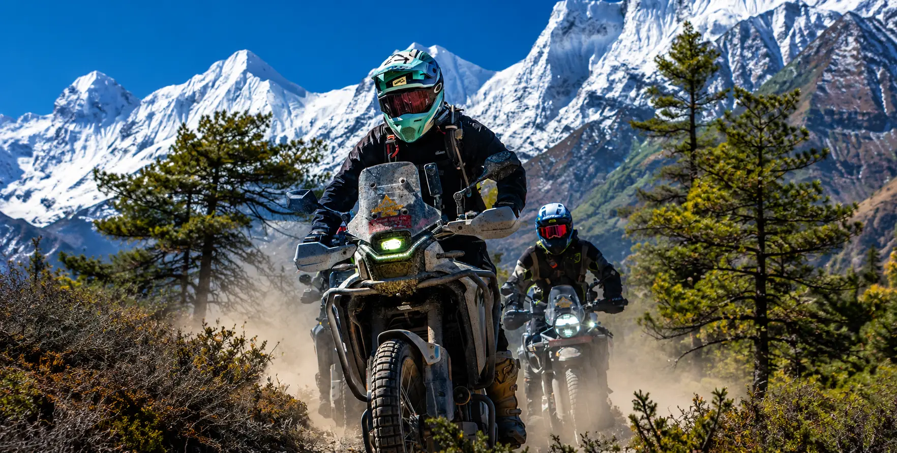
Manang Hidden Valley


Manang Hidden Valley: Historical & Spiritual Significance

Manang Hidden Valley: Historical and Spiritual Significance

There are places in the world where the past does not simply recede into history but continues to breathe, visible in the architecture of the stones, audible in the cadence of a monk’s morning chant, palpable in the quality of the light falling across a landscape that human beings have inhabited for so long that the land itself seems to carry their accumulated presence. Manang Valley is one of these places.

Tucked behind the great wall of the Annapurna massif, hidden from the monsoon rains and from much of the modern world’s attention by the same geography that has defined its character for centuries, Manang is at once one of Nepal’s most visited trekking destinations and one of its least understood — a place that most travellers pass through in two acclimatisation days while preparing for the Thorong La crossing, and that comparatively few take the time to know genuinely.

This essay is an attempt to give Manang Valley the attention its history and spiritual significance genuinely deserve. It draws on the accumulated understanding of Himalayan scholars, the oral traditions of the Manangi people themselves, the physical evidence of ancient monasteries and trade routes, and the broader context of Tibetan Buddhist civilization in the high Himalayas to offer a portrait of a valley that has been a crossroads of commerce, faith, and cultural exchange for at least a thousand years.

Understanding Manang’s history does not merely enrich the experience of passing through it; it fundamentally transforms what a traveler sees when they look at its stone houses, its wind-worn chortens, its ancient monastery clinging to a hillside, and the faces of the people who have made this extraordinary, forbidding landscape their home across countless generations.

Manang District sits at the coordinates of approximately 28.67 degrees north, 84.02 degrees east, in the Gandaki Province of north-central Nepal, covering an area of 2,246 square kilometers and constituting Nepal’s least densely populated district, with 5,658 residents recorded in the 2021 national census — a density of just three persons per square kilometer.

The district’s geography spans elevations ranging from roughly 3,000 meters in the lower valley sections to over 8,000 meters in the surrounding peaks, including Annapurna I at 8,091 meters, Annapurna II at 7,937 meters, Gangapurna at 7,455 meters, and Pisang Peak at 6,091 meters. The valley of Manang town itself sits at approximately 3,519 meters above sea level, in the broad Marsyangdi River valley behind the Annapurna range, looking northward toward the Tibetan plateau and westward toward the great wall of the Thorong La.

It is this geography that has made Manang what it is — a fact worth stating explicitly from the outset because the valley’s history, culture, spiritual character, and the lives of its people are all ultimately expressions of what it means to inhabit this particular landscape at this particular altitude in the heart of the greatest mountain range on Earth. Everything that follows in this essay is, at some level, an elaboration of that foundational geographic reality.

Geography as Destiny: How the Mountains Made the People

The single most important geographic fact about Manang is its position in the rain shadow of the Annapurna massif. The Annapurna range is so tall and so broad — rising to over 8,000 metres across a ridge line that runs roughly east to west, presenting an almost unbroken wall to the moisture-laden monsoon winds that blow northward from the Bay of Bengal each summer — that by the time these winds encounter the northern slopes of the range, the vast majority of their moisture has already been released on the southern faces.

The result is a landscape that receives dramatically less rainfall than the surrounding Nepali hills: Manang Valley receives approximately 200 to 400 millimeters of annual precipitation, compared to 1,500 to 3,000 millimeters in the subtropical hills south of the range. This is not simply a climatic fact — it is the foundational condition that has shaped every aspect of Manang’s human geography.

The arid, rain-shadow landscape of Manang looks, to visitors arriving from Nepal’s lush middle hills, like a different world. The browns and ochres of bare rock and scree replace the greens of terraced rice paddy and subtropical forest. The vegetation is sparse, alpine, and wind-sculpted — juniper and wild rose at the lower elevations, alpine grasses and sedges higher up, and above 4,500 meters, the barren rock and snow of the high Himalayan environment that knows no seasonal softening.

Manang Hidden Valley: Historical & Spiritual Significance

The Marsyangdi River flows through the valley in a channel of startling clarity, fed not by monsoon runoff but by glacial melt from the peaks above, carrying the cold, mineral-rich waters that have supported the high-altitude agriculture — principally buckwheat and barley, the two grains that can be cultivated above 3,000 meters — on which Manang’s population has depended for its subsistence across many centuries.

This landscape demanded, and produced, a particular kind of human being. The Manangi people — known formally as the Nyishangte, a term derived from ‘Nyishang,’ the traditional name for the upper Marsyangdi valley — are among the most physically and culturally adapted highland communities in all of South Asia. Centuries of life at extreme altitude have produced physiological adaptations: a remarkable tolerance for hypoxic conditions, robust cardiovascular systems, and an efficient metabolism calibrated for the high-calorie diet that cold-weather, high-altitude existence demands.

These biological adaptations are matched by equally deep cultural adaptations — traditional knowledge systems for reading weather and avalanche risk, architectural practices that produce buildings capable of surviving decades of extreme cold, wind, and snow loading, and social structures that have historically balanced the needs of a small, isolated community through the careful management of shared resources and collective decision-making.

The landscape also determined the economic logic that would define Manang for centuries. The valley could not produce enough food to sustain its population through agriculture alone, and the resources available in the high pastures — yaks, wool, and the dairy products that sustained life through the long winters — needed to be exchanged for the grain, rice, spices, and manufactured goods that the valley could not produce. This necessity drove the Manangi people northward, over the high passes to Tibet, and southward, down through the Marsyangdi gorge to the middle hills and ultimately to the Terai plains and beyond. Trade was not simply an economic activity for the Manangi; it was a survival strategy, a cultural identity, and the mechanism through which this isolated community maintained its connections to the wider world. Understanding this trade heritage is the key to understanding Manang’s history.

The Nyishangte: Traders of the Himalayan Passes

The origins of permanent human settlement in Manang Valley extend back further than written records can firmly establish. Archaeological evidence from neighboring high-altitude valleys in the Himalayan arc suggests that nomadic pastoralists may have seasonally inhabited these elevations for several millennia, following yak herds to high-summer pastures and retreating southward before winter. The transition from seasonal pastoralism to permanent settlement in Manang itself is generally placed by historians in the first millennium CE, coinciding with the broader expansion of Tibetan cultural and political influence southward across the Himalayan range.

The formal historical record of Manang as a distinctive political and cultural entity becomes clearer in the context of the great trans-Himalayan trade networks that developed during the Licchavi period of Nepali history (approximately the 4th to 9th centuries CE) and expanded dramatically during Tibetan imperial expansion. The Kali Gandaki and Marsyangdi corridors that run north-south through the Himalayan range were among the most important trade arteries in all of Asia during these centuries, carrying salt from the vast salt lakes of the Tibetan plateau southward to the salt-starved communities of Nepal’s hills and plains, and returning northward with grain, rice, spices, cotton textiles, and the other products of the warmer, more agriculturally productive south that Tibet could not produce for itself. Manang Valley, positioned at a critical node on the Marsyangdi branch of this network, became an important staging post and control point on this trade.

The Manangi people’s extraordinary trading prowess and their willingness to travel enormous distances — far beyond Nepal’s borders and into the markets of Tibet, India, and eventually Southeast Asia — are among the most remarkable aspects of their cultural history. In the 1700s, relatives of the Raja of neighboring Mustang briefly ruled Manang, reflecting its strategic position in the region’s shifting power dynamics.

The valley was formally incorporated into Nepal during the Gorkha unification campaigns led by Prithvi Narayan Shah in the 1760s, marking the end of its semi-autonomous status — but the Gorkha kings, recognizing the commercial importance of maintaining Manangi loyalty along the northern border, granted the Nyishangte special trade privileges, including tax exemptions that formalized what had already been a de facto trading freedom for generations.

These royal trade privileges gave the Nyishangte extraordinary advantages in Nepal’s commercial landscape, and the community exploited them brilliantly. By the 19th century, Manangi traders had established commercial networks stretching from Lhasa in the north to Calcutta in the south, and from Burma in the east to Southeast Asia’s port cities in the west.

The image of the Manangi merchant — traveling light, moving quickly, trading in everything from gems and medicinal herbs to textiles and manufactured goods, always returning home to the valley with enough wealth to sustain the community through another Himalayan winter — became one of the defining archetypes of Nepal’s commercial culture. Stories of Manangi trading acumen and the distances their merchants were willing to travel entered Nepali folklore as evidence of what determination and commercial intelligence could accomplish even from the most isolated and unpromising of starting points.

The trade heritage of Manang is visible today not just in historical accounts but in the physical fabric of the valley itself. The quality and scale of the traditional stone houses in Manang village and the surrounding settlements — particularly in Braga, a short walk from the main village — speak to a community that had access to more resources than subsistence agriculture alone could have provided. The monasteries’ collections of thangkas (scroll paintings), ancient manuscripts, and ritual objects from Tibet, India, and beyond reflect the movements of a trading community with connections across the Himalayan world.

And the Manangi people’s reputation for hospitality to travelers—one that now manifests in the quality of Manang’s teahouse infrastructure—has roots in the deeply embedded cultural practice of a community that understood the importance of welcoming those who passed through their valley, whether as trade partners, pilgrims, or guests.

Manang Hidden Valley: Historical & Spiritual Significance

The Arrival and Deepening of Tibetan Buddhist civilization in the spiritual landscape of Manang Valley is inseparable from the history of Tibetan Buddhism’s southward expansion across the Himalayan range. This process began in earnest during the 7th and 8th centuries CE, and it has continued to shape the valley’s religious life in unbroken succession to the present day. Buddhism arrived in the Manang region not simply as a set of doctrines and practices imported from outside, but as the living religious culture of a community already deeply connected to Tibet through trade, language, and kinship — a community for whom the adoption of Tibetan Buddhist practice was less a conversion than a recognition of the religious framework most naturally consonant with their existing worldview.

The founding of the first permanent monasteries in Manang Valley is traditionally dated to the medieval period, with several of the valley’s most ancient religious institutions tracing their origins to the 14th and 15th centuries — the same period that saw the great flowering of Tibetan Buddhist monastery foundation across the high Himalaya, driven by the religious patronage of powerful regional kingdoms and the missionary zeal of the great Tibetan Buddhist teachers of the era. The Sakya, Nyingma, and Kagyu schools of Tibetan Buddhism all established presences in the Manang region during this period, and the layered religious character of the valley — with different monasteries maintaining different lineage traditions and different ritual emphases — reflects this history of multiple simultaneous streams of Buddhist transmission.

The most visible and historically significant of Manang’s monastery foundations is Braga Gompa, locally known as Bhraka Monastery, which sits on a hillside above the small settlement of Braga, approximately fifteen minutes’ walk from the main Manang village. Braga Gompa is consistently described by researchers and religious authorities as one of the oldest and most important Buddhist monasteries in the entire Annapurna region, with its foundation traditionally dated to approximately 600 years ago — placing its establishment in the late 14th or early 15th century.

What makes Braga Gompa particularly remarkable is not simply its age but the quality and completeness of its surviving religious heritage. The monastery houses an extraordinary collection of ancient statues, thangka paintings, and religious manuscripts that have survived in remarkable condition, protected by the combination of the valley’s extreme dryness and the continuity of monastic care that has sustained the institution for six centuries.


Walking through Braga Gompa is an experience that carries the visitor across centuries in a few meters. The central hall contains statues of a quality and antiquity rarely encountered outside major museum collections, their gilded surfaces and intricate detailing reflecting the finest standards of Tibetan Buddhist sacred art from the medieval period. The walls are lined with thangka paintings — the elaborate scroll paintings on silk that serve simultaneously as devotional objects, teaching aids, and artistic expressions of Buddhist cosmological understanding — depicting the great saints and bodhisattvas of the Tibetan tradition in iconographic programs that tell the complete story of the Buddhist path from ordinary consciousness to full Enlightenment. Ancient manuscripts in Tibetan script, some several centuries old, line the shelves in the monastery’s library, preserving texts representing important transmissions of Buddhist teaching that might otherwise have been lost.

The religious life of Braga Gompa continues today, maintained by a community of monks who observe the daily rituals of prayer, meditation, and ceremonial observances that have characterized the monastery’s practice throughout its history. The morning prayers at Braga — beginning before dawn, with the deep resonance of horns and drums mingling with the monastic chant in the cold mountain air — create an atmosphere of concentrated spiritual practice that most visitors find profoundly affecting, regardless of their religious background or prior familiarity with Buddhist practice. There is something in the combination of the ancient setting, the continuous living tradition, and the physical stillness of the high-altitude dawn that makes Braga Gompa at morning prayer one of the most genuinely moving encounters available anywhere along the Annapurna Circuit.

Beyond Braga, the spiritual landscape of Manang Valley is richly studded with the physical markers of Tibetan Buddhist civilization. Mani walls — long stone barriers constructed of flat stones individually carved with Buddhist mantras, most commonly the foundational mantra Om Mani Padme Hum — run alongside the trails between villages, their accumulated weight of individual devotional effort representing centuries of laypeople’s spiritual practice materialized in stone. Chortens (stupas) of various sizes and periods mark the approaches to villages, the tops of passes, and sites of particular spiritual significance.

their whitewashed forms visible from considerable distances against the brown and ochre of the valley landscape. Prayer flags in the five traditional colors — each color associated with one of the five elements and carried on the wind as continuous offerings of prayer for the benefit of all sentient beings — are strung between rooftops and across passes. Over the spans of suspension bridges throughout the valley, their faded, wind-torn appearance speaks eloquently of the continuous passage of time and weather that characterizes high-altitude Himalayan life.

Milarepa and the Sanctification of the High Passes

Of all the spiritual presences associated with the Manang Valley and its surrounding landscape, none carries greater weight in the living religious imagination of the Himalayan Buddhist world than Jetsun Milarepa — the great 11th-century Tibetan saint, poet, and meditator whose life story represents one of the most dramatic narratives of spiritual transformation in the entire Buddhist tradition. Milarepa, born in 1052 CE in western Tibet, began his spiritual life as a practitioner of black magic who used his powers to avenge his family’s mistreatment at the hands of relatives, causing the deaths of multiple people in the process.

The profound guilt he experienced following these acts drove him to seek a teacher who could help him purify the negative karma he had accumulated, leading him ultimately to the great Kagyu master Marpa the Translator, under whose harsh and demanding tutelage he underwent years of spiritual trial before receiving the full transmission of Kagyu Buddhist teachings.

Manang Hidden Valley: Historical & Spiritual Significance
Milarepa and the Sanctification

Milarepa subsequently devoted decades of his life to solitary meditation in caves throughout the high Himalaya, eventually attaining what the Tibetan Buddhist tradition describes as full Enlightenment within a single lifetime — a feat considered exceptional even within a tradition that regards Enlightenment as the universal goal of human existence. The caves in which Milarepa meditated became immediately and permanently sacred in the eyes of his followers, and the tradition of marking, protecting, and visiting these meditation sites has continued unbroken across the nine centuries since his death.

The Milarepa Cave near Manang — a natural rock cavity on the hillside above the valley — carries this sanctifying association with one of the most revered figures in the entire Himalayan Buddhist world. The cave is described in local tradition as a site where Milarepa rested and meditated during his journeys through the high passes, and physical impressions in the rock of the cave interior are attributed to the imprint of his meditation postures — an attribution consistent with similar traditions at numerous Milarepa cave sites throughout Nepal and Tibet.

Whether or not one accepts the literal historical accuracy of these attributions, the deeper significance of the Milarepa Cave association is the way it connects Manang Valley to the broadest currents of Himalayan Buddhist spirituality: the tradition of the wandering meditator who sanctifies the high mountain landscape through the quality of contemplative practice brought to bear upon it, and who leaves behind not just physical impressions in rock but a living presence of spiritual energy that subsequent practitioners can access and draw upon.

The idea that the meditation of great teachers has sanctified the landscape of the high Himalaya — that the mountains, lakes, caves, and passes carry a spiritual charge accumulated across generations of contemplative practice — is fundamental to the religious sensibility that animates life in Manang Valley. This is not merely a metaphorical claim but a living dimension of the Manangi people’s relationship to their environment, shaping which sites are regarded as spiritually potent, which directions are considered auspicious for particular activities, which passes are approached with particular ritual care, and how the rhythms of natural phenomena are interpreted within a cosmological framework that sees the natural and the sacred as fundamentally inseparable categories.

Praken Gompa and the Living Tradition of Blessing

Perched on the hillside above Manang at approximately 3,940 meters, Praken Gompa (also written as Pragken Gompa) is one of the most practically significant religious institutions in the valley for the trekking community that now passes through Manang in large numbers each season. The monastery is home to an elderly monk who has maintained the practice of blessing trekkers before they attempt the challenging climb toward Thorong La Pass. This tradition has become one of the most celebrated and emotionally resonant encounters available on the entire Annapurna Circuit route.

Praken Gompa-Manang Hidden Valley: Historical & Spiritual Significance

The blessing offered at Praken Gompa is not a tourist performance or a cultural display staged for visiting trekkers; it is an authentic expression of the Buddhist practice of dedicating merit and generating protective intention for those undertaking a potentially dangerous journey. The monk’s blessing is accompanied by prayers from the Tibetan Buddhist liturgical tradition, by the tying of a blessing cord around the recipient’s wrist, and by the particular quality of personal attention and genuine spiritual intention that a practitioner with decades of experience brings to the act.

Many trekkers who have received the blessing at Praken Gompa describe the encounter as one of the most unexpectedly moving moments of their entire Annapurna Circuit experience — a brief but genuine encounter with a living tradition of Himalayan Buddhist kindness that reaches across the considerable cultural and linguistic distance between an isolated mountain monk and a visitor from the urban centers of the modern world.

The tradition of seeking a blessing before a dangerous mountain crossing reflects deep roots in the religious culture of all Himalayan communities. The high passes of the Himalaya have always been understood not simply as geographic challenges but as thresholds between worlds — places where the thin air and the extremity of the environment bring human beings into closer proximity with the non-human dimensions of existence that Tibetan Buddhist cosmology describes in elaborate detail.

Approaching such a threshold with the appropriate spiritual preparation, including the protection of a monk’s prayers and the merit generated by an act of devotional humility, is not superstition but a rational response to the genuine precariousness of high-pass travel in an environment where the weather can change within hours and where the consequences of a wrong turn or a sudden storm can be fatal. The blessing of Praken Gompa has kept this understanding alive in the consciousness of the tens of thousands of trekkers who have sought it over the years since the Annapurna Circuit became a major international trekking route.

Yartung: The Great Festival of the Valley

Of all the cultural events that animate life in Manang Valley across the annual calendar, none is more spectacular or more deeply rooted in the community’s historical identity than the Yartung Festival, held each year in August or early September according to the Tibetan lunar calendar. Yartung is primarily associated with horse racing — the sight of riders galloping across the broad Manang valley floor beneath a backdrop of snow peaks, with prayer flags streaming in the mountain wind and the entire community gathered on the hillsides to watch and celebrate, is one of the most dramatic cultural spectacles available anywhere in Nepal — but to understand Yartung only as a horse race is to miss the deeper layers of meaning it carries.

In Tibetan Buddhist cultural tradition, the horse is not merely a domestic animal but a sacred symbol of spiritual power, speed, and the capacity to carry prayers and aspirations into the higher realms. The Lung-ta, or Wind Horse, is one of the central symbols of Tibetan Buddhist iconography, depicted on prayer flags as the creature that carries the jewel of perfect wisdom across the space between the ordinary and the sacred — and the horses of Yartung, racing across the Manang valley floor, carry echoes of this symbolic resonance. The festival is simultaneously a celebration of the community’s pastoral heritage, a religious observance in honor of the protective deities of the valley and the high passes, a community gathering that reinforces social bonds across a population otherwise scattered across the landscape in small settlement clusters, and an assertion of cultural vitality in the face of the considerable challenges that modernity poses to the traditional way of life.


Yartung Festival-Manang Hidden Valley: Historical & Spiritual Significance
Yartung-Festival

Yartung also involves traditional songs, communal feasts, the wearing of elaborate traditional dress, and the performance of masked dances at the valley’s monasteries that mirror the more famous Mani Rimdu celebrations of the Everest region and the Tiji Festival of Lo Manthang in their function as community-wide expressions of the Buddhist cosmological narrative and its application to the specific geography and history of the local community. The August-September timing of Yartung coincides with the end of the short growing season and the beginning of the harvest period, linking the festival to the agricultural cycle that has governed life in the valley for centuries and connecting the celebration’s religious and social dimensions to the material realities of high-altitude subsistence.

Losar, the Tibetan New Year celebrated in February or March according to the lunar calendar, is the other great religious festival of Manang’s community calendar. During Losar, butter lamps are lit in every home and monastery, fresh prayer flags are hung across the valley in a ritual renewal of the protective spiritual framework they represent, and the community gathers at the monasteries for masked dances and blessings that mark the transition from the old year to the new. The timing of Losar at the darkest, coldest point of the Himalayan year — when the community has been isolated for months by winter snow and the passes are closed — gives the festival a particular emotional intensity: the light of the butter lamps is not merely symbolic but genuinely precious in the deepest mountain winter, and the communal gathering of Losar breaks a long period of the isolation that even the most resilient Himalayan community finds challenging in its accumulation.

Tilicho Lake: Sacred Waters at the Edge of the Possible

No account of Manang Valley’s spiritual significance would be complete without addressing Tilicho Lake, the extraordinary glacial body of water that lies at approximately 4,919 meters above sea level on a high shelf above the valley’s western approach, and that holds a specific place in the Hindu religious imagination as a site of exceptional sacred power. Tilicho Lake is widely described as the highest lake of significant size in the world, a distinction that in itself carries the kind of superlative quality that Himalayan sacred geography tends to associate with proximity to the divine — the higher the elevation, the closer to the celestial realms, the more concentrated the spiritual potency of the place.

In Hindu tradition, Tilicho Lake is associated with the Ramayana: the lake is believed to be the site where Lord Ram’s devotee, Hanuman, collected the medicinal herb Sanjivani to revive the fallen Lakshmana during the great battle of Lanka. This association connects Tilicho to one of the most widely known and emotionally resonant narratives in South Asian religious culture. It has made the lake a site of pilgrimage for Hindu devotees alongside its role as a destination for Tibetan Buddhist practitioners and secular trekkers.

Tilicho lake -Manang Hidden Valley: Historical & Spiritual Significance

The fact that a single natural feature can carry this kind of multi-tradition sacred significance — revered by both Hindu and Buddhist practitioners for different but equally deep reasons — is characteristic of the Himalayan religious landscape more broadly, where the boundaries between traditions have historically been more permeable than the doctrinal categories of each tradition might suggest.

The journey from Manang village to Tilicho Lake takes approximately three to four days on a round trip, involving a significant high-altitude crossing that tests even well-acclimatized trekkers. The approach passes through increasingly stark, alpine terrain above the tree line and ultimately traverses a snowfield below the lake before reaching the lakeshore itself. The view from the Tilicho shore — the vast expanse of high-altitude water reflecting the surrounding peaks, the absolute stillness of the air at this elevation, the sense of having reached an extremity of the habitable world — consistently produces in visitors an experience that they struggle to describe in ordinary language.

The combination of physical effort, extreme altitude, extraordinary beauty, and the accumulated spiritual associations of the site creates something that many visitors describe as a moment of genuine transcendence, a disruption of ordinary consciousness that produces insight or feeling unavailable at lower elevations and lower levels of physical and emotional intensity.

The Living Landscape: Glaciers, Sacred Waters and Himalayan Ecology

The spiritual significance of Manang Valley is not confined to its monasteries, its festivals, or the mythological associations of specific sites. It extends, in the Tibetan Buddhist understanding that animates the religious life of the Manangi community, to the landscape itself — to the glaciers that feed the valley’s rivers, the peaks that define its horizons, and the ecology of the high alpine zone that connects the human community to a web of non-human life stretching from the golden eagle circling above Gangapurna Peak to the snow leopard whose pug marks occasionally appear in the fresh snow above the last settlement and whose presence in the landscape is regarded not simply as a wildlife sighting but as an encounter with a being of exceptional spiritual significance in the Tibetan Buddhist cosmological framework.

annapurna range -Manang Hidden Valley: Historical & Spiritual Significance

Gangapurna Peak at 7,455 meters and its associated glacier form the most dramatically visible feature of Manang’s immediate mountain setting, the glacier’s lower reaches ending in the distinctive turquoise glacial lake that lies just a short walk from the main village and that has become one of the most photographed natural features in the entire Annapurna region. The word ‘Gangapurna’ itself carries significant meaning — ‘Ganga’ refers to the sacred river of Hinduism, and ‘purna’ means complete or full — connecting the peak to the broader sacred geography of South Asian water mythology and the deep cultural significance of river sources and glacier-fed springs in the religious traditions of the region.

The glacial lakes of the Manang area — Gangapurna Lake, Ice Lake (Kicho Tal) at 4,600 metres, and ultimately Tilicho Lake — are all understood within the local religious cosmology as sacred water bodies, connected to the naga (serpent deity) tradition of Tibetan and Hindu religious geography that regards bodies of water as the domain of powerful non-human beings whose wellbeing is directly connected to the health of the surrounding landscape and community. Ritual offerings to the nagas of these lakes are part of the traditional religious practice of Manang’s community, maintained alongside the more visible Tibetan Buddhist practices of the monastery system, within a layered religious ecology that has adapted ancient pre-Buddhist traditions of landscape veneration into the broader framework of Himalayan Buddhist practice.

The retreat of Gangapurna Glacier, clearly documented in satellite imagery and the living memory of longtime Manang residents over recent decades, is experienced by the Manangi community not merely as a climatic observation but as a deeply troubling spiritual and ecological portent. The glaciers are understood as the sources of the valley’s water, the foundations of its agricultural possibility, and the physical embodiment of the sacred relationship between the high mountain landscape and the human community that has made its home within it. Their retreat is watched with an anxiety that combines practical concern for the valley’s water future with a more diffuse but deeply felt spiritual unease — a sense that something essential in the relationship between the human community and its mountain environment is being disrupted in ways whose full consequences are not yet visible but whose significance is unmistakable.

Stone, Wood, and Wind: The Architecture of Himalayan Faith

The built environment of Manang Valley is itself a form of spiritual expression, encoding in its materials, its proportions, and its spatial organization the values and cosmological understandings of a community shaped by centuries of Tibetan Buddhist practice and high-altitude necessity. The traditional stone houses of Manang and Braga — flat-roofed, massively walled, built from the local schist and granite that the glaciers have scoured from the surrounding peaks and deposited in the valley floor — are among the finest examples of vernacular high-altitude domestic architecture anywhere in the Himalayan arc. Their walls, often a meter or more thick, provide the thermal mass needed to maintain habitable temperatures through the extreme winters. At the same time, their flat roofs serve as drying platforms for the barley and buckwheat harvest that sustains the community through the months when the passes are closed, and the valley is sealed into its winter isolation.

The spatial relationship between domestic architecture and religious architecture in Manang reflects the Tibetan Buddhist understanding of the sacred as something that interpenetrates ordinary life rather than existing apart from it. Monasteries are built into the hillsides above the village, looking down over the settlement, visually and symbolically placing the religious institution in a position of protective oversight over the community below. Prayer walls run alongside the paths between buildings and between settlements, so that the act of walking the ordinary routes of daily life — from house to field, from village to pasture — is simultaneously an act of devotional practice, the walker’s movement past the carved mantras generating merit for both the walker and for all beings.

The artistic heritage preserved within Manang’s monasteries and visible in the carved and painted surfaces of even modest domestic and religious structures speaks to a community with deep roots in the high tradition of Tibetan Buddhist art. The thangka paintings of Braga Gompa, the carved mani stones of the valley’s prayer walls, and the decorative elements of the older domestic buildings reflect a visual culture of considerable sophistication — one that served not merely aesthetic but deeply functional purposes, using the language of sacred iconography to make the abstract truths of Buddhist teaching concrete and accessible to a largely non-literate rural community for whom image and symbol carried the weight that text carried in more literate traditions.

Manang in the Modern World: Continuity, Change and Cultural Resilience

The Manang that the contemporary trekker encounters is a community in active negotiation with modernity — not a museum piece frozen in an idealised past but a living society confronting the same pressures of economic change, cultural contact, and environmental uncertainty that characterise communities across the developing world, while simultaneously drawing on the deep reserves of cultural resilience and adaptive intelligence that have sustained the Manangi people through centuries of challenge far more absolute than anything the present moment imposes.

The arrival of the Annapurna Circuit as an international trekking route in the 1970s and the broader opening of Nepal to foreign tourism transformed Manang’s economy in ways that are still unfolding. Tourism has become the primary income source for most Manang households, with over fifty lodges operating in the upper Manang valley area and the daily flow of international trekkers through the village during peak season generating economic activity on a scale that the traditional combination of agriculture and trans-Himalayan trade could never have produced. Daily foreign tourist arrivals exceeded 270 as of November 2025, indicating continued growth in the 2025/26 fiscal year, and the valley’s infrastructure — its teahouses, communications networks, and medical facilities anchored by the Himalayan Rescue Association clinic, which educates trekkers about altitude sickness — reflects this economic transformation.

Manang Hidden Valley: Historical & Spiritual Significance

The cultural consequences of this economic change are more complex to assess. On one hand, the income generated by tourism has allowed many Manangi families to maintain their presence in the valley rather than migrating permanently to Kathmandu or Pokhara as economic necessity might otherwise have demanded — keeping the community alive in its home landscape even as the traditional economic base of herding and highland agriculture has declined. The interest of international visitors in Manang’s monasteries, festivals, and cultural practices has created economic incentives for their preservation and, in some cases, supported the restoration of religious heritage that might otherwise have deteriorated without maintenance funding.

On the other hand, the homogenizing pressures of global tourism culture — the standardization of menus, the adoption of international guesthouse norms, the gradual displacement of the local Loba dialect by Nepali as the primary language of inter-community communication — create real risks of cultural dilution over time. The Manangi community’s characteristic historical response to external cultural pressure has been a sophisticated balancing act: adopting what is useful from outside while maintaining the core elements of identity — language, religious practice, festival tradition, community governance — that define the community to itself. This adaptive capacity has served the Manangi well across centuries of changing external circumstances, and there is good reason to believe it will continue to do so. Still, the speed and reach of contemporary cultural globalization represent a challenge of a different order of magnitude from anything the community has navigated before.

Reaching Manang: The Vehicle Hire Journey from Kathmandu or Pokhara

Understanding the historical and spiritual significance of Manang Valley deepens the experience of reaching it by every available means. Still, the practical reality of the journey itself deserves careful attention for travelers planning their visit. Manang is accessible either by the traditional trekking route along the Annapurna Circuit — a journey of approximately 7 to 10 days on foot from Besisahar — or by a combination of vehicle transport and walking that has become increasingly common as the jeep road through much of the lower Annapurna Circuit has been developed and extended in recent years.

The most common vehicle-assisted approach to Manang in 2025 begins with a private vehicle transfer from Kathmandu or Pokhara to Besisahar — the gateway town of the Annapurna Circuit — and then continues with a 4WD jeep from Besisahar through Chame and onward to Manang. The distance from Kathmandu to Besisahar is approximately 175-178 kilometers and typically takes 6-8 hours by private vehicle. In comparison, the distance from Pokhara to Besisahar is approximately 106 kilometers and takes 3 to 4 hours. From Besisahar, the rough mountain road to Chame covers a further 65 to 70 kilometers and requires a dedicated 4WD jeep and an experienced driver, taking 4 to 6 hours. The road continues from Chame onward to Manang for those who wish to access the valley by vehicle rather than on foot.

Manang Hidden Valley: Historical & Spiritual Significance

Nepal Vehicle Hiring Pvt Ltd (vehiclehiringnepal.com) provides private vehicle hire for every stage of the approach to Manang Valley, with vehicles matched to the specific road conditions of each segment — a comfortable SUV or private car for the Kathmandu-Besisahar or Pokhara-Besisahar highway legs, upgrading to a properly equipped Toyota Land Cruiser or equivalent 4WD jeep for the Besisahar-to-Chame and Chame-to-Manang mountain road segments where the terrain genuinely demands this capability.

Our drivers for the upper Annapurna Circuit approach are experienced on these roads, with the route knowledge and technical driving skills required to handle the demanding conditions of the Besisahar-Chame track. All our Manang approach transfers are fully inclusive of vehicle, experienced driver, fuel, and applicable tolls, with transparent pricing in both Nepali rupees and US dollars.

For trekkers who are visiting Manang specifically for its historical and spiritual dimensions — rather than simply as an acclimatisation stop on the way to Thorong La — we recommend building additional time into any Manang itinerary, both for the valley’s own exploration and for the side trips to Braga Gompa, Praken Gompa, Gangapurna Lake, and ultimately Tilicho Lake that reveal the full depth of what this extraordinary high-altitude valley has to offer. The jeep road gives access to the valley; what the valley reveals to those who take time to look and listen is something that no road, however well-maintained, can deliver by itself.


Conclusion: What Manang Teaches

Manang Valley teaches, above all, the extraordinary human capacity for meaningful existence in apparently impossible circumstances. A community of fewer than six thousand people, inhabiting one of the harshest, most isolated, and most demanding high-altitude environments anywhere on Earth, has sustained for centuries a civilization of genuine richness — artistically, spiritually, commercially, and socially.

The monasteries of Braga and Praken Gompa are not merely old buildings but living institutions of spiritual practice. The festivals of Yartung and Losar are not folk customs but profound expressions of a cosmological understanding that has guided human beings through centuries of Himalayan challenge. The mani walls and prayer flags that line every path in the valley are not decorations but the material expression of the understanding that daily life and spiritual practice are not separate categories but rather dimensions of a single, integrated reality.

The Milarepa Cave sanctifies the landscape with the presence of one of the Himalayan Buddhist world’s greatest spiritual figures. Tilicho Lake connects the valley to the sacred geography of both Hindu and Buddhisttraditionsn. The glaciers and the alpine ecology of the surrounding peaks are understood not as scenery but as participants in a web of relationships that includes the human community and demands its respectful attention.

The trans-Himalayan trade heritage of the Nyishangte people speaks to the extraordinary reach of human ingenuity and determination in the face of geographic isolation. And the valley’s ongoing negotiation with modernity, undertaken with the same adaptive intelligence that has sustained the Manangi community across centuries of change, offers a quietly inspiring example of what cultural resilience looks like when rooted in something deep enough towithstande the pressures the contemporary world applies to communities everywhere.

For travellers who arrive in Manang not simply as acclimatisation stoppers but as genuine visitors to a place of exceptional historical and spiritual significance, the valley offers what the best travel always offers: an encounter with a way of understanding and inhabiting the world that is fundamentally different from the one you brought with you, and that leaves you — if you are paying attention — with questions and perceptions that continue to work on you long after the journey is complete. Manang is not hidden in the sense of being difficult to find; it is on the map and on the trekking circuit, visited by tens of thousands of travelers each year. It is hidden in the deeper sense: hidden within the ordinary appearance of things, waiting for the kind of attention that sees not just the stone houses and the prayer flags but the centuries of human meaning those surfaces contain.


Book Your Manang Valley Jeep Transfer Today  

Email:[email protected]
WhatsApp: +977 9851013196

Kathmandu / Pokhara Besisahar  |  Besisahar → Chame Chame → Manang

 Private Cars, SUVs & 4WD Jeeps  |  Experienced Drivers  |   NPR & USD Pricing  |  24/7 Support
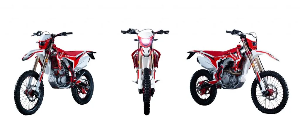
Mahindra Bolero and Tata Sumo – Nepal’s Most Popular Trekking Transfer Vehicles

Mahindra Bolero & tata sumo Nepal-vehicle hire in Nepal


The Unsung Heroes of Nepal’s Trekking World

When travelers think about vehicle hire in Nepal, the conversation often begins with the Toyota Land Cruiser and ends with the Mahindra Scorpio. Both are superb vehicles — but in the practical, real-world ecosystem of Nepal’s trekking access routes, two vehicles carry more trekkers to more trailheads across more routes every single day than any other: the Mahindra Bolero 4WD and the Tata Sumo. These are Nepal’s trekking transfer workhorses — rugged, affordable, spacious, and proven across decades of demanding mountain road service.

The Mahindra Bolero and Tata Sumo occupy a unique and essential position in Nepal’s vehicle hire landscape. They are not luxury vehicles, and they make no pretense of being so. They are purpose-built mountain utility vehicles whose robust body-on-frame construction, switchable 4WD systems, high ground clearance, powerful diesel engines, and generous passenger and luggage capacity make them precisely matched to what Nepal’s trekking access routes demand: capability, reliability, capacity, and value. A group of 7 trekkers with full expedition packs heading to Besisahar for the Annapurna Circuit, a party of 9 heading to Syabrubesi for the Langtang Circuit, a family of 7 bound for Kuri Village at Kalinchowk in December snow — in every one of these scenarios, the Bolero or Sumo is the vehicle that gets the job done most effectively, most affordably, and most reliably.

This guide from Nepal Vehicle Hiring Pvt Ltd is the most complete resource available on the Mahindra Bolero and Tata Sumo as Nepal trekking transfer vehicles — covering vehicle specifications in depth, the full range of trekking routes they serve, why they are chosen over alternatives, how they compare to the Scorpio and Land Cruiser, seasonal considerations, group size recommendations, booking guidance, and a comprehensive FAQ.

Book your Bolero or Sumo: Nepal Vehicle Hiring – Jeep Hire | All Vehicles | Call/WhatsApp: +977 9851013196


Mahindra Bolero & Tata Sumo – Complete Specifications 2026

SpecificationMahindra Bolero 4WDTata Sumo Gold / Grande
Engine1.5L mHawk / 2.5L MDI Diesel3.0L DICOR Diesel / 2.0L Diesel
Power Output74–100 bhp @ 3,600 rpm75–90 bhp @ 3,600–4,000 rpm
Torque210–280 Nm @ 1,600–2,200 rpm220–260 Nm @ 1,800–2,200 rpm
4WD SystemSwitchable 4WD (2H / 4H / 4L)Switchable 4WD (4×4 versions)
Ground Clearance180 mm175–185 mm
Seating Capacity7 passengers (2+3+2 layout)7–9 passengers (various layouts)
Fuel Tank60 litres65–70 litres
Kerb Weight1,620 kg1,700–1,850 kg
Transmission5-speed manual5-speed manual
Body TypeSUV / Body-on-frameSUV / Body-on-frame
ACYes – standardYes – standard
Best Nepal UseAll off-road mountain routes; most popular trekking transferOff-road capable; excellent value for large groups, 7-9 pax


Mahindra Bolero & tata sumo Nepal-vehicle hire in Nepal

The Mahindra Bolero – Nepal’s Most Widely Hired Trekking Vehicle

A Vehicle Born for Mountain Roads

The Mahindra Bolero has been in production since 2000 CE — making it one of the longest-running and most-proven utility SUVs in the South Asian automotive market. In India, it is the best-selling UV (Utility Vehicle) in rural and semi-urban markets for over two decades; in Nepal, it has earned an equivalent reputation as the most trusted vehicle in the mVehicle districts — used by local operators, trekking agencies, district government, NGOs, community health workers, and trekking transfer companies across the length and breadth of Nepal’s hill and mountain zones.

The Bolero’s appeal in Nepal is rooted in a set of characteristics that align almost perfectly with what the country’s mountain environment demands:

  • Mechanical Simplicity: The Bolero’s engineering philosophy prioritizes proven, repairable, long-lasting mechanical systems over complex technology. In remote mountain districts where the nearest qualified mechanic may be hours away, a vehicle that any experienced driver can identify and fix basic issues with basic tools is not merely preferable — it is genuinely safer.
  • Body-on-Frame Construction: Unlike monocoque (unibody) crossover SUVs that are increasingly common in urban markets, the Bolero uses a traditional body-on-frame chassis — a separate structural frame on which the body is mounted. This construction method delivers superior torsional rigidity for off-road use, better ability to carry heavy loads without chassis flex, and much greater repairability after impacts — all critical qualities on Nepal’s mountain roads where vehicles encounter rocks, ruts, and occasional impacts from narrow road edges.
  • Ground Clearance: The Bolero’s 180 mm ground clearance — significantly higher than any city SUV or crossover — provides the undercarriage protection and obstacle-clearance capability required on Nepal’s rocky mountain tracks. This clearance allows the Bolero to pass over rocks, exposed root systems, drainage culverts, and the accumulated debris that characterizes Nepal’s off-road mountain surfaces without grounding the chassis.
  • Switchable 4WD System: The Bolero 4WD version features a manual transfer case with three modes: 2H (two-wheel drive high), 4H (four-wheel drive high), and 4L (four-wheel drive low range). The low-range 4L mode is critical for Nepal’s steepest mountain-track ascents — it multiplies engine torque to deliver maximum traction and climbing force on sections such as the Charikot–Kuri Village road and the Besisahar–Dharapani upper gorge.
  • Powerful Low-End Diesel Torque: The Bolero’s diesel engines are tuned for maximum torque at low RPM — precisely the power characteristic required for Nepal’s mountain tracks where gradients are steep, and road surfaces are loose. High-RPM petrol engines that deliver their peak power at 5,000–6,000 RPM are genuinely unsuitable for low-speed steep climbing; the Bolero’s 210–280 Nm of torque available from 1,600 RPM provides exactly the right power character.
  • 7-Passenger Capacity with Luggage Space: The Bolero’s 2+3+2 seating configuration (7 passengers) accommodates a complete trekking group — typically 5–7 people — with rear luggage space for trekking backpacks, sleeping bags, and equipment. For groups of exactly 7, the Bolero is the perfect fit—a single—vehicle solution— carrying the entire Group in one vehicle without the additional cost of a second vehicle.

Mahindra Bolero & tata sumo Nepal-vehicle hire in Nepal

Mahindra Bolero Variants Used in Nepal – Understanding the Differences

Nepal Vehicle Hiring and other operators use several Bolero variants for trekking transfers:

  • Bolero 4WD (Standard): The most common variant for off-road trekking routes. Switchable 4WD, 7 seats, AC. Used for all Category 3 off-road routes, including Besisahar–Dharapani, Charikot–Kuri, and Nayapul–Ulleri.
  • Bolero Neo 4WD: The newer-generation Bolero Neo (built on the same platform as the Scorpio) features a 5L mHawk100 diesel engine (100 bhp), improved suspension, better interior quality, and modern features including USB charging and a more refined dashboard. The Neo is growing in use for premium trekking transfers where slightly better interior comfort is valued alongside off-road capability.
  • Bolero Camper / Pickup: The Bolero Camper version with an open rear deck is widely used by trekking operators to carry heavy expedition equipment, porter loads, and group gear. It is not used for passenger-primary trekking transfers but is essential for expedition logistics.


The Tata Sumo – Nepal’s Large-Group Trekking Transfer Vehicle

The Sumo’s Place in Nepal’s Trekking Ecosystem

The Tata Sumo — produced by India’s Tata Motors and sold in Nepal since the late 1990s — is in many respects the Bolero’s larger, more spacious sibling in Nepal’s trekking transfer market. Where the Bolero’s primary advantage is its proven 4WD capability at the most accessible price point, the Sumo’s defining competitive advantage is passenger capacity — with some Sumo configurations accommodating up to 9 passengers, making it the most cost-effective per-head trekking transfer vehicle for larger groups of 8–9 people.

The Tata Sumo Grande and Gold variants are the most commonly used in Nepal’s trekking transfer market. The Sumo Grande’s longer wheelbase and more spacious cabin accommodate more passengers and luggage than the Bolero, making it particularly valued for expedition-style trekking groups with substantial gear, school groups visiting trekking areas, and pilgrimage parties of 8–9 people who need a single-vehicle solution.

Mahindra Bolero & tata sumo Nepal-vehicle hire in Nepal

Why the Tata Sumo Is Preferred for Larger Groups

In Nepal’s trekking transfer context, the Tata Sumo’s advantages over the Bolero are specifically related to capacity:

  • 9-Passenger Versions: The Tata Sumo Gold and Grande can be configured for up to 9 passengers — two more than the Bolero’s maximum 7. For a trekking group of 8–9 people, hiring a single Sumo is more economical than two Boleros, and the unified Group travels more conveniently.
  • More Luggage Space: The Sumo’s larger boot and rear cargo area accommodate more trekking gear — particularly important for longer expeditions (10+ day treks like the Manaslu Circuit or Kanchenjunga) where each trekker carries a larger expedition pack, plus porter loads of camp equipment and food supplies.
  • Spacious Cabin: The Sumo’s wider body and taller roofline provide more headroom and lateral space than the Bolero — a meaningful comfort advantage on longer trailhead approach drives (Kathmandu to Salleri for Everest is 7–9 hours; Kathmandu to Taplejung for Kanchenjunga is 12+ hours). The extra interior space reduces the claustrophobia and fatigue of very long group drives.
  • Strong Diesel Engine for Load: The Sumo’s 0L DICOR diesel engine produces excellent low-end torque, making it well-suited to carrying heavy loads (9 passengers plus expedition packs can exceed 1,000 kg payload) on steep mountain tracks. This is a meaningful advantage over lighter vehicles that struggle with maximum passenger and luggage loads on ascents.


Mahindra Bolero & tata sumo Nepal-vehicle hire in Nepal

Tata Sumo 4WD – The Off-Road Version

While many Tata Sumos in Nepal’s hire market are 2WD (rear-wheel drive) vehicles suitable for paved highways and moderate dirt roads, Nepal Vehicle Hiring specifically operates Tata Sumo 4WD versions for mountain trekking transfers requiring genuine off-road capability. The Sumo 4WD features a switchable 4WD transfer case, offering the same 2H / 4H / 4L modes as the Bolero, with comparable ground clearance and off-road capability for routes such as the Besisahar–Dharapani track and the Syabrubesi approaches.

Nepal Vehicle Hiring advises clients: when booking a Tata Sumo for an off-road trekking route, always confirm with us that the specific vehicle is a 4WD — not all Sumos in Nepal’s hire market are 4WD, and deploying a 2WD Sumo on off-road mountain routes would be unsafe and impractical. All Nepal Vehicle Hiring Sumos used for mountain trekking transfers are confirmed 4WD versions.


Why Bolero and Sumo Dominate Nepal’s Trekking Transfer Market

1. The Price-Performance Advantage

In Nepal’s competitive trekking transfer market, the Bolero and Sumo occupy the optimal price-performance sweet spot — delivering genuine off-road 4WD capability and adequate passenger/luggage capacity at significantly lower hire rates than the Scorpio and Land Cruiser. For a trekking group of 6–7 people splitting the cost of a private Bolero hire from Kathmandu to Besisahar, the per-person cost may be comparable to or even cheaper than a shared jeep — and the private hire provides incomparably better timing flexibility, comfort, and group cohesion than a shared vehicle. This democratization of private mountain vehicle hire — making it genuinely affordable for standard budget trekking groups rather than only premium travelers — is the Bolero and Sumo’s most significant contribution to Nepal’s trekking transport ecosystem.

2. Mechanical Reliability in Remote Areas

Nepal’s trekking routes take vehicles into areas where the nearest garage may be 3–6 hours away and where mobile phone coverage is intermittent. In this environment, mechanical reliability is not merely a comfort consideration — it is a safety requirement. Both the Bolero and Sumo are built on mechanically conservative engineering principles — tried-and-tested diesel powertrains, simple suspension systems, easily sourced spare parts, and construction that prioritizes durability and repairability over technical sophistication. Nepal’s mountain drivers and mechanics know these vehicles intimately — every workshop in Nepal’s hill districts stocks Bolero and Sumo spare parts as standard inventory. A stranded Bolero in a remote mountain area has a far greater chance of being repaired on-site than a stranded Land Cruiser with sophisticated electronics and proprietary components.

3. Spare Parts Availability Across Nepal

The Mahindra Bolero and Tata Sumo have the widest availability of spare parts among 4WD vehicles in Nepal. Authorized Mahindra dealers (Agni Inc.) and Tata dealerships operate across Nepal’s major cities and district headquarters, and independent spare parts suppliers in Besisahar, Beni, Charikot, Pokhara, Butwal, Nepalgunj, and virtually every district capital stock these vehicles’ standard consumable components. This availability network means that even a significant mechanical problem in a remote area can typically be addressed within 24–48 hours — a critical resilience factor for multi-day trekking transfer itineraries where delays directly impact trekkers’ onward plans.

4. Driver Expertise – Every Mountain Driver Knows These Vehicles

One of the most practically significant advantages of the Bolero and Sumo for Nepal’s trekking transfers is the depth of the driver pool. Virtually every experienced mountain driver in Nepal — drivers who have spent years navigating the Kali Gandaki valley, the Besisahar gorge, the Kalinchowk approach, and Nepal’s other demanding trekking access routes — has extensive specific experience with the Bolero and Sumo. They know these vehicles’ specific characteristics in 4WD low-range on steep rocky ascents; they know the exact throttle and brake inputs required on the Charikot–Kuri Village track in winter conditions; they know precisely when to fit snow chains and at which point on each route. This driver-vehicle intimacy, born of years of specific experience, is a genuine safety asset that is more difficult to replicate with less common vehicle types.

5. Luggage Capacity for Full Trekking Groups

A standard Annapurna Circuit or Langtang trekking group of 6–7 people typically carries: 6–7 large trekking backpacks (60–80 L each), a duffel bag of porter supplies, a medical kit, group cooking gear, and camera equipment. The total luggage volume and weight of a complete trekking group is substantial — and the Bolero and Sumo’s roof racks and rear boot spaces, combined with their body-on-frame construction that tolerates roof-rack loads better than unibody crossovers, accommodate this complete trekking group luggage set without compromise. Our drivers secure all luggage with ratchet straps and waterproof tarpaulins before departure.


Bolero and Sumo Trekking Transfer Routes – Complete 2026 Guide

Trekking Transfer RouteDistanceKey SectionWhy Bolero / Sumo?
Besisahar to Dharapani (Annapurna Circuit)40 kmOff-road gorge trackProven 4WD for rocky Marsyangdi valley; saves 2 days of walking; 6-7 pax capacity
Pokhara to Ulleri (Poon Hill)52-60 kmTikhedhunga-Ulleri off-roadSteep mountain track requires 4WD; Bolero/Sumo is the most affordable option for groups
Pokhara to Ghorepani70 kmNayapul to Ghorepani off-roadMountain forest track; 4WD essential; 7-seat capacity for trekking groups
Kathmandu to Kalinchowk (Kuri Village)150 kmCharikot to Kuri off-roadBolero is the most popular Kalinchowk vehicle; snow chains are available; 7 seats
Muktinath via Beni-Jomsom400 kmBeni to Muktinath off-roadKali Gandaki valley off-road; 4WD mandatory; Bolero proven on this route
Syabrubesi (Langtang Circuit)120 kmTrishuli Valley RoadRough secondary road; 4WD recommended; Sumo suits larger Langtang groups
Salleri / Phaplu (Everest Lower Access)230 kmSindhuli-Okhaldhunga winding roadHilly road with sharp bends; Bolero/Sumo ideal for trekking group gear transport
Kathmandu to Nagarkot-Dhulikhel30-35 kmHill road sectionsBolero / Sumo for groups of 6-7; reliable on Bhaktapur-Nagarkot hill track
Kathmandu to Bandipur143 kmDumre Hill RoadDumre to Bandipur 8 km steep hill road; 4WD recommended; Bolero handles this well


Besisahar to Dharapani – The Annapurna Circuit Flagship Route

The Besisahar-to-Dharapani jeep transfer (40 km, 3–4 hours) on the Annapurna Circuit is Nepal Vehicle Hiring’s most booked Bolero transfer route. The off-road Marsyangdi River valley track between Besisahar and Dharapani — passing through Bhulbhule, Syange, Jagat, Chamje, and Tal — is one of Nepal’s most dramatic off-road driving experiences: cliff-face sections, river crossings, steep rocky ascents, and narrow single-vehicle tracks above deep gorges. The Bolero’s 4WD in low-range handles every demanding section of this route with proven competence, and its 7-seat capacity accommodates a complete Annapurna Circuit trekking group in a single vehicle. Nepal Vehicle Hiring’s Boleros are the most frequently used vehicles on this route in 2026. See our dedicated Besisahar-to-Dharapani Jeep Hire blog.

Pokhara to Ulleri and Ghorepani – The Poon Hill Transfer

The Bolero is the most popular vehicle for the Vehicle–Ulleri and Pokhara–Ghorepani jeep transfers — routes that have seen rapidly growing demand since the off-road track from Nayapul/Tikhedhunga through Ulleri to Ghorepani became accessible to jeeps. The steep, narrow Tikhedhunga–Hile–Ulleri track requires genuine 4WD with high ground clearance — and the Bolero, known locally on this route, handles it with the same confidence it brings to its more famous Annapurna and Muktinath routes. For groups of 5–7 trekkers using the Poon Hill shortcut, the Bolero is the most cost-effective single-vehicle private jeep option available. See our Pokhara to Ulleri Private Jeep and Pokhara to Ghorepani Poon Hill Jeep Hire blogs.

Kalinchowk – The Bolero’s Home Route

If there is one route in Nepal that the Mahindra Bolero has made its own, it is the Kathmandu-to-Kalinchowk Scorpio and Bolero hire for the Charikot-to-Kuri Village off-road section. The 15–18 km mountain track from Charikot to Kuri Village is exactly the terrain the Bolero was designed for — steep, loose-surfaced, narrow, and unforgiving of vehicles with inadequate clearance or 2WD systems. In December and January, when the Kalinchowk track is snow-covered and ice-patched, the Bolero with snow chains is the vehicle that reaches Village when others cannot. Nepal Vehicle Hiring’s Bolero fleet dominates the Kalinchowk weekend market during peak winter snowfall season. See our Kalinchok Scorpio and Jeep Hire blog.

Muktinath – Bolero on the Kali Gandaki

The Pokhara–Muktinath route is the Bolero’s most demanding regular assignment in Nepal — 200 km of increasingly rough mountain road, including the off-road Kali Gandaki valley track from Beni to Muktinath that climbs from 830 m to 3,760 m over approximately 130 km. The Bolero’s low-range 4WD, high ground clearance, and proven high-altitude diesel performance make it a reliable vehicle for Muktinath treks and pilgrimages — though Nepal Vehicle Hiring recommends the Toyota Land Cruiser for the most demanding sections of this route, particularly for groups extending to Upper Mustang beyond Kagbeni. For Muktinath itself (stopping at Jomsom), the Bolero is fully adequate. See our blog post on Pokhara Airport to Muktinath Jeep Rental.

Mahindra Bolero & tata sumo Nepal-vehicle hire in Nepal


Bolero vs Sumo vs Scorpio – Choosing the Right Nepal Trekking Vehicle

FactorBolero 4WDTata SumoMahindra Scorpio 4WD
Capacity7 pax7-9 pax6-7 pax
Off-Road RatingExcellentGood-ExcellentExcellent
Ground Clearance180 mm175-185 mm180-200 mm
Interior ComfortFunctional / BasicSpacious / GoodComfortable / Better
Price PointMost Affordable 4WDVery AffordableMid-Range
Snow Chain CapableYesYesYes
Fuel Efficiency14-16 kmpl12-14 kmpl12-14 kmpl
Best ForBudget groups, all off-road routesLarge groups,s 7-9 pax, budgetGroups needing extra comfort + off-road


When to Choose the Mahindra Bolero

Choose the Mahindra Bolero 4WD when:

  • Your Group is 5–7 pGroupgers — the Bolero fills exactly at maximum comfort
  • Budget is a primary consideration — the Bolero is the most affordable genuine 4WD vehicle in the Nepali vehicle market
  • Route includes Category 3 or 4 off-road sections (Besisahar–Dharapani, Charikot–Kuri, Nayapul–Ulleri)
  • Mechanical reliability in remote areas is paramount — the Bolero has the widest spare parts network of any 4WD in Nepal
  • Winter Kalinchowk visit with snow chain requirement — the Bolero with snow chains is the standard Kalinchowk winter vehicle

When to Choose the Tata Sumo

Choose the Tata Sumo 4WD when:

  • Your Group is 8–9 people — the Sumo’s larger capacity makes it the most economical single vehicle for this vehicle size
  • Maximum luggage space is required — Sumo’s larger boot accommodates more trekking gear than the Bolero
  • Long highway drive before the trailhead (e.g., KTM to Salleri, KTM to Taplejung) — Sumo’s more spacious cabin reduces fatigue on very long drives
  • Budget is primary, AND group is 8+ — Groupe Sumo hire is more economical than two Bolero hires for groups of 8–9

Mahindra Bolero & tata sumo Nepal-vehicle hire in Nepal

When to Upgrade to the Mahindra Scorpio

Upgrade from Bolero/Sumo to the Mahindra Scorpio 4WD when:

  • Interior comfort is more important than cost — the Scorpio’s cabin is noticeably more refined than theBolero’so
  • The route is among Nepal’s most demanding (Muktinath, Ghorepani, extreme off-road), and the Group can hire the higher rate
  • Group size is 6, and comfort for a long journey matters more than maximum budget efficiency

When to Choose the Toyota Land Cruiser

Upgrade to the Toyota Land Cruiser when:

  • Upper Musta, ng beyond Kagbeni,eni is the destination — Land Cruiser only for this extreme terrain
  • VIP pilgrims, elderly trekkers, or premium tour clients require maximum comfort alongside off-road capability
  • Multi-week expeditions to Karnali, Dolpo, or other remote far-western regions require the highest available vehicle reliability .lity


Mahindra Bolero & tata sumo Nepal-vehicle hire in Nepal

Best Nepal Vehicle Hiring Opforon by Tre Groups of All Sizes

Group SizeBest Vehicle(s) from Vehicle ehicle Hiring
Solo / 1-2 TrekkersBolero or Sumo shared with other passengers (ask Nepal VH for shared options) OR private Bolero at an affordable rate
Small Group (3-5 trGroups)Mahindra Bolero 4WD (private) – most cost-effective per-person rate for this group size on all off-road routes
Standard Group (6-7 trekkers)Mahindra Bolero 4WD seats exactly 7 passengers; it’s the lowest-priced vehicle of any private 4WD option.
Large Group (8-9 trGroups)Tata Sumo (up to 9 pax in some configurations) OR two Bolero vehicles – most cost-effective for this size
Large Group (10-13 Groupers)Toyota Hiace Van (8-13 pax) for highway section + Bolero 4WDs for off-road trailhead section
Large Group (14+ trGroups)Hiace Van convoy OR Coaster for highway + multiple Bolero/Sumo for off-road. Nepal VH coordinates multi-vehicle arrangements.


Seasonal Guide – Bolero and Sumo Trekking Transfers 2026

SeasonMonthsOff-Road ConditionBolero / Sumo PerformanceBook Ahead
AutumnOct-NovDry – idealMaximum capability; all routes open1-2 weeks
SpringMar-MayGoodExcellent; rhododendron season5-7 days
WinterDec-FebSnow above 2,000 mSnow chains fitted; Kuri/Ghorepani chain required1-2 weeks (Kalinchowk)
MonsoonJun-SepMuddy: landslide riskOff-road reduced; highway fine3-5 days


Autumn (October–November) – Peak Trekking Season

October and November represent the peak booking period for Bolero and Sumo trekking transfers across Nepal. The Annapurna Circuit, Everest, Langtang, and Muktinath routes are all at maximum demand, and the Besisahar–Dharapani and Nayapul–Ulleri off-road routes are in their best post-monsoon condition. Bolero and Sumo availability for October and November is limited — Nepal Vehicle Hiring strongly recommends booking 1–2 weeks in advance for all mountain trekking transfers during this period. Festival dates (Dashain, Tihar, Chhath Puja) see concentrated demand surges — book 2–3 weeks in advance for these dates.

Spring (March–May) – Rhododendron and Clear Skies

Spring brings the second major trekking season — rhododendron forests in bloom along the Annapurna and Langtang trails, warm temperatures at lower elevations, and excellent road conditions on all Bolero and Sumo routes. The Bolero’s Pokhara–Ghorepani route is at its most spectacular in spring, with the off-road forest track between Ulleri and Ghorepani lined with flowering rhododendrons. Book Bolero and Sumo 5–7 days ahead for standard spring dates; 10+ days ahead around Haribodhini Ekadashi and Nepal New Year dates when pilgrim traffic surges.

Winter (December–February) – Snow and the Bolero’s Greatest Test

Winter is the Bolero’s most dramatic season — when the vehicle’s snow capability and 4WD low-range become the decisive factors between reaching Kuri Village at Kalinchowk and being stranded at Deurali. Nepal Vehicle Hiring’s winter Bolero fleet for Kalinchowk comes pre-equipped with snow chains. It is driven by experienced winter mountain drivers who have made this specific route dozens of times in snow conditions. Winter demand for Kalinchowk Bolero hire is extreme — book 2–3 weeks ahead for December–January snowfall weekends. Other trekking routes (Besisahar–Dharapani, Nayapul–Ulleri) are accessible in winter but require assessment of specific current conditions.

Monsoon (June–September) – Reduced Off-Road Access

During monsoon, the off-road sections of Nepal’s trekking transfer routes are significantly more challenging — mud, landslide debris, and swollen streams make the Besisahar–Dharapani track, the Charikot–Kuri section, and the Nayapul–Ulleri approach more technical and hazardous. Nepal Vehicle Hiring monitors road conditions daily during the monsoon and communicates clearly about route safety. During the monsoon, many trekking groups opt to drive only to the highway endpoint (Besisahar, Nayapul, Charikot) rather than attempt the full off-road section. The Bolero and Sumo are still deployed on all accessible monsoon routes — their ground clearance and 4WD capability provide the best available margin of safety in wet conditions.


Permits Required for Bolero and Sumo Trekking Transfers

All trekking areas served by Nepal Vehicle Hiring’s Bolero and Sumo transfers require permits. Obtain these before departure from Kathmandu or Pokhara — not at mountain checkpoints:

  • ACAP (Annapurna Conservation Area Permit): NPR 3,000 (foreign nationals). Required for: Annapurna Circuit (Besisahar–Dharapani), Pokhara–Ulleri, Pokhara–Ghorepani, Muktinath, Jomsom, Tatopani. Obtain at NTB Kathmandu or Pokhara Damside.
  • TIMS Card (Trekkers Information Management System): USD 20 (foreign trekkers). Required for all ACAP region entries. Same offices as ACAP.
  • Gaurishankar Conservation Area Fee: NPR 1,000 per person. The required fee for the Kalinchowk Kuri Village is paid at the entry point.
  • Manaslu Conservation Area Permit (MCAP): NPR 3,000. Required for access to Tsum Valley and the Manaslu Circuit. Obtain at NTB Kathmandu.
  • Langtang National Park Entry: NPR 3,000 (foreign nationals). For Syabrubesi and Langtang Circuit. Paid at the park entry.

Nepal Vehicle Hiring can advise on the exact permit requirements for your specific trekking route at the time of booking. Our drivers are familiar with all checkpoint locations and requirements.


What to Pack for Your Bolero or Sumo Trekking Transfer

  • Documents: Passport, ACAP permit, TIMS card, travel insurance. All checked at mountain entry checkpoints.
  • Cash (NPR): Withdraw in Kathmandu or Pokhara — the last reliable ATMs for most mountain routes. Carry NPR 10,000–20,000 per person for multi-day trekking.
  • Secure Luggage: Pack expedition gear in waterproof duffel bags that fit efficiently in the Bolero/Sumo boot and roof rack. A trekking backpack (60–80 L) per person is the standard carry.
  • Warm Layers: Even on arrival-day jeep drives to high starting points (Dharapani 1,860 m, Ulleri 2,050 m), temperatures are significantly cooler than in Kathmandu or Pokhara. A fleece jacket accessible in the vehicle cabin is always useful.
  • Snacks and Water: For the jeep drive itself — particularly on long routes like KTM to Besisahar (5–6 hours) or Pokhara to Dharapani (full day including Besisahar segment). Stop options are available at village teahouses along all routes.
  • First Aid Essentials: Blister treatment, altitude sickness medication (if prescribed), paracetamol, ORS sachets, and any personal medications. Medical facilities beyond major towns are very limited.


Mahindra Bolero & tata sumo Nepal-vehicle hire in Nepal

How to Book Your Bolero or Sumo Trekking Transfer with Nepal Vehicle Hiring

  • Step 1 – Contact Nepal Vehicle Hiring: Call or WhatsApp +977 9851013196 or visit com/jeep. Share your trek start date, exact route (e.g., Besisahar to Dharapani), group size, luggage volume, Kathmandu or Pokhara hotel pickup address, and preferred departure time.
  • Step 2 – Vehicle Recommendation: Nepal Vehicle Hiring confirms whether the Bolero, Sumo, or Scorpio is the optimal vehicle for your vehicle route and group size — with transparent pricing for each option.
  • Step 3 – Confirm and Book: Confirm the booking with the vehicle model, driver name, and pickup time. An advance deposit may be required for peak season dates.
  • Step 4 – Permit Check: Confirm that all passengers have obtained the required permits (ACAP, TIMS, etc.) from NTB offices before departure day.
  • Step 5 – Transfer Day: Driver arrives at your hotel. Luggage secured. The journey begins. Your trekking adventure starts from the hotel door.


Frequently Asked Questions – Mahindra Bolero and Tata Sumo Nepal Trekking Transfers

What is the difference between the Mahindra Bolero and the Tata Sumo for trekking in Nepal?

The Bolero is Nepal’s most popular 4WD trekking transfer vehicle — best for groups of 5–7 passengers on all off-road mountain routes. It is the most affordable genuine 4WD option. The Tata Sumo accommodates 7–9 passengers — ideal for larger groups needing a single vehicle. Both are proven off-road 4WD vehicles; the Sumo’s advantage is capacity, the Bolero’s is wider availability of spare parts and more route-specific driver expertise.

Is the Mahindra Bolero 4WD good enough for the Annapurna Circuit jeep transfer?

Yes — the Mahindra Bolero 4WD is fully capable of the Besisahar to Dharapani section of the Annapurna Circuit in dry season conditions. Its switchable 4WD (including low-range), 180 mm ground clearance, and proven diesel engine handle every section of the Marsyangdi valley track. During the monsoon or after heavy rain, road conditions should be assessed before departure — Nepal Vehicle Hiring monitors them daily.

How many passengers can fit in a Bolero for a trekking transfer?

The Mahindra Bolero has a 7-passenger capacity (2+3+2 layout). For a trekking transfer with full expedition packs, Nepal Vehicle Hiring recommends a maximum of 7 passengers with moderate luggage, or 6 passengers with large expedition packs to maintain comfortable luggage space. For 8+ passengers, the Tata Sumo (up to 9 pax) or a second Bolero is recommended.

Is the Tata Sumo 4WD suitable for off-road trekking routes in Nepal?

Yes — Nepal Vehicle Hiring operates Tata Sumo 4WD versions specifically for off-road trekking transfers. When booking, always confirm that the vehicle is the 4Vehicleant if your route includes off-road sections. Nepal Vehicle Hiring guarantees 4WD specification on all Sumos dispatched for mountain trekking transfers.

Which is better for Kalinchowk – Bolero or Scorpio?

Both the Mahindra Bolero and Scorpio are excellent for Kalinchowk. The Bolero is more affordable and equally capable on the Charikot–Kuri off-road section. The Scorpio offers slightly better interior comfort at a higher price. For budget-conscious groups of 7, the Bolero is the most cost-effective vehicle for Kalinchowk. For groups of 5–6 prioritizing comfort, the Scorpio is worth the additional cost. Both receive snow chains for December–February visits to Kalinchowk.

Can I hire a Bolero or Sumo for a multi-day trekking circuit?

Yes — Nepal Vehicle Hiring provides multi-day Bolero and Sumo hire for complete trekking circuit transfers. For example: Day 1 Kathmandu to Besisahar to Dharapani (drop for Annapurna Circuit trek); [6–14 trekking days]; Return pickup at Nayapul (Annapurna Circuit end) → Kathmandu. The driver waits or returns for pickup as arranged. All multi-day arrangements are confirmed at the time of booking with fully transparent pricing.

How does the Bolero compare to the Toyota Land Cruiser for trekking transfers?

The Land Cruiser is a superior vehicle in every dimension of performance and comfort — greater ground clearance, more powerful engine, better high-altitude performance, far more refined interior, and superior off-road technology (multi-terrain select, crawl control). However, the Bolero is the more cost-effective choice for the majority of standard Nepal trekking routes (Besisahar–Dharapani, Kalinchowk, Pokhara–Ulleri) where the Bolero’s capability is fully adequate, and the cost difference is meaningful for budget trekking groups. The Land Cruiser becomes the clear recommendation for Upper Mustang, extremely remote routes, VIP pilgrimages, and premium tour groups.

Is the Bolero suitable for the journey to Muktinath via Pokhara–Beni?

The Mahindra Bolero 4WD can handle the Pokhara–Muktinath route via Beni and the Kali Gandaki Valley and is regularly used on it. Nepal Vehicle Hiring recommends the Toyota Land Cruiser or Mahindra Scorpio for Muktinath due to the greater distances, greater altitude gain, and the steep final approach from Kagbeni to Muktinath. However, for budget-conscious pilgrim groups with tight timetables who stop only at Muktinath (not extending to Upper Mustang), the Bolero is a cost-effective and fully adequate option.

Do Bolero and Sumo vehicles come with professional drivers?

Yes — all Nepal Vehicle Hiring Bolero and Sumo hires include a professional, licensed, experienced mountain driver as standard. Self-drive is not available. Nepal Vehicle Hiring’s mountain drivers are route-specifically experienced — Bolero drivers assigned to the Besisahar–Dharapani route have driven it dozens of times; Kalinchowk drivers know every section of the Charikot–Kuri track in all seasons. Driver expertise is as important as vehicle capability on Nepal’s mountain routes.

What happens if the Bolero breaks down on a remote mountain route?

Nepal Vehicle Hiring’s Bolero fleet is regularly serviced and mechanically inspected before every mountain departure. In the unlikely event of a breakdown, our drivers carry basic tools and emergency contacts; the Bolero’s wide spare parts availability means most districts have accessible components; Nepal Vehicle Hiring’s 24/7 operations line (+977 9851013196) coordinates support, including replacement vehicle dispatch where possible; and travel insurance covering vehicle breakdown delay is recommended for all trekking groups. The Bolero’s mechanical simplicity makes on-road repair far more likely than with more technologically complex vehicles.


Book Your Mahindra Bolero or Tata Sumo Trekking Transfer Today

The Mahindra Bolero and Tata Sumo are the real workhorses of Nepal’s trekking transport ecosystem — unflashy, unpretentious, and utterly dependable in the mountain conditions that matter most. They have carried hundreds of thousands of trekkers to trailheads across Nepal’s greatest wilderness circuits — the Annapurna Circuit, the Langtang Valley, the Everest Base Camp approach, the Poon Hill trail, the Muktinath pilgrimage route — and they continue to do so every day, in every season, in conditions that test both vehicle and driver’s limits.

Nepal Vehicle Hiring Pvt Ltd’s Bolero and Sumo fleet is maintained to the highest standards in Nepal’s trekking transfer market — regularly serviced, snow-chain-equipped for winter, driven by route-specific, experienced professional drivers, and supported by our 24/7 operations team. Whether you are a budget-conscious trekking group of 7 heading to Besisahar, a family of 9 bound for Syabrubesi, or a pilgrim party of 7 making the Kalinchowk snow pilgrimage in January — Nepal Vehicle Hiring’s Bolero or Sumo gets you there and brings you back safely.

Call / WhatsApp: +977 9851013196  |  Website: vehiclehiringnepal.com  |  Book Bolero or Sumo Jeep  |  Nepal Trekking Packages


The Ultimate Guide to Short Treks in Nepal & Best Vehicle Hire

short treks in Nepal best vehicle hire-Himalayan Mountain Background

The Ultimate Guide to short treks in Nepal, best vehicle hire & the Best Vehicle for Every Trailhead

Nepal’s mountains do not demand weeks to reveal their grandeur. Some of the most photographed sunrises in the Himalayan world, the most culturally intimate encounters with high-altitude communities, and the most profound mountain viewpoints accessible to any walker are reachable within three to seven days from Pokhara or Kathmandu — a duration that fits within the holiday windows of the majority of international travelers who do not have the luxury of extended leave for a classic 14-to-21-day expedition circuit. The short treks of Nepal are not compromises or consolation prizes for those who cannot manage something longer; they are complete experiences in their own right, designed by the landscape and trail network as if the mountains themselves understood that not every encounter with their magnificence needs to be prolonged to be profound.

The Annapurna Conservation Area alone welcomed 246,575 foreign trekkers in the first ten months of 2025, setting a record that reflects the accelerating global appetite for Himalayan trekking experiences that fit within busy modern lives. A significant proportion of these visitors were on short treks of four to seven days, drawn specifically by the accessibility of destinations like Ghorepani Poon Hill, Mardi Himal Base Camp, the Annapurna Sanctuary’s lower approaches, and the Ghandruk cultural circuit — all of which can be completed from Pokhara without the permit complexity, physical extremity, or logistical investment of the full Annapurna or Everest circuits. The record visitor numbers and the growing sophistication of short-trek infrastructure together tell a single clear story: the short trek is no longer a niche alternative to ‘proper’ trekking but a mainstream Himalayan experience category in its own right.

What has changed dramatically in recent years, and what this guide specifically addresses, is the role of vehicle transport in shaping what a short trek actually involves, how long it takes, and what experience is ultimately delivered. The extension of jeep roads into previously walk-only approach zones — most dramatically, the road that now reaches directly to Ghorepani village itself, cutting what was once a three-day walk from Pokhara to a single vehicle ride — has fundamentally altered the calculus of several short trek itineraries, creating faster, more accessible versions that deliver the same summit-level experiences without the days of approach walking that previously preceded them. Understanding which vehicle, which road, and which trailhead is the right combination for each specific short trek is now one of the most consequential planning decisions a Nepal trekker makes, and it is this decision that this guide is specifically designed to illuminate.

This deep research guide from Nepal Vehicle Hiring Pvt Ltd (vehiclehiringnepal.com) covers Nepal’s eight most rewarding short treks with the full detail that genuinely useful planning requires: each trek’s essential character, its optimal itinerary structure, the best vehicle for its specific trailhead approach road, accurate 2026/27 costs in both Nepali rupees and US dollars, and the practical wisdom that comes from years of supporting trekkers on exactly these routes. Whether you are planning your first Himalayan trekking experience or adding a short Nepal adventure to a broader regional itinerary, this guide gives you everything you need to plan, book, and begin with complete confidence.

How to Choose Your Short Trek: The Key Decision Factors

The first and most important planning decision for any short trek in Nepal, best vehicle hire, is the honest assessment of who is trekking and what they genuinely want from the experience. This sounds obvious, but it is a step that a surprising number of trekkers skip in the excitement of planning — arriving in Nepal with a specific trek booked without fully considering whether its character genuinely matches their fitness level, their available time, their primary interests, and their appetite for crowds or solitude. Nepal’s short trek portfolio is remarkably diverse, and the gap between the right choice and the wrong one is considerable enough that getting this decision right significantly improves the overall experience.

Physical fitness and altitude tolerance are the most immediate factors to consider, honestly. The Ghorepani Poon Hill trek’s maximum altitude of 3,210 meters keeps it firmly below the threshold where altitude sickness becomes a significant concern for most healthy adults, making it genuinely suitable for first-time trekkers, families with children, and travelers whose primary attraction is the mountain panorama rather than the physical challenge. Mardi Himal Base Camp at 4,500 meters demands meaningfully more of the cardiovascular system. It begins to enter the altitude range where some trekkers experience discomfort. In comparison, Langtang Valley’s Tserko Ri at 4,984 meters and the Mohare Danda ridge at 3,300 meters offer different but equally significant physical profiles. Choosing a trek whose altitude and daily walking distance genuinely match the group’s physical capacity is not a concession to limitation but basic intelligent planning that maximizes the chances of the experience being joyful rather than merely endured.

Time availability is the second factor, and it interacts directly with the vehicle hire decision in ways worth understanding from the outset. Most of Nepal’s popular short treks offer a spectrum of duration options shaped by how much of the approach and exit journey is done on foot versus by vehicle. The Ghorepani Poon Hill circuit can now be completed in two days if a jeep is taken directly to Ghorepani village on the first day and the trekker walks only the final hour to the summit viewpoint, or in five days if the traditional route from Nayapul is followed entirely on foot. Both complete the same summit experience at Poon Hill; what differs is the quantity and character of the walking between Pokhara and that summit. For trekkers with only a long weekend, the jeep-assisted two-day version delivers the core experience within the available time; for trekkers who value the journey as much as the destination, the traditional five-day route provides proportionately richer cultural and landscape immersion. Neither is objectively better; they serve different needs with equal validity.

Crowd preference is the third significant factor, one that has become increasingly relevant as certain short treks — most notably Poon Hill — have grown to attract visitor volumes that alter the quality of the experience at key moments. The Poon Hill sunrise platform at 3,210 meters regularly hosts a hundred or more trekkers competing for photographs on a concrete viewing tower during peak season, a congregation that some visitors find energizing in its shared enthusiasm and others find at odds with the contemplative mountain experience they were seeking. Mardi Himal, by contrast, remains meaningfully less crowded despite its growing reputation — the terrain is more demanding, and the teahouse infrastructure is less developed, both of which serve as natural crowd-moderators. Mohare Danda and Khopra Ridge remain genuinely off-the-beaten-path destinations where an entire ridge walk might be completed without encountering another trekking group. Understanding your own preference along the solitude-to-sociability spectrum helps narrow the short trek choice as much as any physical or temporal consideration.

The Best Short Treks in Nepal 2026/27: Deep Research Guide

Ghorepani poon hill trek-short treks in Nepal best vehicle hire-Vehicle Hire in Nepal – Luxury Car, Sedan, Scorpio, 4WD Jeep, Hiace, Coaster Bus, Tourist Bus and Premium Transportation Service

Ghorepani Poon Hill Trek — Nepal’s Most Accessible Himalayan Panorama

The Ghorepani Poon Hill trek has held its position as Nepal’s most popular short trek for so long that there is a temptation to assume its prominence reflects marketing rather than genuine merit. In fact, the reverse is true: the trek’s enduring appeal is a direct function of what it delivers — a sunrise panorama at 3,210 metres that encompasses Dhaulagiri at 8,167 metres, Annapurna I at 8,091 metres, Annapurna South, Gangapurna, Hiunchuli, and the iconic fishtail summit of Machhapuchhre, all visible in a single 180-degree arc of golden morning light — combined with a trail infrastructure, teahouse network, and cultural encounter quality that remains among the finest of any short trek in the country

The route passes through Gurung and Magar villages where the warmth of traditional highland hospitality is genuinely intact, through rhododendron forests that burn with vivid red and pink blooms from March through April, and along ridgelines that offer mountain views of extraordinary clarity on the clear days of autumn and spring.

The classic Poon Hill circuit is typically structured as a four-to-five-day journey from Pokhara, beginning with a vehicle transfer to Nayapul trailhead at 1,07meters, es approximately 6kilometerses from Pokhara, and following the trail through Tikhedhunga, Ulleri, and Ghorepani to Poon Hill, before descending through Tadapani and Ghandruk for a vehicle return to Pokhara. The Nayapul trailhead transfer covers well-paved roads and takes approximately one and a half to two hours by private vehicle; a shared jeep costs USD 5 to USD 8 per person, while a private jeep hire for the full vehicle runs approximately USD 40 to USD 60 one-way, equivalent to NPR 5,500 to NPR 8,000. A private car or standard SUV is entirely adequate for the paved-road approach, with no 4WD requirement for this specific trailhead.

The recent extension of a jeep road to Ghorepani village itself — traversable via Beni rather than the traditional Nayapul approach — has created a dramatically compressed two-day version of the Poon Hill experience where the vehicle carries trekkers directly to within a one-hour walk of the summit. This option is specifically marketed by operators like Rugged Trails Nepal as the Ghorepani Poon Hill Jeep Drive Tour, combining a 4WD off-road drive to Ghorepani via the Beni road with an overnight at a Ghorepani teahouse and the classic sunrise walk to Poon Hill the following morning. For travelers with only a single free day in Pokhara before flying onward, this two-day vehicle-assisted version delivers the definitive Poon Hill sunrise experience within a schedule that the traditional five-day walking route should not accommodate.

The ACAP permit, costing NPR 3,000 for non-SAARC nationals, is required for the Poon Hill trek and can be obtained at the Nepal Tourism Board office in Pokhara’s Lakeside area or in Kathmandu. The Annapurna Conservation Area saw a record 246,575 foreign trekkers in the first ten months of 2025 — a figure that reflects the sustained and growing demand for the Poon Hill circuit specifically.

Tip: If visiting Poon Hill during the October-November peak season, request an early wake-up (4:00–4:30 AM) from your Ghorepani teahouse and reach the viewpoint by 5:30 AM. Arriving before the main crowd peaks allows 20 to 30 minutes of relatively uncrowded summit photography before the trail fills with fellow trekkers.

Mardi Himal Base Camp Trek — The Ridge Walk with Extraordinary Proximity

Mardi Himal Base Camp, reached at approximately 4,500 meters on a high ridge east of the main Annapurna massif, offers what many experienced Nepal trekkers describe as the finest close-up view of Machhapuchhre (Fishtail Peak) available anywhere on a non-technical trekking route, combined with dramatic perspectives on Annapurna South and Hiunchuli that the lower-altitude Poon Hill viewpoint, despite its excellence, cannot quite replicate. The Mardi Himal trek’s defining characteristic is the extended ridge walk that forms its upper section — a long, open, wind-exposed traverse at elevations between 3,500 and 4,500 meters where the mountain world dominates on all sides with a completeness rarely experienced on short treks anywhere in Nepal.

Mardi himal trek-short treks in Nepal best vehicle hire-Vehicle Hire in Nepal
Mardi Himal trek

The standard Mardi Himal itinerary spans five to six days from Pokhara, beginning with a vehicle transfer to the Kande trailhead at approximately 1,770 meters, approximately 25 kilometers from Pokhara, and taking only 45 minutes to one hour by private vehicle. The Kande road is paved and in excellent condition, making a standard private car or SUV entirely appropriate for this specific approach without any 4WD requirement.

Transport to Kande costs USD 3 to USD 7 per person by shared vehicle, or NPR 2,500 to NPR 4,000 for a private hire. The trek returns from Siding village, requiring a separate return vehicle whose hire cost runs USD 7 to USD 10 per person by shared option, or NPR 3,000 to NPR 5,000 for a private vehicle — an important and frequently overlooked planning element that makes Mardi Himal an open-jaw transport arrangement requiring booking of both the outbound Kande transfer and the return Siding pickup in advance.

Mardi Himal carries higher inherent risk than Poon Hill for several interconnected reasons: its higher maximum altitude of 4,500 metres at base camp places it meaningfully above the altitude sickness threshold, its exposed ridge sections can become dangerous when wet or icy, and its teahouse infrastructure — while considerably improved from the bare-bones setup of five years ago — remains less developed and less reliable than the well-established Poon Hill network. These characteristics make Mardi Himal the right choice for trekkers with moderate to good fitness and some prior high-altitude experience, and the wrong choice for complete beginners, families with young children, or trekkers primarily interested in the cultural village dimensions of the Nepal trekking experience that Poon Hill’s Gurung settlements provide so richly.

Langtang Valley Trek — The Closest High Himalaya to Kathmandu

For trekkers based in Kathmandu who want a high-quality, culturally rich, and genuinely high-altitude short trekking experience without the additional journey to Pokhara, the Langtang Valley Trek offers a compelling answer — the closest Himalayan glacier trek to Nepal’s capital, accessible by a five-to-seven-hour private jeep transfer to Syabrubesi and delivering within a seven-to-eight-day itinerary the full range of Himalayan trekking dimensions: glaciers, ancient monasteries, Tamang cultural villages, and summit viewpoints at nearly 5,000 metres from Tserko Ri above the Kyanjin Gompa valley head.

Langtang valley trek-short treks in Nepal best vehicle hire
Langtang valley

The vehicle transfer from Kathmandu to Syabrubesi, at approximately 122 to 130 kilometers and five to seven hours by private jeep, is the most demanding of all the short trek approach transfers in this guide, and it is where vehicle selection matters most. The Pasang Lhamu Highway connecting Kathmandu to Syabrubesi passes through some road quality variation near Dhunche that consistently rewards a vehicle with good ground clearance and sufficient power.

Nepal Vehicle Hiring Pvt Ltd recommends a Toyota Fortuner or Land Cruiser for this approach in all seasons — the additional comfort of a well-maintained premium jeep over the standard fare on this specific road makes a meaningful difference when the approach drive itself takes six or seven hours. Private jeep hire for this route costs NPR 15,000 to NPR 25,000 for the full vehicle, accommodating up to six passengers.

Langtang’s permit structure requires a Langtang National Park Entry Permit at NPR 3,000 for non-SAARC nationals, plus a TIMS card at NPR 2,000. The valley was devastated by the 2015 earthquake and subsequent avalanche, which buried much of the original Langtang Village and killed over 350 people. The rebuilt valley carries a particularly powerful emotional quality for those who understand this history, the memorial chortens for earthquake victims standing alongside the reconstructed teahouses as reminders of both the fragility of human presence in the high mountains and the extraordinary resilience of the community that has returned to rebuild its life in this extraordinary landscape.

Mohare Danda Community Trek — The Secret Ridge with the Widest View

Mohare Danda, also written as Mohare Danda or Moway Danda, is Nepal’s most compelling secret among the Annapurna region’s short trek destinations — a community-managed trek reaching a ridge at 3,300 metres that offers what many experienced trekking professionals describe as the widest unobstructed Himalayan panorama available from any easily accessible viewpoint in Nepal, encompassing Dhaulagiri, the full Annapurna range, Manaslu, Ganesh Himal, and the Langtang range in a single 360-degree visual field that does not exist at Poon Hill or any other short trek viewpoint.

mohare danda trek-short treks in Nepal best vehicle hire
Mohare Danda Trek

What makes Mohare Danda additionally distinctive is its community-managed lodge model, which directs a larger proportion of visitor spending directly to the local communities along the route than the standard private teahouse system, creating a trekking experience with an unusually direct connection between the visitor’s expenditure and the economic well-being of the mountain households they encounter.

The trek typically takes five to six days from Pokhara, beginning with a vehicle transfer to Nayapul or Beni trailhead depending on the specific routing, and passing through rhododendron forests and Gurung villages before reaching the Mohare Danda ridge. The approach vehicle requirements are similar to the Poon Hill route — a standard car or SUV suffices for the Nayapul approach — though the trek itself takes a less-trafficked route that significantly reduces the crowd dynamic that can dominate the Poon Hill summit experience.

Khopra Ridge and Khayar Lake Trek — Solitude Above Poon Hill

Khopra Ridge, or Khopra Danda, represents one of the most rewarding upgrades available from the standard Poon Hill circuit for trekkers who have already visited Ghorepani and want a deeper experience of the same general region. The Khopra Ridge circuit adds two to three days to the Poon Hill circuit, continuing from Ghorepani upward through increasingly remote terrain to the Khopra community lodge at 3,660 meters and further to the sacred glacial lake of Khayar Lake at 4,500 meters — a destination of considerable spiritual significance in the local religious geography and of outstanding visual impact in the alpine setting of the upper Annapurna foothills.

The approach trailhead for Khopra Ridge is typically Nayapul, using the same vehicle transfer as the Poon Hill circuit. The standard approach from Pokhara by private jeep costs NPR 3,000 to NPR 5,000 for the vehicle to Nayapul. The additional trek length and altitude of the Khopra extension make it more appropriate for trekkers with good fitness and some prior high-altitude experience than for complete beginners. However, the absence of extreme altitude or technical terrain means it remains firmly within the range of any healthy adult who approaches it with appropriate preparation.

 Khopra Ridge and Khayar Lake Trek-short treks in Nepal best vehicle hire

Helambu Trek — Culture and Mountains Near Kathmandu

The Helambu Trek offers trekkers based in Kathmandu a four-to-six-day short trekking option that combines views of the Langtang range with the richly distinctive cultural landscape of the Hyolmo people — a Tibetan Buddhist community of the Melamchi River valley whose villages, monasteries, and traditional textile and craft practices provide cultural immersion of a character quite different from the Gurung and Magar villages of the Annapurna short trek corridors.

The trek begins from Sundarijal on Kathmandu’s northeastern edge, accessible by a 40-to-60-minute private taxi or car transfer from central Kathmandu at modest cost, making this the most logistically simple of all Nepal’s short trek approaches in terms of vehicle transport — a straightforward city taxi from Thamel or any Kathmandu hotel suffices for the first stage, without any need for a dedicated jeep hire.

The Helambu trek passes through Shivapuri National Park in its early stages, requiring a Shivapuri National Park entrance permit, before continuing into the Langtang National Park buffer zone, for which a separate entry permit applies. The combination of these permit requirements adds a small but meaningful cost to the overall trek budget, and trekkers should confirm current rates with the Nepal Tourism Board before departure.

The maximum altitude of the Helambu circuit is modest compared to Mardi Himal or Langtang’s upper reaches, making it one of the more altitude-accessible of Nepal’s seven-to-eight-day short trek options and an excellent choice for trekkers who want cultural richness and reasonable mountain views within a timeframe and altitude profile that keeps physical demands firmly manageable.

Langtang helambu trek short treks in Nepal best vehicle hire

Chisapani-Nagarkot Trek — The Heritage Ridge Circuit Near Kathmandu

For travelers on the shortest possible schedules — a single spare day in Kathmandu, or a weekend between other commitments — the Chisapani-Nagarkot ridge circuit offers a two-to-three-day version of the Nepal short trek experience that begins and ends in Kathmandu without requiring any journey to Pokhara or any significant vehicle transfer beyond the standard city taxi. The route connects two of the most accessible hilltop viewpoints on the Kathmandu Valley’s northern rim: Chisapani at 2,175 meters, offering a first camp with evening Himalayan views across the northern wall of peaks, and Nagarkot at 2,175 meters, one of Nepal’s most celebrated and most accessible sunrise panorama points, visible on a clear day from the entire Himalayan arc from Dhaulagiri to Kanchenjunga, including Everest.

The Nagarkot vehicle transfer from central Kathmandu covers approximately 32kilometerss. It takes around one hour by private car — one of the quickest and simplest trailhead transfers in this entire guide, requiring only a standard private car for NPR 3,000 to NPR 5,000 for the vehicle. The Chisapani approach from Sundarijal similarly requires only a city taxi or private car, with the drive taking 40 to 60 minutes depending on Kathmandu traffic. For trekkers completing the ridge in the Nagarkot-to-Chisapani direction, the return from Chisapani to Kathmandu via Sundarijal can be arranged as a simple return taxi booking through Nepal Vehicle Hiring Pvt Ltd, with the driver waiting at the trek’s finishing point for a straightforward urban return.

Chisapani nagarkot-short treks in Nepal best vehicle hire-Scorpio Hire in Nepal


Short Trek Comparison: Quick Reference 2025/26

TrekDurationMax Alt.DifficultyFromBest VehicleTrailhead
Ghorepani Poon Hill3–5 days3,210 mEasy–ModPokharaCar / SUVNayapul (42 km, 1.5–2 hrs)
Poon Hill Jeep Drive2 days3,210 mEasyPokhara4WD JeepGhorepani via Beni road
Mardi Himal Base Camp5–6 days4,500 mModeratePokharaCar / SUVKande (25 km, 45 min)
Langtang Valley7–8 days4,984 mModerateKathmandu4WD Jeep/SUVSyabrubesi (122 km, 5–7 hrs)
Mohare Danda5–6 days3,300 mModeratePokharaCar / SUVNayapul / Beni
Khopra Ridge6–7 days4,500 mMod–HardPokharaCar / SUVNayapul (42 km, 1.5 hrs)
Helambu Trek5–6 days3,600 mModerateKathmanduPrivate carSundarijal (30 min from KTM)
Chisapani–Nagarkot2–3 days2,175 mEasyKathmanduPrivate carNagarkot (32 km, 1 hr)

The Best Vehicle for Every Short Trek Trailhead: Deep Analysis

The question of which vehicle is best for a given short trek trailhead is one that deserves considerably more careful analysis than it typically receives, since the standard answer of ‘any jeep will do’ ignores meaningful differences in road conditions, journey duration, passenger comfort requirements, and the specific characteristics of each approach road that collectively determine what vehicle genuinely serves a group’s needs rather than simply getting them there.

When a Standard Car or SUV Is the Right Choice

Several of Nepal’s most popular short trek trailheads are accessed via fully paved, well-maintained roads where a standard private car or comfortable SUV delivers a superior experience to a dedicated jeep at lower cost and with meaningfully better ride comfort. The Nayapul trailhead for Poon Hill, Mardi Himal, Khopra Ridge, and Mohare Danda is reached via 42kilometerss of excellent paved road from Pokhara.

On this route, the additional off-road capability of a jeep adds no practical benefit. In contrast, the softer suspension and more refined interior of a Toyota Fortuner or equivalent SUV produce a noticeably more comfortable 90-minute journey than the firmer, less insulated ride of a basic working jeep.

short treks in Nepal best vehicle hire-Scorpio Hire in Nepal – Comfortable SUV Rental Service Title: Scorpio Hire in Nepal

Similarly, the Kande trailhead for Mardi Himal sits only 25kilometerss from Pokhara on a road that the 2025/26 season has confirmed as entirely paved and in good condition throughout — making a standard car perfectly adequate for a journey that takes only 45 minutes. The Nagarkot and Sundarijal trailheads for Kathmandu-based short treks are reached via suburban roads, where any standard private car suffices. For all of these routes, Nepal Vehicle Hiring Pvt Ltd offers private car or SUV hire at rates that reflect the straightforward paved-road nature of the transfer, without the premium associated with dedicated 4WD mountain vehicles.

The practical implication of this analysis is that trekkers on the Poon Hill and Mardi Himal circuits — the two most popular short trek routes in Nepal by visitor volume — are almost always paying for more vehicle capability than their approach road actually demands if they automatically request a 4WD jeep based on general assumptions about Nepal’s mountain transport. A well-maintained Toyota Fortuner or similar SUV handles the Nayapul and Kande approach roads with complete ease, delivers the group more comfortably than a standard jeep, and typically costs less per person when the vehicle hire fee is split across a group of four to six trekkers.

When a 4WD Jeep Is Genuinely Required

The Langtang Valley approach from Kathmandu to Syabrubesi is the clearest case among Nepal’s short trek transfers where a proper 4WD vehicle with good ground clearance is genuinely warranted rather than merely conventional. The Pasang Lhamu Highway’s section near Dhunche and the descent to Syabrubesi include enough rough and winding road character — exacerbated during and after monsoon season by landslide debris and road surface deterioration — that a vehicle with dedicated mountain road capability makes a meaningful difference both in terms of driver confidence and passenger comfort over a six-to-seven-hour journey.

short treks in Nepal best vehicle hire-Luxury 4WD Jeep Hire in Nepal featuring three premium off-road SUVs with a Himalayan mountain background for comfortable and adventurous travel.

The Ghorepani Poon Hill Jeep Drive Tour, where a vehicle accesses Ghorepani directly via the Beni road rather than dropping trekkers at Nayapul, is the second scenario where a genuine 4WD is clearly appropriate. The Beni road approach to Ghorepani involves sections of off-road driving through terrain that the vehicle descriptions of operators running this tour consistently identify as requiring 4WD capability — the combination of gradient, surface quality, and the additional weight of carrying passengers and luggage on mountain tracks that were never designed as primary road surfaces means that a standard car or even a conventional SUV would encounter difficulties that a proper 4WD vehicle handles without concern. Nepal Vehicle Hiring Pvt Ltd’s drivers who operate the Ghorepani direct jeep route are specifically experienced on this approach road.

The Ghandruk trailhead, approximately 55 kilometers from Pokhara and used as either an entry or exit point for several short trek circuits, including the Poon Hill anticlockwise route and the Ghandruk village loop, also benefits meaningfully from 4WD capability in the final approach to the village, where the road steepens. Surface quality has deteriorated to the point that standard cars are unable to proceed on some sections, particularly in wet or post-rainfall conditions. Nepal Vehicle Hiring Pvt Ltd recommends a 4WD jeep for all Ghandruk trailhead transfers as standard practice, at an additional cost over the Nayapul car hire that is modest relative to the assurance of completing the approach without vehicle difficulty.

Complete Short Trek Vehicle Hire Costs 2026/2027

RouteVehicleCost (NPR)Cost (USD)Journey TimeNotes
Pokhara → Nayapul (one-way)Private Car / SUVNPR 3,000–5,000$22–$381.5–2 hrsPoon Hill, Khopra, Mohare
Pokhara → Nayapul (shared jeep)Per personNPR 700–1,200$5–$91.5–2 hrsBudget option, fixed schedule
Pokhara → Kande (one-way)Private Car / SUVNPR 2,500–4,000$19–$3045 min–1 hrMardi Himal start
Siding / Lumre → Pokhara (return)Private Car / SUVNPR 3,000–5,000$22–$381–1.5 hrsMardi Himal exit, pre-book
Pokhara → Ghandruk (one-way)4WD JeepNPR 5,000–8,000$38–$603–4 hrsPoon Hill anticlockwise start
Pokhara → Ghorepani (Beni road)4WD Jeep (required)NPR 8,000–12,000$60–$903–5 hrs2-day Poon Hill jeep drive tour
Kathmandu → Syabrubesi (one-way)4WD Jeep / SUVNPR 15,000–25,000$112–$1885–7 hrsLangtang Valley Trek
Kathmandu → NagarkotPrivate CarNPR 3,000–5,000$22–$381 hrChisapani-Nagarkot Trek
Kathmandu → SundarijalCity taxi / Private carNPR 1,000–2,500$8–$1940–60 minHelambu Trek starts
Kathmandu → Pokhara (for trek setup)Private Car / SUVNPR 17,000–22,000$128–$1656–8 hrsFor Annapurna region treks

Permits for Short Treks in Nepal 

Short treks in Nepal: the vehicle hire permit structure is considerably simpler than for the Manaslu or Upper Mustang circuits, with most popular short treks requiring only one or two conservation area or national park permits obtained from the Nepal Tourism Board offices in Kathmandu or Pokhara. Understanding exactly which permits apply to which trek, and where to obtain them efficiently, is one of the practical details that separates a smooth pre-trek day in Pokhara from a stressful bureaucratic scramble on the morning of departure.

All Annapurna region short treks — Ghorepani Poon Hill, Mardi Himal Base Camp, Mohare Danda, Khopra Ridge, and the Ghandruk village circuit — require the Annapurna Conservation Area Permit (ACAP) at NPR 3,000 for non-SAARC nationals. Until 2023, a TIMS card was also required for most trekkers; from 2023, the Nepal Tourism Board suspended the requirement for TIMS cards for trekkers accessing the Annapurna, Everest, and Langtang regions when accompanied by a licensed guide. However, the regulations continue to evolve, a nd independent trekkers should confirm current TIMS requirements before departure.

The Langtang Valley Trek requires a Langtang National Park Entry Permit at NPR 3,000 for non-SAARC nationals — a different permit from the ACAP that applies to Annapurna region treks. The Helambu Trek requires a Shivapuri National Park permit for the section of the route passing through Shivapuri, at a cost of approximately NPR 500 to NPR 1,000, as well as possibly a Langtang National Park permit for sections entering that park’s buffer zone. The Chisapani-Nagarkot circuit primarily passes through Shivapuri National Park for its initial section from Sundarijal, requiring the same Shivapuri permit.

Tip: Obtain all permits in Kathmandu or Pokhara before departing for the trailhead. The Nepal Tourism Board offices in Thamel (Kathmandu) and Lakeside (Pokhara) process permits quickly, typically within one to two hours, and are open seven days a week, including public holidays, except major national festivals. Permit offices at trailheads may charge different rates and cannot always be relied upon to have printing and processing infrastructure available when you need it.

short treks in Nepal best vehicle hire-Luxury 4WD Jeep Hire in Nepal

Why Private Vehicle Hire Transforms the Short Trek Experience

The case for private vehicle hire over shared or public transport alternatives for short trek trailhead transfers rests on considerations that go deeper than simple comfort preference, particularly given the time-sensitive nature of most short trek itineraries. When a trekker has exactly four days for a Poon Hill circuit before flying onward, the difference between a shared jeep that departs when full — potentially after a one-to-two-hour wait at the bus stand if the vehicle does not fill quickly — and a private vehicle that departs from the hotel door at exactly 7:00 AM as planned is the difference between a first walking day of full productive length and a first walking day already truncated by two hours of unplanned waiting.

This timing reliability argument is particularly compelling for the return journey from the trek-finishing trailheads. When a trekker completes the Mardi Himal circuit and descends to Siding village, the experience of finding a shared vehicle or local bus at a finishing point with limited transport options is consistently described in trekker reviews as the most stressful element of an otherwise excellent short trek. A pre-arranged private vehicle from Nepal Vehicle Hiring Pvt Ltd, with a driver who knows the expected finishing time and has remained in contact throughout, transforms this moment into a relaxed pickup that allows the trekker to spend their final valley-floor hour reviewing photographs and absorbing the experience rather than anxiously negotiating with local drivers for a return fare.

Open-jaw transport coordination — where the approach is to Kande and the return is from Siding, or the approach is to Nayapul, and the return is from Ghandruk — is the most practical transport structure for many of Nepal’s short treks but also the arrangement most likely to be handled poorly by informal last-minute vehicle sourcing. Nepal Vehicle Hiring Pvt Ltd specifically offers coordinated open-jaw short trek transfers, booking both legs together in a single confirmed arrangement that eliminates the coordination gap between approach and exit transport and ensures consistent service quality across both legs of the journey.

For groups of three to six trekkers — the most common short trek group configuration in Nepal — the economics of private vehicle hire are frequently more favorable than the shared alternatives, despite their initial appearance. A private car hire to Nayapul for NPR 4,000, split among four trekkers, costs NPR 1,000 per person — comparable to the shared jeep fare and offering door-to-door hotel pickup, immediate departure, and complete luggage security, rather than the fixed schedule and crowded accommodation of the public vehicle option.

short treks in Nepal best vehicle hire-Luxury 4WD Jeep Hire in Nepal – Premium Land Cruiser, Prado, Fortuner and Off-Road Vehicle Rental with Himalayan Mountain Background

Best Season for Short Treks in Nepal

Short treks in Nepal follow the same broad seasonal pattern that governs Nepal trekking generally, but with some modifications that reflect the lower altitude and generally more accessible character of the routes covered in this guide. Autumn, from September through November, is universally regarded as the finest trekking season across all Nepal destinations, including all the short treks in this guide, combining the dry, clear, post-monsoon conditions that maximize mountain visibility with the settled weather that makes multi-day walking plans reliable and the vibrant cultural life of the harvest and festival season that adds a community dimension to the trekking experience.

Spring from March through May offers the second peak window, distinguished from autumn primarily by the spectacular rhododendron bloom that transforms the forested lower sections of the Poon Hill, Mardi Himal, and Langtang routes from March through April, creating some of the most vivid and photographically rewarding trail conditions available anywhere in Nepal. The Annapurna Conservation Area’s rhododendron forests, which include trees of several species ranging from small-leafed alpine varieties to the magnificent large-leafed Rhododendron arboreum that can reach tree-sized proportions at lower altitudes, produce a display of red, pink, and white blooms during this period that rivals the mountain views themselves as a visual draw for many spring trekkers.

The monsoon season from June through August is not recommended for most short treks in Nepal’s primary regions due to heavy rainfall, trail muddiness, leeches in the lower forest zones, and persistent cloud cover that eliminates the mountain views that most short trek participants specifically seek. The Poon Hill sunrise panorama — the definitive reason most trekkers undertake the Ghorepani circuit — is not visible in the monsoon season clouds, making the entire trip feel significantly less rewarding relative to the same walk undertaken in clear autumn or spring conditions.

Winter from December through February brings cold temperatures and possible snow at the higher elevations of some short treks — particularly the Mardi Himal upper ridge sections above 4,000 metres and the Langtang Valley above 3,500 metres — but generally leaves the lower altitude short treks like Poon Hill and the Ghandruk circuit entirely accessible and often beautifully quiet, with the dramatic snow-line dropping to much lower elevations than in spring or autumn and creating mountain scenes of particular winter clarity and visual drama. For trekkers who specifically seek to avoid the crowds of peak season, a January or February Poon Hill circuit can deliver the summit panorama experience with a fraction of the October visitors, at the cost of colder overnight temperatures and the need for more substantial warm clothing.

Planning Your Short Trek: A Practical Checklist

Before Leaving Home

  • Purchase travel insurance that specifically covers trekking to the maximum altitude of your planned route, including helicopter evacuation from the relevant region
  • Begin fitness preparation at least 6 to 8 weeks before departure — daily walks with a loaded daypack, stair climbing, and cardiovascular training significantly improve the on-trail experience.
  • Research permit requirements for your specific trek and prepare the passport photographs needed for ACAP, Langtang National Park, or other required permits
  • Book your Kathmandu or Pokhara accommodation and your trailhead vehicle transfer together through Nepal Vehicle Hiring Pvt Ltd for coordinated, stress-free logistics.

In Kathmandu or Pokhara

  • Obtain all required permits from the Nepal Tourism Board office — same-day processing is standard; allow 2 hours.
  • Withdraw sufficient NPR cash in Pokhara or Kathmandu — ATMs are limited at most short trek trailheads and unavailable on the trail itself.f
  • Confirm your vehicle transfer departure time and pickup location with Nepal Vehicle Hiring Pvt Ltd — most Annapurna region trailhead transfers benefit from a 7:00 AM departure to maximize first-day walking time.
  • If arranging a guide or porter through an agency, confirm their meeting point is your hotel rather than a separate rendezvous — this simplifies the morning logistics considerably.

On the Trail

  • Set a realistic daily walking pace — most short-trek accidents and altitude-related difficulties occur when trekkers push too hard, trying to make up time or demonstrate fitness.s
  • Drink at least literses of water per day and limit caffeine and alcohol, particularly above 3,000 meters.s
  • Confirm your return vehicle pickup details with Nepal Vehicle Hiring Pvt Ltd partway through the trek if possible — mobile connectivity at teahouses on most popular short treks is generally adequate for a brief WhatsApp message.
  • Leave time in your final day’s schedule for the descent to the road — finishing point arrival times are harder to predict than departure times, and a pre-confirmed but flexible return vehicle is the most practical solution.n


Frequently Asked Questions

Which short trek is best for first-time trekkers?

The Ghorepani Poon Hill Trek is Nepal’s universally recommended introduction to Himalayan trekking. Its maximum altitude of 3,21 meters keeps altitude sickness risk low for most healthy adults; the trail infrastructure and teahouse network are the most developed of any short trek in Nepal; daily walking distances are moderate, and the sunrise panorama at Poon Hill is one of the finest mountain views accessible to any walker anywhere in the world. Private car or SUV hire from Pokhara to Nayapul costs NPR 3,000 to NPR 5,000 for the full vehicle — the simplest and most affordable of all the short trek trailhead transfers in this guide.

Can I visit Poon Hill in just 2 days from Pokhara?

Yes — the Ghorepani Poon Hill Jeep Drive Tour, now offered by several Pokhara-based operators, uses a 4WD jeep to drive directly to Ghorepani village via the Beni road rather than walking from Nayapul, reducing the total trip to an overnight at Ghorepani followed by the classic sunrise walk to Poon Hill and a vehicle return to Pokhara the same morning. The jeep hire to Ghorepani costs NPR 8,000 to NPR 12,000 for the full vehicle one-way. This two-day version requires a proper 4WD jeep rather than a standard car, and Nepal Vehicle Hiring Pvt Ltd provides specifically experienced drivers for this road.

What is the cost difference between shared and private jeep hire for trailhead transfers?

Shared jeep or bus to Nayapul from Pokhara costs approximately NPR 700 to NPR 1,200 per person. A private vehicle costs NPR 3,000 to NPR 5,000 for the full car, accommodating up to four or five passengers, meaning a group of four pays approximately NPR 750 to NPR 1,250 per person by private hire — comparable to the shared rate with significantly better logistics, flexible departure, door-to-door hotel pickup, and complete luggage security. For groups of three or more, private vehicle hire typically offers the best value combination of cost and convenience.

Do I need a 4WD jeep for transfers to Poon Hill or the Mardi Himal trailhead?

For the standard Nayapul trailhead (Poon Hill circuit) and Kande trailhead (Mardi Himal), a standard private car or SUV is entirely adequate — both roads are paved and well-maintained. A 4WD jeep is required for the Ghorepani direct drive (via Beni road) and recommended for the Ghandruk trailhead and the Langtang Valley approach to Syabrubesi. Nepal Vehicle Hiring Pvt Ltd recommends the right vehicle for each specific approach road and will advise when a 4WD is genuinely needed versus when a comfortable standard car serves you better at a lower cost.

How do I arrange return transport from trek finishing points, such as Siding (Mardi Himal exit)?

The most reliable approach is to book both your outbound and return vehicle transfers together at the time of your initial booking with Nepal Vehicle Hiring Pvt Ltd. Provide your expected trek finishing date. We will arrange a private return vehicle waiting at Siding, Ghandruk, Syauli Bazar, or whatever exit point your specific trek uses. Trekkers consistently identify these pre-arranged return pickups as the detail that makes the biggest practical difference to the quality of their trek conclusion experience, eliminating the uncertainty and occasional scramble for transport that characterizes unplanned exit logistics at remote trailhead finishing points.


Conclusion: Your Perfect Short Trek Starts with the Right Vehicle

Nepal’s short treks distill the essence of the Himalayan experience into durations that fit within the real-time constraints of the majority of travelers who visit Nepal each year. The sunrise from Poon Hill at 3,210 meters is not a lesser version of the Everest Base Camp view — it is the world’s most accessible great Himalayan panorama, a view that has changed the perspectives of hundreds of thousands of trekkers across five decades of Nepal trekking history, and one that requires not weeks of physical preparation and permit complexity but three thoughtfully spent days from Pokhara. The ridge of Mardi Himal Base Camp at 4,500 meters is not a compromise alternative to the Annapurna Sanctuary — it is a distinctive and genuinely extraordinary mountain environment in its own right, one that most visitors to the more famous route never experience.

Every short trek in this guide begins with a vehicle journey that sets the tone and efficiency of everything that follows. A vehicle that departs on time, carries passengers comfortably through the approach terrain, and arrives at the trailhead with enough of the day remaining for a productive first walking stage is the platform on which every good short trek experience is built. Nepal Vehicle Hiring Pvt Ltd has spent years refining its understanding of exactly which vehicle, which driver, and which departure time produce this outcome for each of the treks in this guide — and this accumulated knowledge is what we bring to every client booking, regardless of whether the transfer is a 45-minute paved road run to Kande or a seven-hour mountain road journey to Syabrubesi.


Book Your Short Trek Trailhead Transfer Today
WhatsApp: 977+9851013196
Email: [email protected]

Poon Hill Mardi Himal Langtang Mohare DandaKhopra RidgeHelambuNagarkot
Open-Jaw Transfers  |  Private Cars, SUVs & 4WD Jeeps  |  NPR & USD Pricing  |  24/7 Support
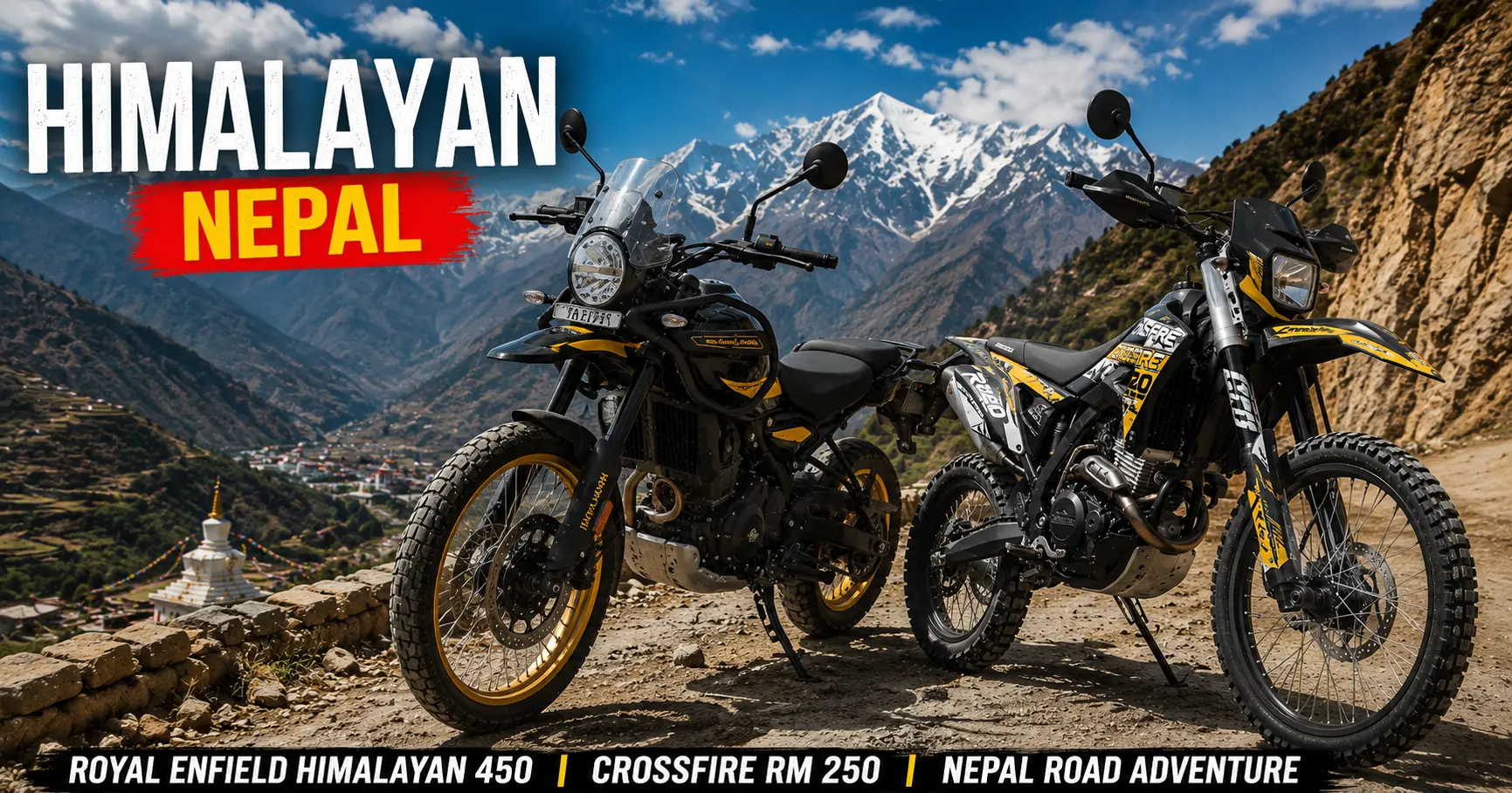
Pokhara to Mohare Danda Jeep Rental

Pokhara to Mohare Danda Jeep Rental-Luxury 4WD Jeep Hire in Nepal – Premium Land Cruiser, Prado, Fortuner and Off-Road VehicleRental with Himalayan Mountain Background

Pokhara to Mohare Danda Jeep Rental

Mohare Danda — sometimes called Mohare Hill — is one of the Annapurna region’s best-kept secrets: a 3,300-meter ridge southwest of the far more famous Poon Hill, offering an equally spectacular panorama of Annapurna, Dhaulagiri, Manaslu, and Machhapuchhre, but with a fraction of the crowds. Where Poon Hill can feel genuinely busy during peak season, with hundreds of trekkers jostling for a sunrise photo spot, Mohare Danda remains a peaceful, community-run trekking destination — its lodges are operated as a cooperative eco-tourism initiative by the local Magar and Gurung villages of the area, offering a quieter and more intimate alternative for travelers seeking the same world-class mountain views without the bustle.

Reaching Mohare Danda begins with a road journey from Pokhara to the small trailhead village of Galeshwor, via the district town of Beni — a drive of roughly 75 to 95 kilometers along the Pokhara-Baglung-Beni Highway, taking anywhere from 2.5 to 5 hours depending on road conditions and the exact final approach chosen. From Galeshwor (or the alternative jeep drop point of Falame Danda), the trek itself proceeds on foot through forest trails, traditional villages, and a steadily ascending ridge line to the Mohare Danda viewpoint and beyond, often looping back via Ghorepani, Tadapani, or Ghandruk to complete a circuit that can be tailored to anywhere from 4 to 10 days depending on your time and interest.

This complete 2026 guide covers everything from Pokhara to Mohare Danda jeep rental: the route to the trailhead, all transport options and 2026 costs, sample trek itineraries and loop options, the various return routes back to Pokhara, required permits, and why Nepal Vehicle Hiring Pvt Ltd is the right private jeep partner for this rewarding, lesser-known Annapurna trek.

Pokhara to Mohare Danda Jeep Rental-Vehicle Hire in Nepal – Luxury Car, Sedan, Scorpio, 4WD Jeep, Hiace, Coaster Bus, Tourist Bus and Premium Transportation Service

Mohare Danda — The Quiet Alternative to Poon Hill

Mohare Danda sits on a forested ridge straddling the border of Myagdi and Parbat districts, within the wider Annapurna Conservation Area, at an altitude generally cited as approximately 3,300 meters (with some sources giving the slightly more precise figure of 3,313 meters). From the viewpoint platform at its summit, an uninterrupted panorama opens across the western Annapurna and Dhaulagiri ranges — Annapurna I, Annapurna South, Dhaulagiri, Manaslu, and the distinctive fishtail summit of Machhapuchhre are all visible on a clear day, alongside sweeping views down into the Pokhara Valley itself.

What distinguishes Mohare Danda most clearly from the nearby and far more visited Poon Hill is the trekking experience itself. The trail to Mohare Danda passes through genuine working villages — Banskharka, Nangi, and others — where community-based tourism cooperatives, rather than individually competing private lodges, manage the trekker accommodation and dining. This model, developed with support from various community development and eco-tourism initiatives over the past two decades, channels tourism revenue directly and equitably into the villages along the route, while also keeping the overall scale of tourism development deliberately modest. The result is a trek that feels considerably more intimate and culturally immersive than the increasingly commercialized Poon Hill corridor, while delivering a mountain panorama that loses nothing in comparison.
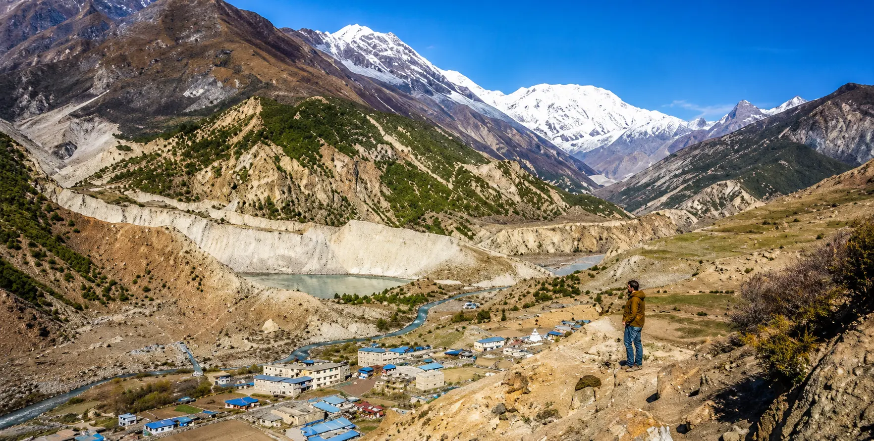
Key Facts at a Glance — Pokhara to Mohare Danda 2026

Route DetailInformation
Mohare Danda (Mohare Hill) Altitude3,300 m (also cited as 3,313 m)
LocationSouthwest of Poon Hill — Myagdi/Parbat district border, Annapurna Conservation Area
Standard TrailheadGaleshwor village (via Beni) — also reachable via Falame Danda
Distance — Pokhara to Galeshwor/Beni75–95 km
Travel Time by Private Jeep2.5 to 5 hours, depending on exact road conditions and stops
Road TypePaved Pokhara–Baglung–Beni Highway; final stretch to Galeshwor mixed paved/rough
4WD Required?Recommended beyond Beni; not strictly mandatory in dry season
Views From SummitAnnapurna I, Annapurna South, Dhaulagiri, Manaslu, Machhapuchhre, Pokhara Valley
Trek Duration4 to 10 days, depending on itinerary (standalone or combined with Khopra Danda / Poon Hill)
Trek TypeCommunity-based eco-trek — homestays and community lodges, far quieter than Poon Hill
Permits RequiredACAP (Annapurna Conservation Area Permit) + TIMS Card
Best SeasonMarch–May and September–November (winter also workable)


Pokhara to Mohare Danda Jeep Rental-Pokhara to Mohare Danda Jeep Rental-Vehicle Hire in Nepal

Low Altitude Sickness Risk: At a maximum altitude of approximately 3,300 meters, Mohare Danda carries considerably lower AMS risk than higher Annapurna region destinations, making it an excellent choice for families, older trekkers, and anyone seeking a genuinely spectacular Himalayan panorama without the acclimatization demands of higher routes.The Route — Pokhara to Galeshwor (Trailhead)

StopDistance from PokharaRoad TypeKey Notes
Pokhara LakesideStart (827 m)City roadsHotel pickup — private jeep departs from your hotel
Kusma45 kmPaved — Pokhara-Baglung HighwayParbat District headquarters — fuel, snack stop
Beni75 km (1,025 m)Paved highwayMyagdi District HQ — junction for Kali Gandaki/Jomsom road
Galeshwor80–85 km (1,130 m)Paved/rough final stretchShiva temple, trailhead — trek begins on foot from here
Fale-me Danda (alternative)70–80 kmRough local roadAlternative jeep drop point — short hike to Nangi


Pokhara to Beni — The Paved Highway Section

The journey begins on the well-maintained Pokhara-Baglung Highway, heading west through Kusma — the headquarters of Parbat District — before reaching Beni, the district headquarters of Myagdi and an important junction town where the road to Jomsom and Muktinath branches off to the north along the Kali Gandaki valley. This entire stretch, approximately 75 km from Pokhara, is smoothly paved and suitable for any vehicle type, including a standard sedan.

Beni to Galeshwor — The Final Approach

From Beni, a short additional stretch of road leads to Galeshwor — a small village known locally for its riverside Shiva temple and the standard starting point for the Mohare Danda trek. This final section includes some rougher, less consistently paved sections. While a sedan can often manage it in good dry-season conditions, a 4WD jeep offers a noticeably smoother and more reliable ride, particularly for trekking groups carrying full gear.

Falame Danda — The Alternative Trailhead

Some trekking itineraries instead use Falame Danda as the jeep drop-off point, a short drive beyond Beni on a different local road, from where a brief hike leads to the village of Nangi — itself an important stop on most Mohare Danda itineraries regardless of the exact starting point chosen. Nepal Vehicle Hiring Pvt Ltd can arrange a private jeep transfer to either Galeshwor or Falame Danda, depending on which specific itinerary your trekking plan follows.

Pokhara to Mohare Danda Jeep Rental-Vehicle Hire in Nepal – Luxury Car, Sedan, Scorpio, 4WD Jeep, Hiace, Coaster Bus, Tourist Bus and Premium Transportation Service

All Transport Options — Pokhara to Mohare Danda Trailhead 2026


Transport OptionCapacity2026 CostTravel TimeBest For
Private Jeep (Pokhara–Galeshwor)4–6 passengersNPR 7,000–12,000 / USD 53–90 (full vehicle)2.5–5 hrsTrekking groups, families, and flexible departure
Private Jeep (Pokhara–Falame Danda)4–6 passengersNPR 6,500–11,000 / USD 49–83 (full vehicle)2.5–4.5 hrsAlternative trailhead access
Private Sedan (to Beni only)1–3 passengersNPR 4,500–7,000 / USD 34–532–2.5 hrsLight luggage, then local transfer onward
Shared Jeep (Pokhara–Beni/Galeshwor)Per seatNPR 400–700 per person2.5–4 hrsBudget solo/pair trekkers
Local Bus (Baglung Bus Park)Per seatNPR 250–400 per person3–5 hrs with stopsTightest budget — slow, multiple stops


A private jeep from Nepal Vehicle Hiring Pvt Ltd is the most comfortable and flexible way to reach either Galeshwor or Falame Danda. With door-to-door pickup from your Pokhara Lakeside hotel, full luggage capacity for trekking gear, and the flexibility to depart at whatever time suits your trekking schedule, a private jeep removes all of the uncertainty associated with shared transport options.

  • 2026 cost: NPR 7,000–12,000 (USD 53–90) for the full vehicle, one way, to Galeshwor
  • Includes: Driver, fuel — all-inclusive pricing from Nepal Vehicle Hiring Pvt Ltd
  • Capacity: 4–6 passengers comfortably with trekking gear on the roof rack
  • Best for: Trekking groups, families, anyone wanting hotel pickup and flexible departure timing


Private Sedan — Suitable for Beni

For travelers continuing onward by local transport from Beni, or those whose itinerary involves a shorter trek not requiring the full distance to Galeshwor, a private sedan is a comfortable and economical option for the paved highway section to Beni.

  • 2026 cost: NPR 4,500–7,000 (USD 34–53) for the full vehicle, one way to Beni

Pokhara to Mohare Danda Jeep Rental-Vehicle Hire in Nepal -Vehicle Hire in Nepal – Luxury Car, Sedan, Scorpio, 4WD Jeep, Hiace, Coaster Bus, Tourist Bus and Premium Transportation Service

Shared Jeep and Local Bus — Budget Options

Shared jeeps and local buses run from Pokhara’s Baglung Bus Park toward Beni and, with onward local transport, to Galeshwor. These are the most economical options but involve less predictable departure times, more passenger stops, and no hotel pickup.

  • Shared jeep: NPR 400–700 per person
  • Local bus: NPR 250–400 per person
  • Best for: Solo budget trekkers with flexible schedules


Sample Mohare Danda Trek Itinerary

DayRouteAltitude/Notes
Day 1Drive Pokhara → Galeshwor → trek to Banskharka/NangiForest trail, gradual ascent
Day 2Trek Nangi → Mohare Danda (3,300 m)Cross Hampal Pass — community lodge overnight
Day 3Sunrise at Mohare viewpoint → trek toward Ghorepani/TilkotOptional: continue to Poon Hill loop
Day 4Trek down via Ghandruk/Tadapani or Tilkot/BaseriDepends on the chosen loop direction
Day 5Trek to Siwai/Hile/Nayapul → drive back to Pokhara2–3 hr jeep transfer to Pokhara hotel

This 5-day itinerary is one of the most popular formats for the Mohare Danda trek, looping back via the Ghorepani-Poon Hill area or via Tadapani and Ghandruk. Longer itineraries of 9 to 10 days are also widely offered, often combining Mohare Danda with the nearby and higher Khopra Danda viewpoint (offering even more expansive Himalayan views) before completing the same general loop back toward Ghandruk, Tadapani, or the Kali Gandaki valley.


Pokhara to Mohare Danda Jeep Rental-Luxury 4WD Jeep Hire in Nepal – Land Cruiser, Prado and Fortuner Rental Title: Luxury 4WD Jeep Hire in Nepal

Return Routes — Completing the Loop Back to Pokhara

One of the most appealing features of the Mohare Danda trek is the flexibility of its loop structure — trekkers can begin from Galeshwor and finish at several different points, each with its own onward jeep or taxi connection back to Pokhara.


Return RouteEnd Trekking PointOnward TransportApprox. Drive Time to Pokhara
Via Ghorepani–Poon Hill loopNayapul / BanthantiPrivate jeep / shared jeep45 min – 1.5 hrs
Via Tadapani–GhandrukSiwaiPrivate jeep/taxi1.5–2 hrs
Via Tilkot–Baseri (Kali Gandaki valley)BaseriJeep via Galeshwor/Beni2.5–3 hrs
Via HileHileShared/private jeep~2 hrs


Combine with Poon Hill: Many trekkers extend their Mohare Danda itinerary to include the classic Poon Hill sunrise viewpoint, looping through Ghorepani before descending to Nayapul or Banthanti — effectively combining two of the Annapurna region’s finest panoramic viewpoints into a single, moderately paced trekking circuit.

Permits Required for the Mohare Danda Trek

PermitCost 2026 (approx.)Where Obtained
ACAP (Annapurna Conservation Area Permit)NPR 3,000 / USD 22–25 per personNepal Tourism Board, Pokhara or Kathmandu
TIMS CardUSD 10–20 per personNepal Tourism Board / TAAN office
Licensed Guide (mandatory 2026)USD 20–30 per dayArranged through a registered trekking agency


Season Guide — Best Time for the Trek

SeasonMonthsRoad & Trail ConditionsRecommendation
AutumnOct–NovExcellent — dry, clearBest season — peak mountain panorama clarity
WinterDec–FebGood but cold; possible light frost near summitGood — quiet trails, very clear skies
SpringMar–MayGood — dry, rhododendron forests in bloomExcellent — second peak season, colorful forest
MonsoonJun–SepVariable — leeches, occasional landslide risk on hill roadsManageable at this altitude, but views are often clouded


Practical Tips for Pokhara to Mohare Danda Jeep Rental

  • Book your private jeep 24 to 48 hours in advance during peak season (October–November and March–May) — demand for vehicles on the Beni-Galeshwor route increases significantly during these months.
  • Confirm with your driver and trekking agency which exact trailhead — Galeshwor or Falame Danda — your specific itinerary uses, as the jeep drop-off point differs between the two.
  • Depart Pokhara by 7:00–8:00 AM to arrive at the trailhead with a full day remaining for the first trekking stage.
  • Obtain your ACAP permit and TIMS card in Pokhara before departure — the Nepal Tourism Board office in Lakeside processes both.
  • Confirm your return pickup point and arrange it at the same time as your outward booking — Nepal Vehicle Hiring Pvt Ltd can coordinate pickup from Nayapul, Siwai, Hile, or Baseri depending on your chosen loop direction.
  • Carry NPR cash for the community lodges along the trek — card payment is generally not available at these remote village accommodations.
  • A licensed guide is required under Nepal’s trekking regulations — arrange this through a registered agency alongside your transport booking.
  • Pack for cool conditions at the summit — even in spring and autumn, mornings at Mohare Danda’s 3,300 m viewpoint are cold, especially for the pre-dawn sunrise viewing.

Why Choose Nepal Vehicle Hiring Pvt Ltd

  • Trailhead Flexibility: We provide private jeep transfer to either Galeshwor or Falame Danda, matched to your specific trekking itinerary.
  • Hotel Pickup in Pokhara: Door-to-door service from your Lakeside hotel — no need to navigate to Baglung Bus Park.
  • Loop-Friendly Return Booking: We coordinate return pickup from Nayapul, Siwai, Hile, or Baseri, wherever your specific loop itinerary concludes.
  • Right Vehicle for the Terrain: Scorpio 4WD and similar vehicles are suited to the rougher final approach beyond Beni.
  • Transparent All-Inclusive Pricing: Driver and fuel are included in every quote — no hidden charges.
  • 24/7 Booking: WhatsApp or phone at +977-9851343204 — instant confirmation for your Mohare Danda trek transport.

Pokhara to Mohare Danda Jeep Rental-Luxury 4WD Jeep rental service in Nepal with Land Cruiser, Prado and Fortuner in Himalayan mountain scenery.

Frequently Asked Questions — Pokhara to Mohare Danda 2026

How far is Mohare Danda from Pokhara, and how long does the journey take?

The jeep journey from Pokhara to the Galeshwor trailhead covers approximately 75 to 95 km and takes 2.5 to 5 hours, depending on the exact road conditions and final approach. From Galeshwor, the trek to Mohare Danda itself (3,300 m) typically takes 2 to 3 days of walking.

What is the 2026 cost of a private jeep from Pokhara to the Mohare Danda trailhead?

A private jeep to Galeshwor costs approximately NPR 7,000 to NPR 12,000 (USD 53 to USD 90) for the full vehicle, one way, including driver and fuel.

How is Mohare Danda different from Poon Hill?

Both offer spectacular Annapurna and Dhaulagiri panoramas at similar altitudes (Mohare Danda at ~3,300 m versus Poon Hill at 3,210 m). Still, Mohare Danda is considerably quieter, with community-run lodges and a less commercially developed trail. At the same time, Poon Hill is Nepal’s most visited short trekking destination and can be genuinely crowded during peak season.

Is a 4WD jeep necessary for the drive from Pokhara to the Mohare Danda trailhead?

The main highway to Beni is fully paved and suitable for any vehicle. The final stretch from Beni to Galeshwor includes rougher sections where a 4WD jeep is recommended for comfort and reliability, though not always strictly mandatory in good dry-season conditions.

Can I combine Mohare Danda with Poon Hill or Khopra Danda?

Yes — many trekkers combine Mohare Danda with a loop through Ghorepani and Poon Hill, or extend to the higher Khopra Danda viewpoint, before completing the circuit via Tadapani, Ghandruk, or the Kali Gandaki valley back to a jeep pickup point.

What permits are needed for the Mohare Danda trek?

The Annapurna Conservation Area Permit (ACAP, approximately NPR 3,000 / USD 22–25) and a TIMS card (USD 10–20) are required, along with a licensed guide under Nepal’s current trekking regulations.

Conclusion

Mohare Danda offers one of the Annapurna region’s most rewarding trekking experiences for travelers seeking the same world-class mountain panoramas found at Poon Hill, but in a quieter, more community-immersive setting. The journey begins with a straightforward but scenic jeep transfer from Pokhara through Kusma and Beni to the trailhead village of Galeshwor — and from there, several days of genuinely peaceful trekking lead to one of the finest and least crowded Himalayan viewpoints in the entire Annapurna Conservation Area.

Nepal Vehicle Hiring Pvt Ltd provides reliable, comfortable private jeep hire for this trailhead transfer, with the flexibility to match your specific loop itinerary, hotel pickup in Pokhara, and coordinated return transport from wherever your trek concludes.

Book your Pokhara to Mohare Danda jeep — Call or WhatsApp: +977-9851013196

Email: [email protected]

Kathmandu to Panch Pokhari Trek Vehicle: The Sacred Five Lakes Within Reach of the Capital

Kathmandu to Panch Pokhari Trek Vehicle

Kathmandu to Panch Pokhari Trek Vehicle: The Sacred Five Lakes Within Reach of the Capital

Less than a hundred kilometres from the traffic and temple bells of central Kathmandu, in a fold of the Jugal Himal foothills that most visitors to Nepal will never hear mentioned, five — and by some local reckonings as many as seven or nine — high-altitude lakes sit cupped in a glacial basin at roughly 4,100 metres above sea level, ringed by snow peaks and treated, for as long as anyone in the surrounding villages can remember, as one of the most sacred places in the central Himalaya.

Panch Pokhari, literally ‘five lakes,’ is at once astonishingly close to Nepal’s capital and genuinely remote: a destination that can, in principle, be reached and returned from within a single demanding week from Kathmandu, and yet remains so lightly visited that trekkers who make the journey routinely report walking for entire days without encountering another traveler.

This combination — proximity and obscurity, holiness and wildness, all within a single weekend’s drive of one of Asia’s busiest tourist cities — is what makes Panch Pokhari worth understanding in some depth before simply listing bus times and jeep fares. The mountain it sits beneath, Jugal Himal, does not appear on any list of Nepal’s eight-thousanders or even its most photographed seven-thousanders, and the trek that leads to its lakes has never developed anything resembling the teahouse infrastructure of the Annapurna or Everest regions. Reaching Panch Pokhari is, in a meaningful sense, still an act of genuine travel rather than simply route-following — and the vehicle journey that begins that travel from Kathmandu deserves to be understood as more than a logistical footnote.

This guide sets out, in greater narrative depth than our standard route guides, both the practical mechanics of getting to Panch Pokhari by vehicle from Kathmandu and the deeper context — religious, ecological, and historical — that makes the destination worth the considerable effort involved. Nepal Vehicle Hiring Pvt Ltd provides private vehicle transport for the road sections of this journey, and what follows draws on that operational experience alongside a wider reading of the route’s history and significance.

A Sacred Lake Cluster the Modern World Almost Forgot

Panch Pokhari occupies a curious position in Nepal’s geography of sacred places. Unlike Muktinath or Pashupatinath, whose fame and pilgrimage infrastructure have been documented in religious texts and built up over centuries of continuous royal and institutional patronage, Panch Pokhari’s standing as a holy site appears to rest almost entirely on continuous oral tradition and the lived devotional practice of the Tamang, Sherpa, and Hindu hill communities of Sindhupalchok, Nuwakot, and Rasuwa districts, who have for generations made the demanding multi-day journey to bathe in and worship at the lakes, particularly during the festival of Janai Purnima in the Nepali month of Shrawan, when thousands of pilgrims — far outnumbering any trekking tourist traffic the route receives in an entire year — converge on the lake basin to change their sacred thread, bathe in the glacial water, and pay respect to the resident deity believed to inhabit the largest of the lakes.

This devotional intensity sits in striking contrast to how little Panch Pokhari has registered in the wider, internationally oriented apparatus of Nepali tourism. There is no Lonely Planet chapter devoted to it in the way there is for Everest Base Camp or the Annapurna Circuit, no government department actively marketing it abroad, and — strikingly, for a site of this religious importance — only the most minimal teahouse infrastructure along most approach routes, meaning that the majority of organised trekking itineraries to Panch Pokhari are still run, as they would have been decades ago, as full camping expeditions with cooking crews, tents, and porters rather than the lodge-to-lodge model that now defines trekking in Nepal’s more developed regions. One small but telling marker of the site’s underlying national significance: Nepal’s postal service selected Panch Pokhari for a commemorative postage stamp in 2011, a modest but genuine official acknowledgment of the lake’s status as a place of cultural value, issued at a time when the route remained almost entirely unknown to the international trekking market that has since begun, slowly, to discover it.

Geographically, the lakes sit at the meeting point of three administrative districts — Sindhupalchok, where the main approach routes and the rural municipality bearing the lake’s own name (Panch Pokhari Thangpal) are located, along with Nuwakot and Rasuwa, whose boundaries converge nearby — and fall within the territory of Langtang National Park, Nepal’s fourth protected area, established in 1976 primarily to safeguard the Langtang valley itself but extending its boundaries eastward to encompass this less-visited corner of the central Himalaya as well. The lake basin sits directly beneath the southern flank of the Jugal Himal range, whose principal summits — Dorje Lakpa at 6,966 metres, Phurbi Chyachu at 6,637 metres, and Madiya at 6,257 metres — form the visual centrepiece of the trek’s mountain panorama, with the more distant and more famous profiles of the Langtang Range and Ganesh Himal visible on the clearest days from the higher viewpoints along the route.

Two Gateways, Two Very Different Journeys

Reaching Panch Pokhari from Kathmandu has historically meant choosing between two distinct overland gateways, each with its own character, driving distance, and implications for how many days of subsequent walking are required to reach the lakes themselves.

The traditional, longer-established gateway runs through Chautara, the district headquarters of Sindhupalchok, which is reached from Kathmandu via the Araniko Highway. The same historic road continues onward, as covered in our dedicated Kodari border guide, all the way to the Nepal-China frontier. The Kathmandu to Chautara drive covers a road distance most commonly cited at somewhere between 72 and 100 kilometres, depending on the exact starting point in Kathmandu and the precise routing taken, and generally takes 5 to 6 hours by road — a journey that, on paper, sounds almost casually short by the standards of Nepal’s longer trekking transfers,

but which in practice can feel considerably longer given the winding, climbing character of the road as it leaves the Kathmandu Valley and ascends into the Sindhupalchok hills. From Chautara, the classic multi-day walking route proceeds through a sequence of small settlements and high pastures with names that rarely appear on any map smaller than a dedicated trekking chart — Phurse, Sano Okhareni, Thulo Okhareni, Kami Kharka, Pauwa Bas, Hile Bhanjyang, and finally Nasimpati — before the final ascent to the lake basin itself. This sequence typically requires four to six days of walking in one direction alone, depending on pace and acclimatization needs.

The newer and increasingly popular alternative gateway approaches from the west, via Melamchi Bazaar and the village of Bhotang, reached either via the Araniko Highway through Dhulikhel and a turn north at what local drivers refer to as Zero Kilo, or via the slightly different and reportedly somewhat smoother Sankhu-Melamchi road that bypasses some of the more winding sections of the Chautara approach. From Melamchi, a further stretch of local transport — frequently described by those who have made the journey as an ‘off-road express’ rattling along a track that follows the Indrawati River — leads to Bhotang village, a journey that can itself consume six to seven hours depending on the condition of this final unpaved stretch.

The genuine advantage of the Melamchi-Bhotang approach is what follows it: from Bhotang, the walking distance to Panch Pokhari is considerably shorter than from Chautara, with some operators now advertising itineraries that reach the lakes in as little as two to three days of trekking from this starting point, a substantial reduction that has made the Melamchi gateway an increasingly common choice among both Nepali domestic trekkers and the small but growing number of international visitors discovering the route.

There is, in addition, a third and more recently documented possibility for those determined to minimise walking time even further: at least one detailed independent account of the trek notes that a four-wheel-drive vehicle, with sufficiently careful and experienced driving on what is frankly described as poor road surface, can in current conditions continue beyond the standard road-head all the way to a place called Dukhang Kharka, just beyond the village of Deurali, on the approach toward Chhimti — effectively pushing the drivable road considerably further into the hills than either of the two more established gateways would suggest, though this should be treated as an emerging and somewhat informal option rather than a fully established route, and one that depends heavily on current road maintenance and the specific vehicle and driver involved.

Kathmandu to Panch Pokhari Trek Vehicle

The Drive Through Sindhupalchok — What the Road Actually Shows You

Whichever gateway is chosen, the drive out of the Kathmandu Valley toward Sindhupalchok district shares a common early character with several of the other eastern and northeastern routes described elsewhere in our blog series — the climb out through Bhaktapur and Banepa, the hilltop pause at Dhulikhel with its often spectacular view back across the terraced valley toward the distant Himalayan skyline on a clear morning, and the gradual transition from the dense urban fabric of the capital into the genuinely rural, terraced, and increasingly forested hill country that characterises most of Sindhupalchok district.

What distinguishes the approach to Chautara and the wider Panch Pokhari gateway region from the more heavily trafficked Araniko Highway corridor toward Kodari is the relative quietness of the road beyond the main highway turn-off. The increasingly visible presence of Tamang cultural markers — distinctive monastery architecture, prayer flags strung across mountain passes, and

the particular rhythm of agricultural life in villages where Tibetan Buddhist practice sits alongside, and in many households is genuinely intertwined with, the Hindu devotional traditions that also draw pilgrims to the lakes themselves. Sindhupalchok is, more than almost any other district within a half-day’s drive of Kathmandu, a place where this Tamang cultural presence remains genuinely dominant rather than diluted by the kind of rapid urbanization that has reshaped much of the immediate periphery of the Kathmandu Valley over the past three decades.

The district’s more recent history carries its own weight as well. Sindhupalchok was among the districts most severely affected by the catastrophic earthquake of April 2015. The visible evidence of reconstruction — newer concrete buildings standing beside the occasional still-damaged older structure, communities that have rebuilt with deliberate attention to earthquake-resistant design — forms an unavoidable part of the landscape a traveler passes through en route to Chautara or Melamchi today. This is not incidental background; the resilience and continuity of the pilgrimage tradition to Panch Pokhari through and beyond this period of disruption is itself a quiet testament to how deeply rooted the site’s religious significance remains in the communities of this region.

A Trek That Has Resisted the Teahouse Economy

Perhaps the single most distinctive feature of the Panch Pokhari trek, when set against the wider pattern of trekking tourism development that has transformed routes like Poon Hill, Annapurna Base Camp, and even much of the Everest region over the past three decades, is how little teahouse infrastructure has developed along its main approach corridors. Multiple independent and operator accounts of the trek explicitly describe it as a camping or semi-camping experience: a journey for which most organisers still bring tents, a cooking crew, and porters carrying kitchen equipment, precisely because the string of villages between Chautara or Bhotang and the lake basin itself does not yet offer the kind of dependable, bed-for-every-trekker lodge network that has become standard on Nepal’s more internationally developed trails.

This absence of infrastructure cuts in two directions, and both deserve honest acknowledgment. On one hand, it means Panch Pokhari remains logistically more demanding and more expensive per day than an equivalent teahouse-based trek of similar duration elsewhere in Nepal — camping treks require more staff, more equipment, and more planning, and the absence of guaranteed accommodation at each overnight stop means a degree of flexibility and self-sufficiency that a first-time Himalayan trekker, of the kind discussed in our dedicated guide for first-time visitors, may find more challenging than the relatively well-trodden Annapurna or Langtang routes.

On the other hand, it is precisely this absence of infrastructure that preserves what makes the destination genuinely special: an experience of walking for days through forest, high pasture, and finally stark alpine terrain with minimal evidence of the commercial trekking economy that has, in some of Nepal’s more famous destinations, begun to shape the character of the trail itself noticeably.

Some recent accounts of the route do note the gradual emergence of basic homestay and simple lodge accommodation in larger waypoint villages such as Bhotang, suggesting that the infrastructure picture is slowly, unevenly evolving — a pattern entirely consistent with how trekking development has historically proceeded elsewhere in Nepal, beginning with the larger gateway settlements and only gradually extending further along the trail as visitor numbers justify the investment. Travelers planning a Panch Pokhari trek in the near future should expect. They should indeed welcome a journey that still requires more self-sufficiency and more careful advance planning through a properly equipped trekking agency than the country’s headline routes — this is, in significant part, exactly what continues to make the destination worth visiting.

The Mountains That Watch Over the Lakes

The mountain panorama visible from the higher sections of the Panch Pokhari trek, and from the lake basin itself, centers on the Jugal Himal range — a comparatively little-known massif by the standards of Nepal’s most famous peaks, but one that rewards close attention precisely because of how rarely it features in the broader popular imagination of Himalayan mountaineering. Dorje Lakpa, at 6,966 meters the range’s highest summit, takes its name from a protective deity in Tibetan Buddhist cosmology and presents a dramatically fluted, ice-draped face to trekkers approaching from the south — a peak that, despite its considerable height, remains far less frequently climbed or even photographed than mountains of comparable altitude in the more heavily trafficked Khumbu or Annapurna regions.

Phurbi Chyachu, at 6,637 meters, and Madiya, at 6,257 meters, complete the immediate Jugal Himal skyline visible from the Panch Pokhari area, their names and relatively modest mountaineering history reflecting the same broader pattern of obscurity that characterizes the entire massif. On the clearest days, and from the highest viewpoints along the trekking route — particularly the ridge above Nasimpati on the traditional Chautara approach, or the viewpoint immediately above the lakes themselves — this immediate panorama extends to encompass the more distant and considerably more famous profiles of the Langtang Range to the northwest,

its highest summit Langtang Lirung reaching 7,234 metres, and Ganesh Himal further west again, at 7,422 metres one of the most visually striking peaks in the central Himalaya despite its own relative obscurity outside specialist mountaineering circles. On exceptional days, trekkers and pilgrims at Panch Pokhari report glimpsing the more distant Rolwaling Range to the east as well, completing a panorama that, in clear conditions, offers an essentially uninterrupted sweep of central Himalayan summits from a vantage point that very few foreign visitors to Nepal will ever stand upon.

The lakes themselves sit within a glacially carved basin whose physical setting — bare rock, scattered alpine tarns, and the characteristic stark beauty of terrain immediately below the permanent snowline — is itself part of the destination’s appeal, distinct in character from the more vegetated high-altitude landscapes of, for example, the Annapurna Sanctuary or the Khumbu valley floor near Everest Base Camp. Local tradition holds that the largest of the lakes never fully freezes even in the depths of winter, a detail frequently repeated by pilgrims and trekking guides alike as evidence of the site’s sacred and somewhat mysterious character, regardless of its precise hydrological explanation.

Kathmandu to Panch Pokhari Trek Vehicle

A Living Pilgrimage, Not a Historical Curiosity

It would be a mistake to approach Panch Pokhari purely through the lens of trekking tourism, however genuine and growing that interest now is. The site’s primary identity, for the communities of Sindhupalchok, Nuwakot, and Rasuwa who have sustained the pilgrimage tradition for generations, remains devotional rather than recreational. The Janai Purnima festival, falling on the full moon of the Nepali month of Shrawan (typically July or August), draws the largest annual concentration of visitors to the lake basin — substantially larger, by most accounts, than the total number of international trekkers who visit across the entire rest of the year combined.

Pilgrims undertake the same demanding multi-day approach described in this guide, often on foot for the entire journey from much further afield than Kathmandu, specifically to bathe in the lakes’ frigid water, to change the sacred janai thread worn by many Hindu men and some women as a marker of ritual purity, and to pay homage to the deity understood to reside within the largest lake.

In practical terms, this devotional dimension shapes several aspects of planning and approaching a visit to Panch Pokhari. Travelers visiting outside the Janai Purnima period will encounter a far quieter, more contemplative site — appropriate for trekkers and photographers seeking solitude — while those who specifically wish to witness or participate in the pilgrimage tradition should plan their visit deliberately around the festival date, with the understanding that accommodation and porter availability will be under considerably greater pressure during this peak devotional period than at any other time of year.

Visitors of any background are generally welcomed at the lakes with the same open hospitality that characterizes Hindu and Buddhist pilgrimage sites throughout Nepal. Still, the same baseline etiquette that applies at any of the country’s sacred sites — modest dress, respectful behavior around any pilgrims engaged in worship or ritual bathing, and a general sensitivity to the site’s primary religious function — applies with particular relevance here, given how much more central that devotional function remains at Panch Pokhari than at many of Nepal’s more internationally tourism-oriented sacred destinations.

Practical Reference — Key Facts, Routes, and Permits


Key FactDetail
Panch Pokhari Altitude4,100 m (the main lake cluster; outlying lakes and ridge points reach higher)
LocationSindhupalchok District (Panch Pokhari Thangpal Rural Municipality), bordering Nuwakot and Rasuwa, within Langtang National Park
Meaning‘Panch Pokhari’ translates literally as ‘Five Ponds/Lakes’ in Nepali
Religious SignificanceSacred to both Hindus and Buddhists; major pilgrimage gathering during Janai Purnima
Mountains VisibleDorje Lakpa (6,966 m), Phurbi Chyachu (6,637 m), Madiya (6,257 m), and the wider Jugal Himal, Langtang, and Rolwaling ranges
Gateway TownsChautara (traditional, Sindhupalchok HQ) or Melamchi Bazaar / Bhotang (newer, faster approach)
Drive Distance from KathmanduApproximately 72–100 km, depending on the gateway chosen
National RecognitionNepal’s postal service issued a commemorative stamp featuring Panch Pokhari in 2011
Trek CharacterLargely a camping/basic-lodge trek — limited teahouse infrastructure compared to Nepal’s major trekking corridors


Route OptionDrive DistanceDrive TimeTrek Days to LakesCharacter
Via Chautara (traditional)72–100 km5–6 hours4–6 days one wayLonger but more established; passes through Phurse, Kami Kharka, Pauwa Bas, Hile Bhanjyang, Nasimpati
Via Melamchi / Bhotang (newer)60–80 km to Melamchi/Bhotang area3–4 hours to Melamchi, then 6–7 hrs further local transport/jeep to Bhotang2–3 days one wayFaster overall, increasingly the preferred gateway


Private vehicle costs for this route are worth noting precisely because they differ from the more standardized pricing of Nepal’s major trekking corridors. One detailed first-hand account of the trek records a reserved eight-seat Bolero jeep, booked for the Kathmandu-to-Chhimti leg of a Melamchi-gateway itinerary, at a one-way fare of NPR 12,000 for the full vehicle — a figure consistent with the kind of private 4WD pricing seen on other moderately remote hill routes covered elsewhere in this blog series, and a useful benchmark for travelers budgeting their own Panch Pokhari journey. Nepal Vehicle Hiring Pvt Ltd provides comparable private vehicle hire — sedan for the paved sections as far as conditions allow, and 4WD Scorpio or Hilux for the rougher final approaches toward Chautara, Melamchi, Bhotang, or, where current road conditions and driver experience permit, the more advanced drop-off points toward Deurali and Chhimti.

Kathmandu to Panch Pokhari Trek Vehicle-4WD Jeep rental in Nepal for off-road tours and mountain trekking

Permits and Practical Requirements


Permit / RequirementApprox. Cost (2026)Notes
Langtang National Park Entry PermitNPR 3,000 (USD 22) for foreign nationalsPanch Pokhari falls within the Langtang National Park boundaries
TIMS CardUSD 10–20 per personRecommended for all organized trekking groups
Licensed GuideUSD 20–30 per dayMandatory under Nepal’s current trekking guide regulation; essential given limited infrastructure and lack of marked trail signage
Camping Equipment / CrewVaries by operatorMost itineraries are organized as camping treks given the sparse teahouse coverage.


Because Panch Pokhari sits within Langtang National Park, the standard national park entry permit applies. Trekkers should arrange it in Kathmandu before departure rather than assuming it can be processed informally en route, given the limited administrative infrastructure along much of the trail. The combination of high altitude, sparse trail signage, limited rescue infrastructure, and the camping-based logistics most itineraries require makes the now-mandatory licensed guide requirement considerably more than a bureaucratic formality on this particular route — local knowledge of the trail, the weather, and the specific demands of the various overnight stops is genuinely important here in a way that it may not be on Nepal’s better-signed and more heavily trafficked major trekking corridors.

4WD Jeep rental in Nepal for off-road tours and mountain trekking-Kathmandu to Panch Pokhari Trek Vehicle

Season, Altitude, and Honest Expectations

The two recommended trekking windows for Panch Pokhari follow the same broad seasonal logic that governs trekking across most of Nepal: spring, roughly March through May, when rhododendron forests along the lower sections of the trail come into vivid bloom and temperatures at altitude become more tolerable without yet bringing the full intensity of pre-monsoon haze; and autumn, roughly September through November or into early December by some operators’ reckoning, when post-monsoon air clarity delivers the sharpest possible views of the Jugal Himal, Langtang, and Ganesh Himal panorama from the lake basin and surrounding ridges.

At a maximum altitude of approximately 4,100 meters — with some accounts suggesting nearby ridge viewpoints and outlying lake features reach somewhat higher still — Panch Pokhari sits comfortably within the altitude range where Acute Mountain Sickness becomes a genuine consideration, though one considerably less severe than the demands of Everest Base Camp or Annapurna Circuit’s high passes.

The same fundamental altitude principles outlined in our dedicated Muktinath altitude health guide apply here: gradual ascent, adequate hydration, attentiveness to early symptoms, and a willingness to adjust pace or itinerary if needed. Given the camping-based structure of most itineraries and the corresponding flexibility this affords compared to teahouse-dependent routes elsewhere, trekkers and their guides generally have somewhat more latitude to adjust daily distances in response to the group’s acclimatization — one of the few genuine logistical advantages that the route’s lack of fixed accommodation infrastructure provides.

Monsoon season, June through August, is generally avoided for the trek itself given the obvious challenges of camping-based travel through forest and high pasture terrain during heavy rainfall — though it is worth noting that this is precisely the period encompassing Janai Purnima, meaning that the pilgrims who form the majority of annual visitors to the lakes frequently do make this exact journey during the wettest part of the year, a testament to how much more central the devotional motivation is than fair-weather convenience for the communities who sustain this tradition.

Why So Few Travelers Know This Place — And Why That Is Changing

It is worth briefly asking why a sacred lake cluster this close to Kathmandu, beneath mountains this dramatic, has remained so far outside the mainstream of Nepal’s trekking tourism for so long — and what that obscurity has meant for the destination’s character. Part of the explanation is simply infrastructural: the absence of an established teahouse network, the relative remoteness of even the closer Melamchi gateway compared to routes accessible by a single short flight or a smooth paved highway, and the lack of an iconic single peak or a globally recognized name (Everest, Annapurna, even Langtang) to anchor international marketing efforts.

Part of the explanation is also, more simply, that the route’s primary historical function has been devotional rather than touristic — a pilgrimage maintained by and for the communities of the surrounding districts, rather than a destination developed with an external visitor market specifically in mind.

This is visibly beginning to change. The emergence of the faster Melamchi-Bhotang gateway, the gradual appearance of basic homestay accommodation in larger waypoint villages, and a steadily growing number of detailed trip reports and trekking agency itineraries explicitly marketing Panch Pokhari as an accessible short adventure from Kathmandu all point toward a destination on the early edge of broader discovery — in a position not unlike where routes such as Mardi Himal or Mohare Danda sat a decade or more ago, before they developed into the increasingly well-established alternative trekking options they represent today. For travelers drawn to the idea of reaching a place this close to Kathmandu that still genuinely feels, for now, like a frontier rather than a circuit, the window for experiencing Panch Pokhari in something close to its current, lightly visited state may not remain open indefinitely.

The Descent and the Loop — Completing the Journey Differently Than You Began It

One of the more thoughtful features of several established Panch Pokhari itineraries is that they do not simply retrace the outward route on the way back to Kathmandu, but instead descend via an entirely different valley system, transforming the trek from a straightforward there-and-back walk into a genuine loop that exposes travelers to a second, distinct slice of Sindhupalchok’s hill geography. From the lake basin, this descent typically proceeds via Tupi Danda — also recorded in some accounts as Brongdogyang — a ridge settlement offering a final, lingering view back toward Dorje Lakpa and the Jugal Himal skyline before the trail drops in earnest toward the valley floor.

From Tupi Danda, the trail continues down through Dhap, a settlement sitting at a considerably lower altitude than anywhere visited on the ascent, before reaching Melamchi Bazaar, where the trekking portion of the journey ends and onward transport — whether a waiting private jeep arranged in advance, or a local bus connection back toward the Araniko Highway corridor — resumes the road journey to Kathmandu.

This particular descent sequence, often summarised by operators as ‘Panch Pokhari to Tupi Danda to Dhap to Melamchi,’ typically requires a further two to three days of walking beyond the lakes themselves, meaning that a complete loop itinerary — Kathmandu to Chautara, the multi-day ascent to the lakes, and this alternative descent back to Melamchi — can occupy anywhere from eight to fifteen days door to door, depending on pacing, rest days, and the specific combination of gateway and exit route chosen.

The practical advantage of this loop structure, beyond the simple variety it offers, is that it allows trekking groups to arrange their outward and return vehicle transport from two entirely different points — meaning a private jeep booked for the initial Kathmandu-to-Chautara leg need not retrace its steps to collect the same group at the end of the trek, but can instead be arranged to meet the party at Melamchi Bazaar instead, considerably simplifying the logistics for any operator or independent group managing their own transport.

Nepal Vehicle Hiring Pvt Ltd routinely coordinates exactly this kind of asymmetric pickup-and-drop-off arrangement for multi-day trekking itineraries elsewhere in our route guides, and the same flexible approach applies readily to a Panch Pokhari loop itinerary.

4WD Jeep rental in Nepal for off-road tours and mountain trekking-Kathmandu to Panch Pokhari Trek Vehicle

The Forests and Wildlife of the Eastern Langtang Frontier

Although the bulk of attention paid to Langtang National Park’s ecology understandably centres on the more frequently visited Langtang valley itself — the park’s namesake and the location of its most developed trekking infrastructure — the eastern reaches of the park encompassing the Panch Pokhari approach corridors share much of the same underlying ecological character, shaped by the same dramatic altitudinal range and monsoon-influenced climate that defines this section of the central Himalaya.

The lower elevations of the trek, particularly the forested sections between Chautara and the higher pastures around Kami Kharka and Pauwa Bas, pass through dense temperate forest dominated by oak and, at the right time of year, spectacular stands of rhododendron — Nepal’s national flower, discussed in greater detail in our dedicated Annapurna Conservation Area feature, but no less vivid a presence on these eastern slopes than on the more famous Ghorepani ridge further west.

As the trail climbs beyond the forest line toward Hile Bhanjyang and Nasimpati, the vegetation transitions through increasingly hardy alpine scrub and seasonal high pasture, used historically and to this day by local herding families for grazing cattle, sheep, and goats during the warmer months — a traditional pastoral economy that long predates any trekking tourism interest in the region and that continues to shape the rhythm of village life along the route, with many of the simple shelters and kharka (pasture huts) that trekkers pass and occasionally overnight in having been built originally, and still primarily used, for this herding purpose rather than for tourist accommodation.

Langtang National Park’s broader faunal inventory, including red panda, Himalayan tahr, and a range of high-altitude pheasant species, extends into this eastern sector of the park as well. However, the relative lack of dedicated wildlife research focused specifically on the Panch Pokhari corridor, compared to the more intensively studied Langtang valley proper, means that detailed local population data for this area remain considerably less well documented in the conservation literature than for the park’s more famous western section.

This relative ecological obscurity is, in its own way, simply one more expression of the broader pattern that defines Panch Pokhari throughout this guide: a place of genuine natural and cultural significance that has, for reasons of geography, infrastructure, and historical attention, remained on the quieter margin of Nepal’s more thoroughly documented and more heavily visited protected landscapes — a margin that, for the traveler willing to make the journey, is precisely where some of the country’s most rewarding and least crowded experiences continue to be found.

Panch Pokhari Among Kathmandu’s Other Near Escapes

To understand fully what Panch Pokhari offers, it helps to place it briefly alongside the handful of other trekking destinations that share its basic positioning — close enough to Kathmandu to reach within a day or two of road and trail travel, yet substantial enough in altitude and mountain scenery to constitute a genuine Himalayan experience rather than a simple hill walk. The Helambu region, reached via a broadly similar northeastern approach through Sundarijal or the Melamchi corridor, offers a gentler, more thoroughly teahouse-developed alternative populated largely by Hyolmo and Sherpa communities, with views that, while pleasant, rarely match the dramatic close-range mountain wall that Panch Pokhari delivers.

Gosaikunda, the sacred alpine lake reached via Syabrubesi and the Langtang approach corridor covered in our dedicated Kathmandu-to-Syabrubesi transport guide, shares Panch Pokhari’s combination of religious significance and high-altitude lake scenery, and indeed draws a broadly comparable pilgrim tradition during Janai Purnima, but benefits from the considerably more developed teahouse infrastructure of the main Langtang trekking corridor, making it logistically simpler though arguably less untouched in character.


Within this comparative landscape, Panch Pokhari occupies a distinct niche: it is, by most informed accounts, the least developed and least visited of the three, the most demanding in terms of required self-sufficiency and camping logistics, and — for travelers who specifically value that lack of development — correspondingly the most rewarding in terms of the genuine sense of discovery and solitude it still offers.

A trekker choosing between these three broadly similar near-Kathmandu options is, in effect, choosing a point along a spectrum running from maximum comfort and infrastructure (Helambu), through a well-established middle ground combining real high-altitude drama with reasonable logistical support (Gosaikunda and the wider Langtang valley), to the genuinely wilder and more demanding experience that Panch Pokhari continues to represent even as its own infrastructure slowly, unevenly develops.
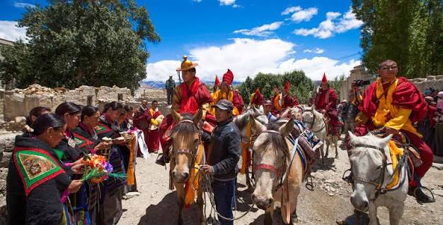
This positioning matters both practically and descriptively, as it should directly inform how a prospective visitor plans their trip. Travelers whose primary interest is maximum mountain scenery with minimal logistical complexity are generally better served by Gosaikunda or the broader Langtang Valley itinerary.

Travelers specifically seeking the particular combination that only Panch Pokhari currently offers — comparable sacred-lake and high-mountain drama, but delivered through a journey that still demands real self-sufficiency, still passes through villages where the trekking economy has only lightly taken root, and still rewards the kind of travelers willing to embrace a camping-based itinerary organised through a properly experienced agency — will find that Panch Pokhari has, for now, no close substitute within comparable distance of Kathmandu.

Getting There — A Practical Note from Nepal Vehicle Hiring Pvt Ltd

For the vehicle portion of a Panch Pokhari journey specifically, Nepal Vehicle Hiring Pvt Ltd provides private hire along both principal gateway corridors — the Araniko Highway approach toward Chautara, and the Sankhu or Dhulikhel-via-Zero-Kilo approach toward Melamchi Bazaar and onward local connection to Bhotang. Given the rougher and less consistently maintained road conditions beyond the main highway sections on both routes, a 4WD vehicleScorpio or Hilux from our fleet — is generally the right choice rather than a standard sedan, particularly for the final approach into Chautara, Melamchi, or Bhotang itself, and especially for any itinerary attempting to push the drivable road further toward Deurali or Chhimti.

Because most Panch Pokhari itineraries are organised through specialist trekking agencies running camping-based expeditions with dedicated crew and equipment, Nepal Vehicle Hiring Pvt Ltd typically coordinates directly with these agencies or their clients to provide the specific road transport legs required — the outward journey from Kathmandu to whichever gateway and drop-off point the chosen itinerary uses, and the return journey from wherever the trek itinerary concludes, whether that is back through the original gateway or via the alternative descent routes (such as Tupi Danda, Dhap, and Melamchi) that several established itineraries use to create a complete loop rather than retracing the same path in both directions.
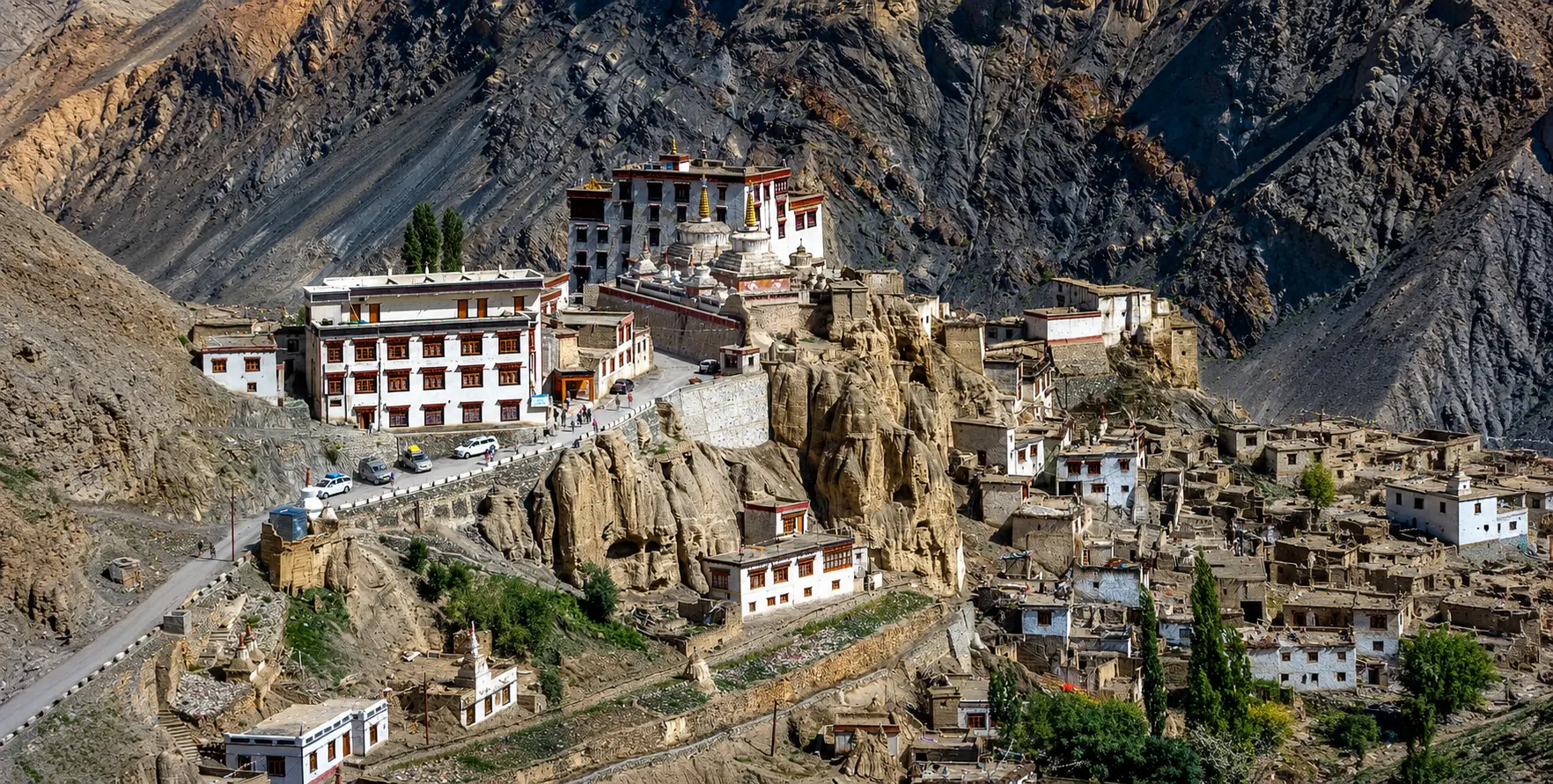
Frequently Asked Questions

How far is Panch Pokhari from Kathmandu, and how long does the journey take?

The drive to the nearest gateway town — either Chautara or Melamchi Bazaar — covers roughly 72- 100 km and takes approximately 5- 6 hours by road. From there, reaching the lakes themselves requires an additional 2 to 6 days of trekking, depending on the chosen gateway and itinerary, with the Melamchi-Bhotang approach generally offering the shorter walking distance.

Is Panch Pokhari a teahouse trek or a camping trek?

Predominantly a camping trek. Most of the route between the gateway towns and the lake basin lacks the established teahouse infrastructure found on Nepal’s major trekking corridors. However, basic homestay accommodation is gradually emerging in some larger waypoint villages such as Bhotang. Most organized itineraries still bring tents, a cooking crew, and porters.

What makes Panch Pokhari religiously significant?

Panch Pokhari is a sacred site for both Hindus and Buddhists, and is the focus of a major annual pilgrimage during the Janai Purnima festival in the Nepali month of Shrawan (July–August), when thousands of pilgrims travel to bathe in the lakes and change the sacred janai thread. The site’s cultural significance was formally recognized when Nepal’s postal service issued a commemorative stamp featuring Panch Pokhari in 2011.

What mountains can be seen from Panch Pokhari?

The immediate panorama is dominated by the Jugal Himal range, including Dorje Lakpa (6,966 m), Phurbi Chyachu (6,637 m), and Madiya (6,257 m). On clear days, the more distant Langtang Range (including Langtang Lirung at 7,234 m), Ganesh Himal (7,422 m), and the Rolwaling Range are also visible.

What permits are required for the Panch Pokhari trek?

A Langtang National Park entry permit (approximately NPR 3,000 / USD 22 for foreign nationals) is required, along with a TIMS card and a licensed guide, the latter mandatory under Nepal’s current trekking regulations and particularly important given the route’s limited infrastructure and trail signage.

When is the best time to visit Panch Pokhari?

Spring (March to May) and autumn (September to November/December) offer the best trekking conditions, with clear mountain views and manageable trail conditions. The Janai Purnima festival period in July/August draws the largest pilgrim crowds but coincides with monsoon rains, which most trekking-focused visitors prefer to avoid.

Conclusion

Panch Pokhari occupies a rare position in Nepal’s crowded landscape of trekking destinations: a place close enough to Kathmandu to reach within a single demanding week, sacred enough to draw thousands of devoted pilgrims every year regardless of tourism infrastructure, and remote enough, even now, to offer the kind of genuine trail solitude that has become increasingly difficult to find on the country’s better-known routes.

The mountains that watch over its five — or seven, or nine, depending on whom you ask — glacial lakes may never carry the global name recognition of Everest or Annapurna. Still, the journey to stand beside them, beginning with the long climbing drive out through Sindhupalchok’s Tamang villages and ending at a basin of still water reflecting the ice walls of Dorje Lakpa, offers something increasingly rare: a Himalayan experience that still feels, in every sense, like a discovery rather than a checklist.

For those weighing whether this particular journey is the right one for their own Nepal itinerary, the honest answer offered throughout this guide is that Panch Pokhari rewards a specific kind of traveler — one with sufficient time to accommodate a longer and less predictable schedule than Nepal’s headline routes, sufficient comfort with camping-based logistics rather than guaranteed lodge beds, and a genuine interest in the layered religious, cultural, and ecological texture of a destination that has not yet been substantially reshaped by the demands of mass trekking tourism. For that traveler, few experiences within a week’s reach of Kathmandu offer as much.
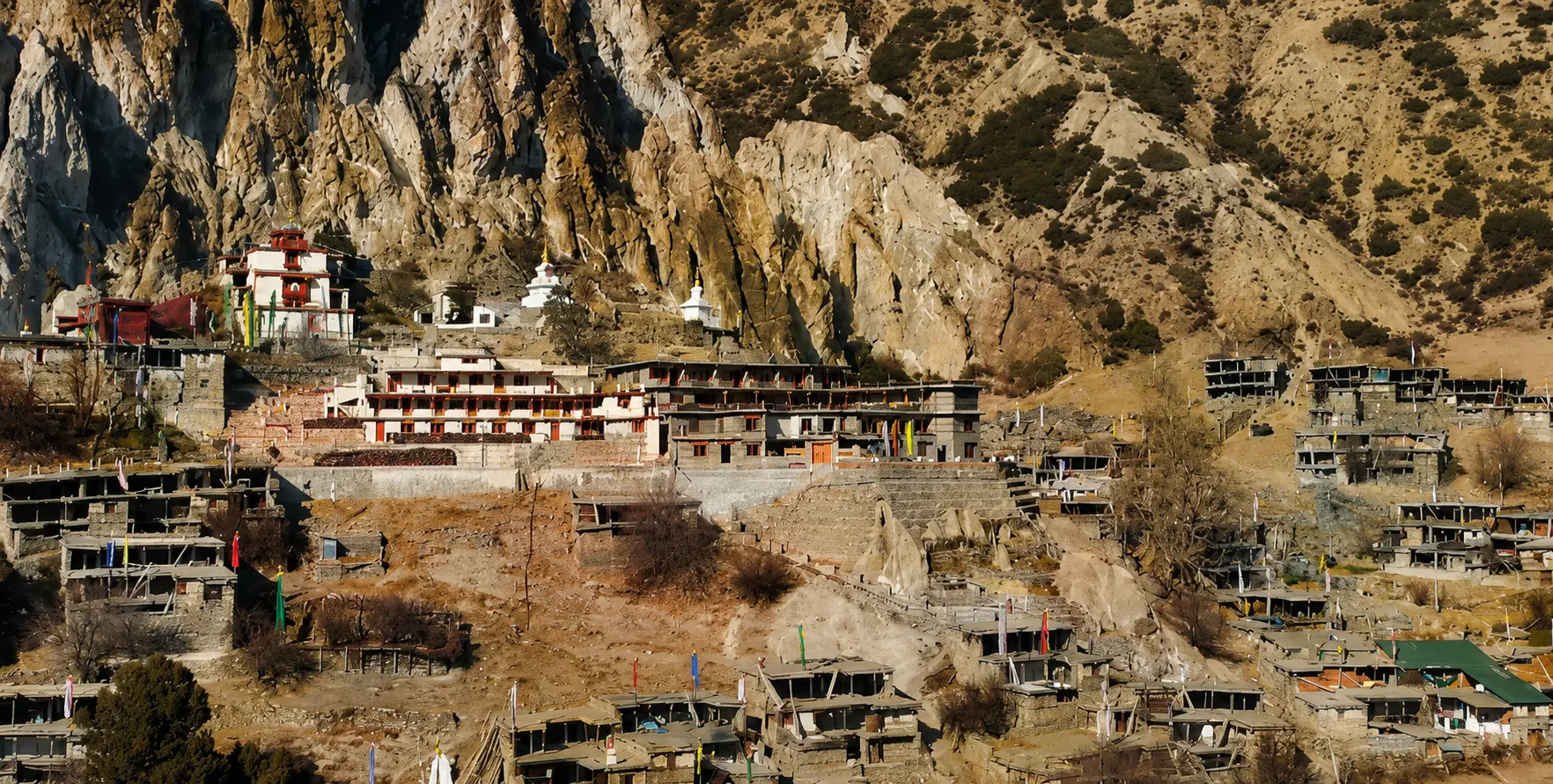
Nepal Vehicle Hiring Pvt Ltd is glad to provide the private vehicle transport that begins this journey from Kathmandu, along whichever gateway corridor — Chautara or Melamchi — best suits your chosen itinerary, and we hope this guide has offered not just the practical route information you need, but a genuine sense of why this lightly visited corner of the central Himalaya is worth the effort of reaching.
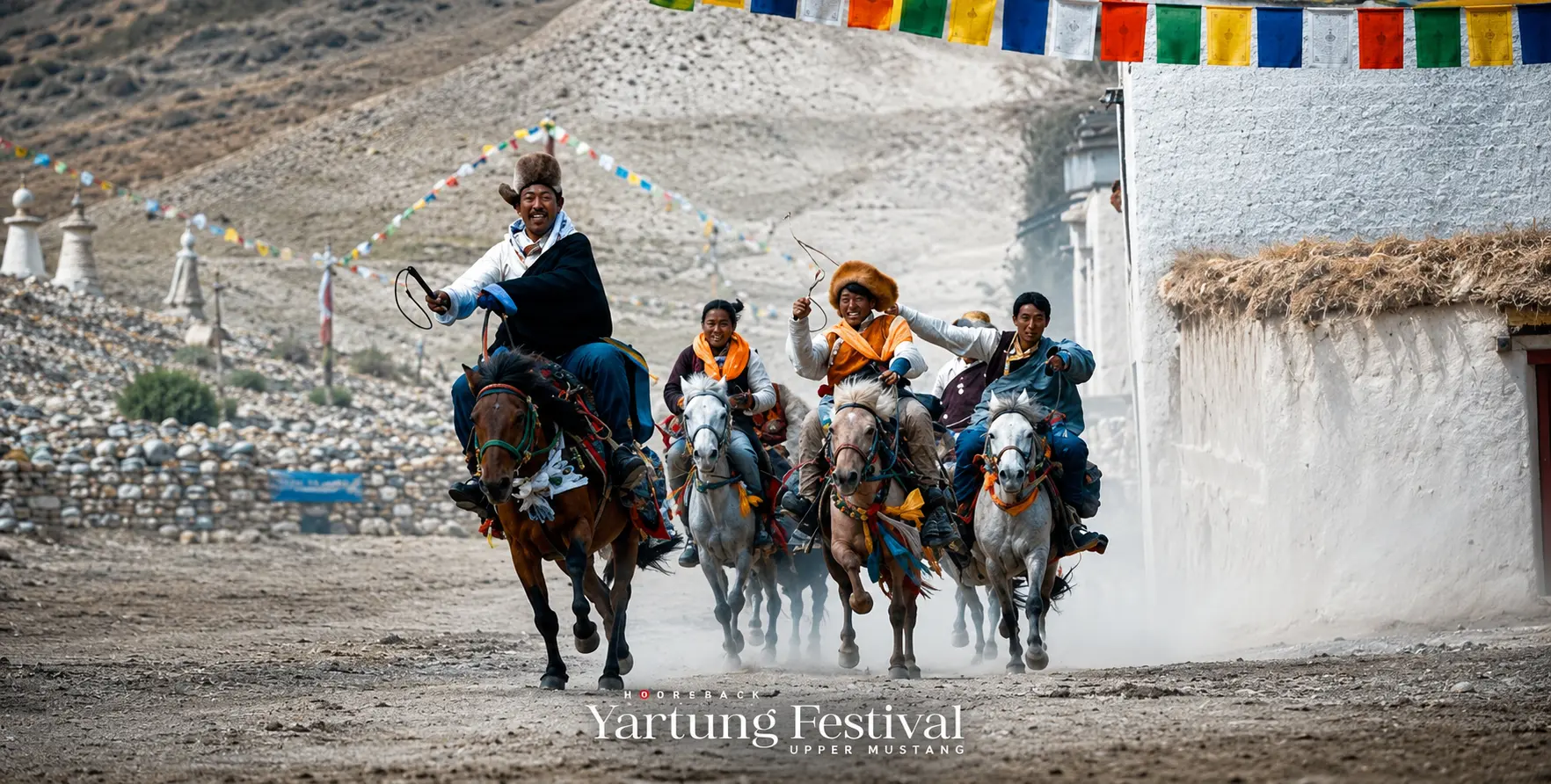
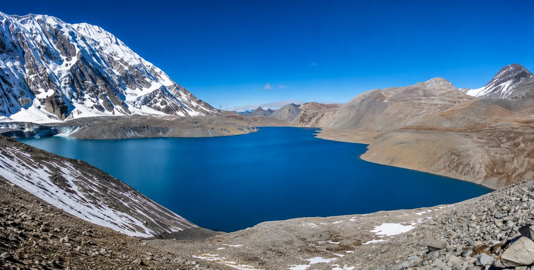
Plan your Panch Pokhari journey — Call or WhatsApp: +977-9851013196
E-mail:[email protected]